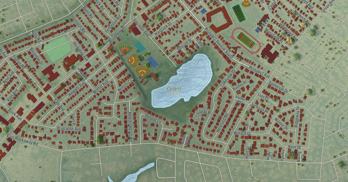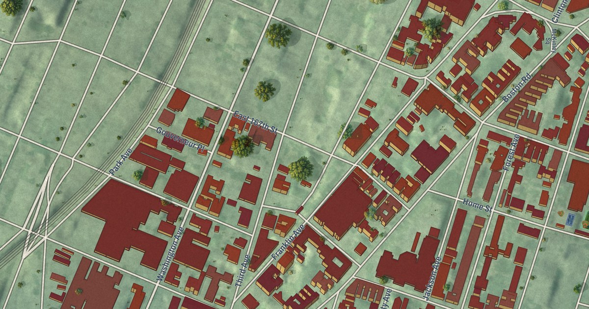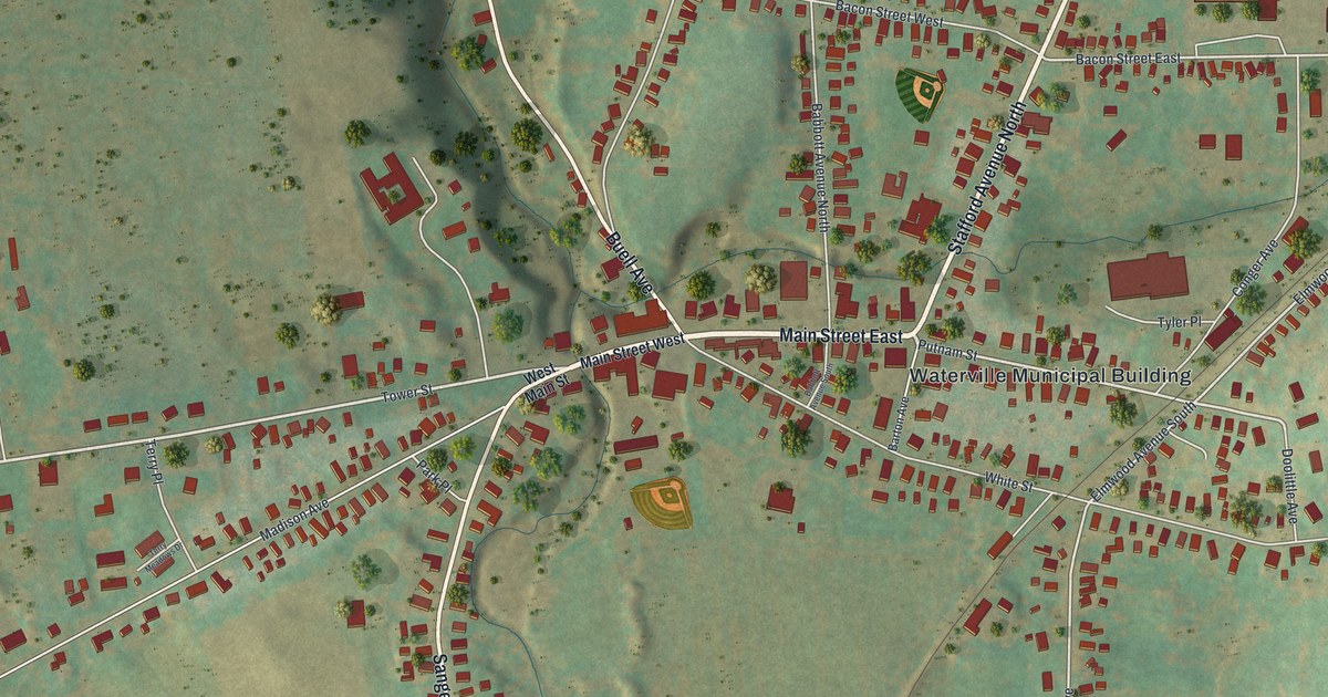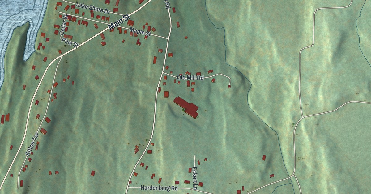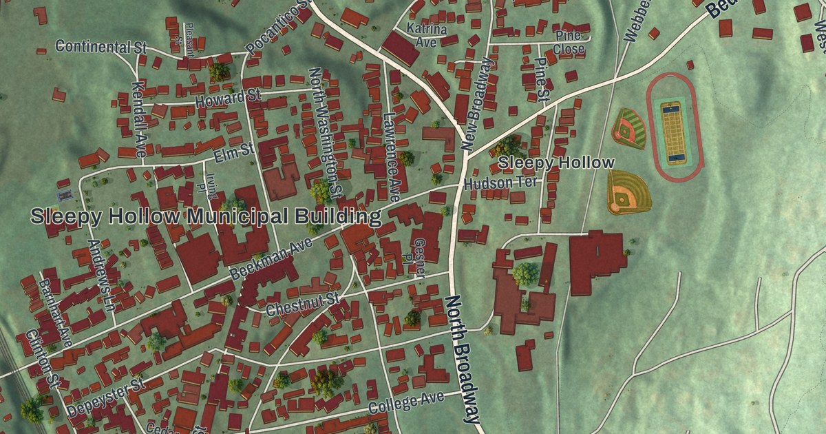
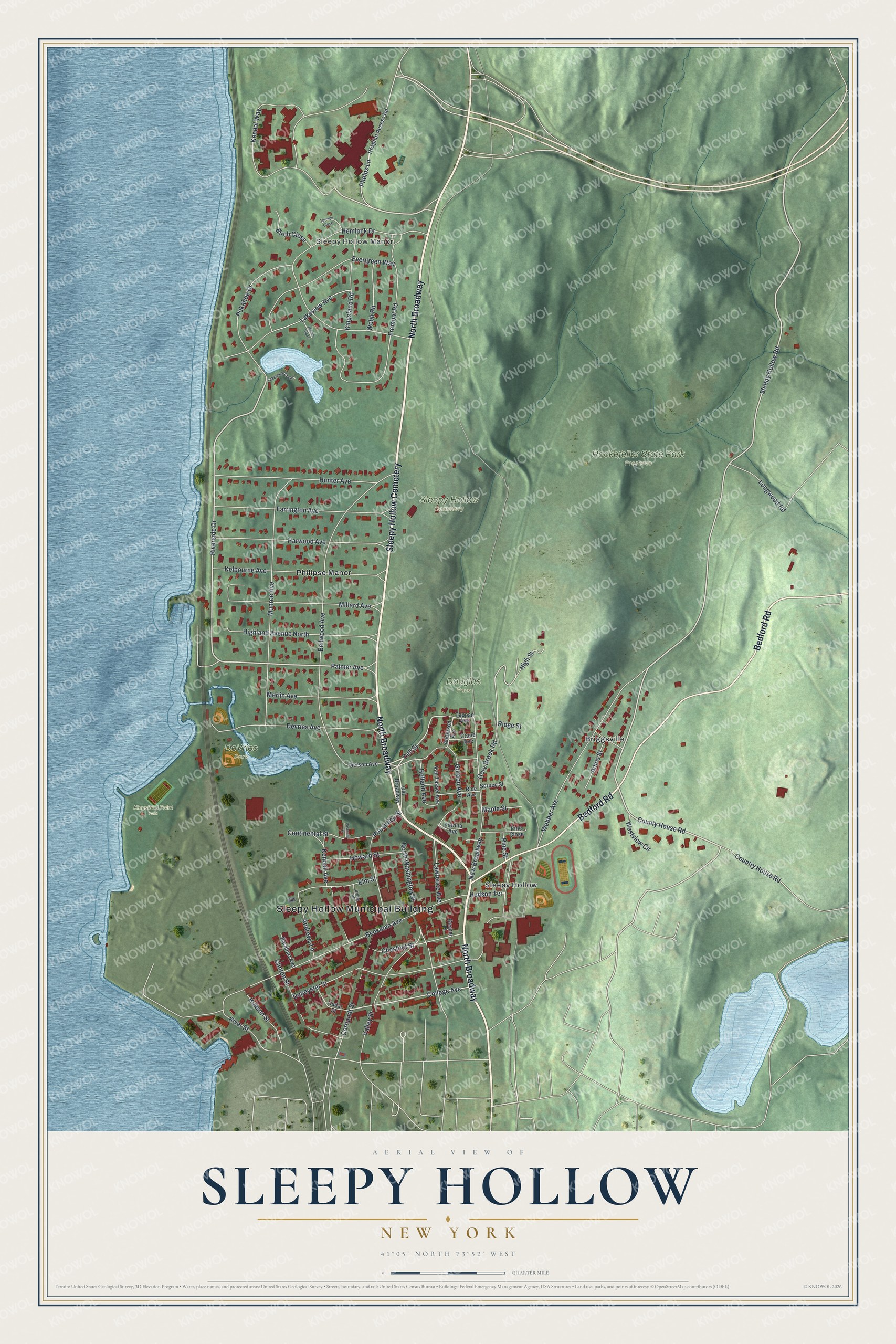
This beautifully detailed map of Sleepy Hollow, New York was created in 2026 using aerial imagery combined with modern topographical, census, street and landmark data. It’s a one-of-a-kind view of Sleepy Hollow that combines accurate data with a vintage aesthetic. The map shows every building in its true location, many of the roads carry their names, and the shaded topographic relief shows the shape of the land.
Explore an aerial view of Sleepy Hollow, New York
On the map you’ll find Sleepy Hollow Municipal Building, North Broadway, Sleepy Hollow Cemetery, Briggsville, DeVries Park, Douglas Park, Kingsland Point Park, and Rockefeller State Park Preserve, along with Bedford Road, Riverside Drive, and more. If you look closely you can even find your house accurately drawn in its correct location. Zoom in on the preview to look for yours.
Did You Know?
The village took the name Sleepy Hollow because Washington Irving set his legends of the Headless Horseman and Rip Van Winkle in this area. The name also reflects the community’s Dutch heritage. The village was first incorporated in 1874. That’s from the U.S. Geological Survey place names records.
Take a closer look at the Sleepy Hollow map
Names on this map
These names are printed on this map.
Places: Sleepy Hollow Municipal Building, Sleepy Hollow Manor, DeVries Park, Douglas Park, Kingsland Point Park, Rockefeller State Park Preserve, Sleepy Hollow Cemetery, Briggsville, Philipse Manor and Sleepy Hollow.
Streets and roads: North Broadway, Bedford Road, Riverside Drive, Phelps Lane, Palmer Avenue, County House Road, Dell Street, Sleepy Hollow Road, Gordon Avenue, College Avenue, Hudson Terrace, Ridge Street.
More street names, A to Z
Amos Street, Anderson Avenue, Andrews Lane, Barnhart Avenue, Beekman Avenue, Bellwood Avenue, Birch Close, Cedar Street, Chestnut Street, Clinton Street, Continental Street, Cortlandt Street, Country House Road, Crane Avenue, Depeyster Street, Devries Avenue, Elm Street, Evergreen Way, Farrington Avenue, Fremont Road, Gesner Place, Gory Brook Road, Harwood Avenue, Hemlock Drive, Highland Avenue North, High Street, Holland Avenue, Hospital Access Road, Howard Street, Hudson Street, Hunter Avenue, Irving Place, Katrina Avenue, Kelbourne Avenue, Kendall Avenue, Kendal Way, Kingsland Road, Lakeshore Close, Lakeview Avenue, Lawrence Avenue, Longwood Road, Manor Close, Maple Street, Merlin Avenue, Millard Avenue, Munroe Avenue, New Broadway, North Washington Street, Old Broadway, Pierson Avenue, Pine Close, Pine Street, Pleasant Street, Pocantico Street, Pokahoe Drive, Rice Avenue, River Street, Spruce Street, Tappan Avenue, Terrace Close, Valley Street, Van Tassel Avenue, Webber Avenue, Webb Road, Westview Circle.
See it on a wall
The Sleepy Hollow map as a framed print. Swipe for more.


This beautifully detailed map of Sleepy Hollow makes an attractive addition to your office, library, or den, and it can even be used to teach children the geography and history of the area. It also makes a great gift for someone who left Sleepy Hollow and still calls it home. When you’re done exploring, click here to get your copy of the Sleepy Hollow map.