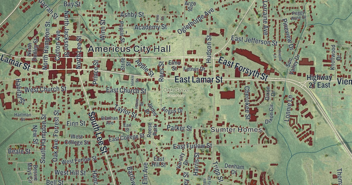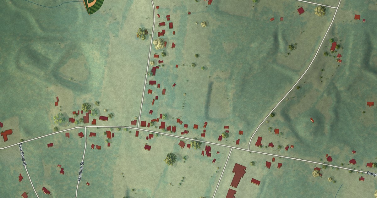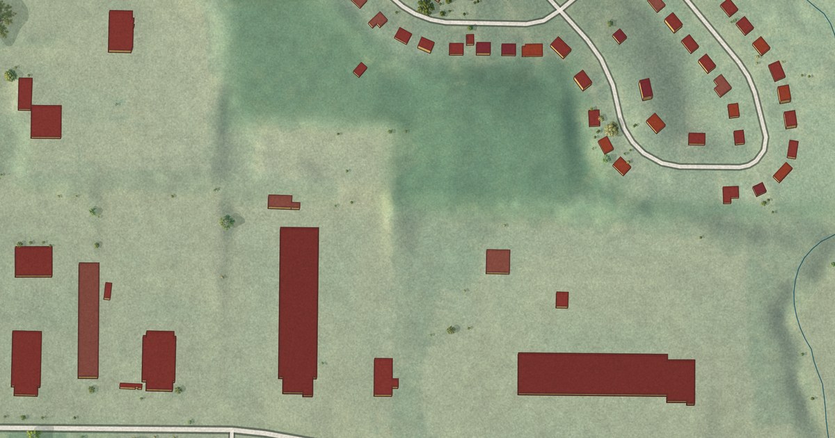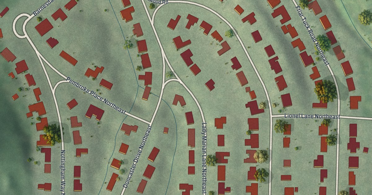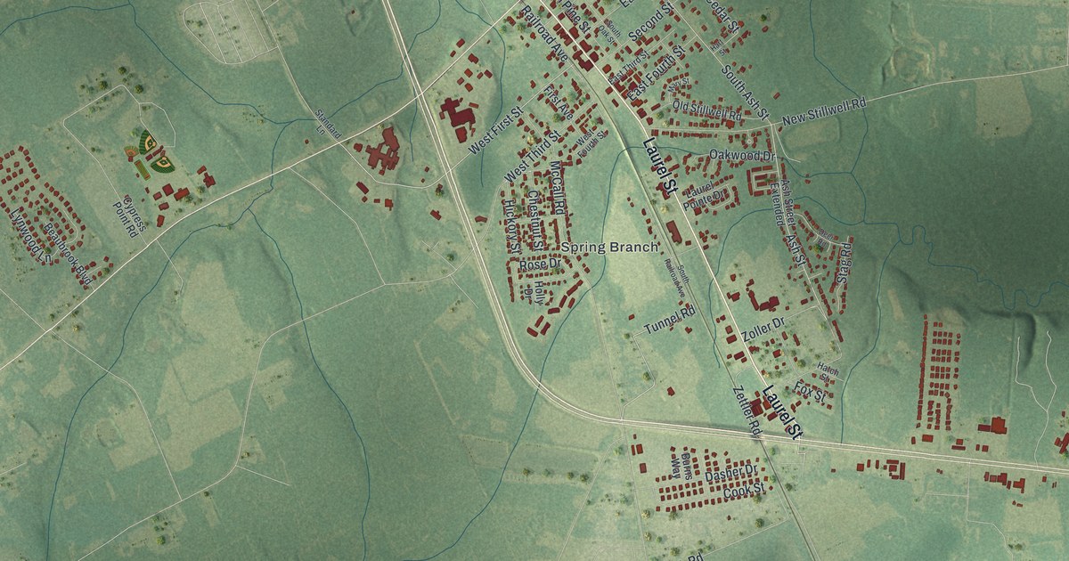
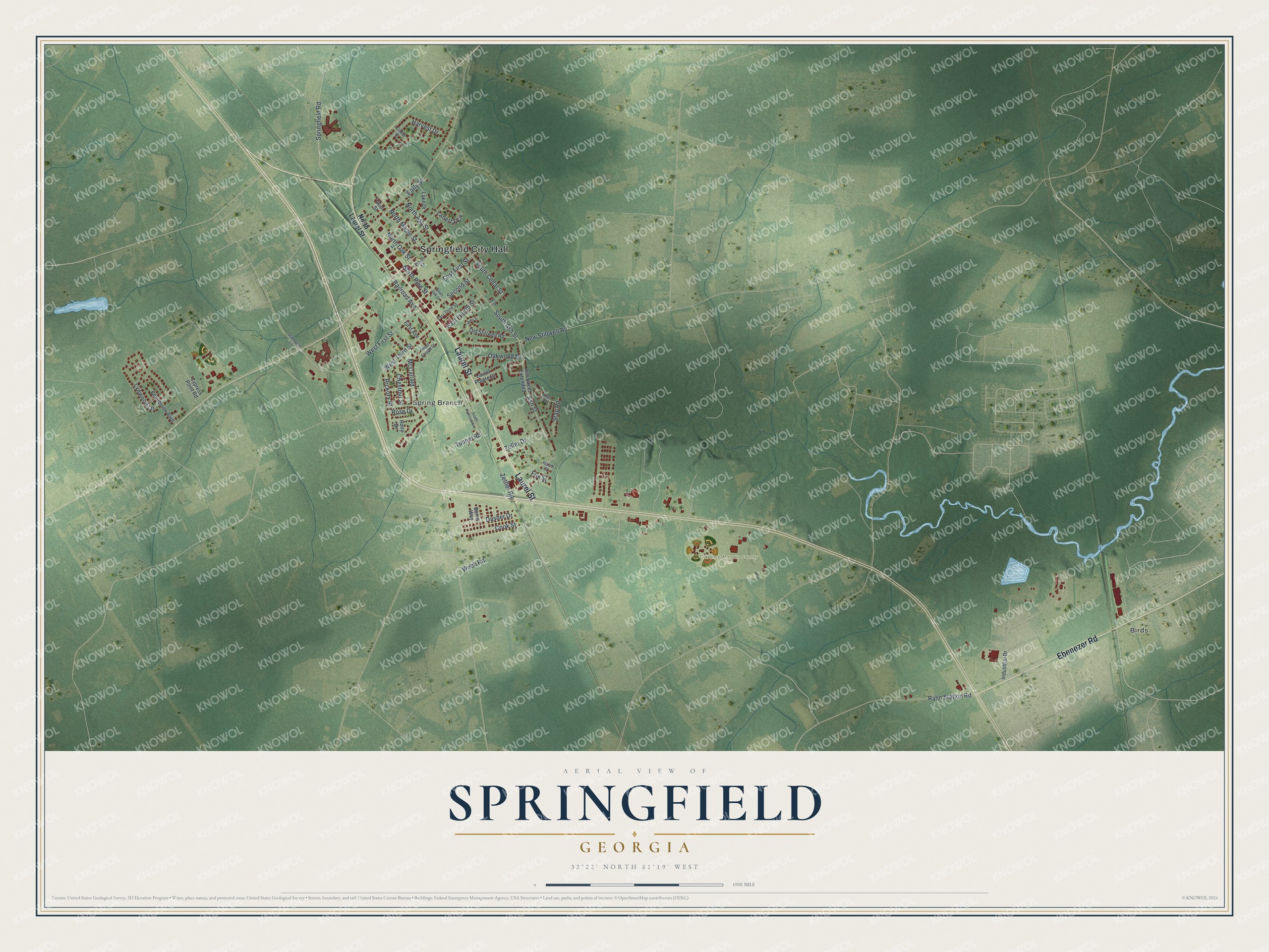
This beautifully detailed map of Springfield, Georgia was created in 2026 using aerial imagery combined with modern topographical, census, street and landmark data. It’s a one-of-a-kind view of Springfield that combines accurate data with a vintage aesthetic. The map shows every building in its true location, many of the roads carry their names, and the shaded topographic relief shows the shape of the land.
Explore an aerial view of Springfield, Georgia
On the map you’ll find Springfield City Hall, Spring Branch, Birds, and Clarance Morgan County Park, along with Laurel Street, Ebenezer Road, First Street, Tunnel Road, and more. If you look closely you can even find your house accurately drawn in its correct location. Zoom in on the preview to look for yours.
Did You Know?
Springfield was laid out as the Effingham County seat in 1799. It was known for health, pure air, good water, and a fine school. Many Savannah families once spent their summers here. Once travel to the upper parts of Georgia became easier, the summer visitors went elsewhere. That’s from the 1849 Statistics of the State of Georgia.
Take a closer look at the Springfield map
Names on this map
These names are printed on this map.
Places: Springfield City Hall, Spring Branch, Clarance Morgan County Park and Birds.
Streets and roads: Laurel Street, Ebenezer Road, West First Street, Tunnel Road, South Ash Street, South Cedar Street, Rahn Station Road, McCall Road, Ash Street, Railroad Avenue, West Third Street, New Stillwell Road.
More street names, A to Z
Ash Street Extended, Beaubrook Boulevard, Burns Way, Cedar Drive, Chestnut Street, Cook Street, Cypress Point Road, Dasher Drive, Deer Road, Early Street, East First Street, East Fourth Street, East Third Street, Elbert Street, First Avenue, Fox Street, Gum Street, Hart Street, Harvest Drive, Hatch Street, Hickory Street, Holly Drive, Industrial Drive, Laberta Circle, Lake Drive, Laurel Pointe Drive, Lynwood Lane, Mary Street, North Ash Street, North Laurel Street, North Maple Street, North Oak Street, North Pine Street, Oakwood Drive, Old Stillwell Road, Rose Drive, Second Street, South Oak Street, South Railroad Avenue, Springfield Road, Stag Road, Standard Lane, Webb Road, West Fourth Street, Zettler Road, Zoller Drive.
See it on a wall
The Springfield map as a framed print. Swipe for more.


This beautifully detailed map of Springfield makes an attractive addition to your office, library, or den, and it can even be used to teach children the geography and history of the area. It also makes a great gift for anyone with Springfield roots. When you’re done exploring, click here to get your copy of the Springfield map.