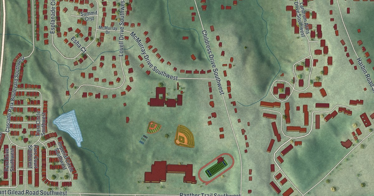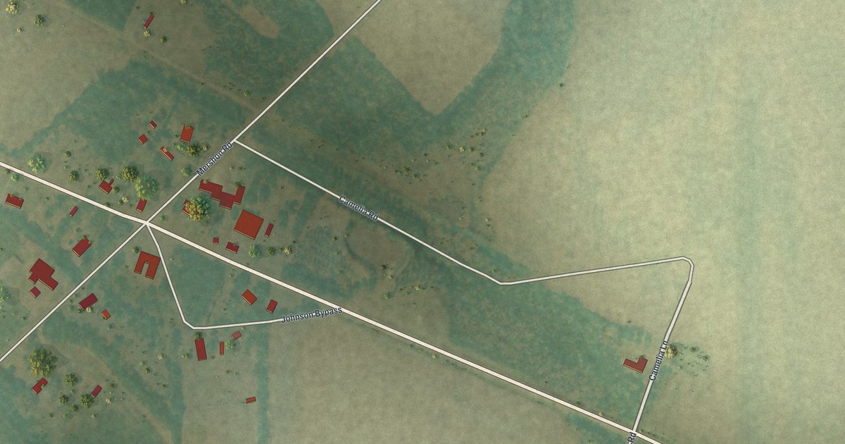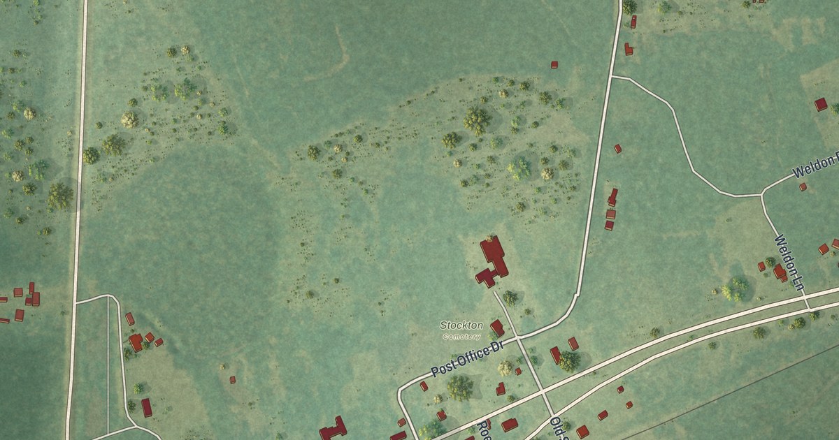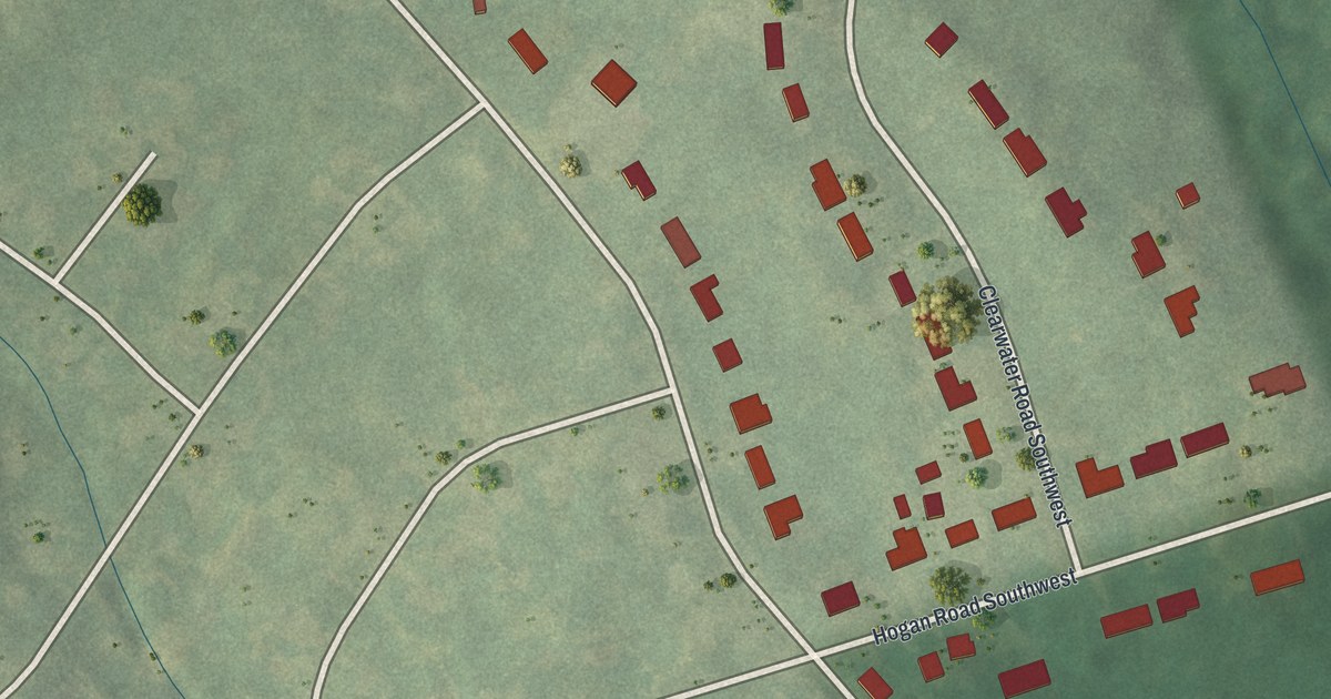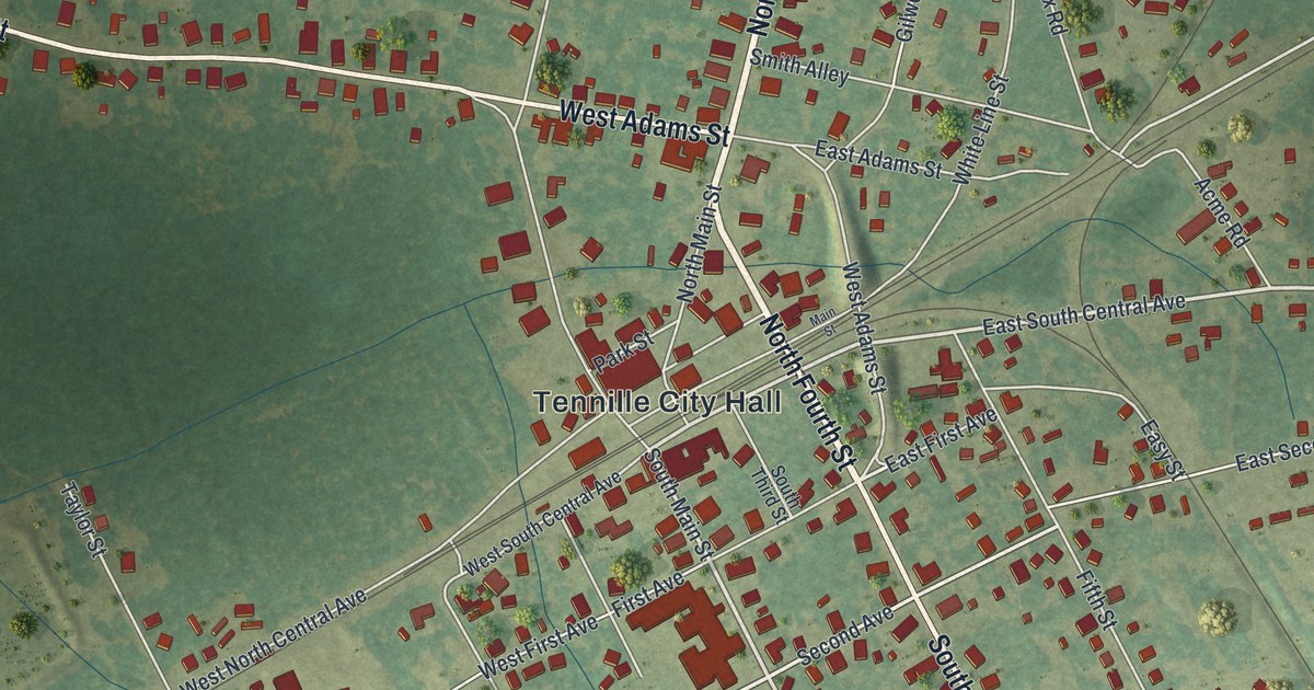
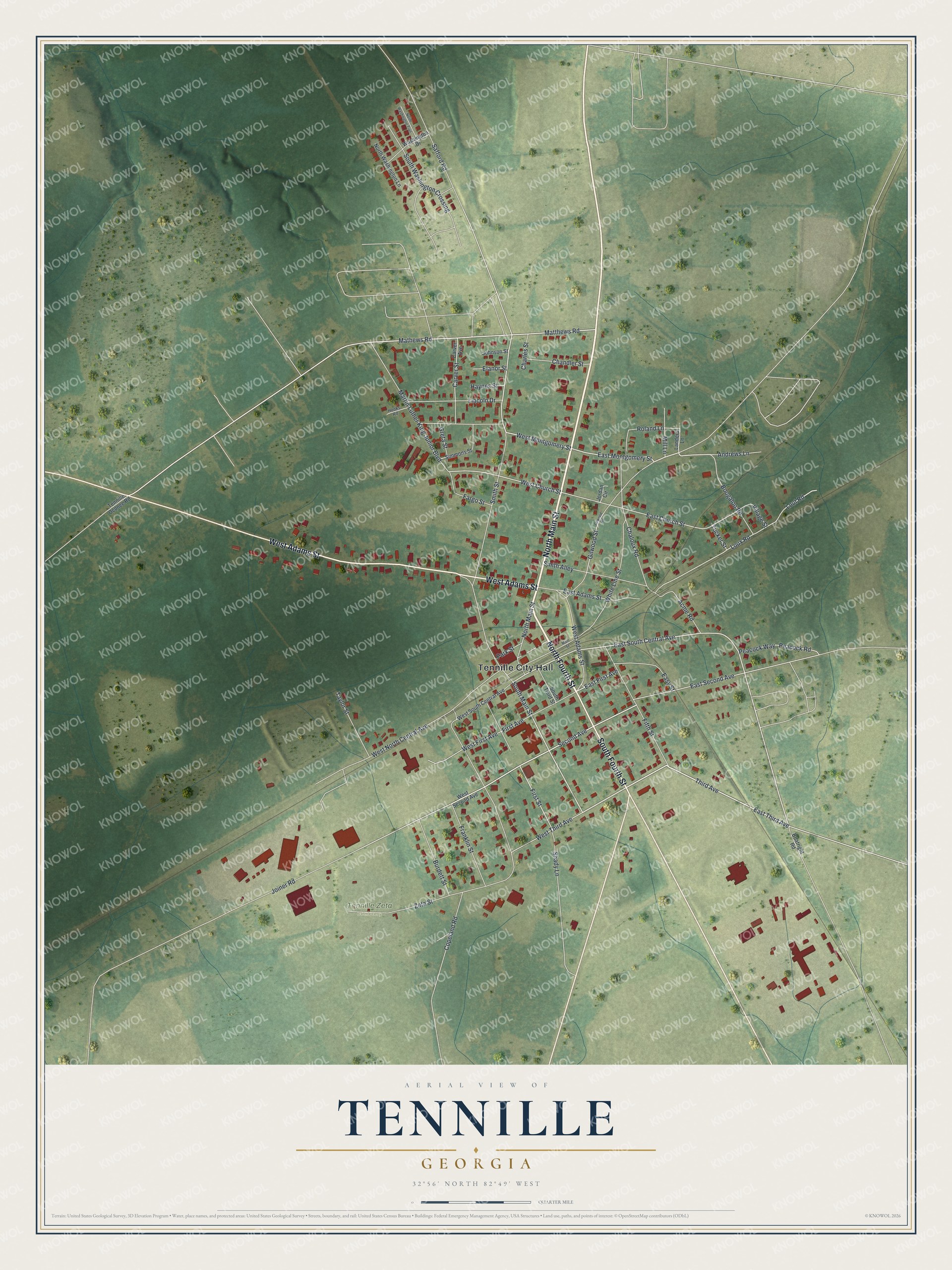
This beautifully detailed map of Tennille, Georgia was created in 2026 using aerial imagery combined with modern topographical, census, street and landmark data. It’s a one-of-a-kind view of Tennille that combines accurate data with a vintage aesthetic. The map shows every building in its true location, many of the roads carry their names, and the shaded topographic relief shows the shape of the land.
Explore an aerial view of Tennille, Georgia
On the map you’ll find Tennille City Hall and Tennille Zeta Cemetery, along with Main Street, Fourth Street, Adams Street, Third Avenue, and more. If you look closely you can even find your house accurately drawn in its correct location. Zoom in on the preview to look for yours.
Did You Know?
Tennille began as a plain railroad stop known only as No. 13 on the Central line. By 1900 it had grown into quite a little city. The Central railroad, the Wrightsville and Tennille road and lines to Augusta and Sandersville all served the town. That’s from the 1900 Story of Georgia and the Georgia People.
Take a closer look at the Tennille map
Names on this map
These names are printed on this map.
Places: Tennille City Hall and Tennille Zeta Cemetery.
Streets and roads: North Main Street, North Fourth Street, West Adams Street, South Fourth Street, East Third Avenue, West Montgomery Street, East South Central Avenue, South Main Street, East Montgomery Street, Smith Street, East Second Avenue, Joiner Road.
More street names, A to Z
Acme Road, Andrews Lane, Boatright Road, Boogaloo Road, Burdett Street, Carver Avenue, Carver Street, Chaloux Road, Chandler Street, Charles Street, Copeland Road, East Adams Street, East Church Street, East First Avenue, Easy Street, Elanor Street, Fargo Street, Fifth Street, First Avenue, First Street, Franklin Street, Gilwood Road, Gilwood Street, Greta Street, Haynes Street, Hooks Road, Johnson Street, Jordan Circle, Landers Lane, Lincoln Drive, Lout Road, Loux Road, Main Street, Martin Luther King Junior Boulevard, Mathews Road, Matthews Road, Mill Lane, North Washington Lane, North Washington Trail, Park Street, Peacock Road, Peacock Way, Roland Lane, Safford Road, Second Avenue, Shady Lane, Simmons Street, Smith Alley, South Third Street, South Washington Crossing, Taylor Street, Tennille Oconee Road, Third Avenue, Tucker Street, Village Street, Washington Drive, West Church Street, West First Avenue, West North Central Avenue, West Second Avenue, West South Central Avenue, West Third Avenue, White Line Street, Zeta Street.
See it on a wall
The Tennille map as a framed print. Swipe for more.


This beautifully detailed map of Tennille makes an attractive addition to your office, library, or den, and it can even be used to teach children the geography and history of the area. It also makes a great gift for anyone with Tennille roots. When you’re done exploring, click here to get your copy of the Tennille map.