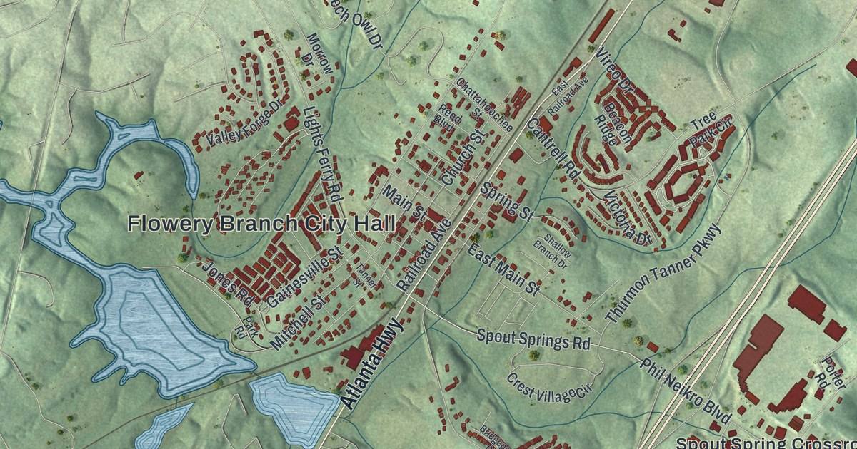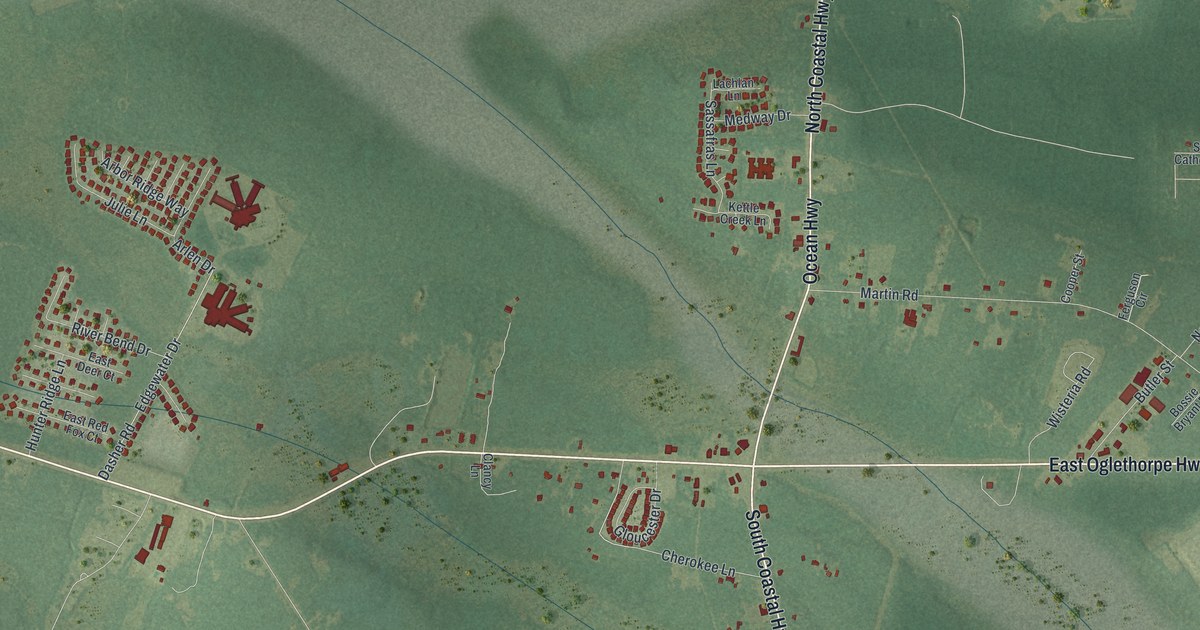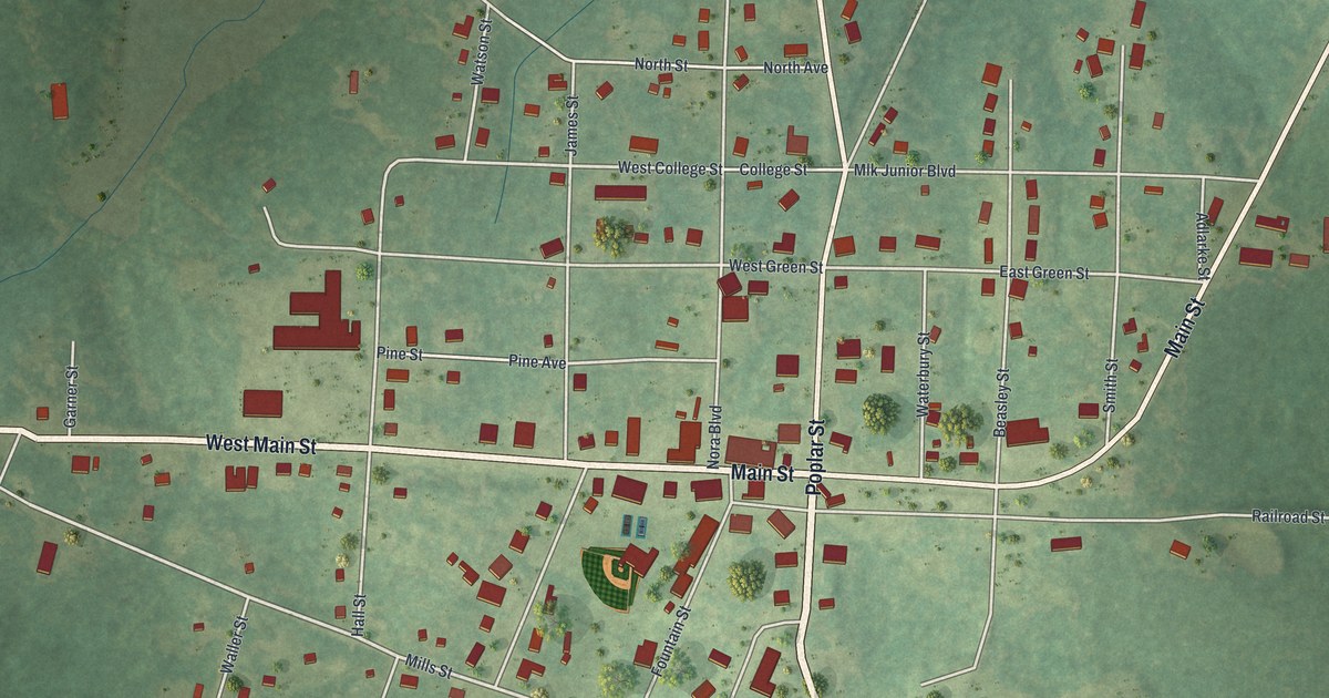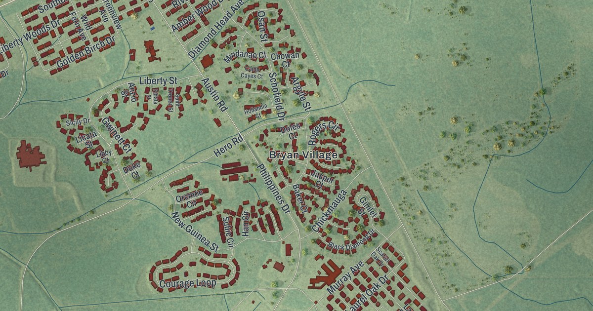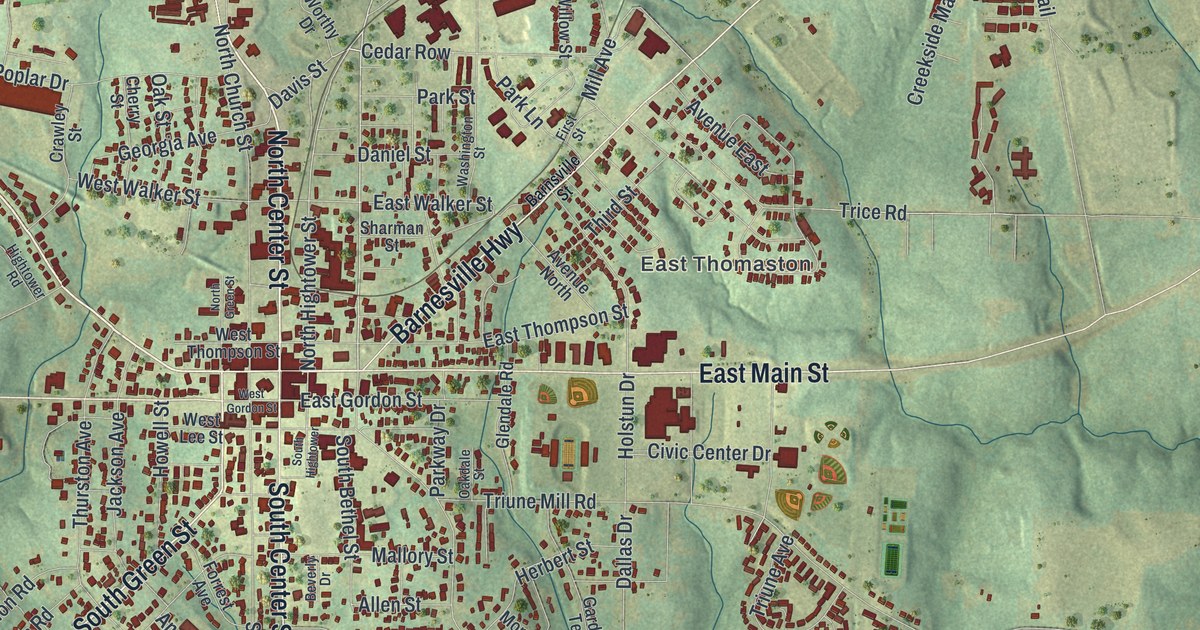
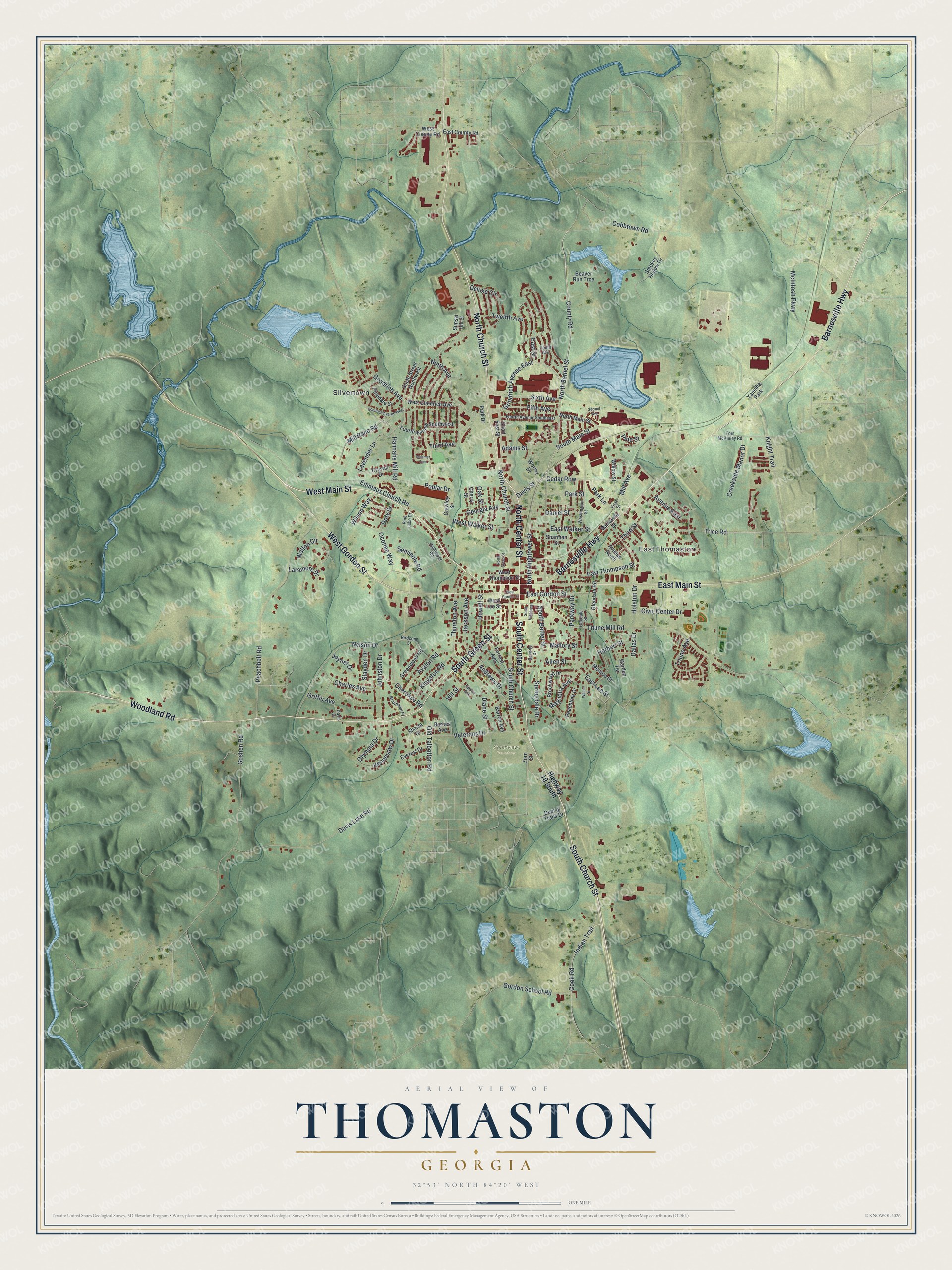
This beautifully detailed map of Thomaston, Georgia was created in 2026 using aerial imagery combined with modern topographical, census, street and landmark data. It’s a one-of-a-kind view of Thomaston that combines accurate data with a vintage aesthetic. The map shows every building in its true location, many of the roads carry their names, and the shaded topographic relief shows the shape of the land.
Explore an aerial view of Thomaston, Georgia
On the map you’ll find East Thomaston, Silvertown, and Southview Cemetery, along with Main Street, Center Street, Green Street, Church Street, Gordon Street, and more. If you look closely you can even find your house accurately drawn in its correct location. Zoom in on the preview to look for yours.
Did You Know?
Thomaston was founded in 1825 and named for General Jett Thomas. He built the statehouse at Milledgeville. In the War of 1812 he led an artillery company under General John Floyd. Afterward Georgia made him a major general of militia, and the legislature gave him a jeweled sword. That’s from the 1940 WPA guide to Georgia.
Take a closer look at the Thomaston map
Names on this map
These names are printed on this map.
Places: East Thomaston, Southview Cemetery, Silvertown and Yamaha Park.
Streets and roads: East Main Street, North Center Street, West Main Street, South Green Street, South Church Street, West Gordon Street, Barnesville Highway, North Church Street, Woodland Road, South Center Street, North Bethel Street, County Road.
More street names, A to Z
Adams Street, Allen Street, Andrews Drive, Avalon Road, Avenue East, Avenue North, Barnes Avenue, Barnsville Street, Barron Avenue, Beaver Run Trce, Beverly Drive, Birdsong Street, Brookwood Drive, Cedar Row, Charles Avenue, Cherokee Road, Cherry Street, Civic Center Drive, Cobbtown Road, Cook Road, Crawley Street, Creekside Manor Drive, Crystal Drive, Dallas Drive, Daniel Street, Davis Drive, Davis Lake Road, Davis Street, Deluxe Circle, Dept of Trans Drive, Diane Street, Doty Drive, East County Road, East Gordon Street, East Lee Street, East Street, East Thompson Street, East Walker Street, Emmaus Church Road, Everest Drive, Fifth Avenue, First Street, Forrest Avenue, Fourth Avenue Southeast, Fourth Avenue Southwest, Garden Terrace, Georgia Avenue, Glendale Road, Goodrich Avenue, Goodrich Avenue East, Goodrich Avenue West, Gordon School Road, Goshen Road, Greenwood Road, Griffin Avenue, Hannahs Mill Road, Herbert Street, Hightower Road, Highway 19 South, Hill Street, Holstun Drive, Howell Street, Indian Trail, Jackson Avenue, Johnston Drive, Joyner Drive, Kennesaw Drive, Kingston Road, Knight Trail, Laramore Drive, Lavender Lane, Magnolia Avenue, Mallory Street, McIntosh Parkway, Mill Avenue, Mill Race Road, Monroe Street, Nelson Drive, Ninth Avenue, North Green Street, North Hightower Street, North Main Street, Oakdale Street, Oak Street, Oconee Way, Old Talbotton Road, Olympia Drive, Park Drive, Park Lane, Park Street, Parkway Drive, Peachbelt Road, Peachtree Drive, Pinedale Street, Pine Lake Drive, Pine Street, Poplar Drive, Second Avenue, Seminole Road, Sharman Street, Shasta Drive, Short East Street, Sixth Avenue, Slayden Drive, Smokey Hollow Drive, South Bethel Street, South Hightower, South Main Street, South Street Northwest, Springdale Drive, Summer Trce, Sunset Hill Street, Tenth Avenue, Third Avenue, Third Street, Thurston Avenue, Tom McKinley Road, Trice Road, Triune Avenue, Triune Mill Road, Twelfth Avenue, Upson Avenue, Veterans Drive, Walnut Street, Walton Circle, Washington Street, West County Road, West Goodrich Avenue, West Lee Street, West Thompson Street, West Walker Street, Willow Street, Wilson Way, Woodlawn Place, Worthy Drive, Zorn Street.
See it on a wall
The Thomaston map as a framed print. Swipe for more.


This beautifully detailed map of Thomaston makes an attractive addition to your office, library, or den, and it can even be used to teach children the geography and history of the area. It also makes a great gift for anyone with Thomaston roots. When you’re done exploring, click here to get your copy of the Thomaston map.