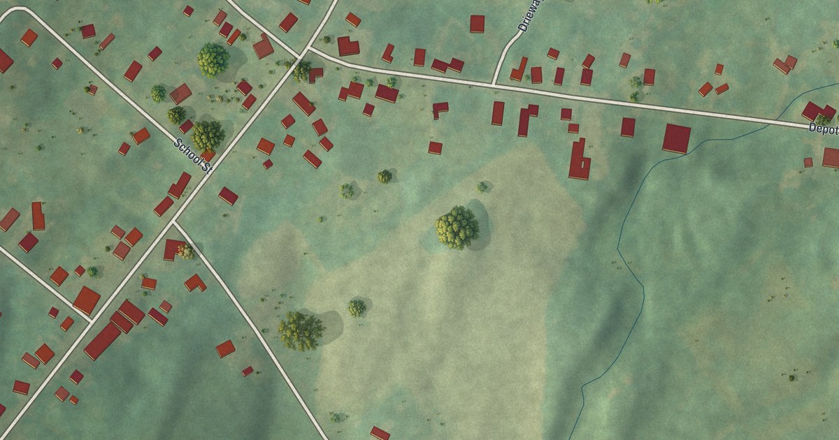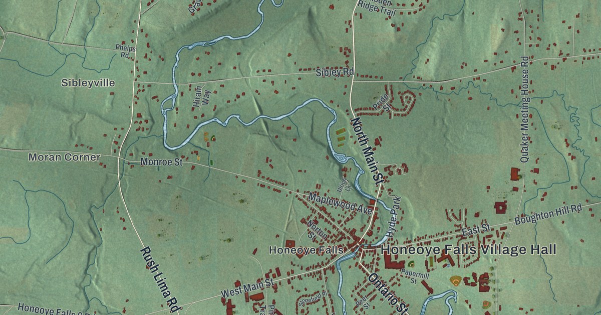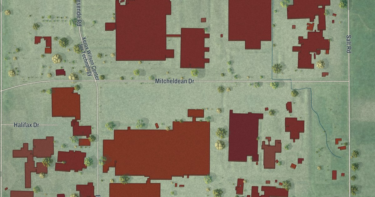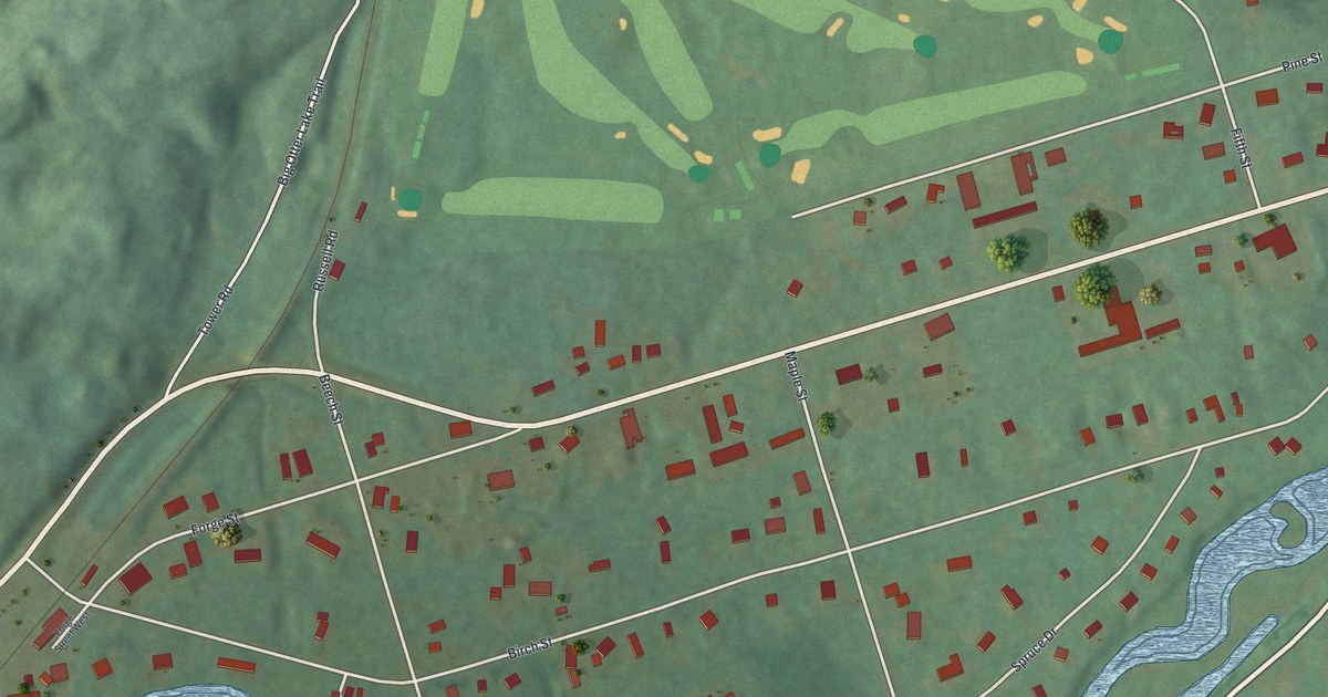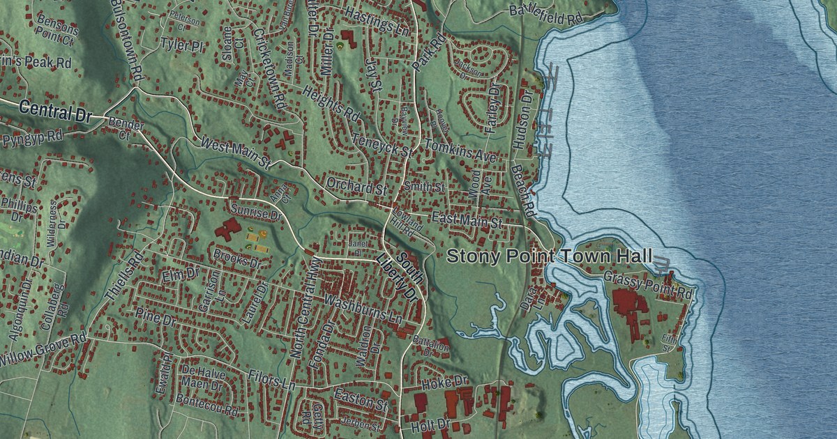
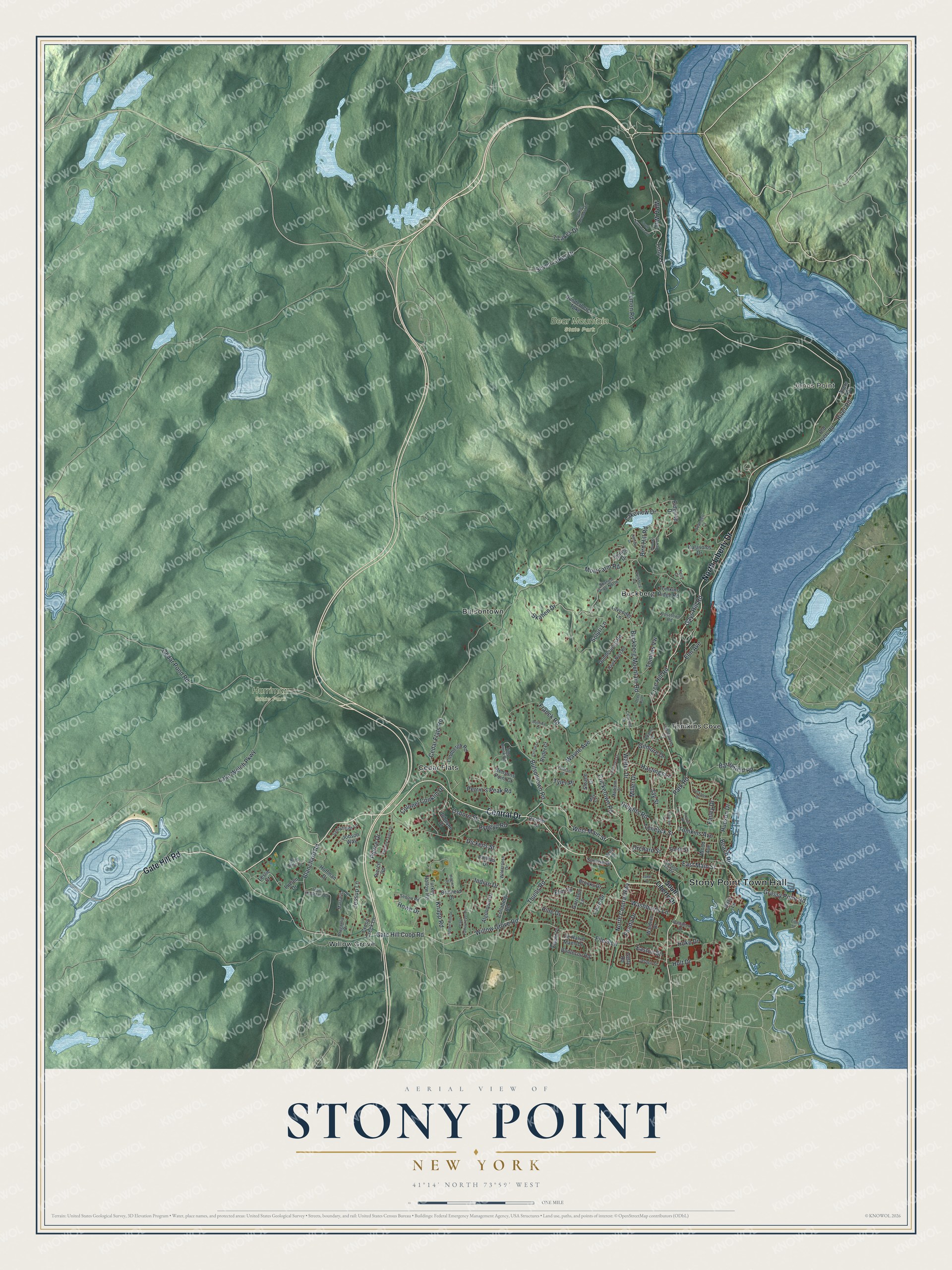
This beautifully detailed map of Stony Point, New York was created in 2026 using aerial imagery combined with modern topographical, census, street and landmark data. It’s a one-of-a-kind view of Stony Point that combines accurate data with a vintage aesthetic. The map shows every building in its true location, many of the roads carry their names, and the shaded topographic relief shows the shape of the land.
Explore an aerial view of Stony Point, New York
On the map you’ll find Stony Point Town Hall, Jones Point, Buckberg, Bulsontown, Cedar Flats, Tomkins Cove, Bear Mountain State Park, and Harriman State Park, along with Gate Hill Road, Central Drive, Liberty Drive, Main Street, and more. If you look closely you can even find your house accurately drawn in its correct location. Zoom in on the preview to look for yours.
Did You Know?
Stony Point takes its name from the rocky bluff that juts into the Hudson. In 1826 the federal government built a lighthouse here, 179 feet above sea level. A few village buildings date from before the Revolution. James A. Farley won his first election here, as town clerk. That’s from the 1940 WPA guide to New York.
Take a closer look at the Stony Point map
Names on this map
These names are printed on this map.
Places: Stony Point Town Hall, Jones Point, Bear Mountain State Park, Harriman State Park, Buckberg, Bulsontown, Cedar Flats, Tomkins Cove and Willow Grove.
Streets and roads: Gate Hill Road, Central Drive, North Liberty Drive, West Main Street, Grassy Point Road, East Main Street, River Road, Beach Road, Gate Hill Coop Road, Willow Grove Road, Thiells Road, Farley Drive.
More street names, A to Z
7 Lakes Drive, Adams Drive, Algonquin Drive, Anna Court, Ayers Drive, Battalion Drive, Battlefield Road, Bayview Drive, Bender Court, Bensons Point Court, Bird Hill Road, Blanchard Road, Blue Note Lane, Bontecou Road, Bragaglia Drive, Brainerd Drive, Brooks Drive, Buckberg Mountain Road, Buckberg Road, Bullowa Drive, Bulsontown Road, Capt Faldermeyer Drive, Cedar Flats Road, Cedar Pond Road, Collaberg Road, Colonel Conklin Drive, Concord Drive, Cricketown Road, Cristin Court, Cross Creek Lane, Dara Lane, Deer Run, De Halve Maen Drive, Dickens Street, Dunderberg Road, Dunderberg Turnpike, Easton Street, Elm Avenue, Elm Drive, Ewald Place, Fifth Street, Filors Lane, Fonda Drive, Franck Road, Free Hill Road, Garrison Lane, Gays Hill Road, Getty Road, Gilmore Drive, Hastings Lane, Hawk Nest Road, Heights Road, Hidden Hills Drive, Higgins Drive, Hillside Drive, Hoffman Drive, Hoke Drive, Holt Drive, Hoover Place, Howe Drive, Hudson Drive, Hudson View Drive, Indian Drive, Irish Mountain Court, Jackson Drive, Janet Place, Jay Street, Jerben Street, Jessup Lane, Jobson Way, Johnson Drive, Katavolos Drive, Kelly Court, Knapp Road, Lakeview Drive, Lake Welch Parkway, Laurel Drive, Lavender Lane, Lemon Road, Leslie Court, Lighthouse Court, Lindbergh Road, Lowland Hill Road, Lucien Drive, Madison Court, Margarita Drive, May Court, Miller Drive, Mott Farm Road, North Central Highway, Old Ayers Road, Orchard Street, Osborn Street, Park Road, Perkins Memorial Drive, Perrin's Peak Road, Peterson Court, Phillips Drive, Pierce Drive, Pierce Road, Pine Drive, Pyngyp Road, Ridgetop Drive, Rosetown Road, Ryder Court, Sandyfields Lane, Scandell Court, Sequin Road, Seven Lakes Drive, Skahen Drive, Skahen Drive North, Sloane Court, Smith Street, Soluri Lane, South Entrance Road, South Liberty Drive, Spring Drive, Sunrise Drive, Teneyck Street, Timp Brook Road, Timp Lane, Tomkins Avenue, Tomkins Ridge Road, Tomlins Vw, Turkey Hollow Road, Tyler Place, Van Buren Street, Waldron Drive, Walter Drive, Washburns Lane, Wayne Avenue, Wilderness Drive, Wood Avenue, WPA Way, Zachary Taylor Street.
See it on a wall
The Stony Point map as a framed print. Swipe for more.


This beautifully detailed map of Stony Point makes an attractive addition to your office, library, or den, and it can even be used to teach children the geography and history of the area. It also makes a great gift for anyone who grew up in Stony Point or moved away. When you’re done exploring, click here to get your copy of the Stony Point map.