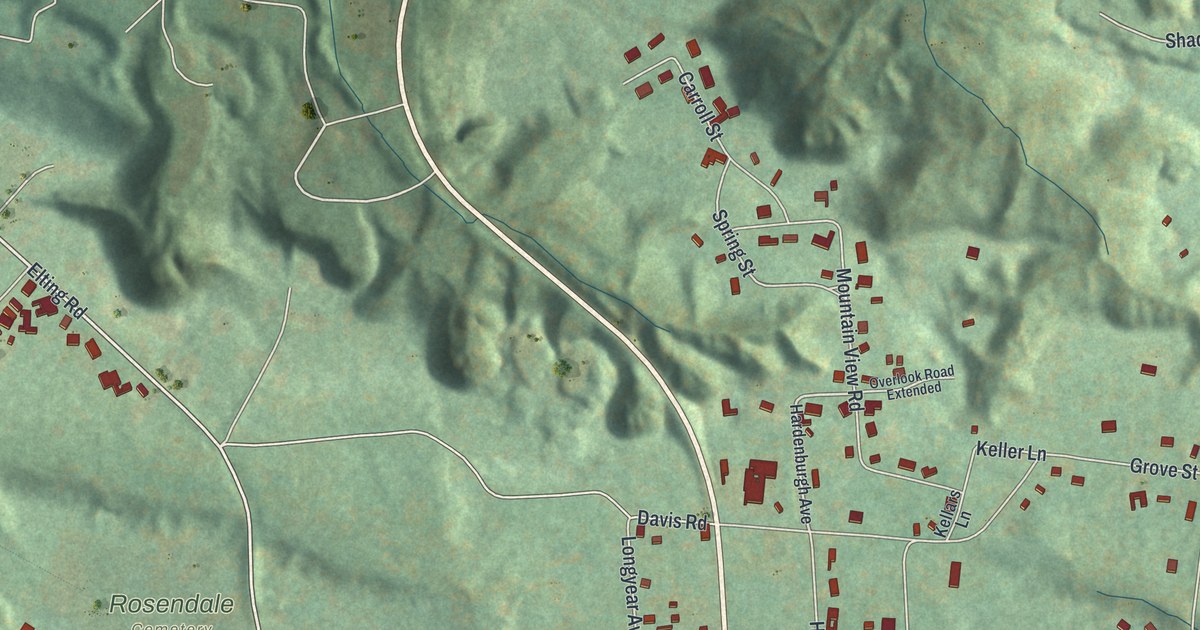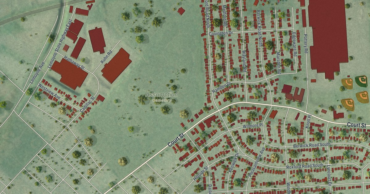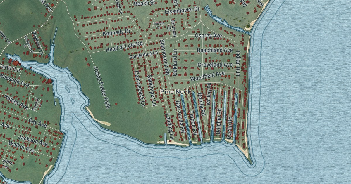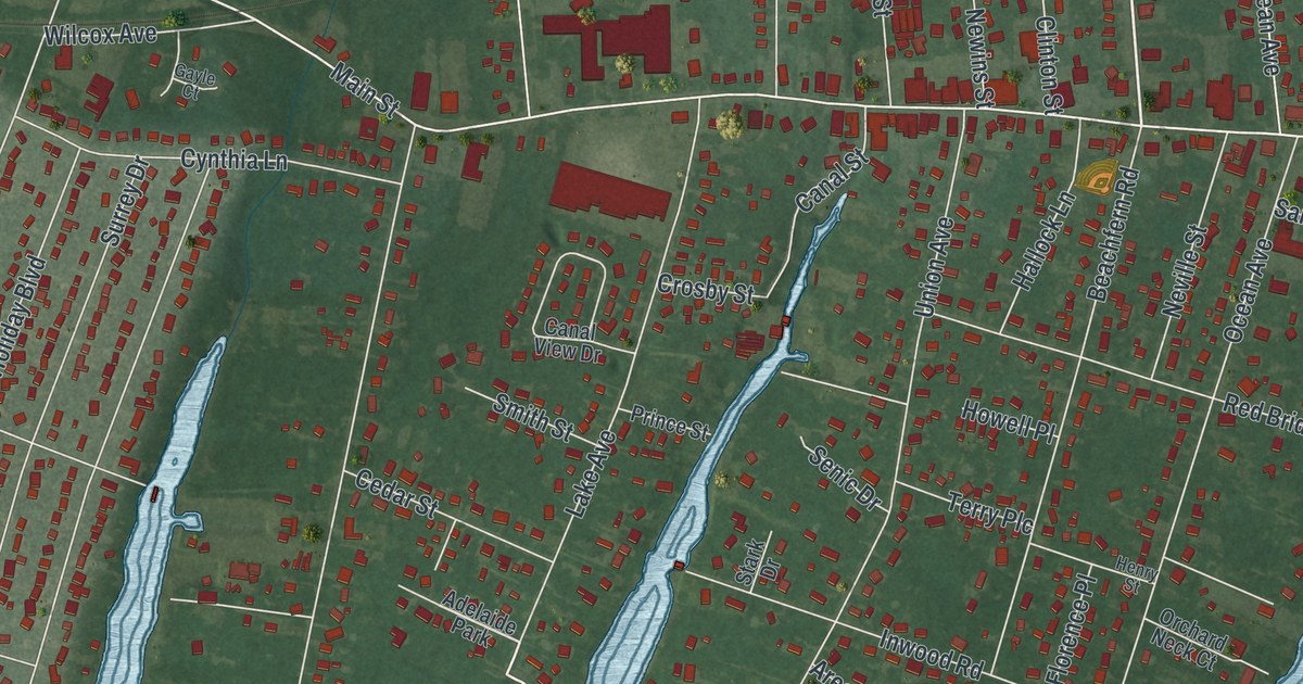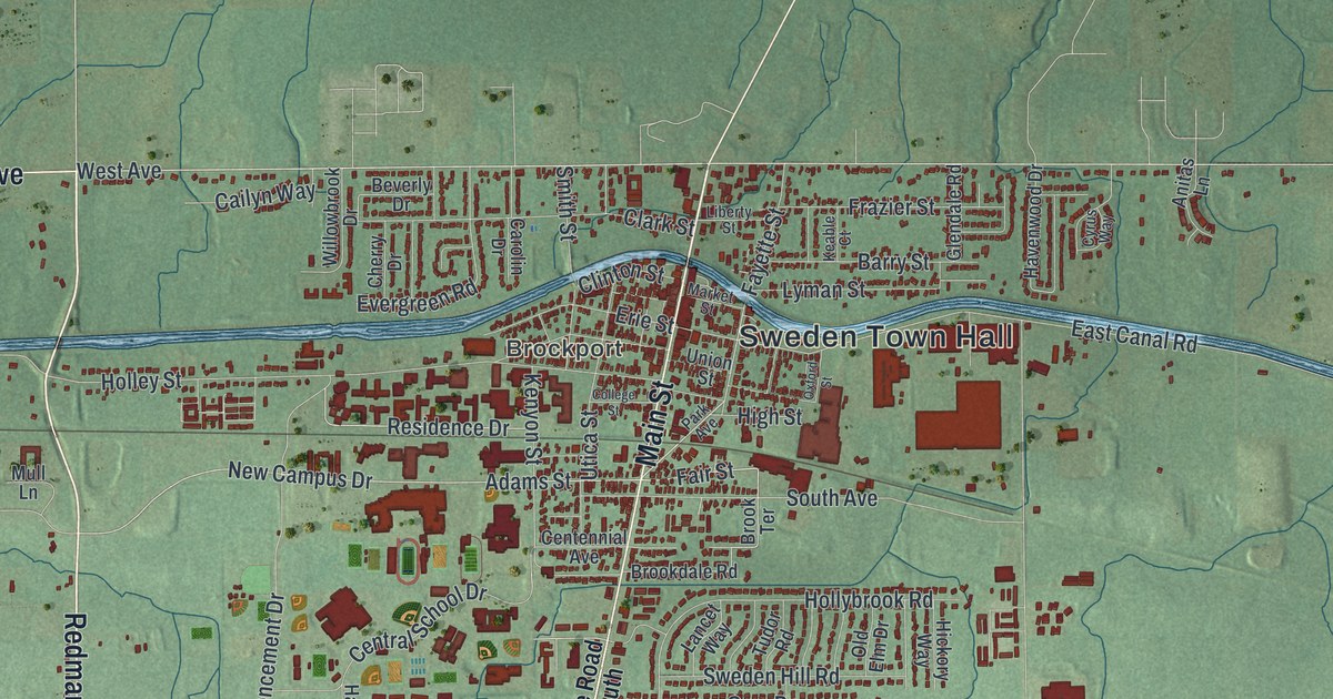
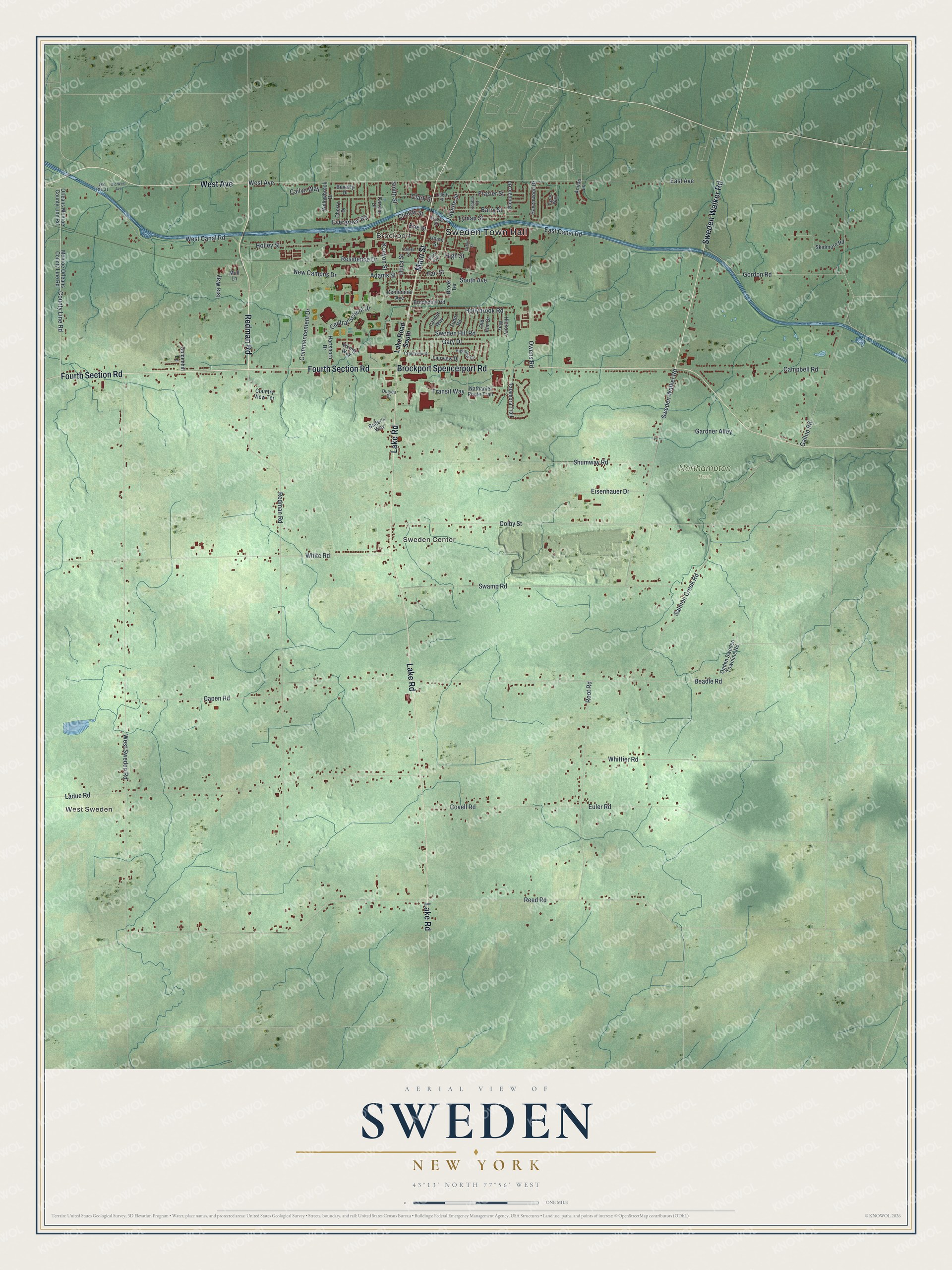
This beautifully detailed map of Sweden, New York was created in 2026 using aerial imagery combined with modern topographical, census, street and landmark data. It’s a one-of-a-kind view of Sweden that combines accurate data with a vintage aesthetic. The map shows every building in its true location, many of the roads carry their names, and the shaded topographic relief shows the shape of the land.
Explore an aerial view of Sweden, New York
On the map you’ll find Sweden Town Hall, West Sweden, Brockport, Sweden Center, and Northampton Park, along with Redman Road, Main Street, Lake Road, West Avenue, and more. If you look closely you can even find your house accurately drawn in its correct location. Zoom in on the preview to look for yours.
Did You Know?
Hiel Brockway founded the village of Brockport, in the town of Sweden, in 1822, and it took his name. It grew as a port on the Erie Canal. For a short time it was the canal’s western end, until the waterway was extended to Buffalo.
Take a closer look at the Sweden map
Names on this map
These names are printed on this map.
Places: Sweden Town Hall, West Sweden, Brockport, Sweden Center and Northampton Park.
Streets and roads: Redman Road, Main Street, Lake Road, West Avenue, Fourth Section Road, Brockport Spencerport Road, Sweden Walker Road, County Line Road, Fair Street, Adams Street, New Campus Drive, Reed Road.
More street names, A to Z
Anitas Lane, Bader's Way, Barry Street, Beadle Road, Beverly Drive, Brookdale Road, Brook Terrace, Cailyn Way, Campbell Road, Capen Road, Carolin Drive, Centennial Avenue, Central School Drive, Cherry Drive, Clark Street, Clinton Street, Colby Street, College Street, Commencement Drive, Country View Terrace, Covell Road, Crestview Drive, Cyrus Way, Duryea Drive, East Avenue, East Canal Road, Eisenhauer Drive, Erie Street, Euler Road, Evergreen Road, Fairview Drive, Fayette Street, Frazier Street, Gallup Road, Gardner Alley, Gary Drive, Glendale Road, Goldenhill Lane, Gordon Road, Hartshorn Drive, Havenwood Drive, Hickory Way, High Street, Highview Circle, Holley Street, Hollybrook Road, Isla Way, Keable Court, Kenyon Street, Ladue Road, Lake Road South, Lancet Way, Liberty Street, Lyman Street, Market Street, Monroe Orleans County Line Road, Mull Lane, Nathaniel Poole Trail, Ogden Sweden Townline Road, Old Elm Drive, Old Route 31, Old West Avenue, Orleans Monroe County Line Road, Owens Road, Oxford Street, Park Avenue, Residence Drive, Root Road, Salmon Creek Road, Shumway Road, Skidmore Road, Smith Street, South Avenue, Swamp Road, Sweden Hill Road, Talamora Trail, Transit Way, Tudor Road, Union Street, Utica Street, Viking Way, West Canal Road, West Sweden Road, White Road, Whittier Road, Willowbrook Drive.
See it on a wall
The Sweden map as a framed print. Swipe for more.


This beautifully detailed map of Sweden makes an attractive addition to your office, library, or den, and it can even be used to teach children the geography and history of the area. It also makes a great gift for anyone who grew up in Sweden or moved away. When you’re done exploring, click here to get your copy of the Sweden map.