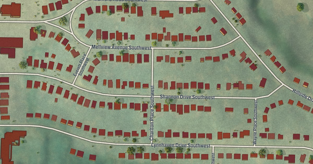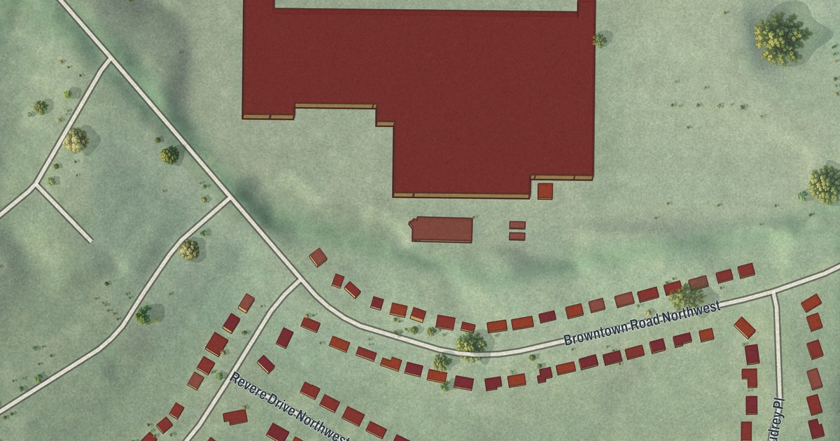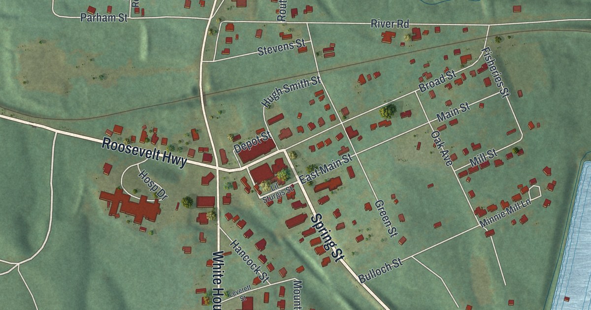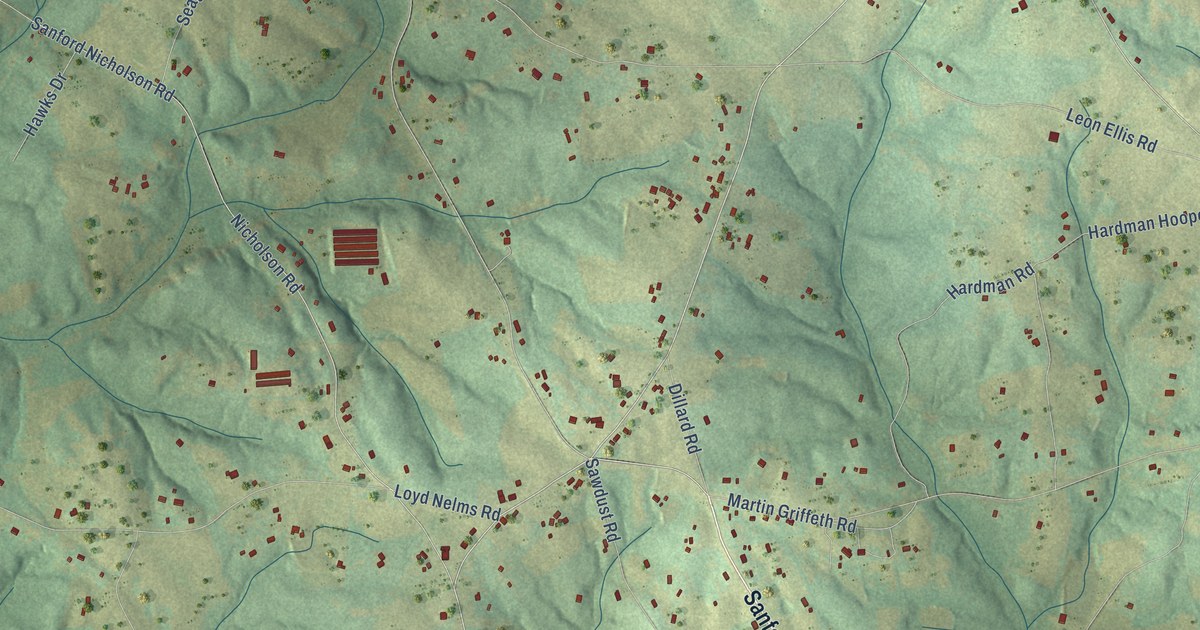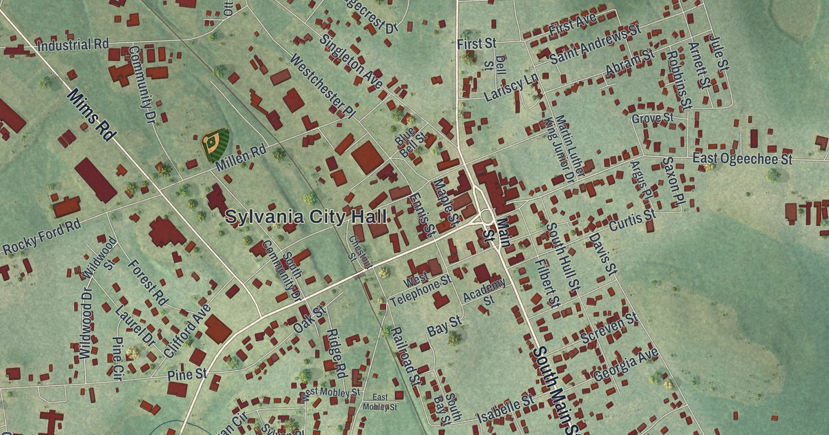
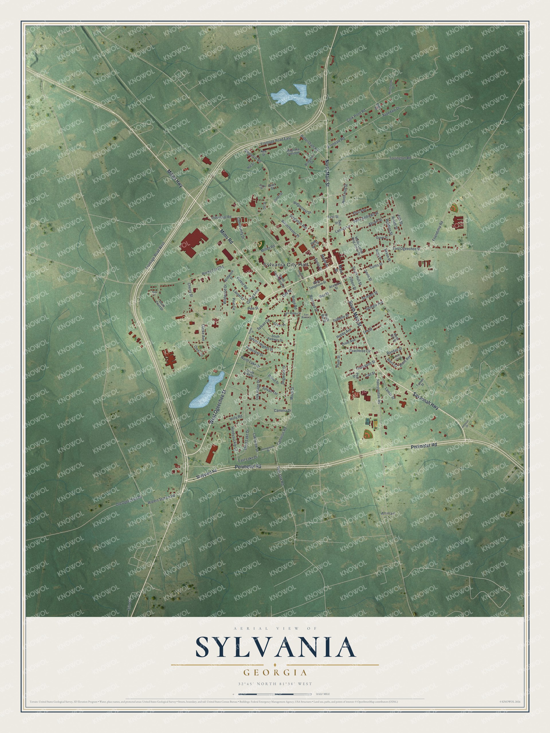
This beautifully detailed map of Sylvania, Georgia was created in 2026 using aerial imagery combined with modern topographical, census, street and landmark data. It’s a one-of-a-kind view of Sylvania that combines accurate data with a vintage aesthetic. The map shows every building in its true location, many of the roads carry their names, and the shaded topographic relief shows the shape of the land.
Explore an aerial view of Sylvania, Georgia
On the map you’ll find Sylvania City Hall and Altman, along with Perimeter Road, Main Street, Millen Highway, Savannah Highway, and more. If you look closely you can even find your house accurately drawn in its correct location. Zoom in on the preview to look for yours.
Take a closer look at the Sylvania map
Names on this map
These names are printed on this map.
Places: Sylvania City Hall and Altman.
Streets and roads: Perimeter Road, North Main Street, Millen Highway, Savannah Highway, South Main Street, West Ogeechee Street, Mims Road, Cameron Road, East Lake Drive, East Ogeechee Street, Mock Street, Waters Station Road.
More street names, A to Z
Abram Street, Academy Street, Argus Place, Arnett Street, Avondale Drive, Avondale Road, Azalea Drive, Bay Street, Blue Bell Street, Bridgeton Drive, Cail Street, Camelia Drive, Cherry Street, Chestnut Street, Clarke Avenue, Clarke Circle, Clifford Avenue, Community Drive, Cork Pond Road, Curtis Street, Davis Street, Dell Street, Dixie Avenue, Dogwood Drive, East Mobley Street, Ennis Street, Erin Court, Filbert Street, First Avenue, First Street, Forest Road, Friendship Road, Frontage Road East, Frontage Road West, Georgia Avenue, Grove Street, Habersham Road, Halcyondale Road, Hat Street, Hiers Avenue, Hiers Street, Hobby Avenue, Hollingsworth Road, Holly Road, Honeysuckle Lane, Industrial Road, Isabelle Street, Jacob Street, Johnson Drive, Jones Street, Jule Street, Lakeview Drive, Lanier Street, Lariscy Lane, Laurel Drive, Lee Street, Magnolia Crescent, Main Street, Maple Street, Martin Luther King Junior Drive, Millen Road, Mills Road, Morningside Drive, New Street, North Elm Street, North Hull Street, North Lake Drive, Oak Ridge Drive, Oak Street, Old Ogeechee Road, Ott Street, Peachtree Circle, Pearl Street, Pear Street, Pine Circle, Pinecrest Drive, Pine Street, Plum Street, Railroad Street, Randall Street, Ridgecrest Drive, Ridge Road, Robbins Street, Rocky Ford Road, Saint Andrews Street, Saxon Place, Screven Street, Sheppard Road, Singleton Avenue, Singleton Road, South Bay Street, South Community Drive, South Court, South Court Drive, South Elm Street, South Hull Street, South Lake Drive, South Parkway Drive, Sylvan Circle, Sylvan Heights Drive, Sylvan Place, Sylvan Terrace, Tanner Street, Thompson Street, Torrington Road, Twin Oak Road, Walnut Drive, Westchester Place, West Lake Drive, West Mobley Street, West Telephone Street, Wildwood Drive, Wildwood Street.
See it on a wall
The Sylvania map as a framed print. Swipe for more.


This beautifully detailed map of Sylvania makes an attractive addition to your office, library, or den, and it can even be used to teach children the geography and history of the area. It also makes a great gift for someone who left Sylvania and still calls it home. When you’re done exploring, click here to get your copy of the Sylvania map.