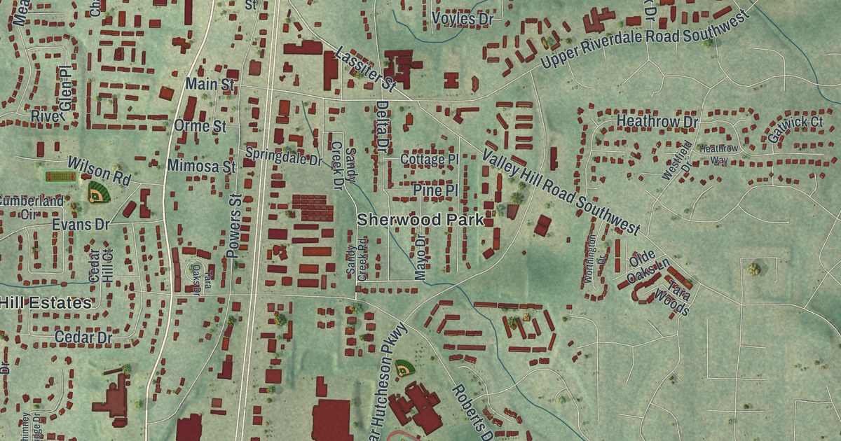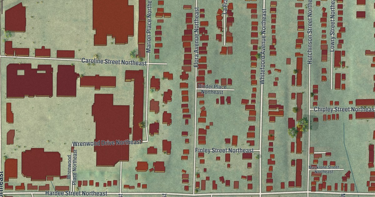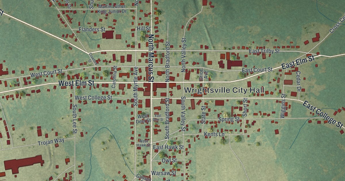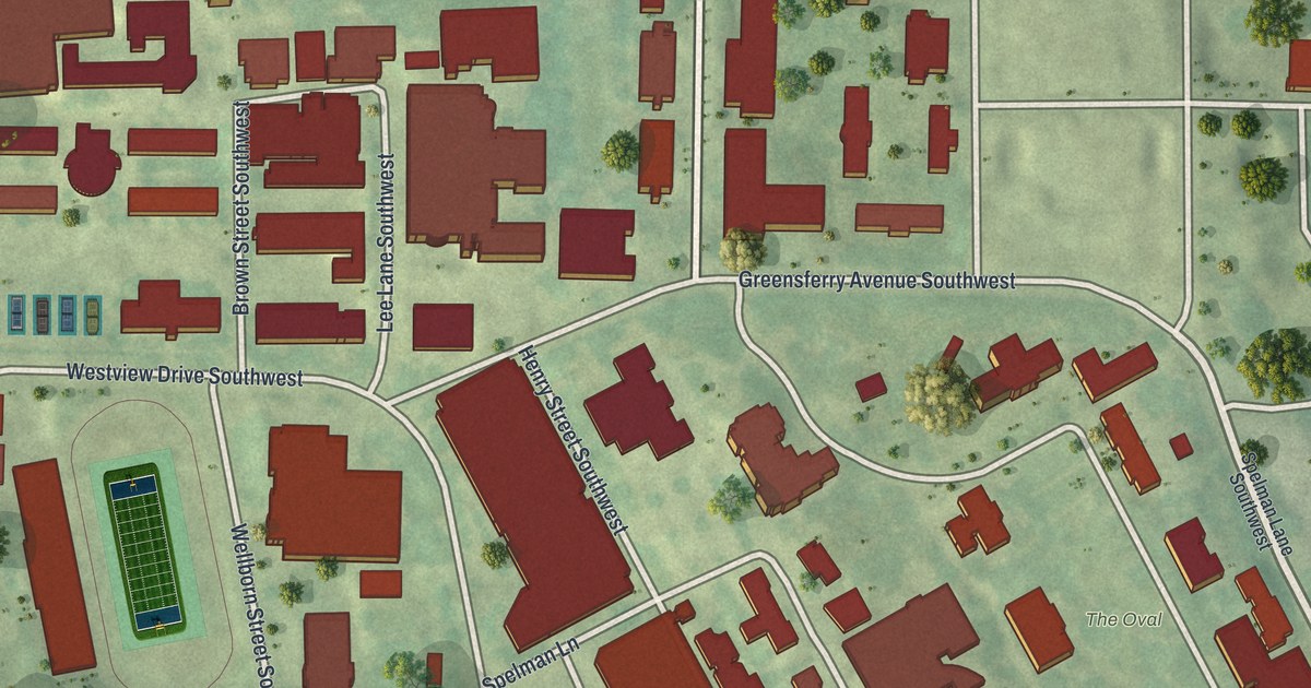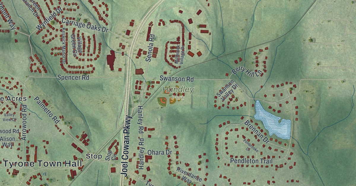
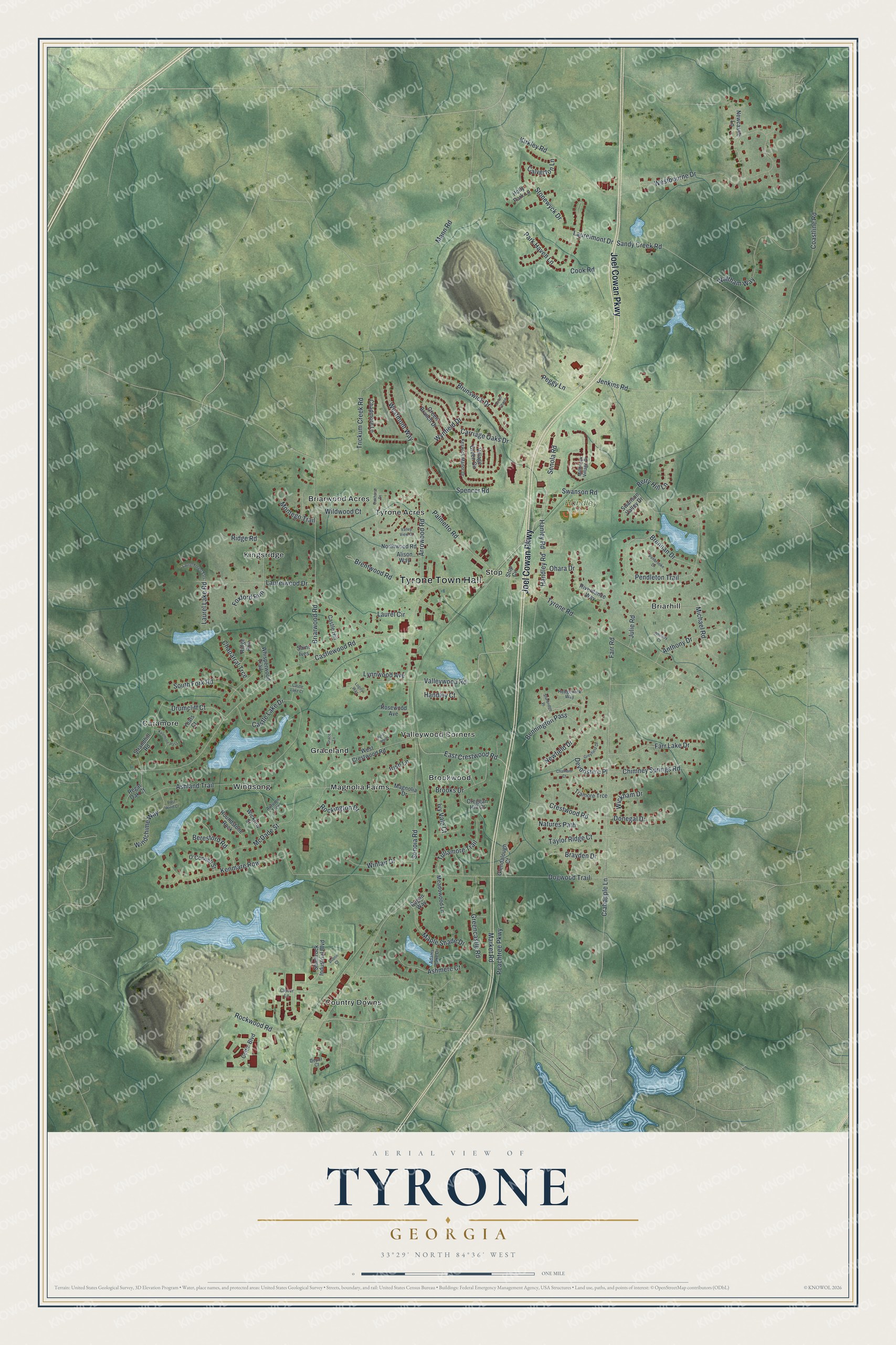
This beautifully detailed map of Tyrone, Georgia was created in 2026 using aerial imagery combined with modern topographical, census, street and landmark data. It’s a one-of-a-kind view of Tyrone that combines accurate data with a vintage aesthetic. The map shows every building in its true location, many of the roads carry their names, and the shaded topographic relief shows the shape of the land.
Explore an aerial view of Tyrone, Georgia
On the map you’ll find Tyrone Town Hall, Briarhill, Briarwood Acres, Brookwood, Caramore, Country Downs, and Handley Park, along with Joel Cowan Parkway, Senola Road, Hanley Road, Crabapple Lane, and more. If you look closely you can even find your house accurately drawn in its correct location. Zoom in on the preview to look for yours.
Did You Know?
Scottish and Irish immigrants settled this former Creek land in the late 1800s. The country reminded them of County Tyrone in Northern Ireland. The Birmingham and Atlantic Railroad first called the place Tyrone when it laid track in 1907. Four years later, in 1911, the town was incorporated. That’s from the Town of Tyrone.
Take a closer look at the Tyrone map
Names on this map
These names are printed on this map.
Places: Tyrone Town Hall, Handley Park, Briarhill, Briarwood Acres, Brookwood, Caramore, Country Downs, Graceland, Kingsridge, Magnolia Farms, Stop, Tyrone Acres, Valleywood Corners and Windsong.
Streets and roads: Joel Cowan Parkway, Senola Road, Hanley Road, Valleywood Road, Crabapple Lane, Market Road, Senoia Road, Dogwood Trail, Castlewood Road, Westbourne Drive, Farr Road, Tyrone Road.
More street names, A to Z
Adams Lake Drive, Alison Way, Anthony Drive, Arrowood Road, Ashland Trail, Ashmere Court, Autumn Trce, Bennington Pass, Beresford Road, Berry Hill Lane, Brayden Drive, Brennan Drive, Brentwood Road, Briarwood Road, Brooks Drive, Brunswick Drive, Calverton Lane, Carriage Oaks Drive, Castle Hill, Castle Lake Court, Castle Lake Drive, Celtic Boulevard, Chadmore Lane, Chaparral Trce, Chatham Court, Chimney Springs Road, Clover Lane, Coastline Road, Cook Road, Creggan Hill Court, Crestwood Road, Depot Court, Devonshire Place, Donegal Drive, Dover Chase, Drumcliff Court, Dublin Court, East Crestwood Road, East Wind Court, Farr Lake Drive, Foxford Run, Glendalough Court, Grace Lane, Green Branch Drive, Greencastle Road, Greyfield Drive, Handley Court, Handley Road, Hedgewick Way, Holly Park Lane, Irish Lane, Ivy Vale Court, Jenkins Road, Julie Road, Kenmare Row, Keswick Manor Drive, Kirkley Road, Kylemore Pass, Laurel Circle, Laurel Forest Ests, Laurel Lake Road, Laurelmont Drive, Laurelwood Drive, Logos Way, Lynnwood Avenue, Magnolia Drive, Mann Road, Maple Shade Drive, McDade Street, Meadowood Lane, Michael Road, Millbrook Village Drive, Montego Trail, Natures Path, Newcastle Lane, Newfield Drive, Northwood Road, O'Connell Street, Oakhurst Drive, Ohara Drive, Palmetto Road, Park Haven Lane, Peachtree Parkway, Peggy Lane, Penbrooke Drive, Pendleton Trail, Pyron Point, Regal Oak Court, Regan Way, Ridge Road, Ridge Run, Riverdance Way, Rockington Drive, Rockwood Road, Rosewood Avenue, Roundstone Rock, Saint Ives, Sandy Creek Road, Shamrock Industrial Boulevard, South Fork Road, Spencer Road, Stonewyck Drive, Stop Circle, Strandhill Road, Sturbridge Place, Swanson Road, Swanson Valley Drive, Taylor Ridge Court, Tramore Trce, Trickum Creek Road, Tullamore Trail, Valley View Court, Village Green Circle, Waltham Way, West Crestwood Road, Westmont Way, Whisperwood Trail, Whitney Court, Wickham Drive, Wicklow Street, Wildwood Court, Windchime Way, Winfair Drive, Wynfield Drive, Yeats Court.
See it on a wall
The Tyrone map as a framed print. Swipe for more.


This beautifully detailed map of Tyrone makes an attractive addition to your office, library, or den, and it can even be used to teach children the geography and history of the area. It also makes a great gift for anyone who grew up in Tyrone or moved away. When you’re done exploring, click here to get your copy of the Tyrone map.