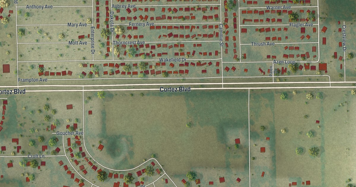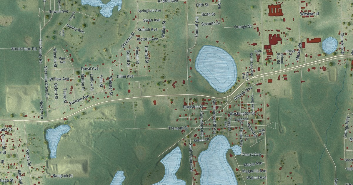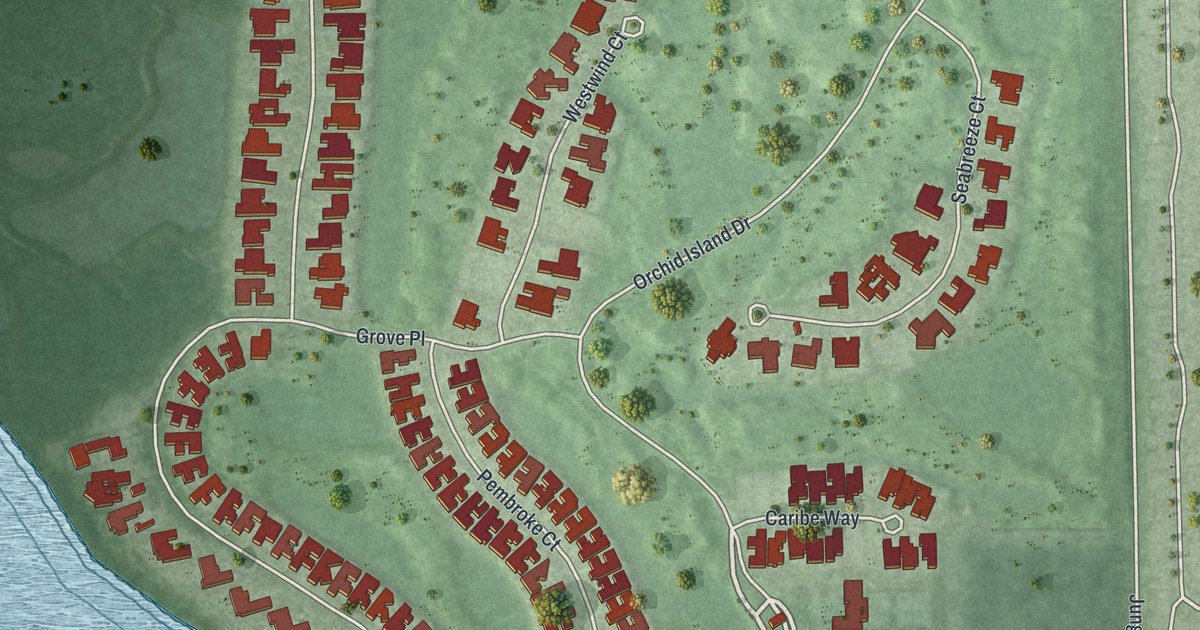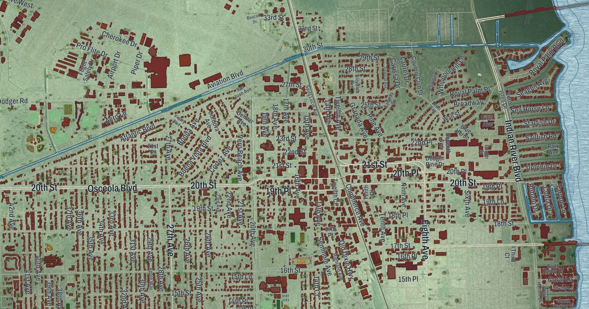
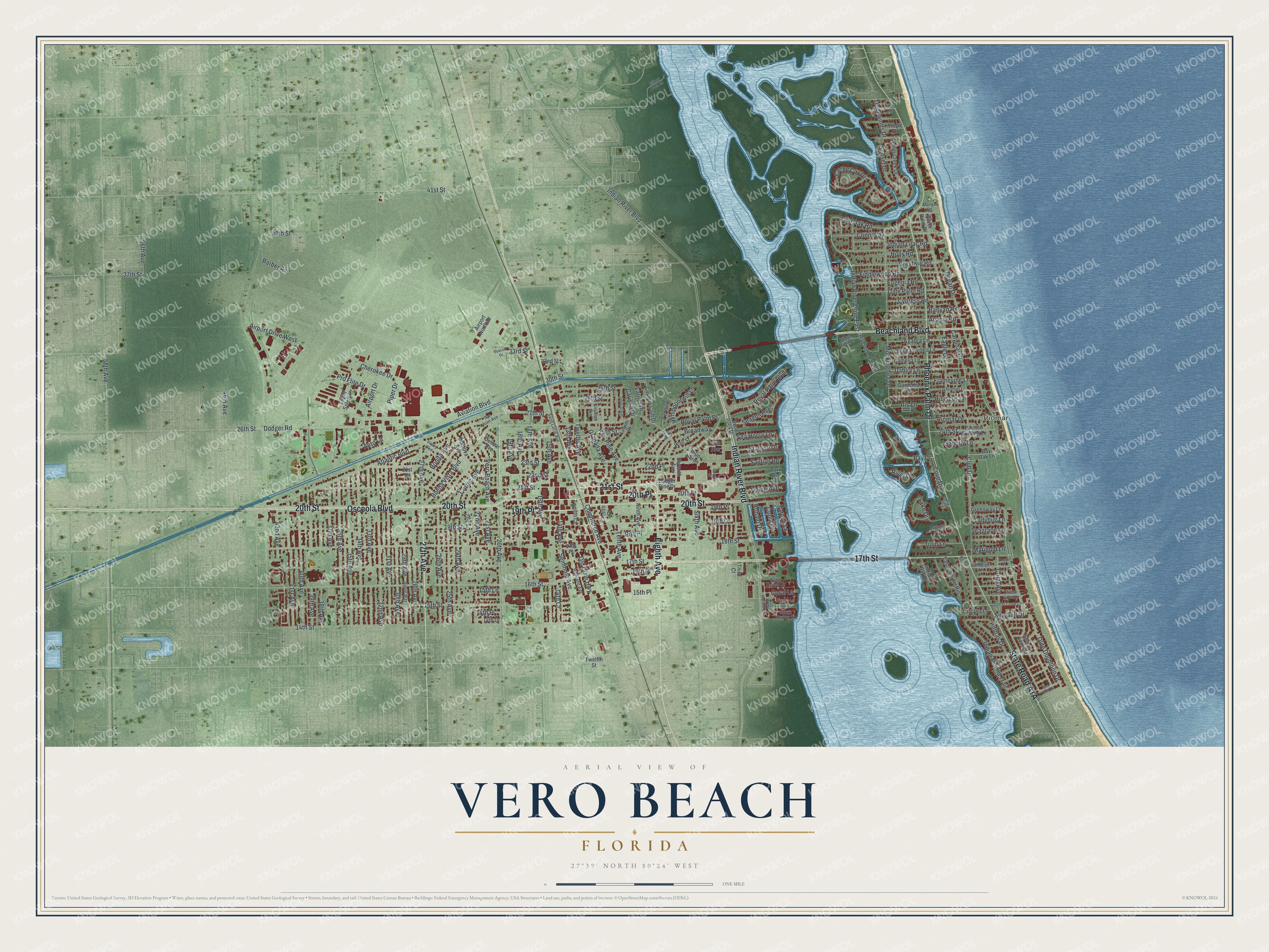
This beautifully detailed map of Vero Beach, Florida was created in 2026 using aerial imagery combined with modern topographical, census, street and landmark data. It’s a one-of-a-kind view of Vero Beach that combines accurate data with a vintage aesthetic. The map shows every building in its true location, many of the roads carry their names, and the shaded topographic relief shows the shape of the land.
Explore an aerial view of Vero Beach, Florida
On the map you’ll find Riomar and 20th Place, along with 21st Street, Eighth Avenue, Indian River Boulevard, 20th Street, 17th Street, State Road A1A, Beachland Boulevard, Phoenix Palm Drive, Osceola Boulevard, 27th Avenue, and more. If you look closely you can even find your house accurately drawn in its correct location. Zoom in on the preview to look for yours.
Did You Know?
In 1715, a hurricane struck a Spanish treasure fleet off the coast of Vero. Eleven of its twelve ships sank with tons of silver aboard. The lost treasure drew pirates, and coins from the wrecks still wash ashore today.
Take a closer look at the Vero Beach map
Names on this map
These names are printed on this map.
Places: Riomar.
Streets and roads: 20th Place, 21st Street, Eighth Avenue, Indian River Boulevard, 20th Street, 17th Street, Beachland Boulevard, Phoenix Palm Drive, Osceola Boulevard, 27th Avenue, 19th Place, Aviation Boulevard.
More street names, A to Z
13th Avenue, 14th Avenue, 14th Court, 14th Drive, 14th Place, 14th Street, 15th Avenue, 15th Lane, 15th Place, 15th Street, 16th Avenue, 16th Place, 16th Street, 17th Avenue, 17th Place, 18th Avenue, 18th Place, 18th Street, 19th Avenue, 19th Lane, 19th Street, 20th Avenue, 21st Avenue, 21st Place, 22nd Avenue, 22nd Place, 22nd Street, 23rd Avenue, 23rd Street, 24th Avenue, 24th Street, 25th Avenue, 25th Street, 26th Avenue, 26th Street, 27th Street, 28th Avenue, 28th Street, 29th Avenue, 29th Street, 30th Avenue, 30th Street, 31st Avenue, 32nd Avenue, 32nd Street, 33rd Avenue, 33rd Street, 34th Avenue, 35th Avenue, 36th Avenue, 37th Avenue, 37th Street, 38th Avenue, 39th Avenue, 40th Avenue, 40th Street, 41st Avenue, 41st Street, 42nd Avenue, 46th Avenue, 56th Avenue, 58th Avenue, Acacia Road, Aero Lane, Airport Drive, Airport Drive West, Airport North Drive, Apple Way, Atlantic Boulevard, Azalea Lane, Banyan Road, Barber Avenue, Bay Drive, Bay Oak Lane, Beacon Drive, Bethel Creek Drive, Blue Heron, Bonita Avenue, Bougainvillea Lane, Bridge Plaza Drive, Broadway, Buena Vista Boulevard, Cache Cay Drive, Camelia Lane, Cardinal Drive, Carissa Drive, Center Street, Cherokee Drive, Club Drive, Cobia Drive, Commerce Avenue, Conn Way, Coral Avenue, Coral Lane, Cordova Avenue, Cortez Avenue, Country Club Drive, Cove Drive, Cypress Road, Dahlia Lane, Date Palm Road, Delmar Avenue, Dodger Pine Drive, Dodger Road, Dolphin Drive, Eagle Drive, East Cam del Rio, Egret Point, Eleventh Avenue, Eugenia Road, Fairway Drive, Fiddlewood Road, Fifth Avenue, Flamevine Lane, Flight Safety Drive, Gardenia Lane, Gayfeather Lane, Gifford Dock Road, Granada Avenue, Greenway Lane, Greytwig Road, Hibiscus Lane, Highland Avenue, Holly Road, Indian Bay Drive, Indian Lilac Road, Indian Mound Trail, Indian River Drive East, Iris Lane, Ladybug Lane, Lagoon Road, Lake Drive, Lantana Lane, Laurel Drive, Leon Avenue, Live Oak Road, Mango Road, Marigold Lane, Mockingbird Drive, Ninth Avenue, North Harbor Drive, Ocean Drive, Ocean Place, Old Dixie Highway, Olde Doubloon Drive, Painted Bunting Lane, Paloma Drive, Park Avenue, Pine Avenue, Piper Drive, Pirate Cove Lane, Poitras Drive, Pro Flite Drive, Riomar Cv, Riomar Drive, River Drive, Riverside Park Drive, Robalo Drive, Royal Palm Boulevard, Royal Palm Place, Sailfish Road, Saint Lucie Avenue, Sandfly Lane, Sandpiper Lane, San Juan Avenue, Seagrape Lane, Seagull Avenue, Sea Gull Drive, Sea Horse Lane, Sea Hunt Drive, Seminole Avenue, Seventh Avenue, Silver Palm Drive, Silvery Lane, Sixth Avenue, South Harbor Drive, Spanish Lace Lane, Starfish Drive, Sunset Drive, Tarpon Lane, Tenth Avenue, Tenth Court, Third Court, Tides Road, Tradewinds Drive, Tropical Avenue, Tropic Drive, Tulip Lane, Turtle Cove Lane, Twelfth Avenue, Twelfth Court, Twelfth Street, Vero Beach Avenue, Vero Isles Drive, Victory Boulevard, Wall Street, West Harbor Drive, Whippoorwill Lane.
See it on a wall
The Vero Beach map as a framed print. Swipe for more.


This beautifully detailed map of Vero Beach makes an attractive addition to your office, library, or den, and it can even be used to teach children the geography and history of the area. It also makes a great gift for someone who left Vero Beach and still calls it home. When you’re done exploring, click here to get your copy of the Vero Beach map.