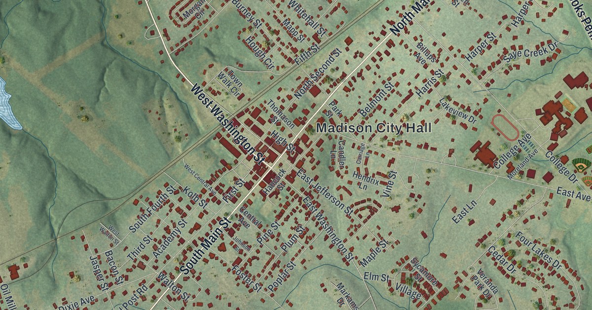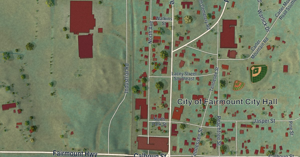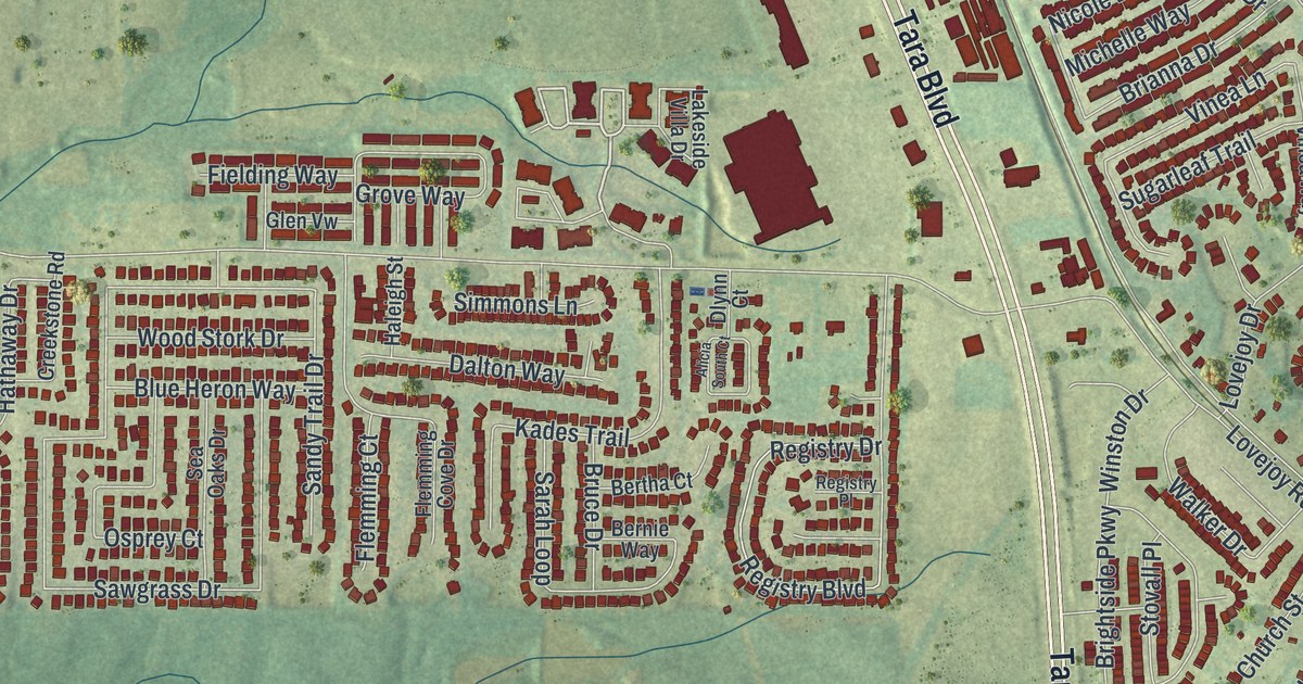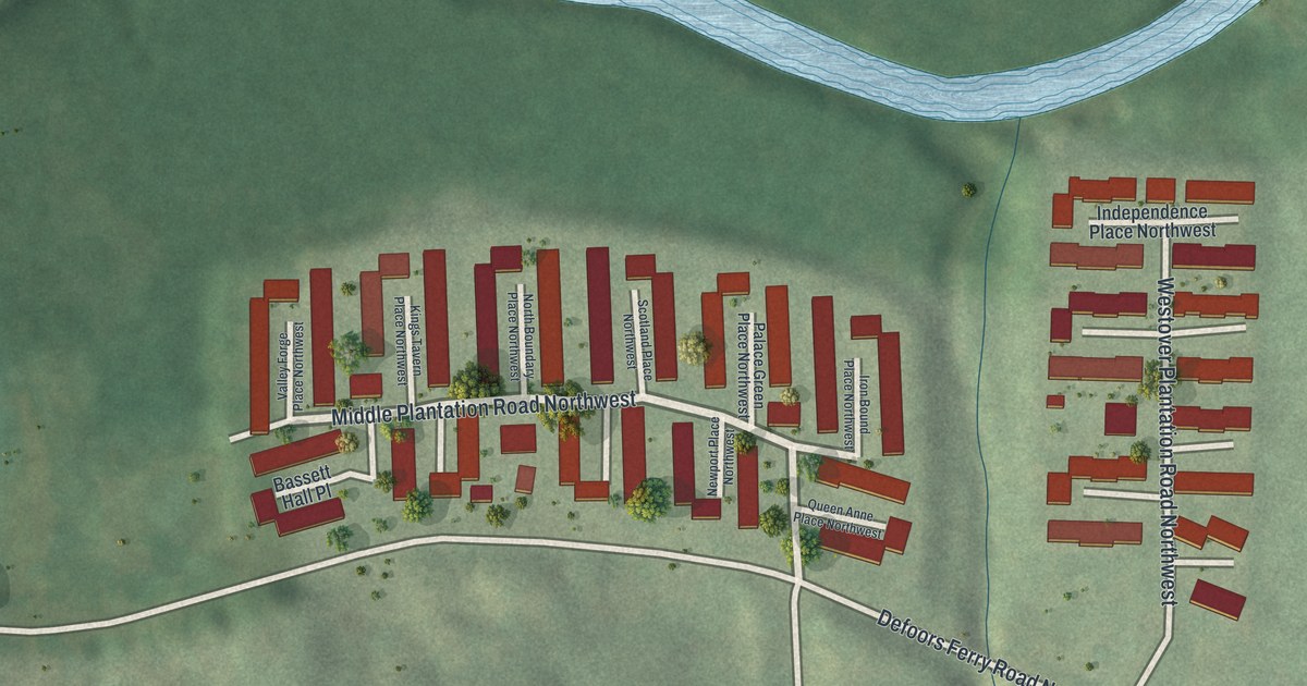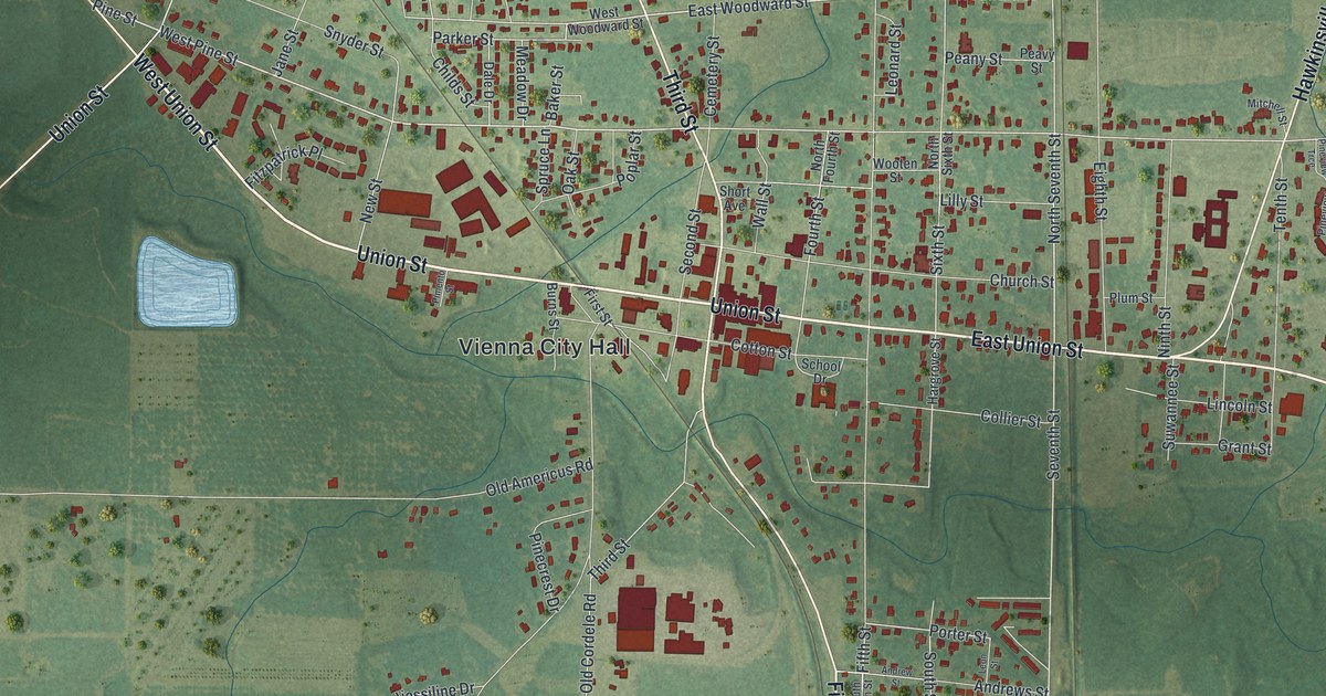
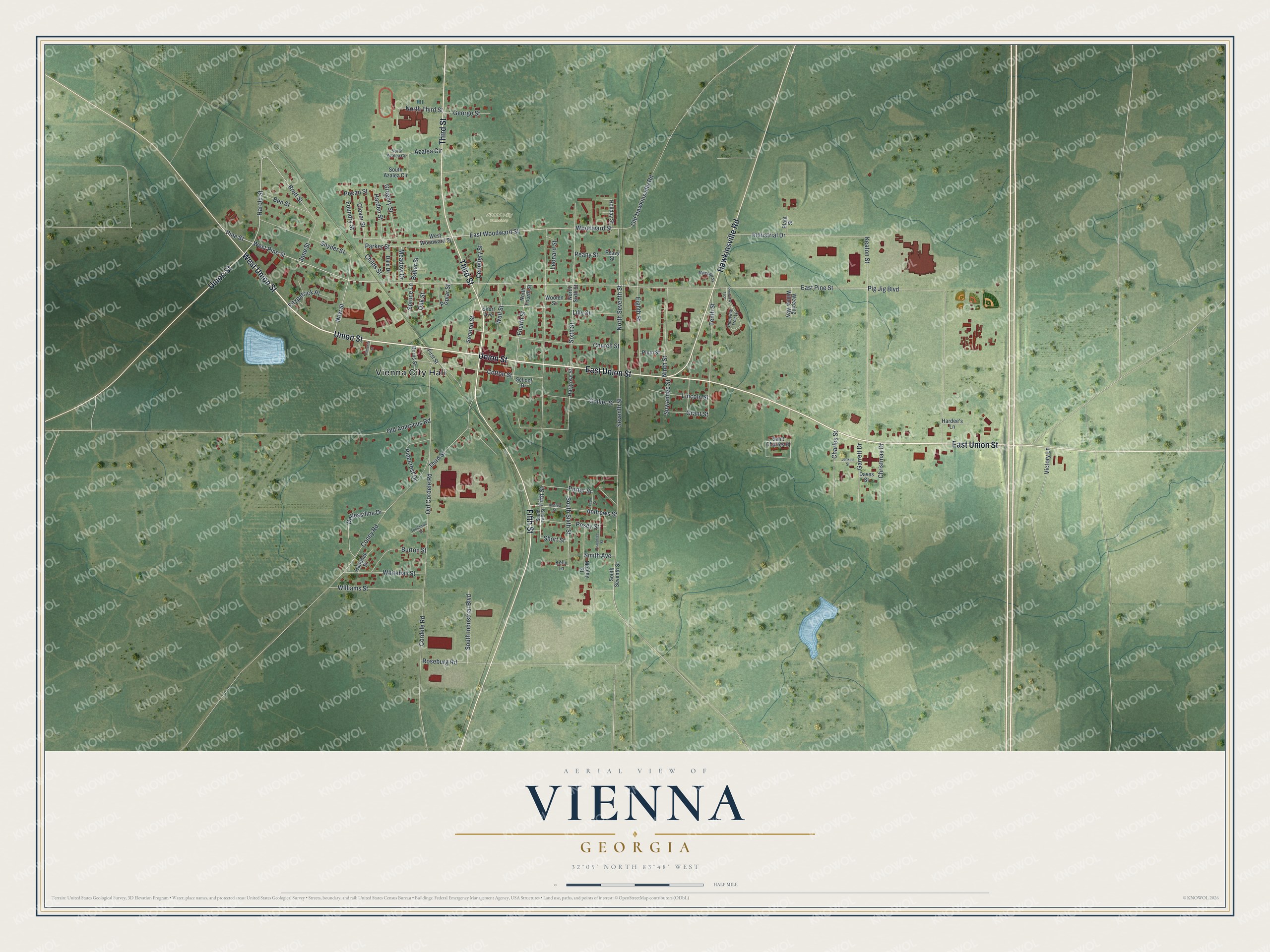
This beautifully detailed map of Vienna, Georgia was created in 2026 using aerial imagery combined with modern topographical, census, street and landmark data. It’s a one-of-a-kind view of Vienna that combines accurate data with a vintage aesthetic. The map shows every building in its true location, many of the roads carry their names, and the shaded topographic relief shows the shape of the land.
Explore an aerial view of Vienna, Georgia
On the map you’ll find Vienna City Hall and Vienna City Cemetery, along with Union Street, Third Street, Hawkinsville Road, Fifth Street, and more. If you look closely you can even find your house accurately drawn in its correct location. Zoom in on the preview to look for yours.
Did You Know?
Vienna is the seat of Dooly County, and people here say its name as Vy-enna. The town was first called Berrien. It has carried the name Vienna since 1841. That’s from the 1940 WPA guide to Georgia.
Take a closer look at the Vienna map
Names on this map
These names are printed on this map.
Places: Vienna City Hall and Vienna City Cemetery.
Streets and roads: West Union Street, Union Street, East Union Street, Third Street, Hawkinsville Road, Fifth Street, West Pine Street, Woodward Street, East Woodward Street, Harold Street, Pine Street, Parker Street.
More street names, A to Z
Andrews Street, Andrew Street, Azalea Circle, Baker Street, Ben Street, Brett Street, Burns Street, Burton Street, Cemetery Street, Charles Street, Childs Street, Christmas Drive, Church Street, Clover Street, Collier Street, Coney Road, Cordele Road, Cotton Street, Dale Drive, Daves Street, Deliessiline Drive, East Pine Street, Eighth Street, First Street, Fitzpatrick Place, Foundry Street, Fourth Street, Garrett Drive, George Street, Grant Street, Gregory Street, Haddock Street, Hardee's Lane, Harden Street, Hargrove Street, Holiday Street, Industrial Drive, Jane Street, Jenkins Street, Keaton Street, Kelly Lane, Leonard Street, Leon Street, Lilly Street, Lincoln Street, Meadow Drive, Mitchell Street, Mobley Street, New Street, Ninth Street, North Azalea Circle, North Fourth Street, North Seventh Street, North Sixth Street, North Third Street, Oak Street, Old Americus Road, Old Cordele Road, Old Hawkinsville Road, Peachtree Street, Peany Street, Peavy Street, Pecan Street, Pig Jig Boulevard, Pimento Street, Pinecrest Drive, Pineview Trce, Pineview Trce Lp, Plant Street, Plum Street, Poplar Street, Porter Street, Posey Street, Roseburg Road, Saint Charles Place, School Drive, Second Street, Seventh Street, Short Avenue, Short Street, Sixth Street, Smith Avenue, Snyder Street, South Azalea Circle, South Fifth Street, South Industrial Boulevard, South Seventh Street, South Sixth Street, Spruce Lane, Suwannee Street, Tenth Street, Tomlinson Street, Victory Lane, Wall Street, Weeping Willow Way, West Woodward Street, Whitehall Street, Williams Street, Wooten Street.
See it on a wall
The Vienna map as a framed print. Swipe for more.


This beautifully detailed map of Vienna makes an attractive addition to your office, library, or den, and it can even be used to teach children the geography and history of the area. It also makes a great gift for anyone with Vienna roots. When you’re done exploring, click here to get your copy of the Vienna map.