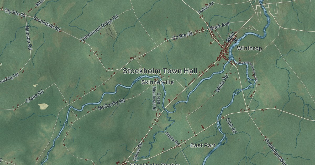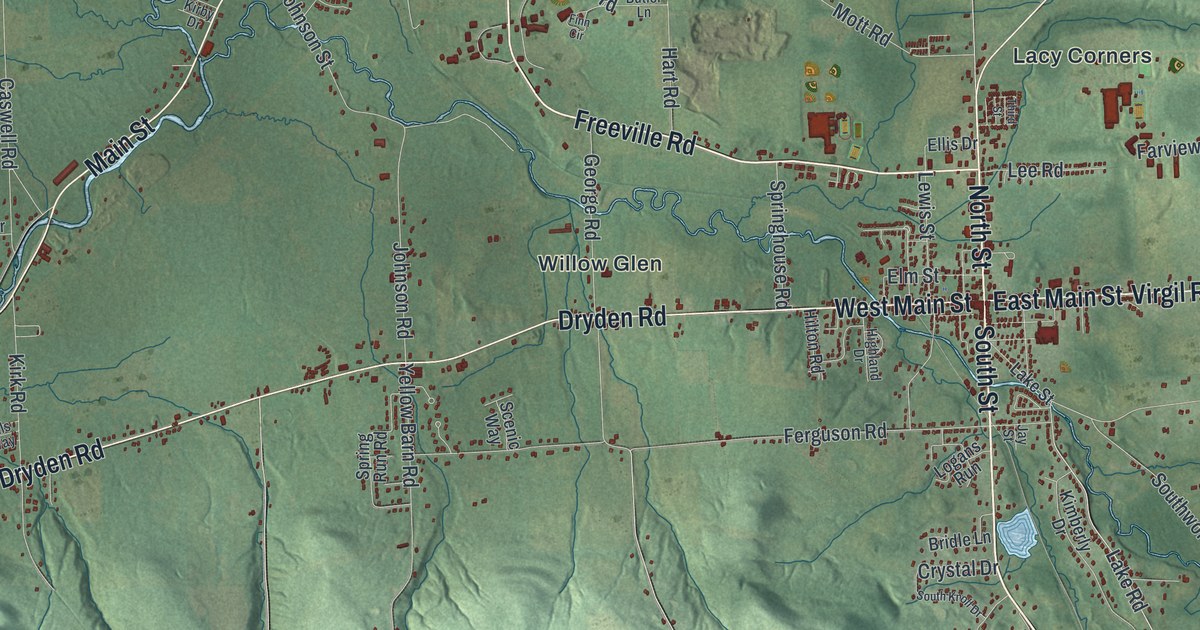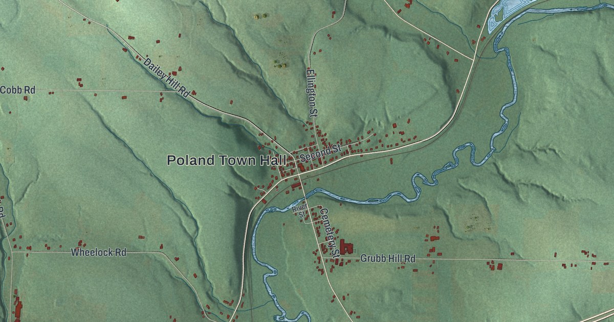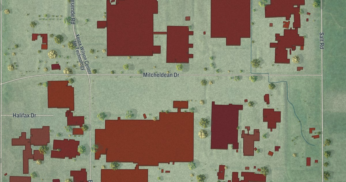
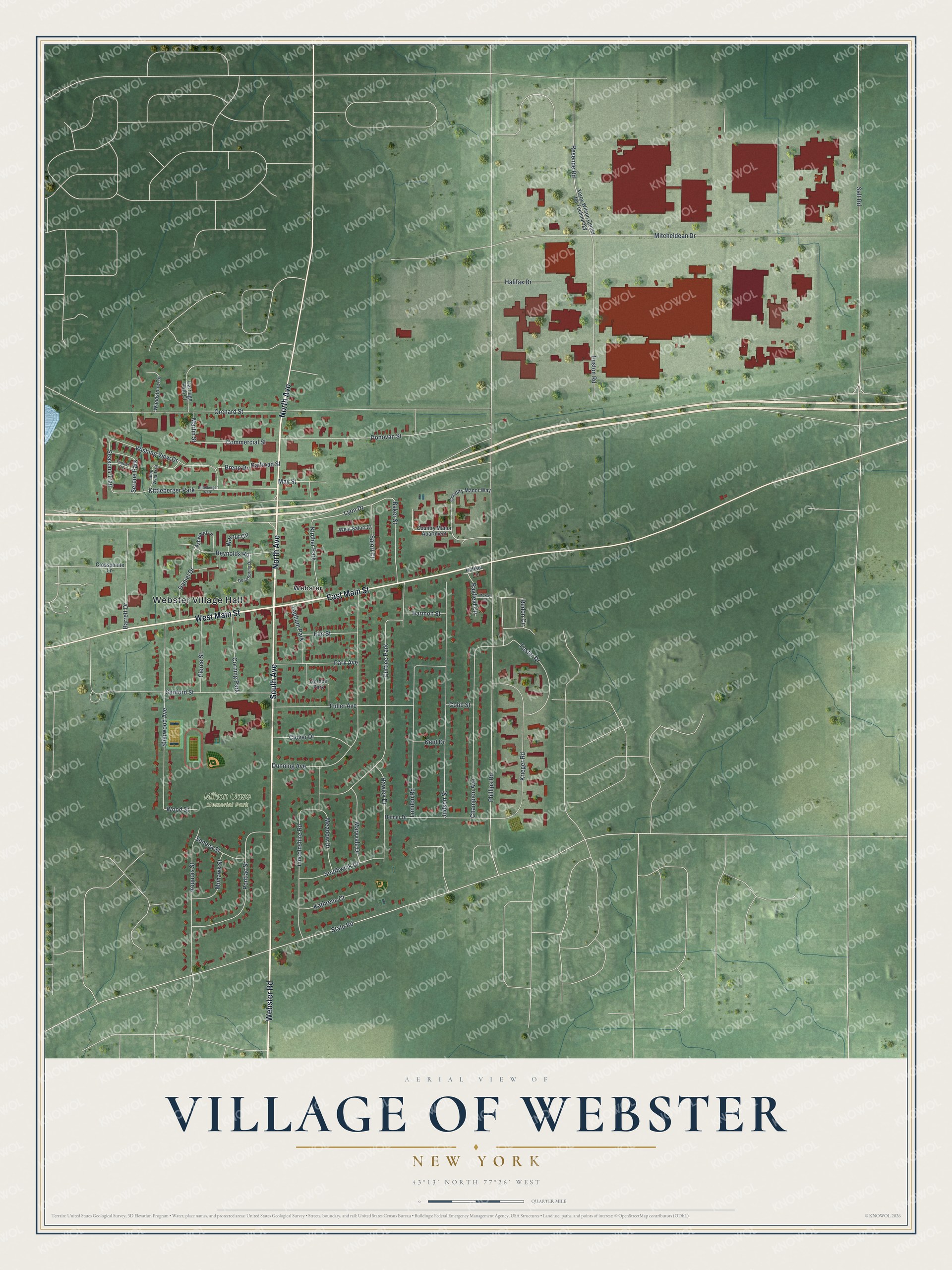
This beautifully detailed map of the Village of Webster, New York was created in 2026 using aerial imagery combined with modern topographical, census, street and landmark data. It’s a one-of-a-kind view of the Village of Webster that combines accurate data with a vintage aesthetic. The map shows every building in its true location, many of the roads carry their names, and the shaded topographic relief shows the shape of the land.
Explore an aerial view of the Village of Webster, New York
On the map you’ll find Webster Village Hall and Milton Case Memorial Park, along with South Avenue, North Avenue, Webster Road, Main Street, and more. If you look closely you can even find your house accurately drawn in its correct location. Zoom in on the preview to look for yours.
Did You Know?
The village takes its name from the orator and statesman Daniel Webster. Its business center began in 1812 with two buildings, a store and a tavern. Webster later had the world’s largest basket factory. It also shipped the area’s dried apples until well after World War I.
Take a closer look at the Village of Webster map
Names on this map
These names are printed on this map.
Places: Webster Village Hall, Milton Case Memorial Park, Webster, Curtice Park, Kittleberger Park, Kircher Park, Corning Park, Lapham Park, Serene Park, Gordon Park and Kittelberger Park.
Streets and roads: South Avenue, North Avenue, Webster Road, West Main Street, East Main Street, Daniel Drive, Lyon Drive, Redon Circle, Phillips Road, Orchard Street, Mitcheldean Drive, Salt Road.
More street names, A to Z
Ashwood Lane, Baker Street, Barrett Drive, Blue Vista Trail, Breno Drive, Carriage Path Court, Champion Avenue, Clover Drive, Cobb Street, Commercial Street, Country Manor Apartment, Country Manor Way, Crosspointe Lane, Dean Spring Drive, Donovan Street, Dunning Avenue, Elm Street, Euston Road, Foster Drive, Fuller Avenue, Halifax Drive, Harmon Street, Hawley Drive, Hefner Drive, Hilfiker Lane, Iroquois Street, Judson Street, Kathrene Court, Kent Drive, Krieger Road, Lincolnshire Road, London Road, Martin Street, Maryvale Drive, May Street, McKay Drive, Meadow Drive, Mohawk Street, Park Avenue, Pierce Street, Pontiac Street, Railroad Street, Rayfield Circle, Resende Road, Reynolds Road, Salori Court, Sanford Street, Seasons Trail, Seneca Street, Sherwood Avenue, Southwick Drive, State Road, Timber Cv, Walnut Circle, West Salori Court, Wishing View Drive, Woodstone Circle, Wood Street, Xerox Wilson Center for Technology.
See it on a wall
The Webster map as a framed print. Swipe for more.


This beautifully detailed map of the Village of Webster makes an attractive addition to your office, library, or den, and it can even be used to teach children the geography and history of the area. It also makes a great gift for anyone who grew up in the Village of Webster or moved away. When you’re done exploring, click here to get your copy of the Village of Webster map.