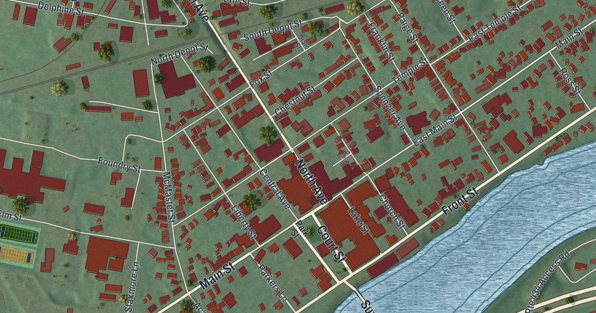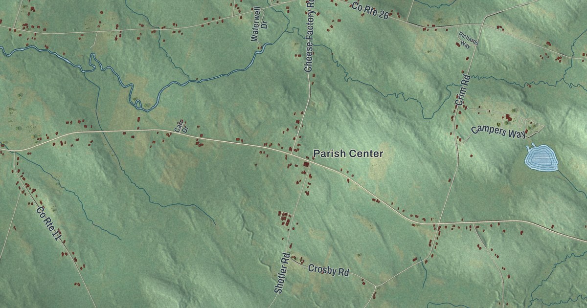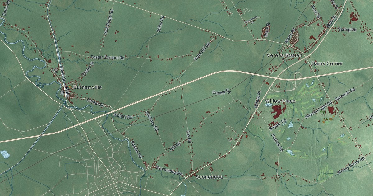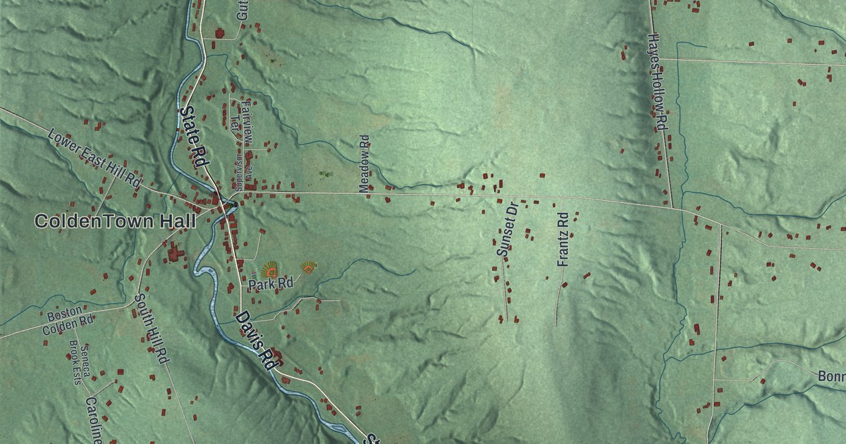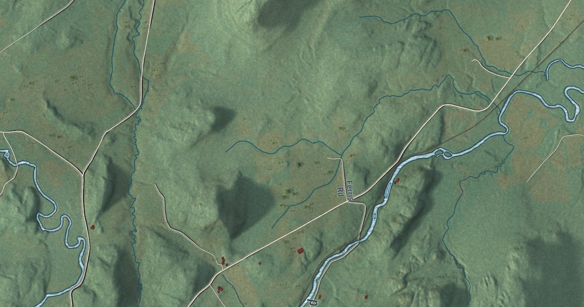
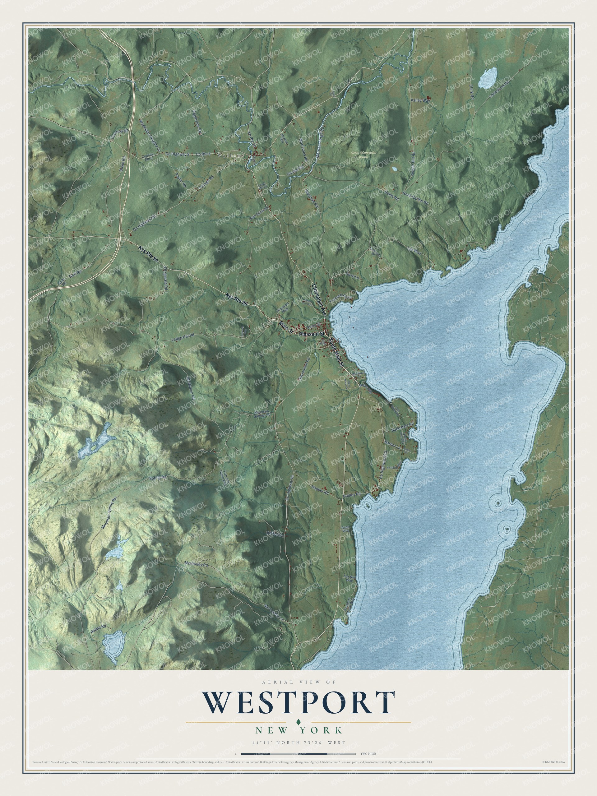
This beautifully detailed map of Westport, New York was created in 2026 using aerial imagery combined with modern topographical, census, street and landmark data. It’s a one-of-a-kind view of Westport that combines accurate data with a vintage aesthetic. The map shows every building in its true location, many of the roads carry their names, and the shaded topographic relief shows the shape of the land.
Explore an aerial view of Westport, New York
On the map you’ll find Wadhams, Coon Mountain Preserve, and Split Rock Mountain Wild Forest, along with Champlain Avenue, Main Street, Pleasant Street, Wadhams Heights Lane, Stevenson Road, and more. If you look closely you can even find your house accurately drawn in its correct location. Zoom in on the preview to look for yours.
Did You Know?
William Gilliland founded the town in 1764 on a grant of 2,300 acres. He first called his patent Bessboro after his little daughter. That first settlement was wiped out during the Revolution, when British General John Burgoyne marched south from Canada to Saratoga. Permanent settlers arrived in 1785.
Take a closer look at the Westport map
Names on this map
These names are printed on this map.
Places: Wadhams and Coon Mountain Preserve.
Streets and roads: Champlain Avenue, South Main Street, Pleasant Street, Main Street, County Route 8, Wadhams Heights Lane, Stevenson Road, Ledge Hill Road, Merriam Forge Road, County Highway 8, Mc Conley Lane, Barber Lane.
More street names, A to Z
Angier Hill Road, Barber Road, Barksdale Road, Boyle Road, Cedar Mill Lane, Church Street, Clark Road, Cold Spring Way, Coonrod Road, Country Route 8, County Highway 44, County Highway 59, County Route 10, Cove Lane, Decker Road, Delaney Lane, Dudley Road, Eggleston Road, Ferris Road, Fish and Game Way, Fitzgerald Road, Fox Run Way, Frisbie Way, Front Street, Furnace Point, Goff Road, Goffs Road, Halds Road, Headlands Road, Home Port Way, Knotty Pine Way, Lakeshore Road, Lee Way, Maple Way, McConley Road, McMahon Road, Meadow Way, Morrisons Road, Mountain Spring Road, Mountain Springs Road, Napper Road, Overlook Way, Pheasant Way, Presbury Point Way, Riddle Road, Rock Harbor Road, Ryan Way, Sam Spear Road, Sherman Road, Sisco Street, Spring Road, Stone House Circle, Taylor Road, Valley Way, Windward Circle, Youngs Road.
See it on a wall
The Westport map as a framed print. Swipe for more.


This beautifully detailed map of Westport makes an attractive addition to your office, library, or den, and it can even be used to teach children the geography and history of the area. It also makes a great gift for someone who left Westport and still calls it home. When you’re done exploring, click here to get your copy of the Westport map.