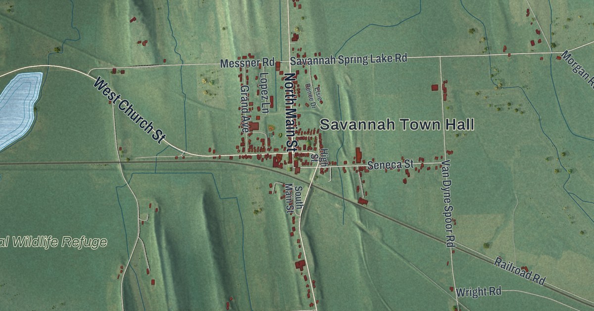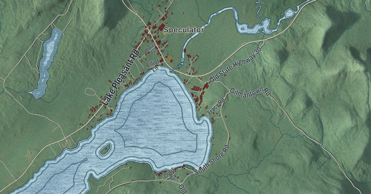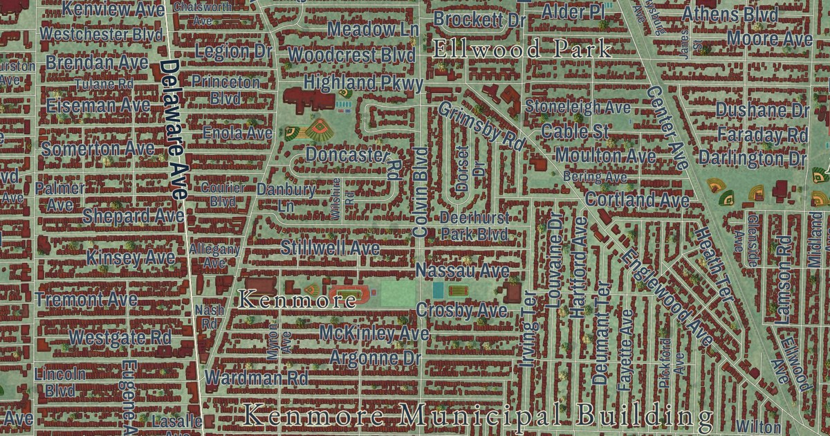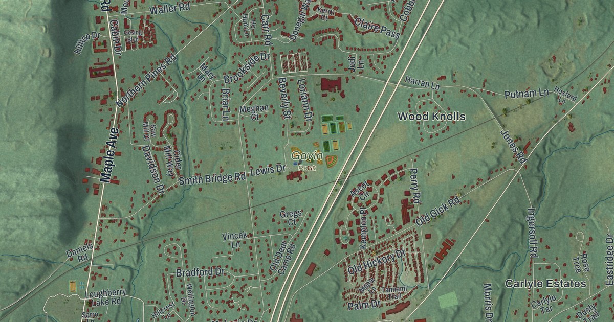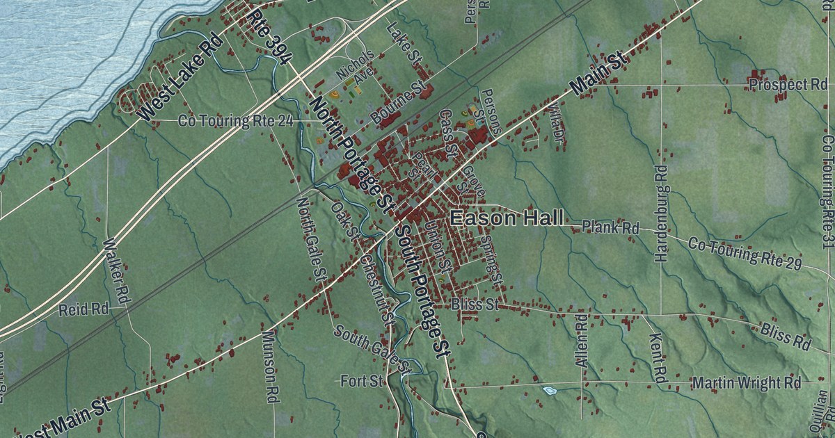
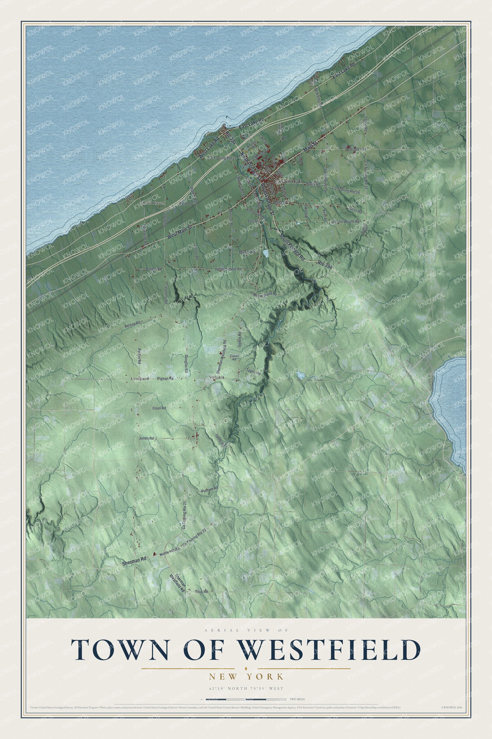
This beautifully detailed map of the Town of Westfield, New York was created in 2026 using aerial imagery combined with modern topographical, census, street and landmark data. It’s a one-of-a-kind view of the Town of Westfield that combines accurate data with a vintage aesthetic. The map shows every building in its true location, many of the roads carry their names, and the shaded topographic relief shows the shape of the land.
Explore an aerial view of the Town of Westfield, New York
On the map you’ll find Eason Hall, Shore Haven, Lombard, and Volusia, along with Main Street, Portage Street, Portage Road, Lake Road, and more. If you look closely you can even find your house accurately drawn in its correct location. Zoom in on the preview to look for yours.
Did You Know?
Dr. Thomas Branwell Welch and his son, Dr. Charles Edgar Welch, gave up dentistry for grape juice in 1893. Three years later they opened their first small factory in Westfield. The town became headquarters of the Welch Grape Juice Company. By 1940 it was the largest grape juice maker in the world. That’s from the 1940 WPA guide to New York.
Take a closer look at the Town of Westfield map
Names on this map
These names are printed on this map.
Places: Eason Hall, Shore Haven, Lombard and Volusia.
Streets and roads: West Main Street, South Portage Street, North Portage Street, South Portage Road, Main Street, Route 394, West Lake Road, East Lake Road, Sherman Road, Co Touring Route 21, Sherman Westfield Road, Chestnut Street.
More street names, A to Z
Allen Road, Barber Road, Belson Road, Bliss Road, Bliss Street, Bourne Street, Cass Street, Coon Road, Co Touring Route 22, Co Touring Route 24, Co Touring Route 29, Co Touring Route 31, Creamery Road, Culver Road, Douglas Road, East Avenue, Felton Road, Fort Street, Grove Street, Hardenburg Road, Hardscrabble Road, Jillson Road, Jones Road, Kent Road, Lake Street, Light Road, Lyons Road, Martin Wright Road, McKinley Road, Minton Road, Mount Baldy Road, Munson Road, Nettle Hill Road, Nichols Avenue, North Gale Street, Oak Street, Ogden Road, Parker Road, Pearl Street, Persons Road, Persons Street, Pigeon Road, Plank Road, Prospect Road, Putnam Road, Quillian Road, Reid Road, Rogerville Road, Shore Drive, South Gale Street, Spring Street, Taylor Road, Titus Road, Union Street, Villa Drive, Walker Road.
See it on a wall
The Westfield map as a framed print. Swipe for more.


This beautifully detailed map of the Town of Westfield makes an attractive addition to your office, library, or den, and it can even be used to teach children the geography and history of the area. It also makes a great gift for someone who left the Town of Westfield and still calls it home. When you’re done exploring, click here to get your copy of the Town of Westfield map.