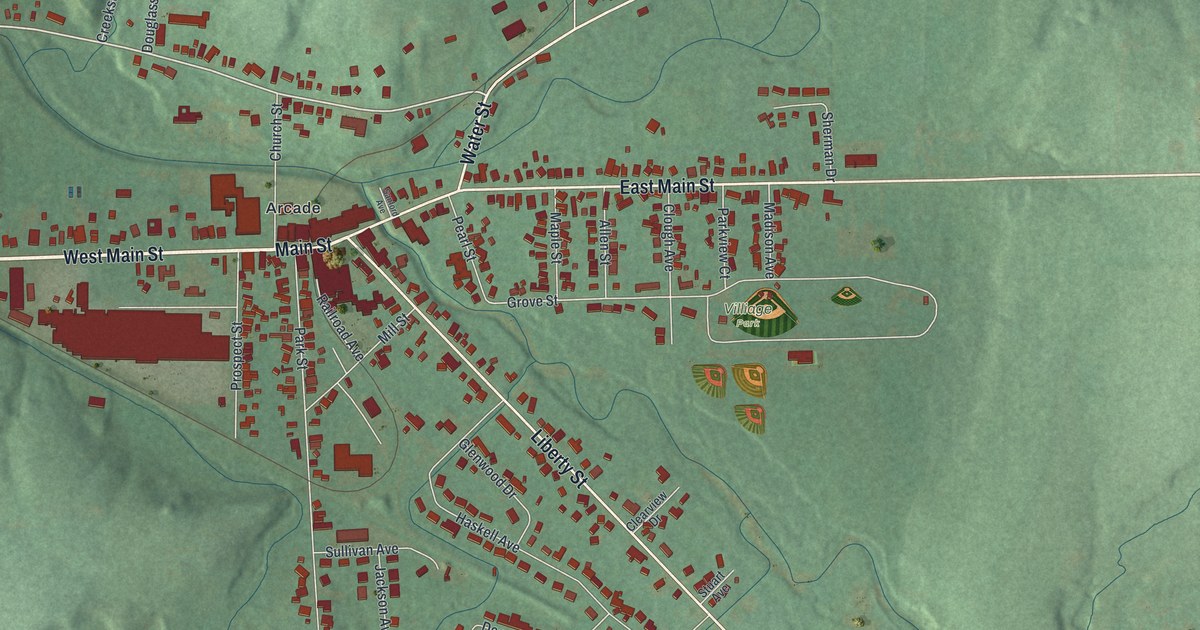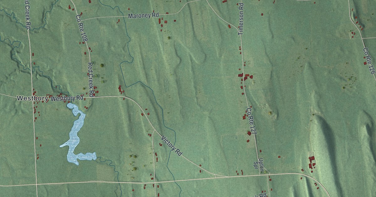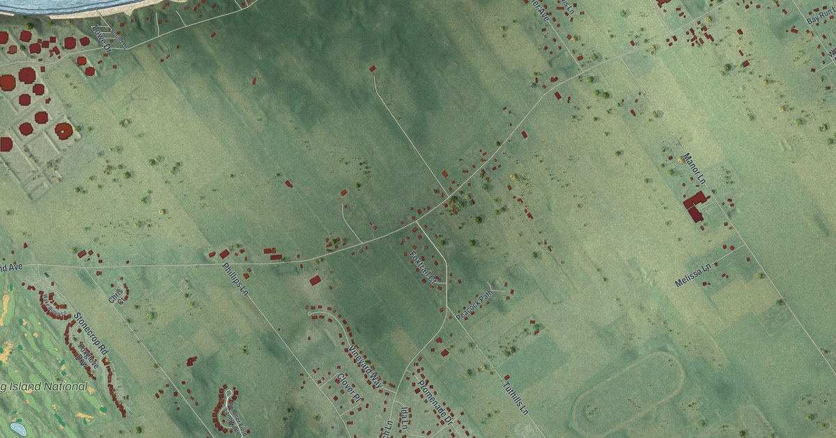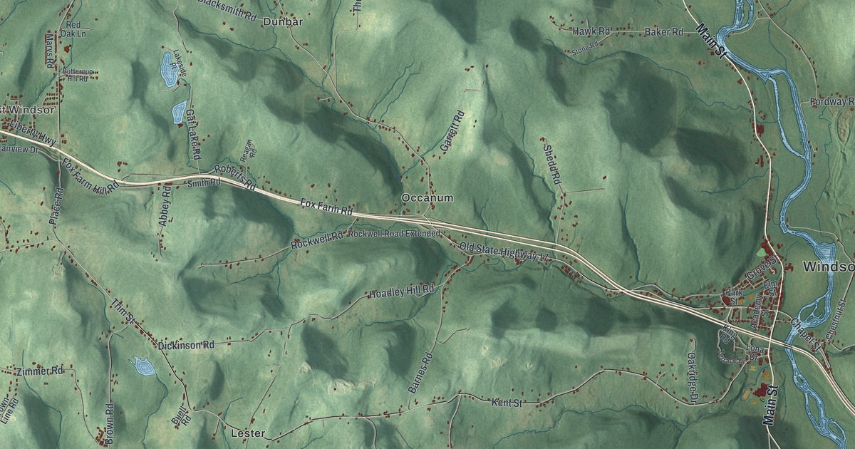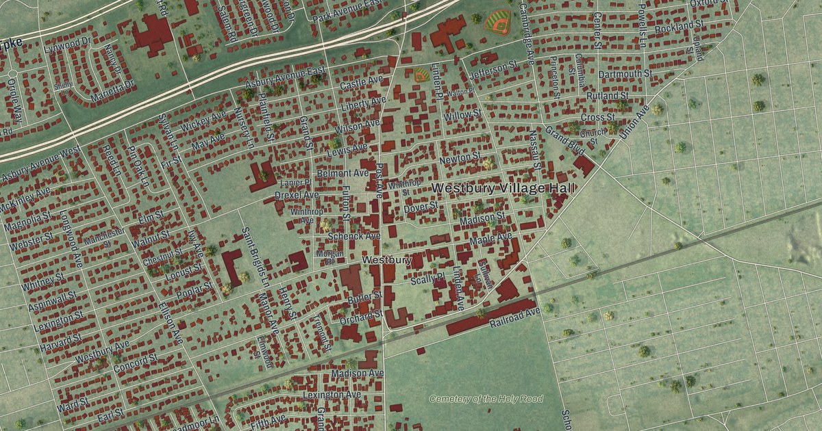
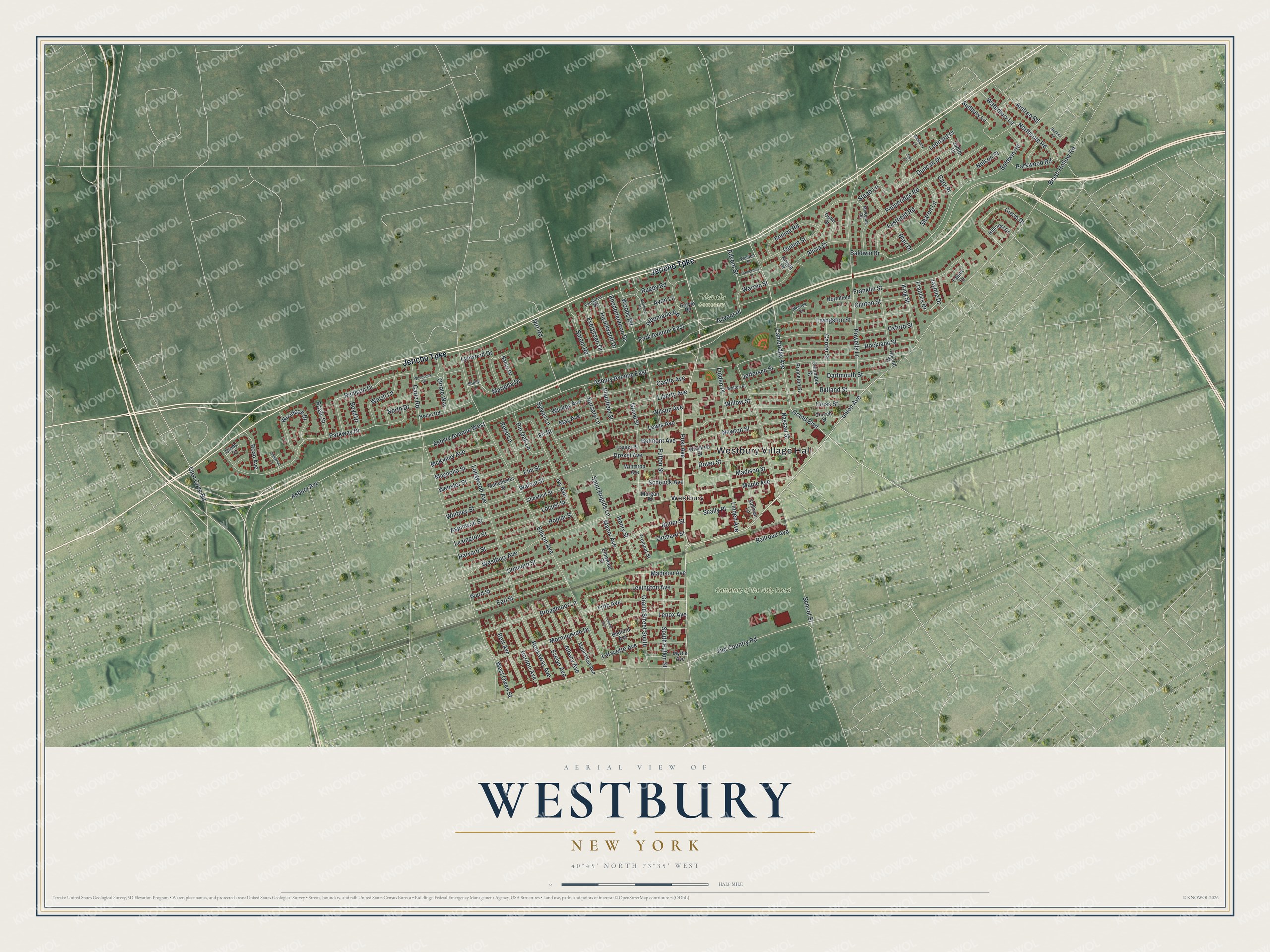
This beautifully detailed map of Westbury, New York was created in 2026 using aerial imagery combined with modern topographical, census, street and landmark data. It’s a one-of-a-kind view of Westbury that combines accurate data with a vintage aesthetic. The map shows every building in its true location, many of the roads carry their names, and the shaded topographic relief shows the shape of the land.
Explore an aerial view of Westbury, New York
On the map you’ll find Westbury Village Hall, Cemetery of the Holy Rood, and Friends Cemetery, along with Jericho Turnpike, Post Avenue, Union Avenue, Grand Boulevard, and more. If you look closely you can even find your house accurately drawn in its correct location. Zoom in on the preview to look for yours.
Did You Know?
In 1675 English Quaker Henry Willis gave the area its name. He chose Westbury after his hometown in Wiltshire, England. Other Quaker families seeking freedom of worship soon joined him. They built the first Friends meeting house in 1700.
Take a closer look at the Westbury map
Names on this map
These names are printed on this map.
Places: Westbury Village Hall, Cemetery of the Holy Rood, Friends Cemetery and Westbury.
Streets and roads: Jericho Turnpike, Post Avenue, Union Avenue, Grand Boulevard, Cambridge Avenue, Baldwin Road, Orchard Street, Parkway Drive, Asbury Avenue, Ellison Avenue, Carle Road, Old Country Road.
More street names, A to Z
Advent Place, Advent Street, Aintree Road, Albany Avenue, Albemarle Road, Alicia Drive, Argyle Road, Asbury Avenue East, Asbury Avenue West, Aspinwall Street, Avon Lane, Baldwin Drive, Bedford Avenue, Belmont Avenue, Benine Road, Bert Avenue, Blair Drive, Boyd Drive, Bright Street, Broadmoor Lane, Brush Hollow Road, Butler Street, Canterbury Street, Castle Avenue, Center Street, Central Avenue, Chestnut Street, Church Street, Cindy Court, Circle Drive, Clinton Street, Columbia Street, Concord Street, Cross Street, Dartmouth Street, Dirt Road, Dover Street, Drexel Avenue, Duke Street, Duncan Drive, Earl Street, Eastfield Road, Elm Street, Elmwood Court, Elmwood Street, Evelyn Avenue, Evergreen Drive, Evergreen Road, Fifth Avenue, Fir Street, Frances Drive, Franklin Street, Fulton Street, Gary Place, Glen Cove Road, Gordon Avenue, Grand Street, Grand Street South, Harvard Street, Hazelwood Drive, Henry Street, Hillcrest Drive, Ivy Avenue, Jane Court, Jaymie Drive, Jefferson Street, Judith Court, King Street, Knight Drive, Lafayette Avenue, Lanier Place, Lenox Avenue, Leonard Drive, Lewis Avenue, Lexington Avenue, Lexington Street, Liberty Avenue, Linden Avenue, Linden Place, Livingston Street, Locust Street, Longwood Avenue, Lynwood Drive, Madison Avenue, Madison Street, Magnolia Street, Manchester Street, Manhattan Avenue, Manor Avenue, Maple Avenue, Marietta Drive, Marlboro Road, May Avenue, McKenna Road, McKinley Avenue, Melrick Court, Morgan Place, Morningside Drive, Myrtle Avenue, Nancy Drive, Nassau Street, Nelson Place, Newton Street, Northcote Road, North Drive, Northfield Lane, Nursery Lane, Oriole Way, Oxford Street, Park Avenue East, Parkwood Road, Pepperidge Road, Pin Oak Lane, Plainfield Street, Poplar Street, Powells Lane, Princeton Street, Queen Street, Railroad Avenue, Reed Lane, Renison Drive, Rhododendron Drive, Robin Road, Rockaway Avenue, Rockland Street, Rodney Lane, Rose Avenue, Rugby Road, Rutland Street, Saint Brigids Lane, Salem Road, Scally Place, Schenck Avenue, School Street, Sharon Lane, Shelly Lane, South Fulton Street, Staab Lane, Sudbury Lane, Sullivan Lane, Sylvan Lane, Talbot Drive, Tremont Street, Upland Street, Walden Street, Walnut Street, Walsh Lane, Walton Place, Ward Street, Warren Street, Waterbury Lane, Webster Street, Westbury Avenue, Westbury Lane, West Owen Street, Whitney Street, Wickey Avenue, Willow Street, Wilson Avenue, Winthrop Avenue, Winthrop Street, Woodcock Road, Woodoak Drive, Woods Road.
See it on a wall
The Westbury map as a framed print. Swipe for more.


This beautifully detailed map of Westbury makes an attractive addition to your office, library, or den, and it can even be used to teach children the geography and history of the area. It also makes a great gift for someone who left Westbury and still calls it home. When you’re done exploring, click here to get your copy of the Westbury map.