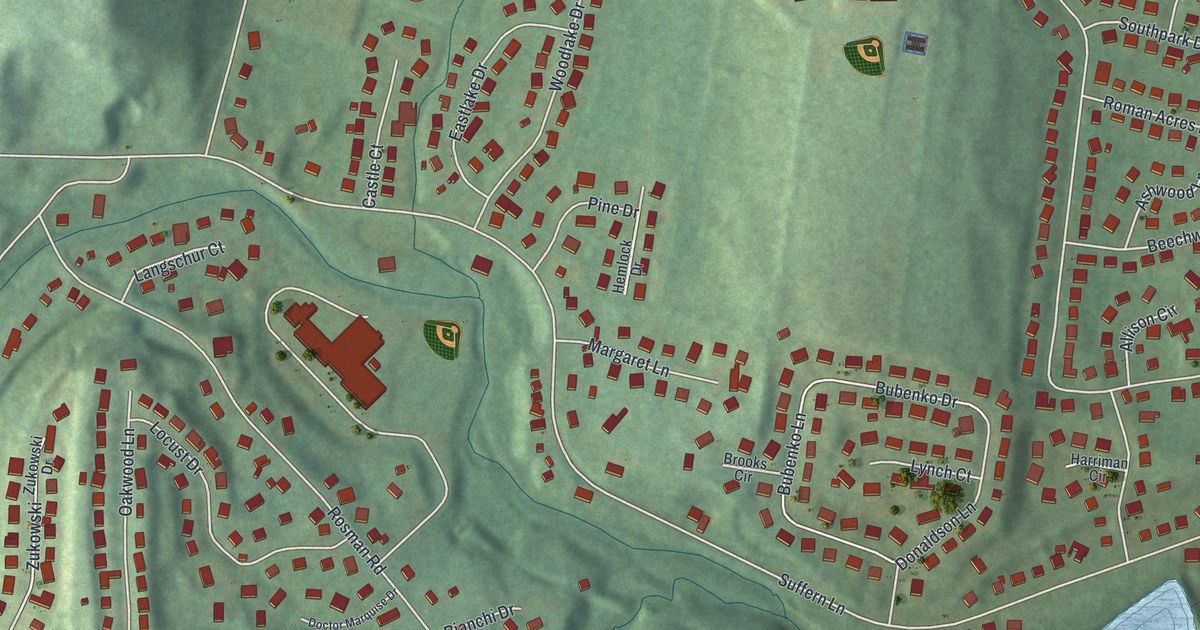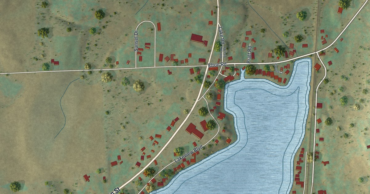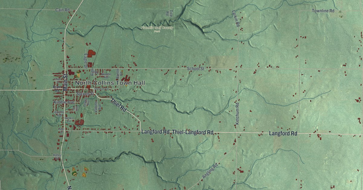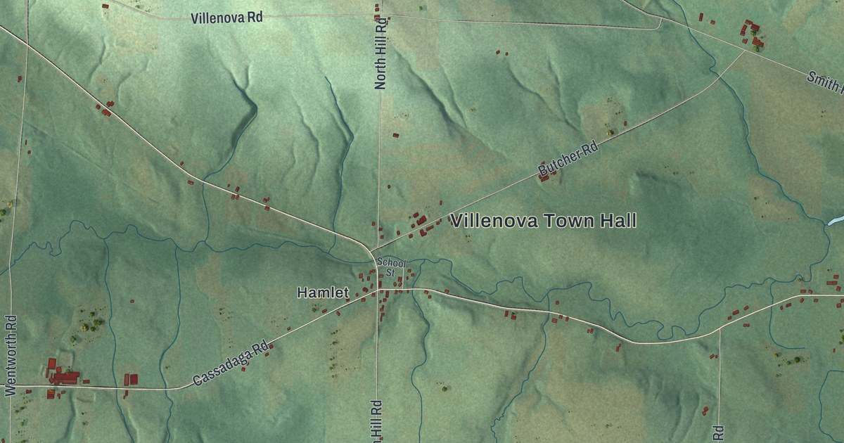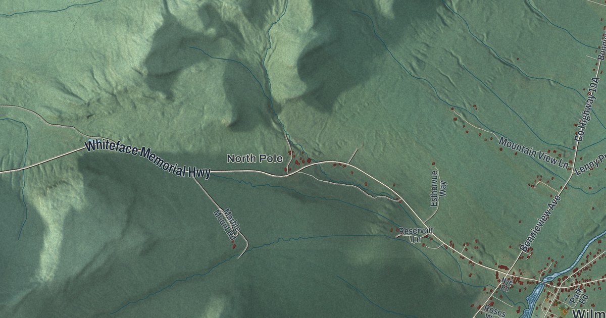
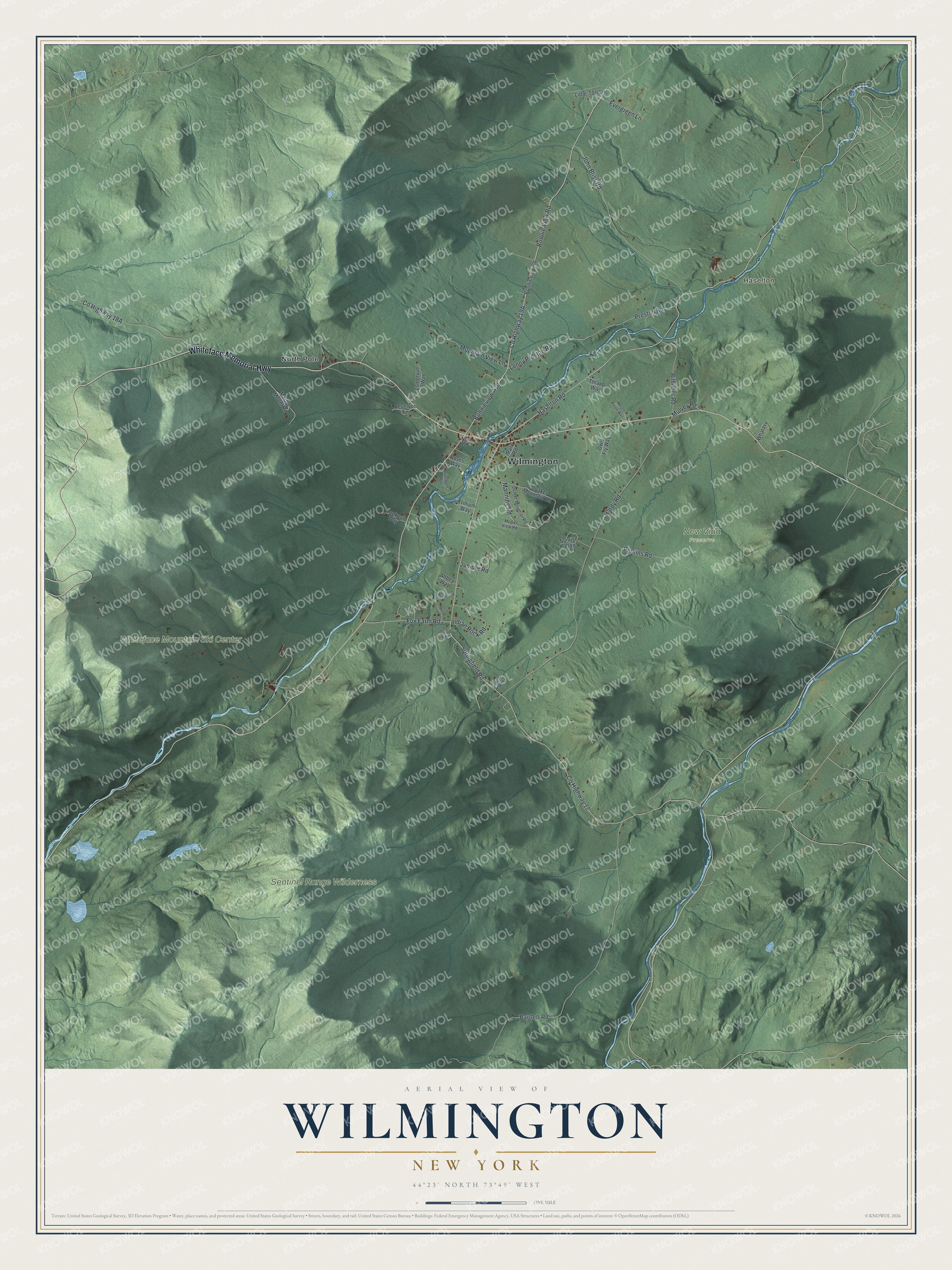
This beautifully detailed map of Wilmington, New York was created in 2026 using aerial imagery combined with modern topographical, census, street and landmark data. It’s a one-of-a-kind view of Wilmington that combines accurate data with a vintage aesthetic. The map shows every building in its true location, many of the roads carry their names, and the shaded topographic relief shows the shape of the land.
Explore an aerial view of Wilmington, New York
On the map you’ll find Haselton, North Pole, and New Vida Preserve, along with Whiteface Memorial Highway, Bonnie View Road, Springfield Road, Bonnieview Avenue, Haselton Road, and more. If you look closely you can even find your house accurately drawn in its correct location. Zoom in on the preview to look for yours.
Did You Know?
Wilmington was formed from the town of Jay in 1821 under the name Dansville. Another Dansville in New York caused confusion. So in 1822 a settler from Vermont suggested a new name, and the town became Wilmington, after Wilmington, Vermont.
Take a closer look at the Wilmington map
Names on this map
These names are printed on this map.
Places: Wilmington, Haselton, New Vida Preserve, Sentinel Range Wilderness, Whiteface Mountain Ski Center and North Pole.
Streets and roads: Whiteface Memorial Highway, Bonnie View Road, Springfield Road, Bonnieview Avenue, Haselton Road, Lenny Preston Road, County Highway 12, Hardy Road, John Bliss Road, Preston Road, Perkins Road, Mountain View Lane.
More street names, A to Z
Abbey Way, Bartlett Road, Bilhuber Road, Bonita's Way, Bonnieview Road, Bruce Hare Way, Cloud Spin, Esthervue Way, Evergreen Lane, Fox Farm Road, Hollow Lane, Indian Rock Road, Juniper Road, Little-Torr Lane, Lookout Way, Manning Road, Marbella Drive, Marble Mount Road, Mount View Road, Mulvey Road, Nye Road, Owls Fly Way, Park Road, Quaker Mountain Road, Quaker Mountian Road, Reservoir Lane, Riverbend Way, Roses Way, Sunrise Way, Thrapp Way, Trillium Way, Whatavu.
See it on a wall
The Wilmington map as a framed print. Swipe for more.


This beautifully detailed map of Wilmington makes an attractive addition to your office, library, or den, and it can even be used to teach children the geography and history of the area. It also makes a great gift for anyone with Wilmington roots. When you’re done exploring, click here to get your copy of the Wilmington map.