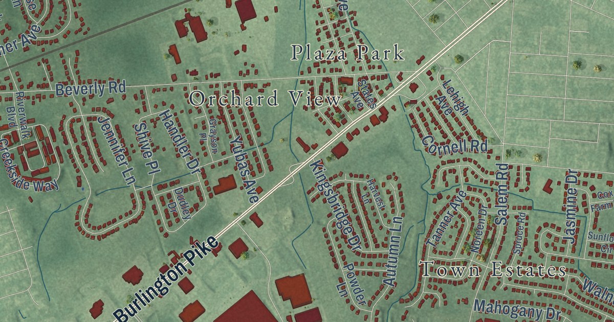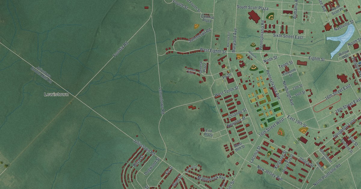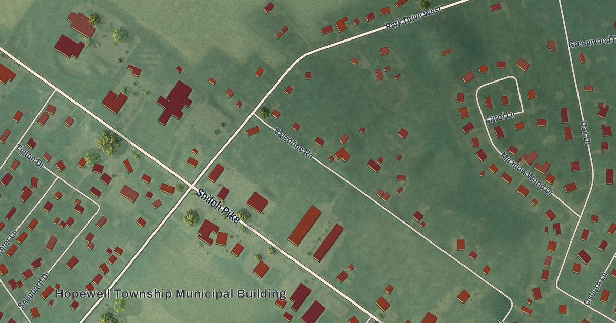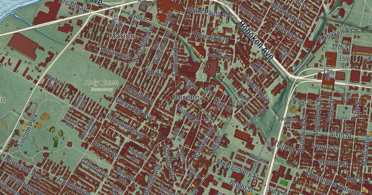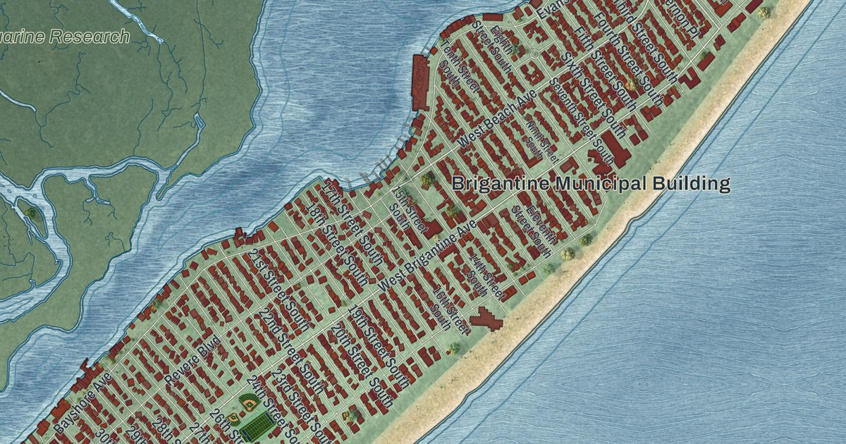
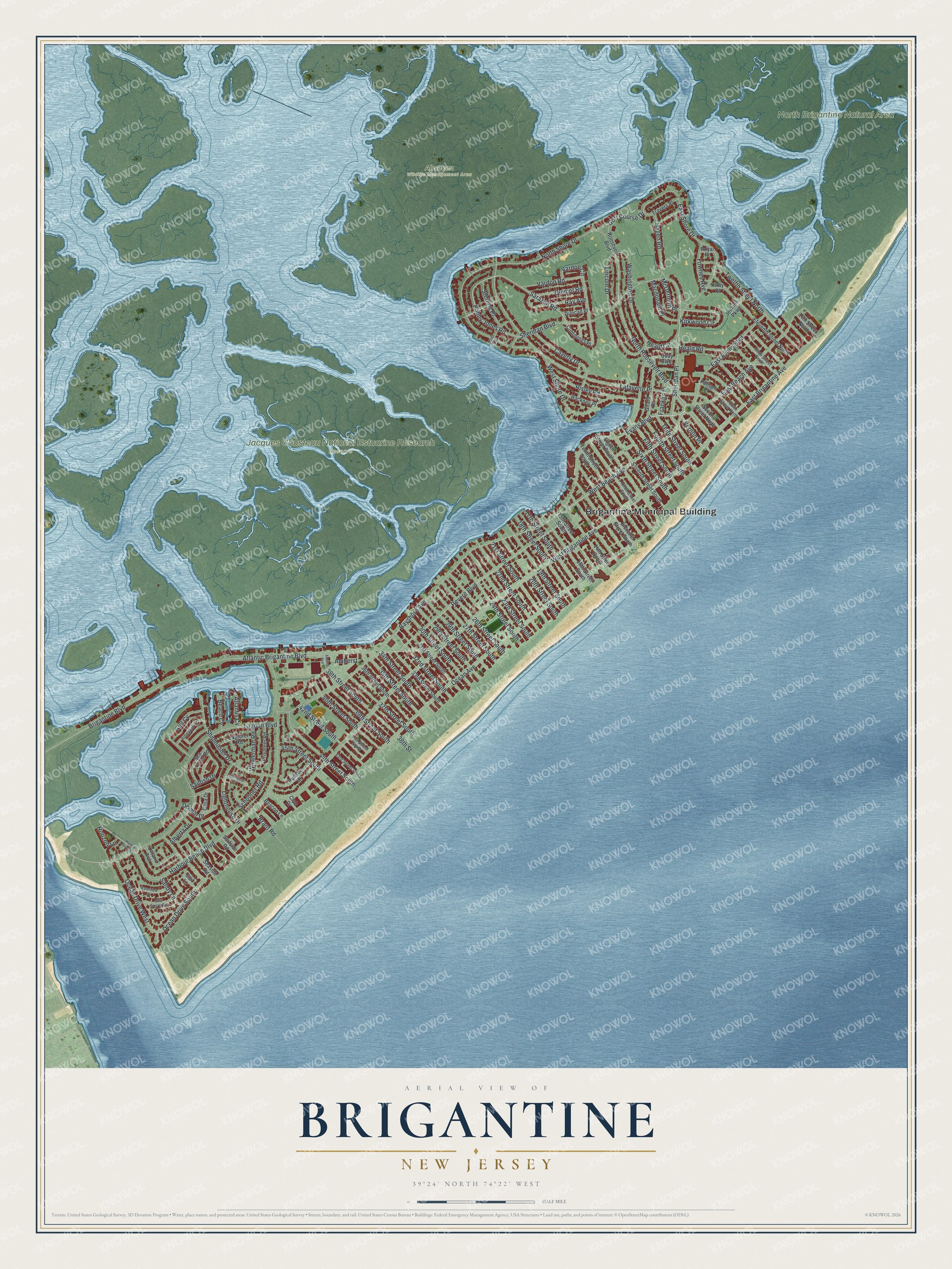
This beautifully detailed map of Brigantine, New Jersey was created in 2026 using aerial imagery combined with modern topographical, census, street and landmark data. It’s a one-of-a-kind view of Brigantine that combines accurate data with a vintage aesthetic. The map shows every building in its true location, many of the roads carry their names, and the shaded topographic relief shows the shape of the land.
Explore an aerial view of Brigantine, New Jersey
On the map you’ll find Brigantine Municipal Building, Absecon Wildlife Management Area, Jacques Cousteau National Estuarine Research Reserve, North Brigantine Natural Area, and Sheridan Place, along with West Beach Avenue, Bobby Jones Road, Evans Boulevard, West Brigantine Avenue, Brigantine Boulevard, Sarazen Road, Kirkwood Circle, and more. If you look closely you can even find your house accurately drawn in its correct location. Zoom in on the preview to look for yours.
Did You Know?
Brigantine took its name from the many ships wrecked nearby, brigantines among them. The island first became a borough in 1890. From 1914 to 1924 it was called East Atlantic City. In 1924 it became the City of Brigantine again.
Take a closer look at the Brigantine map
Names on this map
These names are printed on this map.
Places: Brigantine Municipal Building, Absecon Wildlife Management Area, Jacques Cousteau National Estuarine Research Reserve and North Brigantine Natural Area.
Streets and roads: West Beach Avenue, Bobby Jones Road, Evans Boulevard, West Brigantine Avenue, Brigantine Boulevard, Sarazen Road, Sheridan Place, Kirkwood Circle, North Roosevelt Boulevard, Bayshore Avenue, Atlantic Brigantine Boulevard, Ocean Avenue.
More street names, A to Z
14th Street North, 14th Street South, 15th Street South, 16th Street South, 17th Street South, 18th Street South, 19th Street South, 20th Street South, 21st Street South, 22nd Street South, 23rd Street South, 24th Street South, 26th Street South, 27th Street South, 28th Street South, 29th Street South, 30th Street South, 31st Street South, 32nd Street South, 33rd Street South, 34th Street South, 35th Street South, 36th Street South, 37th Street South, 38th Street, 38th Street South, 39th Street South, 40th Street South, 41st Street South, 42nd Street South, 43rd Street South, 44th Street South, 45th Street South, Adams Avenue, Alberta Drive, Amherst, Arbegast Drive, Atlantis Cv, Beach Cv, Beacon Lane, Brant Road, Casa Drive, Caverly Drive, Club Drive, Cummings Place, Delmar Drive, Duncan Place, East Beach Avenue, East Brigantine Avenue, East Evans Boulevard, East Shore Drive, Eighth Street South, Eleventh Street North, Eleventh Street South, Explorer Road, Fifth Street South, Fourth Street North, Fourth Street South, Fownes Avenue, Franklin Place, Girard Place, Golf Course Drive, Gull Cv, Hackney Place, Hagen Road, Harbor Beach Cv, Harbour Beach Boulevard, Heald Circle, Heald Road, Horizon Lane, Hudson Drive, Jenkins Parkway, Kirby Place, Lafayette Place, Lagoon Boulevard, Lighthouse Cv, Lighthouse Drive, Lincoln Drive, Macdonald Place, McDermott Place, Ninth Street North, Ninth Street South, North Shore Drive, Ocean Drive South, Ocean Drive West, Ontario Avenue, Platt Avenue, Privateer Road, Putnam Place, Quay Boulevard, Quimet Road, Ray Avenue, Revere Boulevard, Risley Road, Roosevelt Boulevard, Royal Place, Sailfish Drive, Sandy Lane, Schooner Road, Sea Horse Road, Seaside Road, Sea Spray Road, Second Street North, Seventh Street South, Sheridan Boulevard, Shipmaster Drive, Sixth Street South, Sterling Place, Surf Lane, Surfside Road, Tenth Street South, Third Street South, Travers Place, Twelfth Street North, Vardon Circle, Vardon Road, Vernon Place, Washington Drive, Waterview Drive, West Shore Drive, Whalerman Road.
See it on a wall
The Brigantine map as an 18 x 24 inch print in a black frame.

This beautifully detailed map of Brigantine makes an attractive addition to your office, library, or den, and it can even be used to teach children the geography and history of the area. It also makes a great gift for anyone with Brigantine roots. When you’re done exploring, click here to get your copy of the Brigantine map.