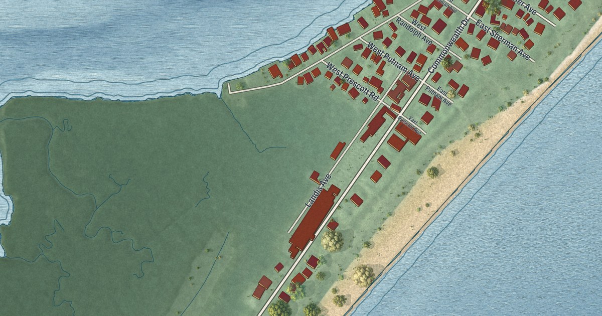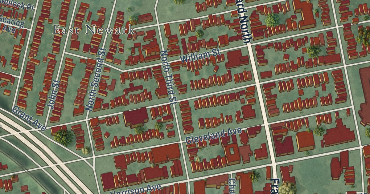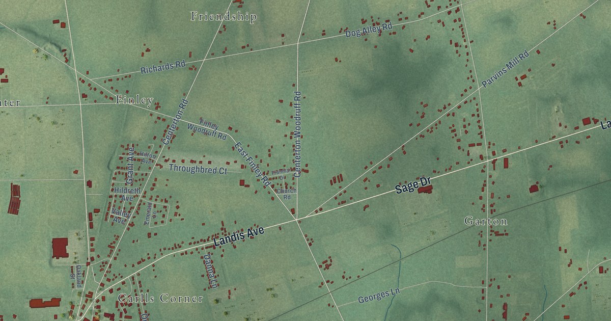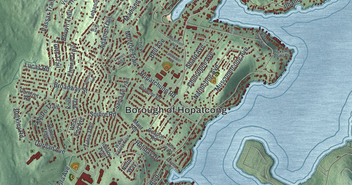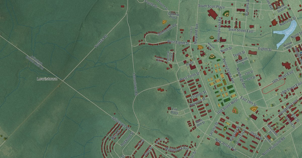
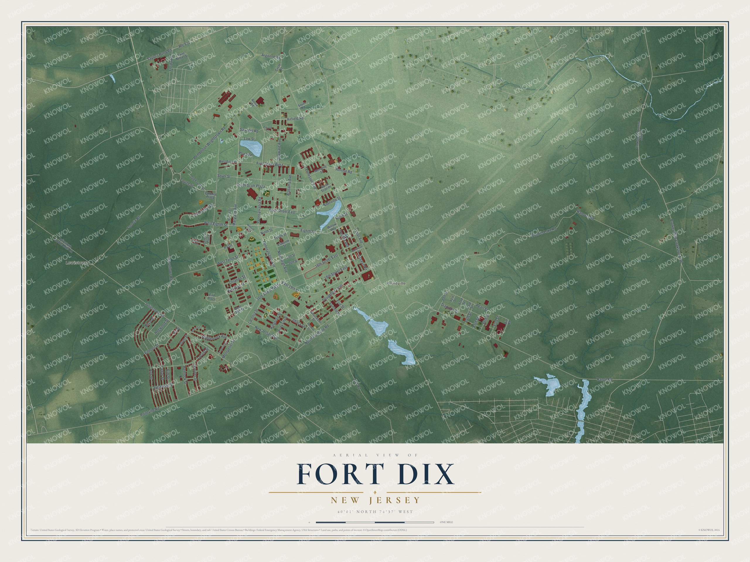
This beautifully detailed map of Fort Dix, New Jersey was created in 2026 using aerial imagery combined with modern topographical, census, street and landmark data. It’s a one-of-a-kind view of Fort Dix that combines accurate data with a vintage aesthetic. The map shows every building in its true location, many of the roads carry their names, and the shaded topographic relief shows the shape of the land.
Explore an aerial view of Fort Dix, New Jersey
On the map you’ll find Lewistown and Pointville, along with Doughboy Loop, Eighth Street, 16th Street West, Pennsylvania Road, Airfield Road, West Eighth Street, 16th Street East, Pennsylvania Avenue, Tennessee Avenue, Pearl Street, and more. If you look closely you can even find your house accurately drawn in its correct location. Zoom in on the preview to look for yours.
Did You Know?
Construction of Camp Dix began in June 1917. It trained and staged troops for World War I, then released them home after the war. Between the wars it served the Civilian Conservation Corps. On March 8, 1939, it became Fort Dix, a permanent Army post.
Take a closer look at the Fort Dix map
Names on this map
These names are printed on this map.
Places: Lewistown and Pointville.
Streets and roads: Doughboy Loop, Eighth Street, 16th Street West, Pennsylvania Road, Airfield Road, West Eighth Street, 16th Street East, Pennsylvania Avenue, Tennessee Avenue, Pearl Street, East 19th Street, Texas Avenue.
More street names, A to Z
13th Street, 14th Street, 18th Street East, 80th Street, 81st Street, 82nd Street, 83rd Street, 84th Street, 85th Street, 86th Street, 87th Street, Access Road, Alabama Avenue, Aneiros Lane, Annex Road, Argonne Road, Ash Street, Baltimore Street, Birch Street, Browns Mills Cookstown Road, Caruso Lane, Cedar Street, Circle Road, Colonels Plaza, Colonial Plaza, Cookstown-Browns Mills Road, Delaware Avenue, Diamond Street, Dirt Road, Dogwood Street, Eleventh Street, Elm Street, End Plaza, Erie Street, Fairfield Street, Filmore Street, Fir Street, First Street West, Florida Avenue, Fort Dix Road, Fourth Street, Froehlich Avenue, Gas Road, General Plaza, Gloucester Street, Gum Street, Hanover Road, Hartford Street, Hemlock Street, Ithaca Street, Jersey City Street, Juliustown Browns Mills Road, Juliustown Road, Juniper Street, Kingston Street, Laconia Street, Lemontown Road, Locust Street, Low Street, Mahlebrock Avenue, Maryland Avenue, Memphis Street, Milleville Avenue, Montpelier Street, Nashville Street, Newburgh Avenue, New Jersey Avenue, Newport Street, New York Avenue, Ninth Street, North Pointville Road, North Scott Place, North Street, Old Fourth Street, Orlando Street, Pemberton Wrightstown Road, Pioneer Lake Road, Plaza Road, Pointville Road, Px Drive, Range Road, Route 670, Saint Mihiel Street, Saw Mill Road, Saylors Pond Road, Sever Street, Sixth Street East, South Road, South Scott Plaza, Summerall Road, Sunrise Road, Sycamore Street, Tenth Street, Trenton Avenue, West 16th Street, West First Street, West Tenth Street, Willow Way.
See it on a wall
The Fort Dix map as an 18 x 24 inch print in a black frame.

This beautifully detailed map of Fort Dix makes an attractive addition to your office, library, or den, and it can even be used to teach children the geography and history of the area. It also makes a great gift for anyone with Fort Dix roots. When you’re done exploring, click here to get your copy of the Fort Dix map.