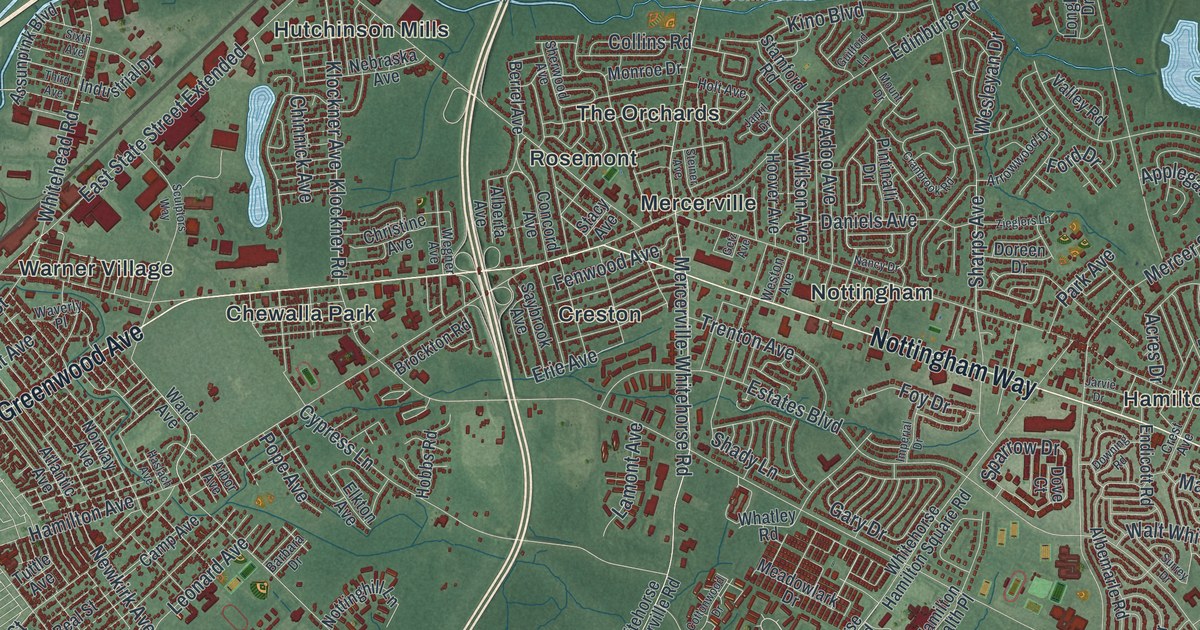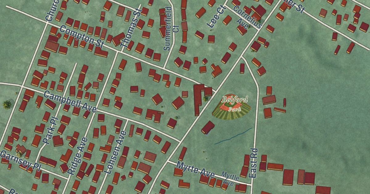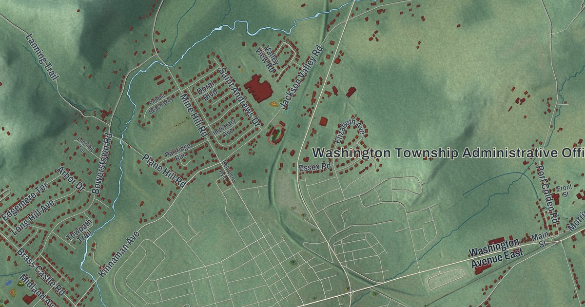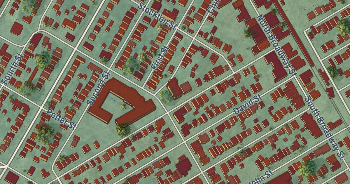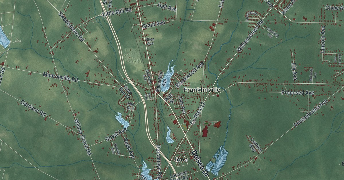
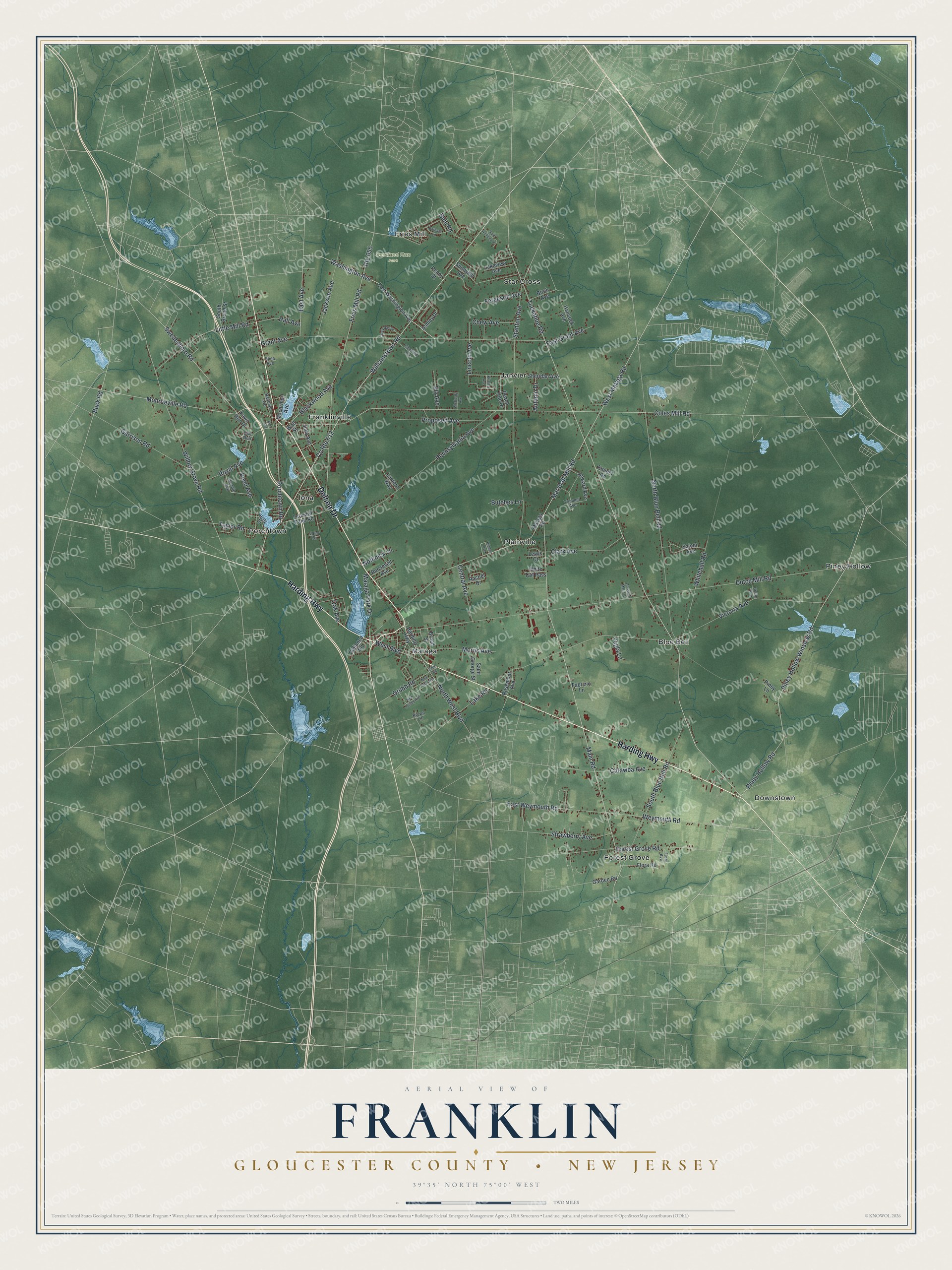
This beautifully detailed map of Franklin, Gloucester County, New Jersey was created in 2026 using aerial imagery combined with modern topographical, census, street and landmark data. It’s a one-of-a-kind view of Franklin that combines accurate data with a vintage aesthetic. The map shows every building in its true location, many of the roads carry their names, and the shaded topographic relief shows the shape of the land.
Explore an aerial view of Franklin, Gloucester County, New Jersey
On the map you’ll find Scotland Run Park, Blue Bell, Downstown, Forest Grove, Franklinville, Fries Mill, Iona, Janvier, Malaga, Piney Hollow, Plainville, Porchtown, and more. If you look closely you can even find your house accurately drawn in its correct location. Zoom in on the preview to look for yours.
Did You Know?
Franklin was formed in 1820 from parts of Greenwich and Woolwich townships. It was named for Benjamin Franklin. Later, parts of its land became Clayton in 1858 and Newfield in 1924.
Take a closer look at the Franklin, Gloucester County map
Names on this map
These names are printed on this map.
Places: Scotland Run Park, Blue Bell, Downstown, Forest Grove, Franklinville, Fries Mill, Iona, Janvier, Malaga, Piney Hollow, Plainville, Porchtown and Star Cross.
Streets and roads: Harding Highway, Delsea Drive, Williamstown Road, Piney Hollow Road, Washington Avenue, County Route 612, West Malaga Road, West Boulevard, Porchtown Road, Main Road, Piney Hollow Winslow Road, Tuckahoe Road.
More street names, A to Z
Ashley Drive, Autumn Drive, Barbara Lane, Behl Road, Birch Avenue, Blackwood Avenue, Broad Street, Brown Lane, Buck Road, Butches Lane, Catawba Avenue, Central Avenue, Chew Avenue, Christine Maria Court, Clark Avenue, Clearfield Avenue, Coles Mill Road, Defiance Road, Doe Run, Dutch Mill Road, East Avenue, East Grant Avenue, East Washington Avenue, East Weymouth Road, Ely Avenue, Emmel Road, Fabrizio Lane, Fawn Run Drive, Fergeson Avenue, Flora Avenue, Flora Road, Forest Grove Road, Fries Mill Road, Garden Road, Garrison Road, Grant Avenue, Grubb Road, Grub Road, Hall Avenue, Hancock Avenue, Hidden Avenue, Holly Drive, Howard Avenue, Jackson Avenue, Jaimi Drive, Judy Avenue, Kendle Avenue, Kirsten Avenue, Kurt Avenue, Lacey Rae Drive, Lake Road, Lakeview Avenue, Lantern Way, Leonard Cake Road, Lewis Court, Lincoln Avenue, Little Mill Road, Macarthur Avenue, Malaga Park Drive, Malaga Road, Marshall Mill Road, McCurdy Avenue, Monroeville Road, Morris Avenue, New Jersey Avenue, New York Avenue, North Blue Bell Road, North West Boulevard, Nothnick Lane, Oak Avenue, Peach Tree Drive, Pennsylvania Avenue, Penny Street, Piney Lane, Proposed Avenue, Rachel Drive, Railroad Avenue, Reed Avenue, Roosevelt Avenue, Rosemont Avenue, Route 655, Royal Avenue, Saint Anthony Lane, Saint George Street, Salem Avenue, Shea Avenue, Sheridan Avenue, South Blue Bell Road, South Broad Street, Stanton Avenue, Strawberry Avenue, Sunnyhill Avenue, Swedesboro Road, Taylor Road, Trimmel Avenue, Union Avenue, Victoria Avenue, Wall Street, Weymouth Road, Whitehall Road, White Tail Pass, Willow Grove Road, Yegla Lane.
See it on a wall
The Franklin, Gloucester County map as an 18 x 24 inch print in a black frame.

This beautifully detailed map of Franklin, Gloucester County makes an attractive addition to your office, library, or den, and it can even be used to teach children the geography and history of the area. It also makes a great gift for anyone who grew up in Franklin or moved away. When you’re done exploring, click here to get your copy of the Franklin, Gloucester County map.