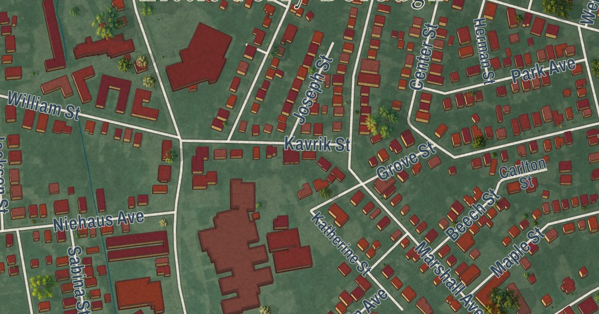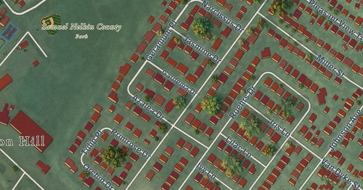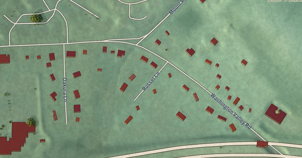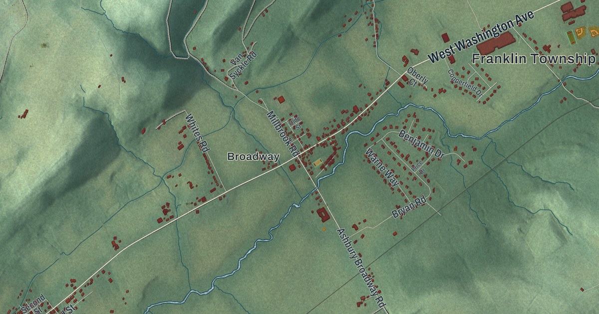
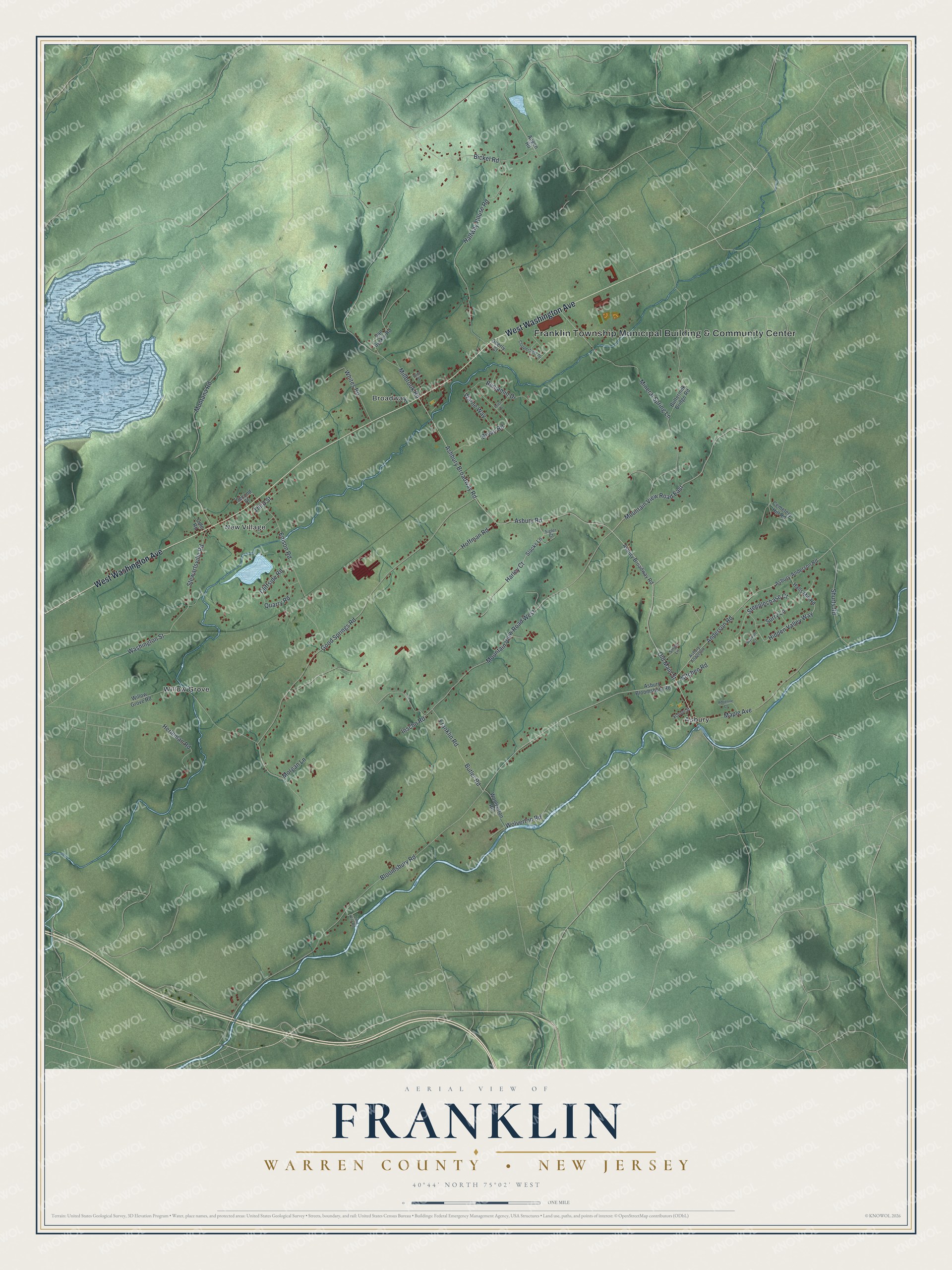
This beautifully detailed map of Franklin, Warren County, New Jersey was created in 2026 using aerial imagery combined with modern topographical, census, street and landmark data. It’s a one-of-a-kind view of Franklin that combines accurate data with a vintage aesthetic. The map shows every building in its true location, many of the roads carry their names, and the shaded topographic relief shows the shape of the land.
Explore an aerial view of Franklin, Warren County, New Jersey
On the map you’ll find Franklin Township Municipal Building & Community Center, Asbury, Broadway, New Village, and Willow Grove, along with West Washington Avenue, Ashbury Broadway Road, Mountain View Road East, Old Main Street, Asbury Road, Harley Court, Shurts Road, and more. If you look closely you can even find your house accurately drawn in its correct location. Zoom in on the preview to look for yours.
Did You Know?
Franklin became a township in 1839 and was named for Benjamin Franklin. In 1899, Thomas Edison started a cement company in its New Village section. The Edison Portland Cement Company supplied the concrete for Yankee Stadium in 1922. It went bankrupt in the 1920s.
Take a closer look at the Franklin, Warren County map
Names on this map
These names are printed on this map.
Places: Franklin Township Municipal Building & Community Center, Asbury, Broadway, New Village and Willow Grove.
Streets and roads: West Washington Avenue, Ashbury Broadway Road, Mountain View Road East, Old Main Street, Asbury Road, Harley Court, Shurts Road, Stewartsville Road, Bloomsbury Road, Mountain View Road West, Good Springs Road, Millbrook Road.
More street names, A to Z
Adrienne Court, Anderson Road, Angen Road, Asbury-Anderson Road, Asbury Anderson, Asbury Bloomsbury Road, Asbury Broadway Road, Benjamin Drive, Bickel Road, Bryan Road, Butler Road, Buttermilk Bridge Road, Cemetery Hill Road, Cliffside Road, Cole Road, Copperfield Drive, Edison Road, Franklin Road, Halfway House Road, Halls Mill Road, Herleman Road, Hidden Valley Way, Hoffman Road, Inscho Road, Kitchen Road, Lime Kiln Road, Maple Avenue, Mineral Spring Lane, Montana Road, Morgan Lane, Oberly Court, Olde Street, Price Drive, Quarry Road, School Street, Second Street, Sigler Court, Slacks Lane, Smith Lane, Steeplechase Court, Surry Lane, Third Street, Van Syckle Road, Warne Way, Washington Street, Whites Road, Willow Grove Road, Wolverton Road, Woolverton Road, Wyckoff Court.
See it on a wall
The Franklin, Warren County map as an 18 x 24 inch print in a black frame.

This beautifully detailed map of Franklin, Warren County makes an attractive addition to your office, library, or den, and it can even be used to teach children the geography and history of the area. It also makes a great gift for someone who left Franklin and still calls it home. When you’re done exploring, click here to get your copy of the Franklin, Warren County map.