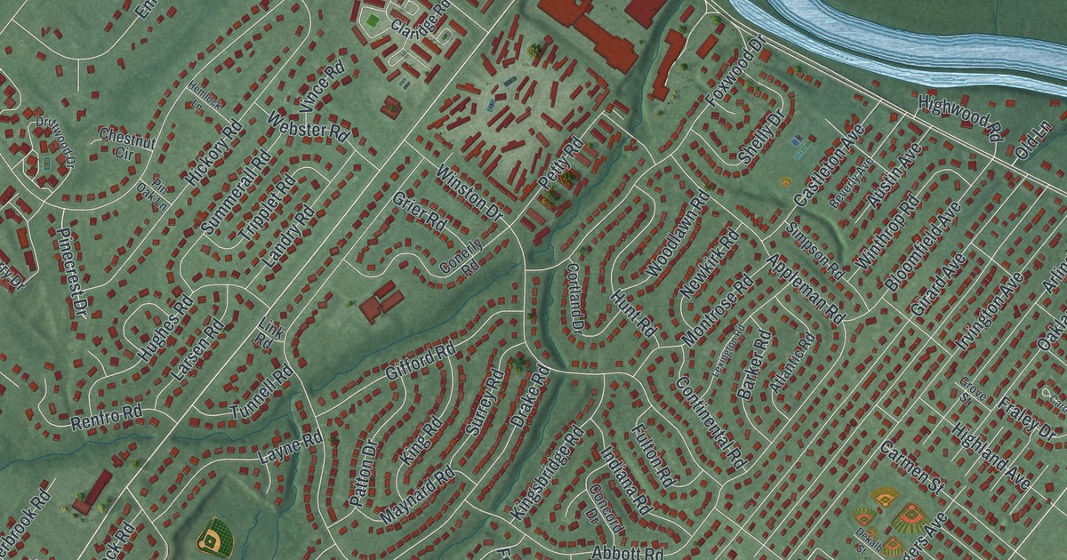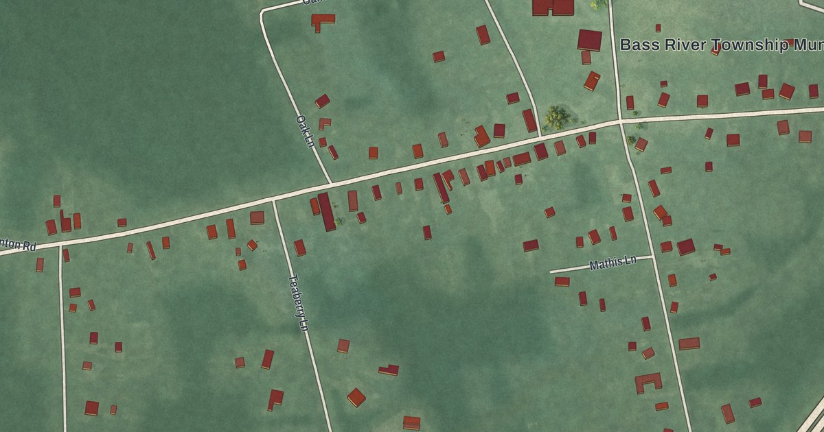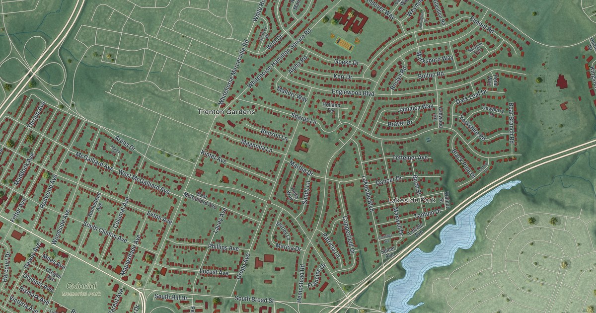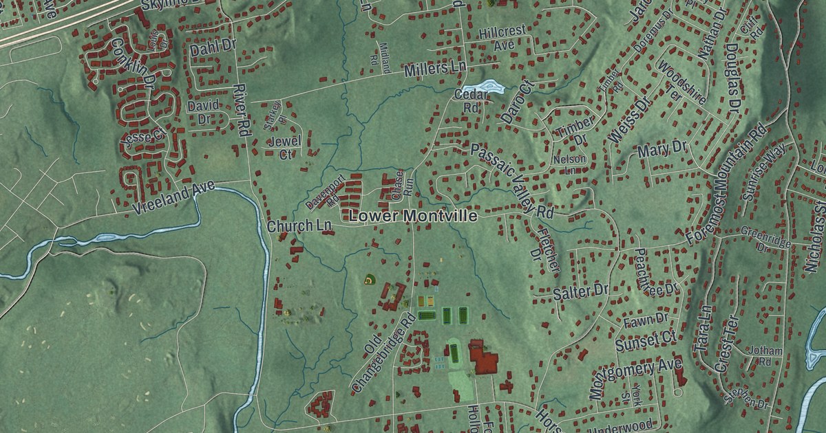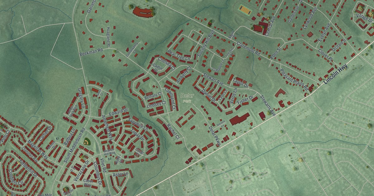
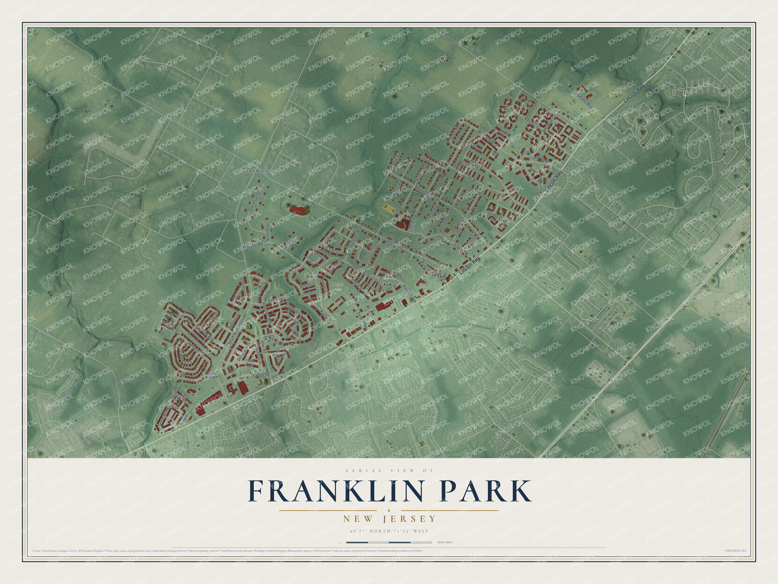
This beautifully detailed map of Franklin Park, New Jersey was created in 2026 using aerial imagery combined with modern topographical, census, street and landmark data. It’s a one-of-a-kind view of Franklin Park that combines accurate data with a vintage aesthetic. The map shows every building in its true location, many of the roads carry their names, and the shaded topographic relief shows the shape of the land.
Explore an aerial view of Franklin Park, New Jersey
On the map you’ll find Delar Park and Pleasant Plains, along with Lincoln Highway, Stewart Avenue, Fisher Drive, Stewarts Avenue, Pear Tree Lane, Astor Lane, Village Drive, Westminster Road, Green Hill Manor Drive, Whitehall Lane, and more. If you look closely you can even find your house accurately drawn in its correct location. Zoom in on the preview to look for yours.
Did You Know?
Franklin Park was first called Six Mile Run, after a stream that feeds the Millstone River. From 1714 to 1737 it held the first Somerset County Courthouse and jail. After fire destroyed the building, the county seat moved to Millstone. The name changed to Franklin Park on June 25, 1872.
Take a closer look at the Franklin Park map
Names on this map
These names are printed on this map.
Places: Delar Park and Pleasant Plains.
Streets and roads: Lincoln Highway, Stewart Avenue, Fisher Drive, Stewarts Avenue, Pear Tree Lane, Astor Lane, Village Drive, Westminster Road, Green Hill Manor Drive, Whitehall Lane, South Middlebush Road, Claremont Road.
More street names, A to Z
Allamano Way, Amberly Court, Amethyst Way, Ari Drive, Arthur Glick Boulevard, Balboa Lane, Baylor Street, Beacon Hill Way, Beekman Road, Bennington Parkway, Bethany Court, Brook Street, Cabot Way, Caitlin Court, Canoe Lane, Cartier Drive, Central Avenue, Champlain Way, Chelsea Court, Clover Place, Cobblers Circle, Columbus Drive, Conservancy Court, Copley Square, Coral Court, Cortelyous Lane, Coventry Lane, Crabapple Lane, Daniel Drive, Deborah Drive, Decaire Lane, Delar Parkway, De Leon Circle, Desoto Drive, Diaz Court, Dina Lane, Eden Street, Edith Drive, Edward Drive, Evelyn Avenue, Garden Avenue, Garretson Drive, Gregory Lane, Hillview Avenue, Hoagland Place, Holland Drive, James Court, Jill Court, Julie Court, Lindsey Court, Lynwood Avenue, Lyon Lane, Magellan Way, Majesty Lane, Marco Polo Court, Meadow Avenue, Old Stage Road, Orchard Street, Pickering Place, Pleasant Plains Road, Rachel Court, Raleigh Way, Reler Lane, Royal Court, Ruby Court, Sapphire Lane, Society Hill Boulevard, Taylor Drive, Ten Mile Run Boulevard, Timberhill Drive, Topaz Drive, Townsend Court, Van Liew Drive, Van Wickle Drive, Vermont Avenue, Veros Lane, Verrazano Drive, Victoria Drive, Vliet Road, Woodhill Street, Yardley Court, Yorkshire Road.
See it on a wall
The Franklin Park map as an 18 x 24 inch print in a black frame.

This beautifully detailed map of Franklin Park makes an attractive addition to your office, library, or den, and it can even be used to teach children the geography and history of the area. It also makes a great gift for anyone who grew up in Franklin Park or moved away. When you’re done exploring, click here to get your copy of the Franklin Park map.