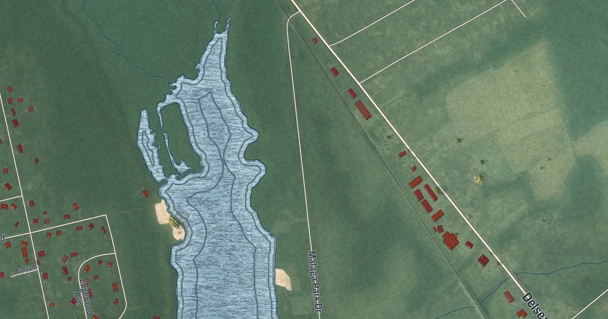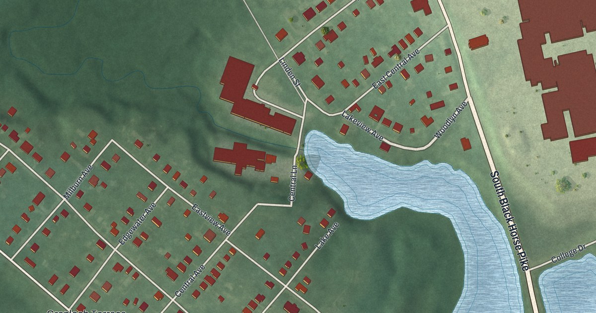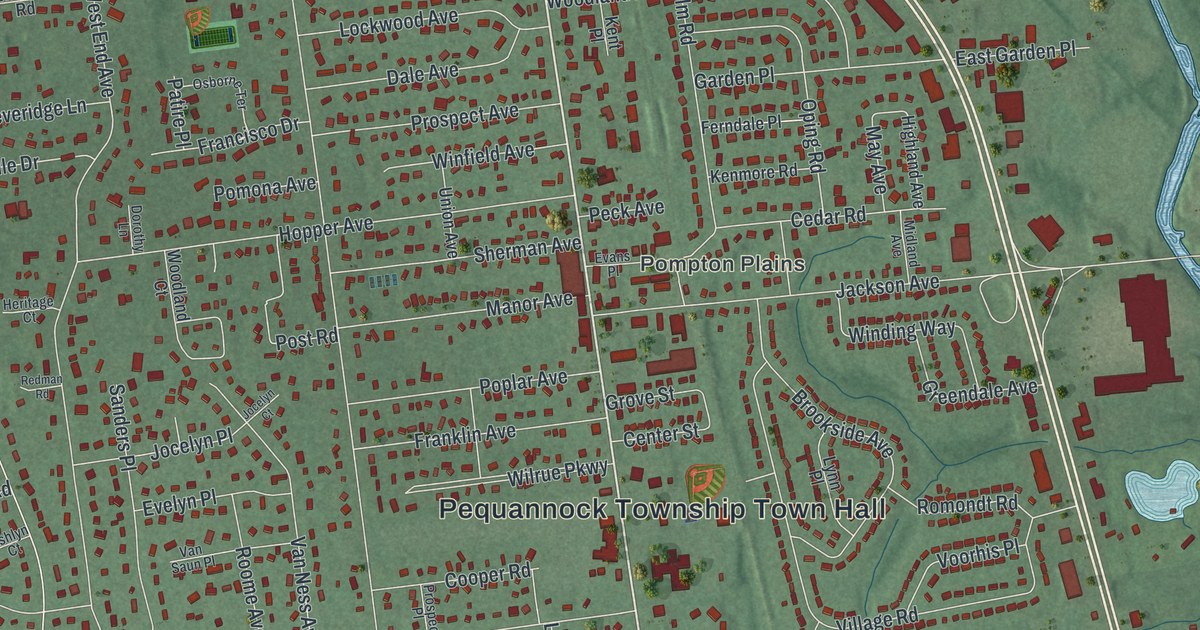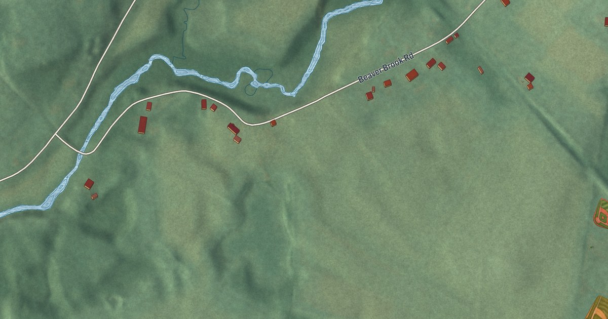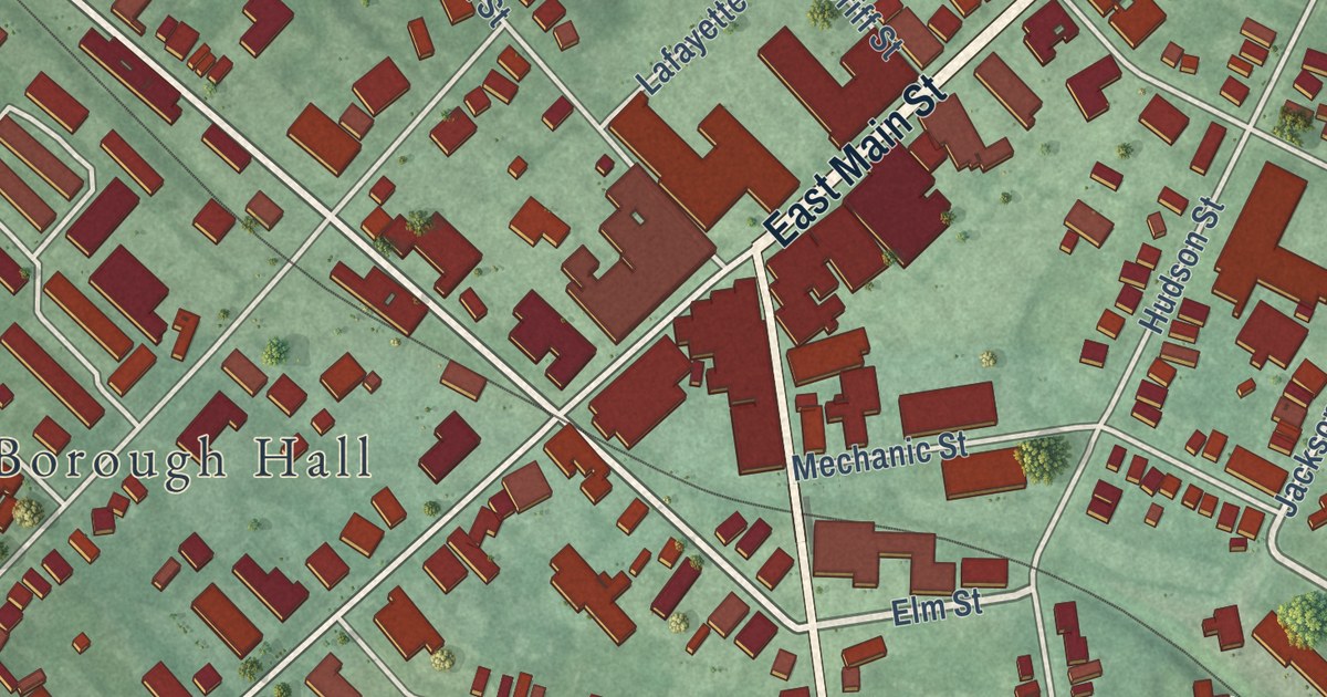
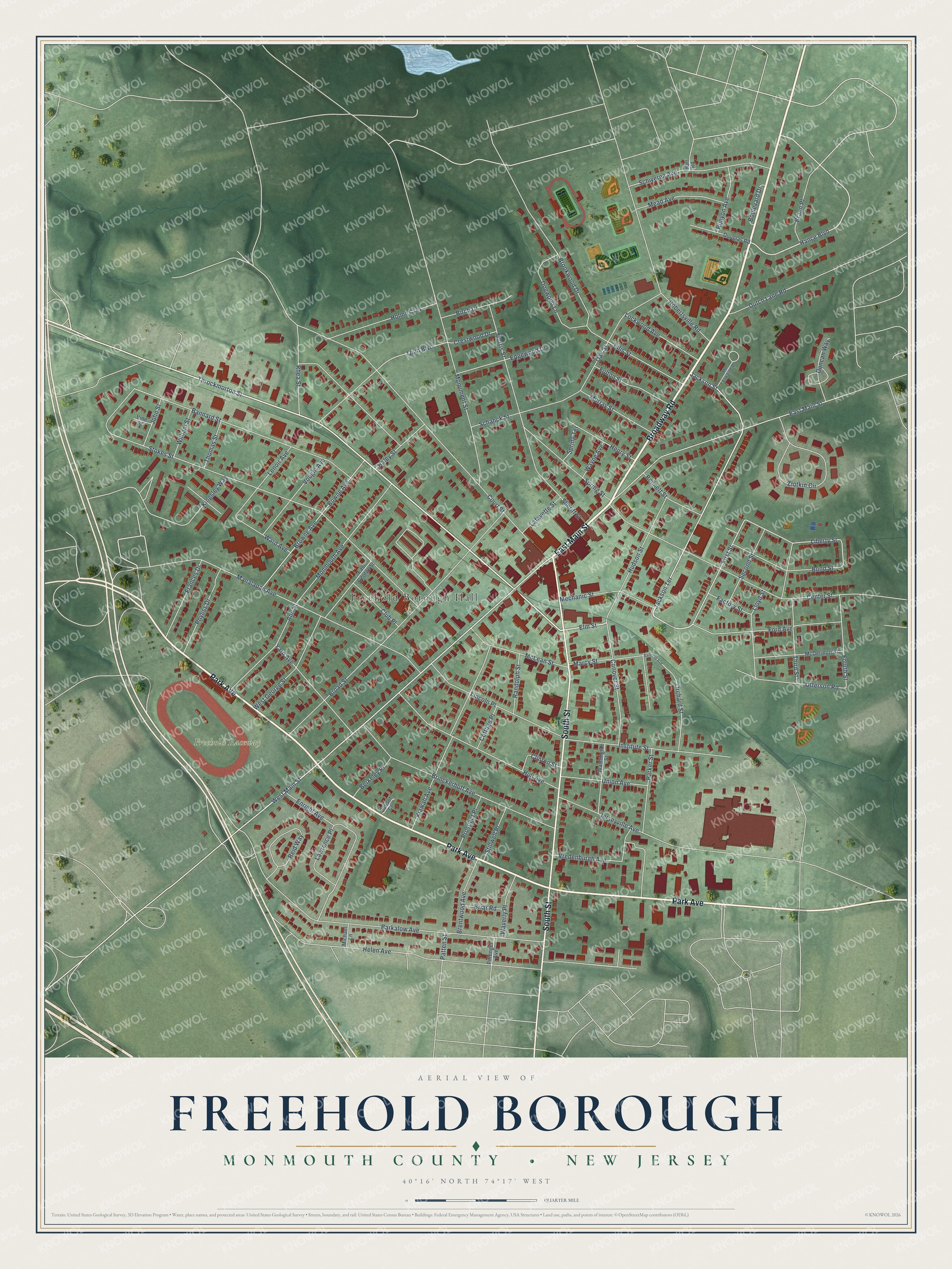
This beautifully detailed map of Freehold Borough, Monmouth County, New Jersey was created in 2026 using aerial imagery combined with modern topographical, census, street and landmark data. It’s a one-of-a-kind view of Freehold Borough that combines accurate data with a vintage aesthetic. The map shows every building in its true location, many of the roads carry their names, and the shaded topographic relief shows the shape of the land.
Explore an aerial view of Freehold Borough, Monmouth County, New Jersey
On the map you’ll find Freehold Borough Hall and Freehold Raceway, along with East Main Street, Broadway Road, Park Avenue, South Street, Elm Street, Throckmorton Street, Hance Boulevard, Jackson Terrace, Jackson Street, First Street, and more. If you look closely you can even find your house accurately drawn in its correct location. Zoom in on the preview to look for yours.
Take a closer look at the Freehold Borough, Monmouth County map
Names on this map
These names are printed on this map.
Places: Freehold Borough Hall and Freehold Raceway.
Streets and roads: East Main Street, Broadway Road, Park Avenue, South Street, Elm Street, Throckmorton Street, Hance Boulevard, Jackson Terrace, Jackson Street, First Street, West Main Street, Liberty Street.
More street names, A to Z
Ann Street, Bannard Street, Barkalow Avenue, Bennett Street, Berkeley Place, Birch Drive, Bond Street, Boulevard Drive, Bowne Avenue, Braun Place, Brentwood Avenue, Briar Road, Brinckerhoff Avenue, Broad Street, Brookwood Drive, Browne Avenue, Center Street, Clinton Street, Club Place, Conover Street, Cottage Place, Court Street, Crestwood Drive, Dogwood Lane, Douglas Road, Duncan Way, Dutch Lane Road, East George Street, Edgewood Drive, Ellis Street, Enright Avenue, Factory Street, Ford Avenue, Fourth Street, Frances Drive, Fulton Street, Haley Street, Hall Road, Helen Avenue, Henry Street, Holmes Terrace, Hudson Street, Hull Avenue, Institute Street, Jerseyville Avenue, John Street, Kiawah Avenue, Kingsley Way, Lafayette Street, Lawrence Place, Lenoir Avenue, Lincoln Place, Lloyd Street, Lockwood Avenue, Manalapan Avenue, Marcy Street, McDermott Street, Mc Elwaine Drive, McLean Street, Mead Avenue, Mechanic Street, Michael Lane, Monmouth Avenue, Monument Street, Morris Street, Murray Street, Oak Street, Orchard Street, Otterson Road, Parker Street, Patten Street, Phyliss Drive, Pittenger Avenue, Prospect Place, Quin Boulevard, Railroad Avenue, Randolph Street, Reid Way, Rhea Street, Robertsville Road, Runyon Avenue, Schanck Street, Schiverea Avenue, Second Street, Sheriff Street, Spring Street, Spring Terrace, Stillwell Place, Stokes Street, Sunset Court, Third Street, Thomas Street, Union Avenue, Vine Street, Vought Avenue, Vredenburgh Avenue, Ward Avenue, Washington Street, Waverly Place, Wayne Avenue, West George Street, William Street, Yard Avenue, Zlotkin Circle.
See it on a wall
The Freehold Borough, Monmouth County map as an 18 x 24 inch print in a black frame.

This beautifully detailed map of Freehold Borough, Monmouth County makes an attractive addition to your office, library, or den, and it can even be used to teach children the geography and history of the area. It also makes a great gift for someone who left Freehold Borough and still calls it home. When you’re done exploring, click here to get your copy of the Freehold Borough, Monmouth County map.