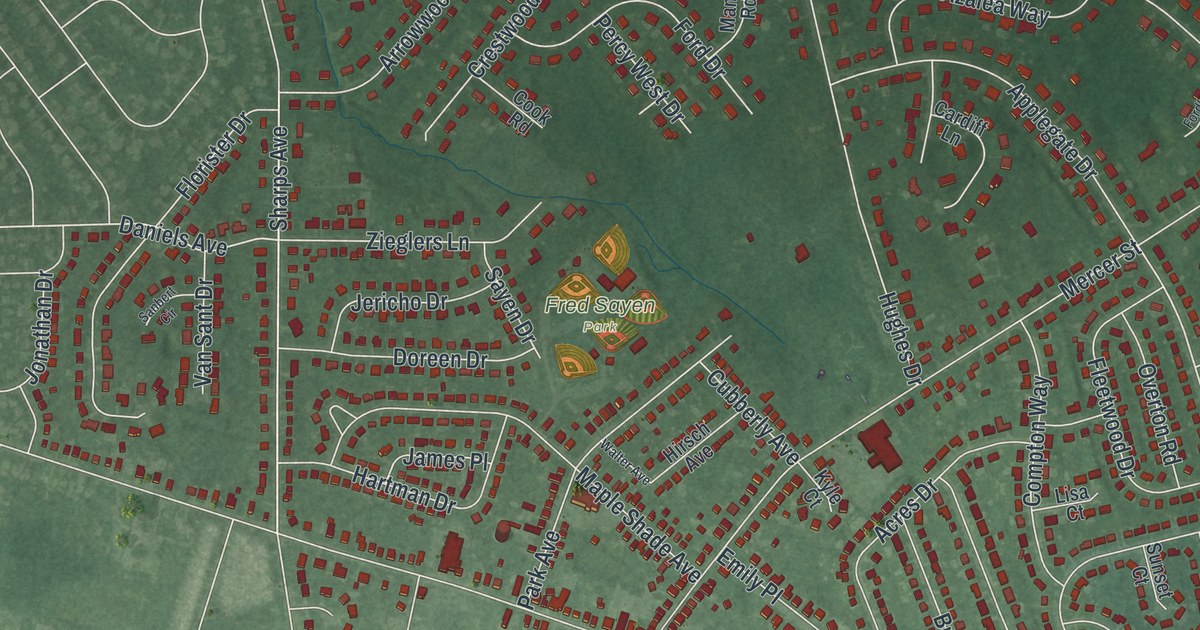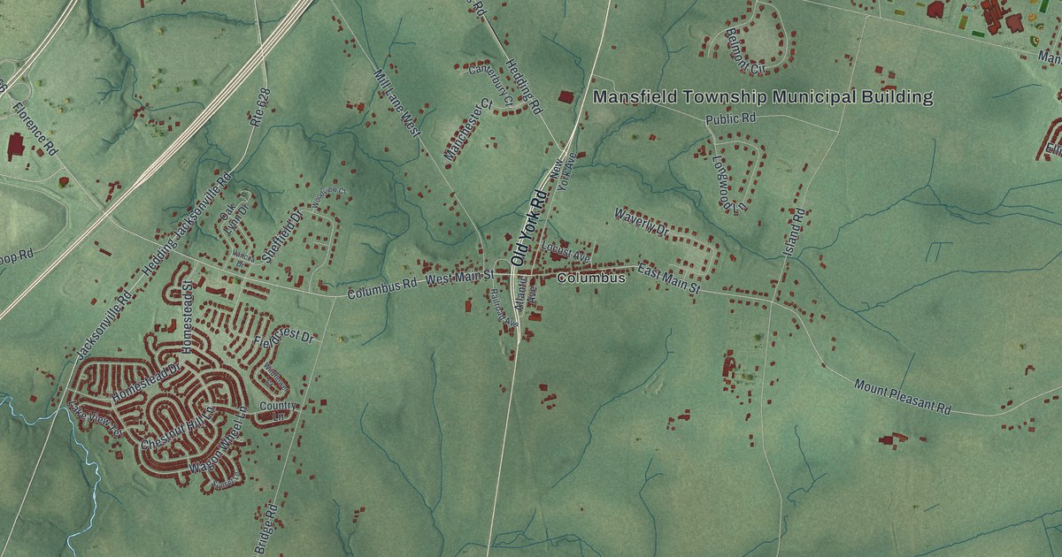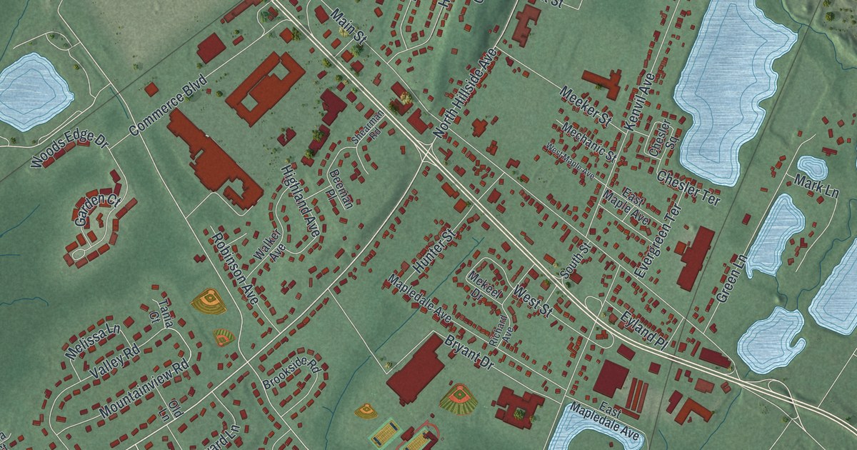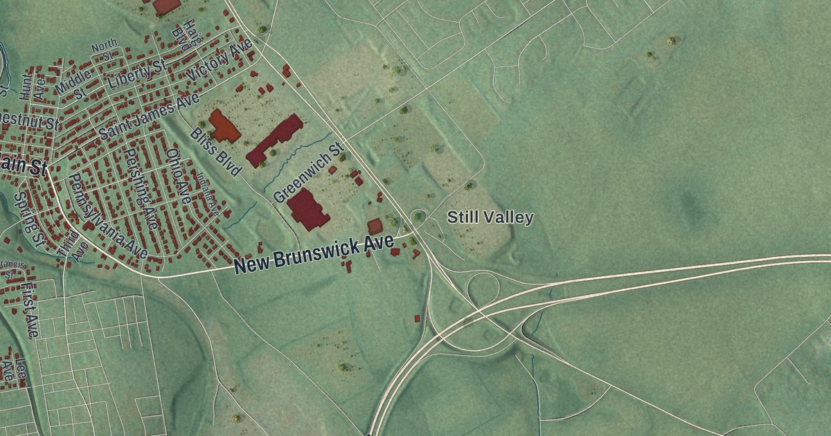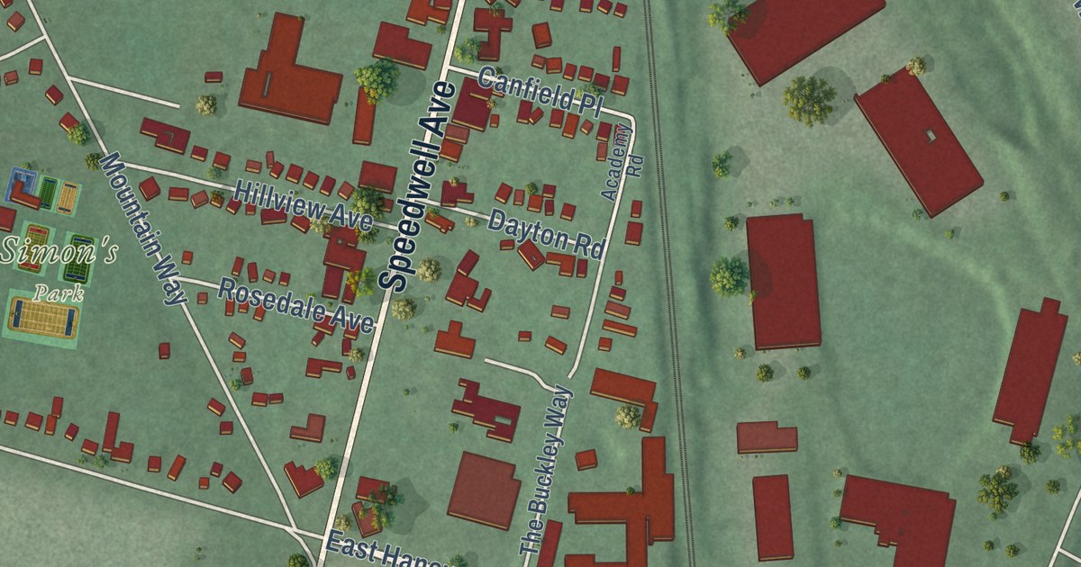
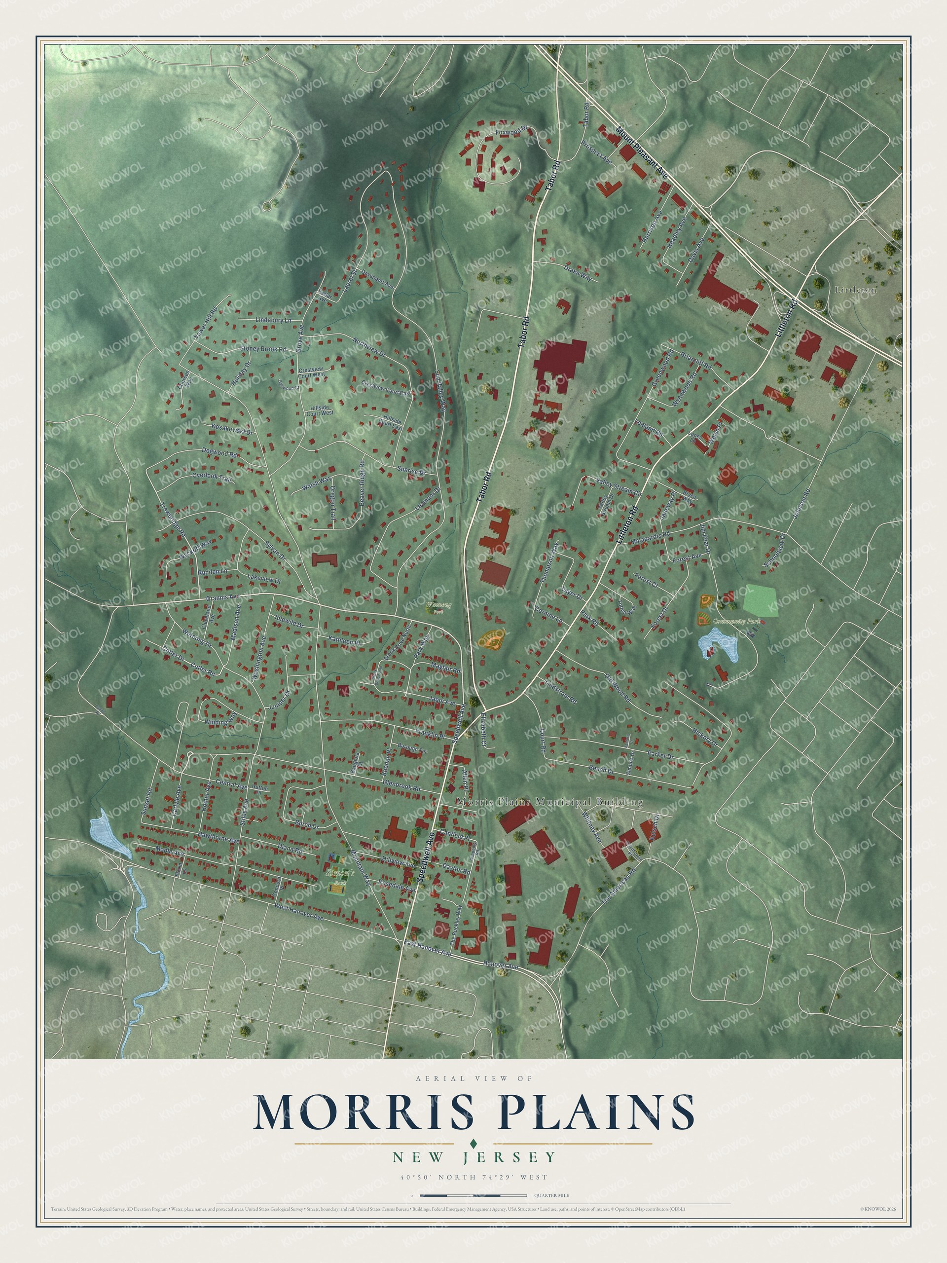
This beautifully detailed map of Morris Plains, New Jersey was created in 2026 using aerial imagery combined with modern topographical, census, street and landmark data. It’s a one-of-a-kind view of Morris Plains that combines accurate data with a vintage aesthetic. The map shows every building in its true location, many of the roads carry their names, and the shaded topographic relief shows the shape of the land.
Explore an aerial view of Morris Plains, New Jersey
On the map you’ll find Morris Plains Municipal Building, Littleton, Community Park, Simon’s Park, and Watnong Park, along with Tabor Road, Littleton Road, Mount Pleasant Avenue, Speedwell Avenue, and more. If you look closely you can even find your house accurately drawn in its correct location. Zoom in on the preview to look for yours.
Did You Know?
Morris Plains is named for Lewis Morris, who served as colonial governor of New Jersey. The state legislature created the borough from part of Hanover Township in 1926.
Take a closer look at the Morris Plains map
Names on this map
These names are printed on this map.
Places: Morris Plains Municipal Building, Community Park, Simon's Park, Watnong Park and Littleton.
Streets and roads: Tabor Road, Littleton Road, Mount Pleasant Avenue, Speedwell Avenue, Grannis Avenue, Glenbrook Road, East Hanover Avenue, Hanover Avenue, Trowbridge Road, Cutler Road, Cutler Drive, Mountain Way.
More street names, A to Z
Academy Road, Allen Place, Bangiola Court, Beaver Ridge Road, Beech Drive, Borough Terrace, Briarcliff Road, Brook Drive North, Brook Drive South, Bryce Way, Burch Drive, Canfield Place, Carlyle Avenue, Cedar Avenue, Central Avenue, Cleveland Avenue, Collins Road, Concord Place, Cornine Lane, Coursen Way, Court Road, Crestview Court East, Crestview Court West, Davenport Avenue, Davis Avenue, Dayton Road, Diana Road, Dogwood Road, Drake Way, Eisenhower Place, Elizabeth Court, Florin Lane, Forest Avenue, Forest Court, Forest Drive, Foxwood Drive, Franklin Place, Greenwood Road, Grove Avenue, Harrison Avenue, Hawthorne Avenue, Headley Avenue, Hickory Drive, Hillside Court East, Hillside Court West, Hillview Avenue, Holiday Drive, Homer Avenue, Hutton Place, Idlewild Drive, Janeway Place, Jaqui Avenue, Jim Fear Drive, Johnson Road, Juniper Drive, Kathleen Place, Keenan Place, Kelsch Drive, Kosakowski Drive, Lakeview Drive, Laurel Street, Layer Drive, Lealand Road, Leamoor Drive, Lindabury Lane, Lindstrom Road, Lopez Lane, Madison Avenue, Malapardis Road, Maple Avenue, Mayfair Road, Northview Drive, Oakwood Court, Old Wood Road, Oregon Trail, Overlook Trail, Parker Drive, Park Road, Park Way, Prospect Avenue, Rosedale Avenue, Rudden Lane, Sanford Court, Schoolview Drive, Simons Drive, Stiles Avenue, Stoney Brook Road, Sunrise Drive, Sunset Road, Sun Valley Way, Sylvan Drive, The American Road, The Buckley Way, Thompson Way, Totten Way, Tower Hill Road, Valley Stream Circle, Valley Stream Drive, Walsh Way, Washington Avenue, Watnong Drive, Welsh Place, West Hanover Avenue, Whitney Avenue, Winding Way, Wyckoff Way, Wyndwood Road.
See it on a wall
The Morris Plains map as an 18 x 24 inch print in a black frame.

This beautifully detailed map of Morris Plains makes an attractive addition to your office, library, or den, and it can even be used to teach children the geography and history of the area. It also makes a great gift for anyone who grew up in Morris Plains or moved away. When you’re done exploring, click here to get your copy of the Morris Plains map.