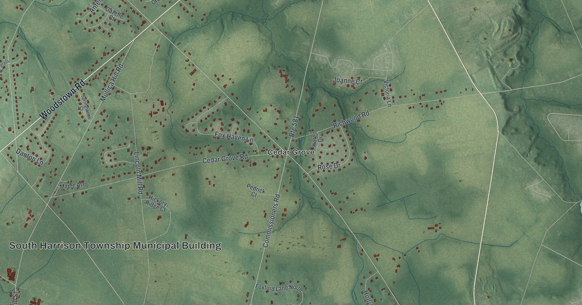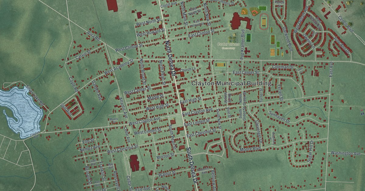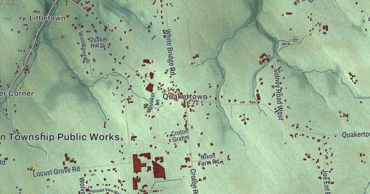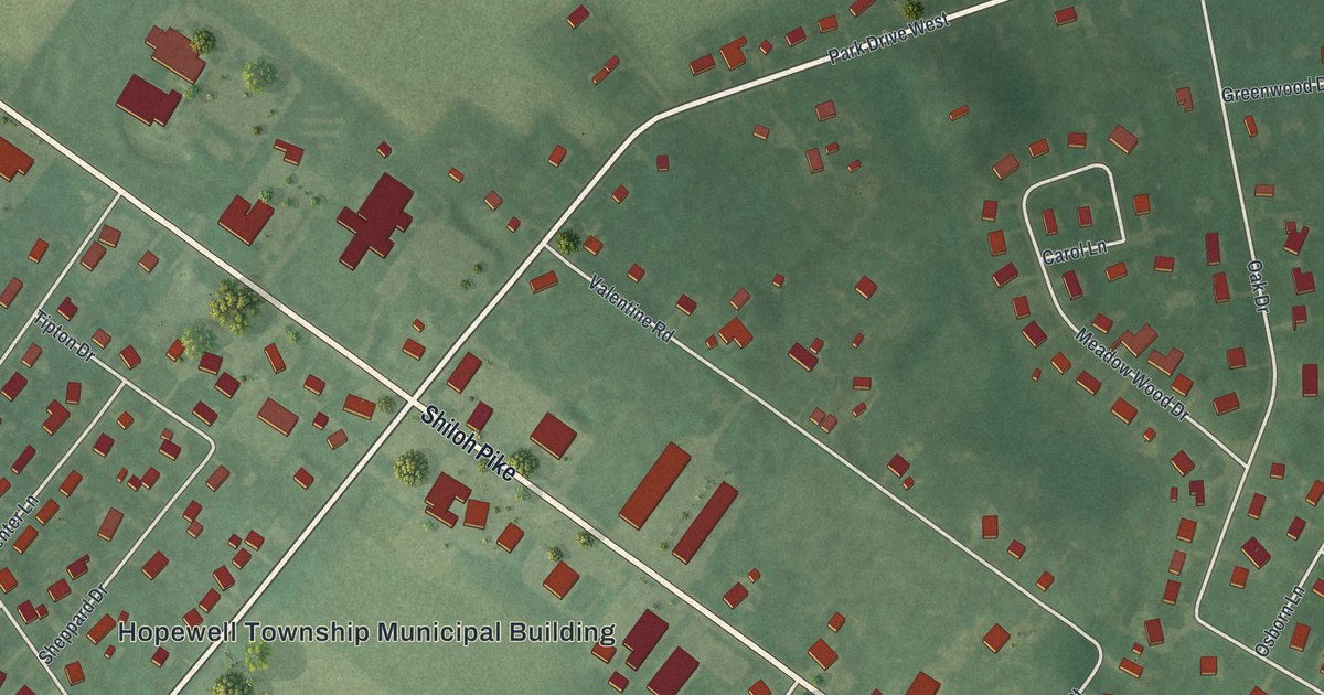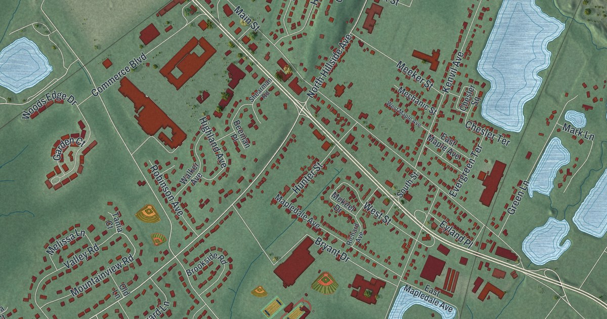
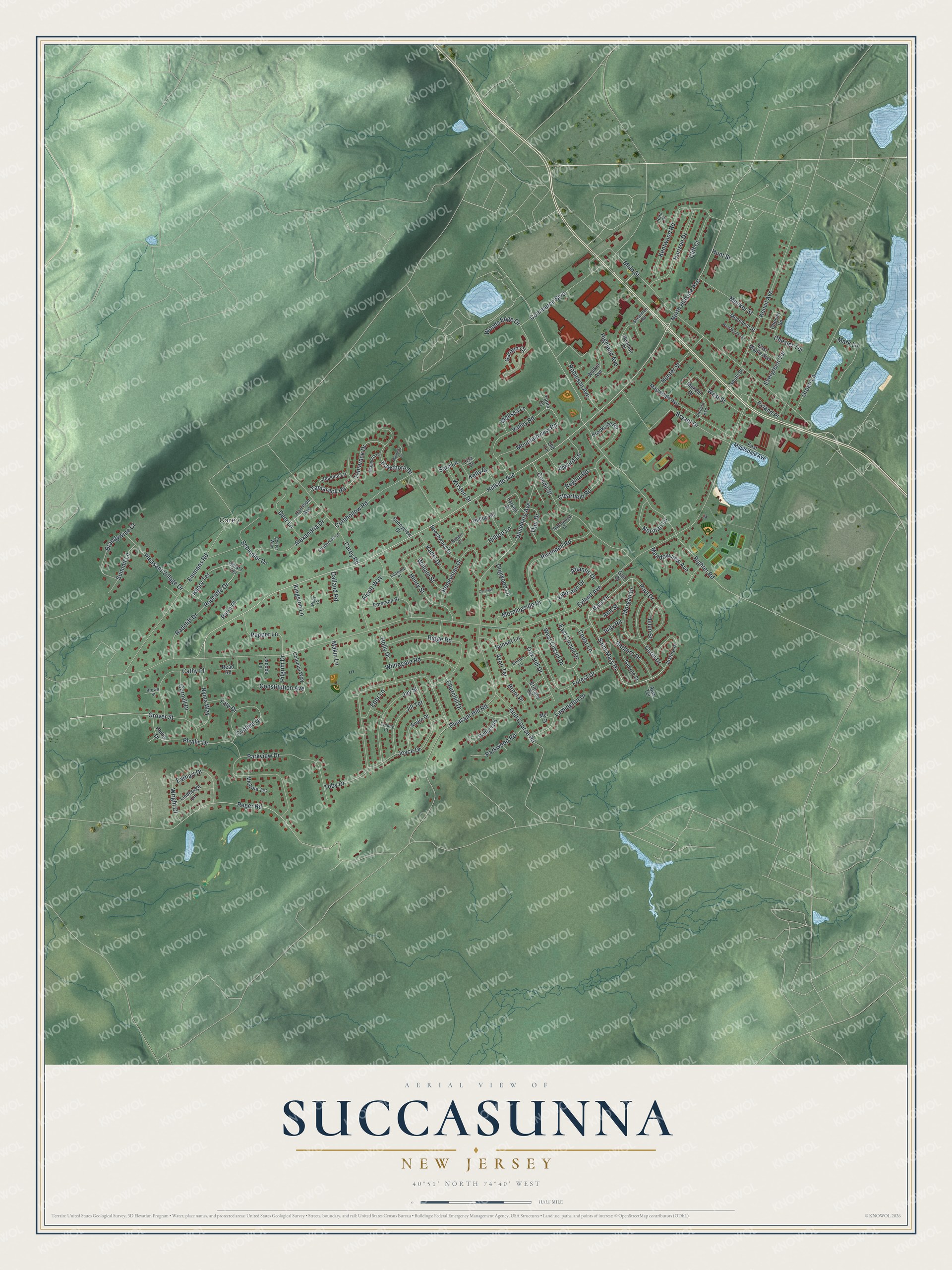
This beautifully detailed map of Succasunna, New Jersey was created in 2026 using aerial imagery combined with modern topographical, census, street and landmark data. It’s a one-of-a-kind view of Succasunna that combines accurate data with a vintage aesthetic. The map shows every building in its true location, many of the roads carry their names, and the shaded topographic relief shows the shape of the land.
Explore an aerial view of Succasunna, New Jersey
On the map you’ll find Carey, along with Hillside Avenue, Saint Mary Drive, Phyllis Drive, Bass Drive, Reger Road, and more. If you look closely you can even find your house accurately drawn in its correct location. Zoom in on the preview to look for yours.
Did You Know?
In the Lenape language, the name Succasunna means black stone, or iron ore. That ore was once plentiful here. Finding it led people to discover and mine the huge magnetite and hematite deposits of the surrounding region. That’s from the 1939 WPA guide to New Jersey.
Take a closer look at the Succasunna map
Names on this map
These names are printed on this map.
Places: Carey.
Streets and roads: Hillside Avenue, Saint Mary Drive, Phyllis Drive, Bass Drive, Reger Road, North Hillside Avenue, Righter Road, Unneberg Avenue, Eyland Avenue, Main Street, Toby Drive, Parkview Drive.
More street names, A to Z
Ajax Terrace, Alcott Way, Alexandria Drive, Alward Lane, Andre Drive, Ann Street, Applewood Drive, Atlantis Drive, Avon Terrace, Barbara Drive, Beechwood Drive, Beeman Place, Brandywine Court, Brent Place, Brittany Road, Brookside Road, Brown Street, Bryant Drive, Carey Road, Carol Drive, Carriage Lane, Cathy Place, Cedar Lane, Center Lane, Chesler Square, Chesler Terrace, Churchill Drive, Clearfield Road, Cliff Court, Colonial Way, Colony Court, Commerce Boulevard, Condit Street, Constitution Avenue, Cornell Drive, Cornhollow Road, Cynthia Drive, Dalland Road, Deer Lane, Dogwood Lane, Earhart Drive, East Circuit Drive, East Maple Avenue, East Mapledale Avenue, Edor Lane, Eldorado Drive, Emerson Place, Emmans Road, Evergreen Terrace, Exeter Way, Eyland Place, Forest Drive, Gail Drive, Garden Court, George Street, Golf Course Road, Green Lane, Grover Street, Harrison Avenue, Hawthorn Drive, Helen Street, Henry Street, Highland Avenue, Hilary Terrace, Hillary Terrace, Hilltop Lane, Hilltop Road, Holly Drive, Honeyman Drive, Horizon Drive, Hunter Street, Hunt Street, Jacobs Lane, Jay Street, Jessica Lane, Jill Terrace, Joyce Drive, Judy Road, Justine Place, Kadel Drive, Kelly Drive, Kentwood Road, Kenvil Avenue, Kingston Lane, Kristen Drive, Lamington Drive, Larsen Drive, Leonard Place, Lindbergh Lane, Lisa Court, Magnolia Court, Makin Lane, Mapledale Avenue, Mark Lane, Meadowview Avenue, Mechanic Street, Meeker Street, Mekeel Drive, Mel Court, Melissa Lane, Michele Terrace, Morgan Drive, Morningside Drive, Mountainview Road, Mulberry Court, Norman Lane, Nyma Way, Oak Hill Drive, Old Lane, Parkwood Road, Paul Drive, Pepper Lane, Perin Place, Phillis Drive, Pilgrim Drive, Pleasant Hill Road, Pleasant Village Drive, Putters Road, Radcliff Drive, Radcliffe Drive, Read Road, Regina Road, Richard Avenue, Ridge Road, Rivendell Road, Robert Court, Robinson Avenue, Ruby Court, Ruth Court, Sara Lane, Schindler Drive, Shearman Road, Shepherds Lane, South Street, Summit Lane, Sunnyview Drive, Sunset Lane, Tamarack Drive, Tamarack Road, Tania Court, Thor Drive, Valley Road, Walker Avenue, West Circuit Drive, West Maple Avenue, West Street, Whitegate Road, William Street, Woods Edge Drive, Wright Court, Yale Drive.
See it on a wall
The Succasunna map as an 18 x 24 inch print in a black frame.

This beautifully detailed map of Succasunna makes an attractive addition to your office, library, or den, and it can even be used to teach children the geography and history of the area. It also makes a great gift for anyone with Succasunna roots. When you’re done exploring, click here to get your copy of the Succasunna map.