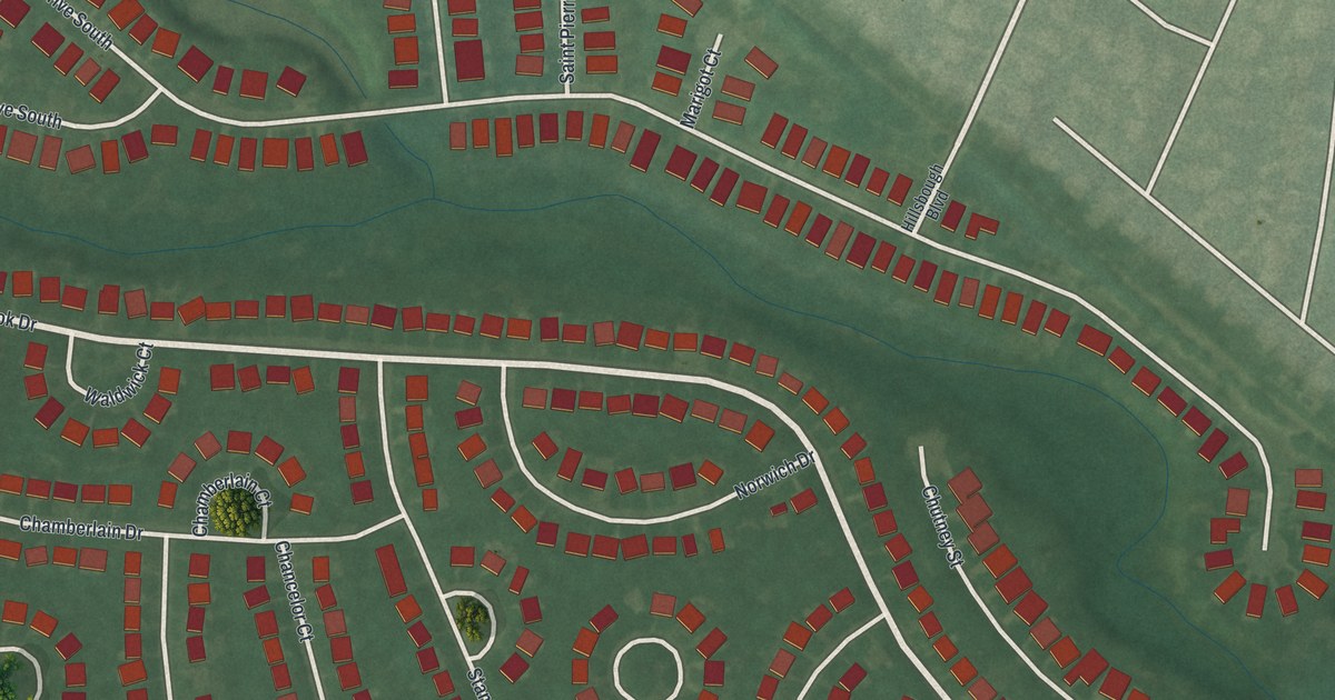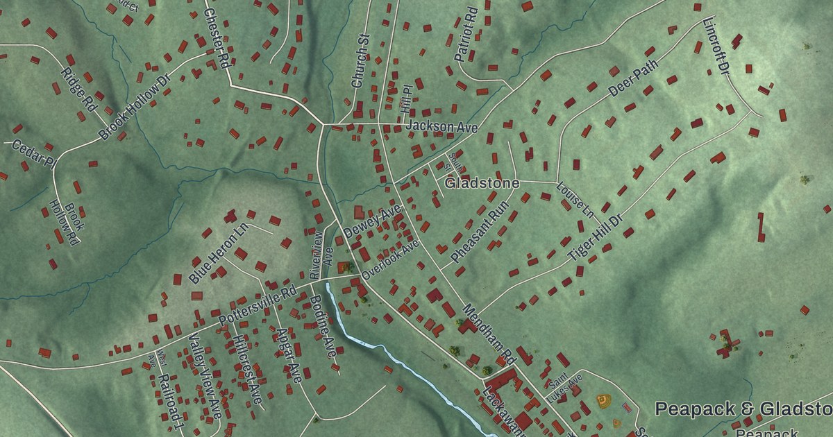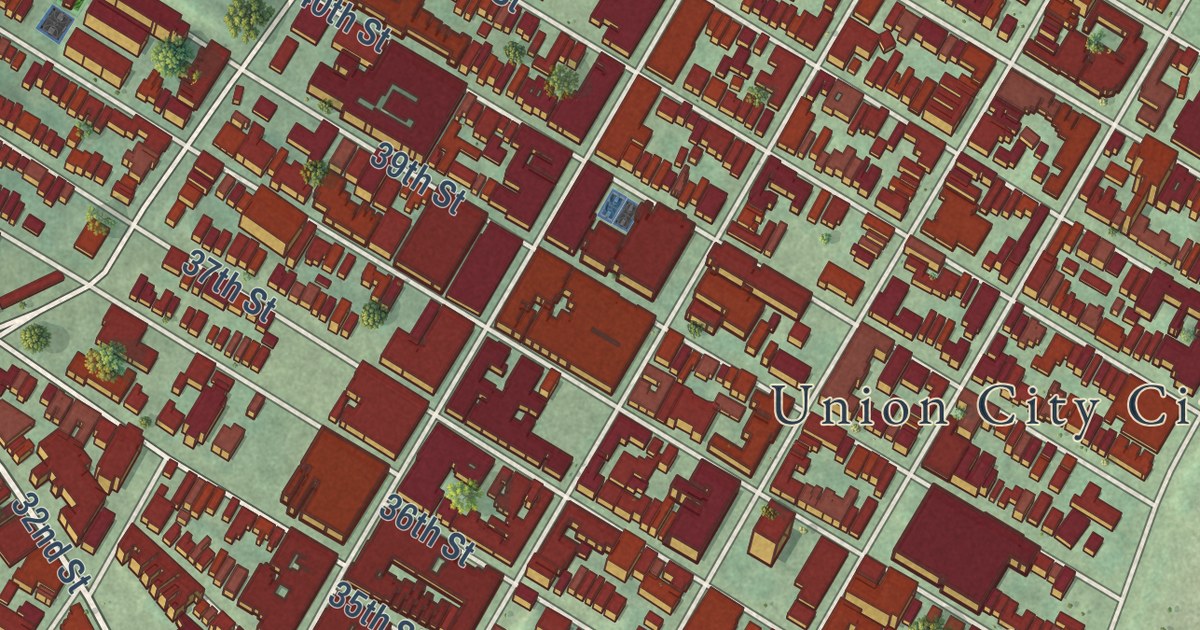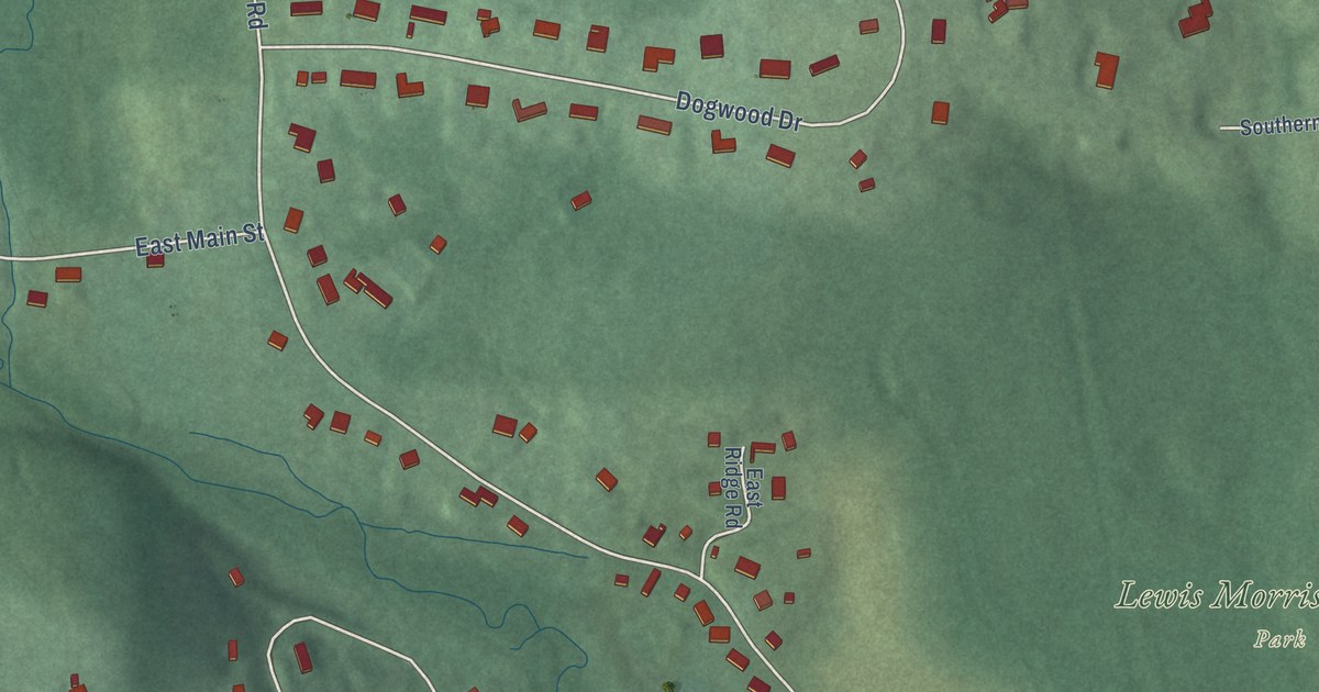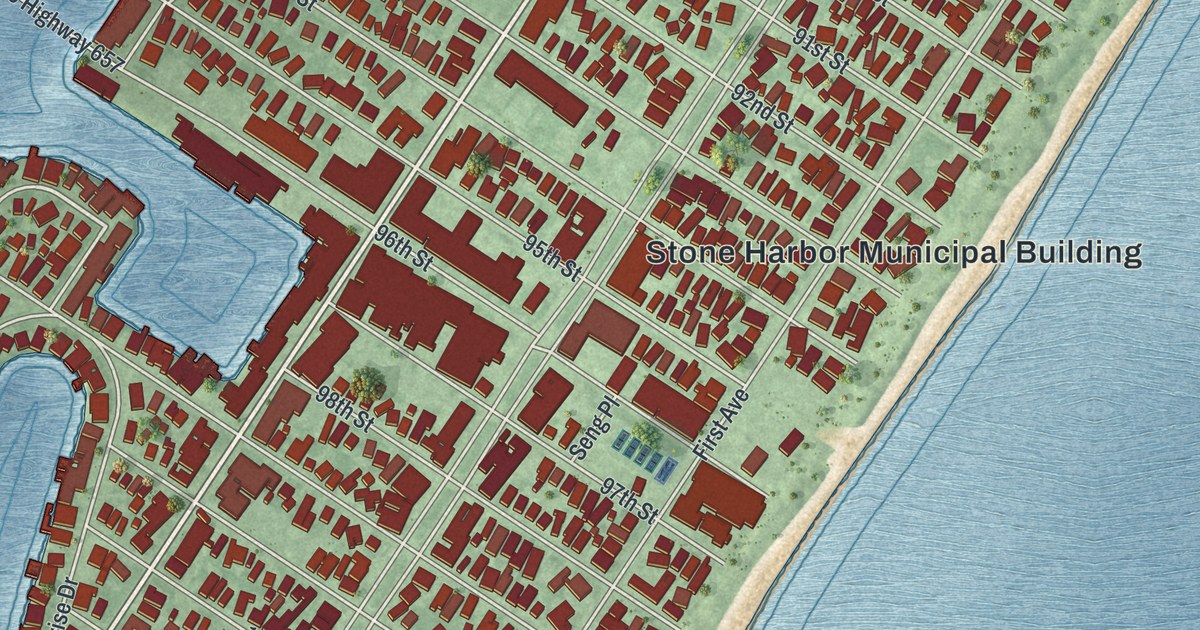
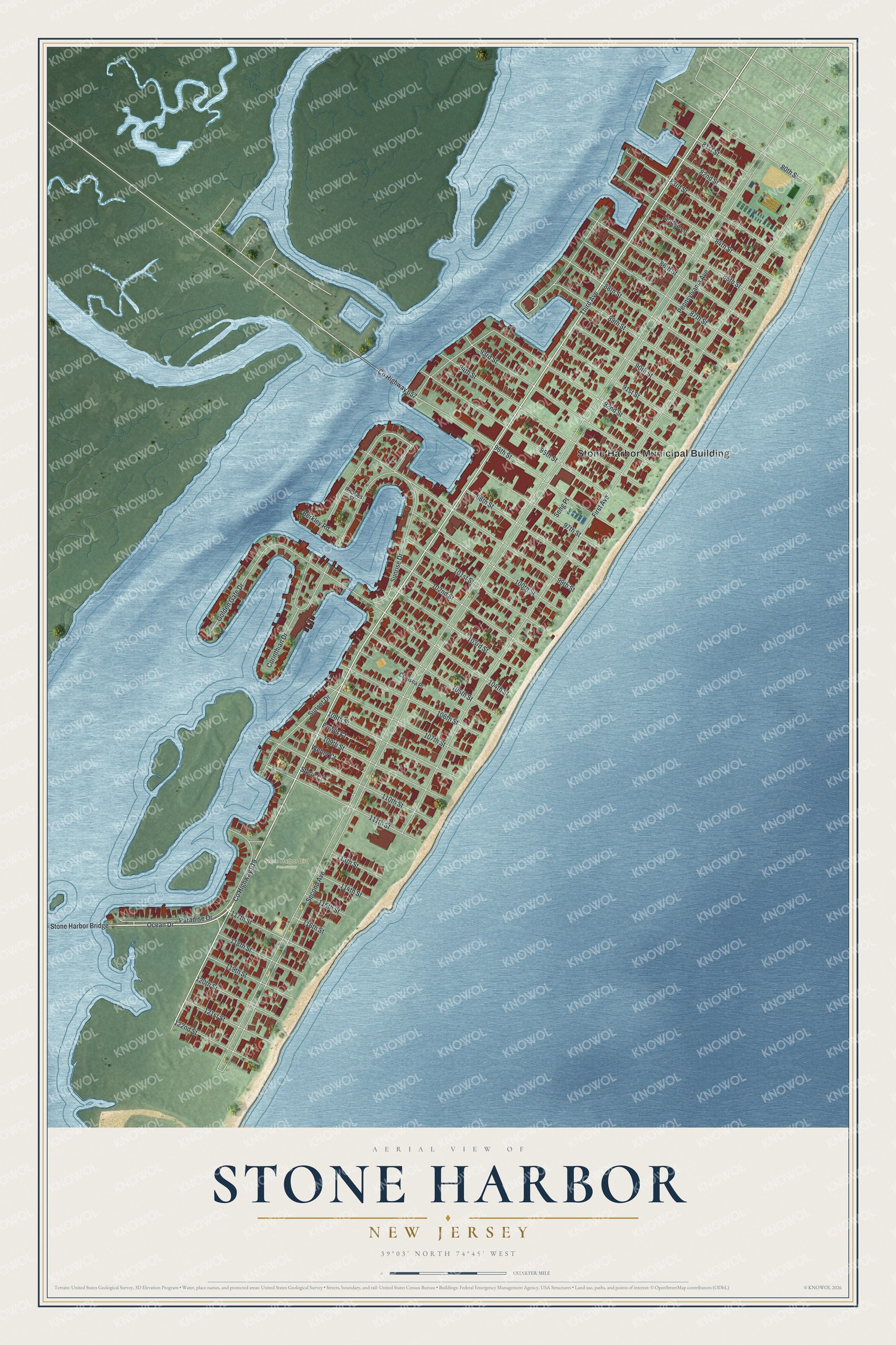
This beautifully detailed map of Stone Harbor, New Jersey was created in 2026 using aerial imagery combined with modern topographical, census, street and landmark data. It’s a one-of-a-kind view of Stone Harbor that combines accurate data with a vintage aesthetic. The map shows every building in its true location, many of the roads carry their names, and the shaded topographic relief shows the shape of the land.
Explore an aerial view of Stone Harbor, New Jersey
On the map you’ll find Stone Harbor Municipal Building and Stone Harbor Bird Sanctuary, along with Ocean Drive, Second Avenue, Third Avenue, First Avenue, and more. If you look closely you can even find your house accurately drawn in its correct location. Zoom in on the preview to look for yours.
Did You Know?
Stone Harbor began in the late 1800s as a seaside resort served by the West Jersey and Seashore Railroad. Promoters pitched it to rich Philadelphians who wanted a second home by the sea. The resort became a borough in 1914. Today its summer crowd tops 20,000 people.
Take a closer look at the Stone Harbor map
Names on this map
These names are printed on this map.
Places: Stone Harbor Municipal Building and Stone Harbor Bird Sanctuary.
Streets and roads: County Highway 619, Ocean Drive, 98th Street, Second Avenue, Third Avenue, First Avenue, Sunset Drive, 104th Street, 99th Street, Corinthian Drive, 94th Street, 96th Street.
More street names, A to Z
80th Street, 81st Street, 82nd Street, 83rd Street, 84th Street, 85th Street, 86th Street, 87th Street, 88th Street, 89th Street, 90th Street, 91st Street, 92nd Street, 93rd Street, 95th Street, 97th Street, 100th Street, 101st Street, 102nd Street, 103rd Street, 105th Street, 106th Street, 107th Street, 108th Street, 109th Street, 110th Street, 111th Street, 113th Street, 114th Street, 115th Street, 116th Street, 117th Street, 118th Street, 119th Street, 120th Street, 121st Street, 122nd Street, Berkley Road, Bower Court, Charles Street, Chelsea Place, County Highway 657, Golden Gate Drive, Linden Lane, Paradise Drive, Pennsylvania Avenue, Seng Place, Stone Court, Stone Harbor Bridge, Sunrise Drive, Weber Court.
See it on a wall
The Stone Harbor map as an 18 x 24 inch print in a black frame.

This beautifully detailed map of Stone Harbor makes an attractive addition to your office, library, or den, and it can even be used to teach children the geography and history of the area. It also makes a great gift for anyone with Stone Harbor roots. When you’re done exploring, click here to get your copy of the Stone Harbor map.