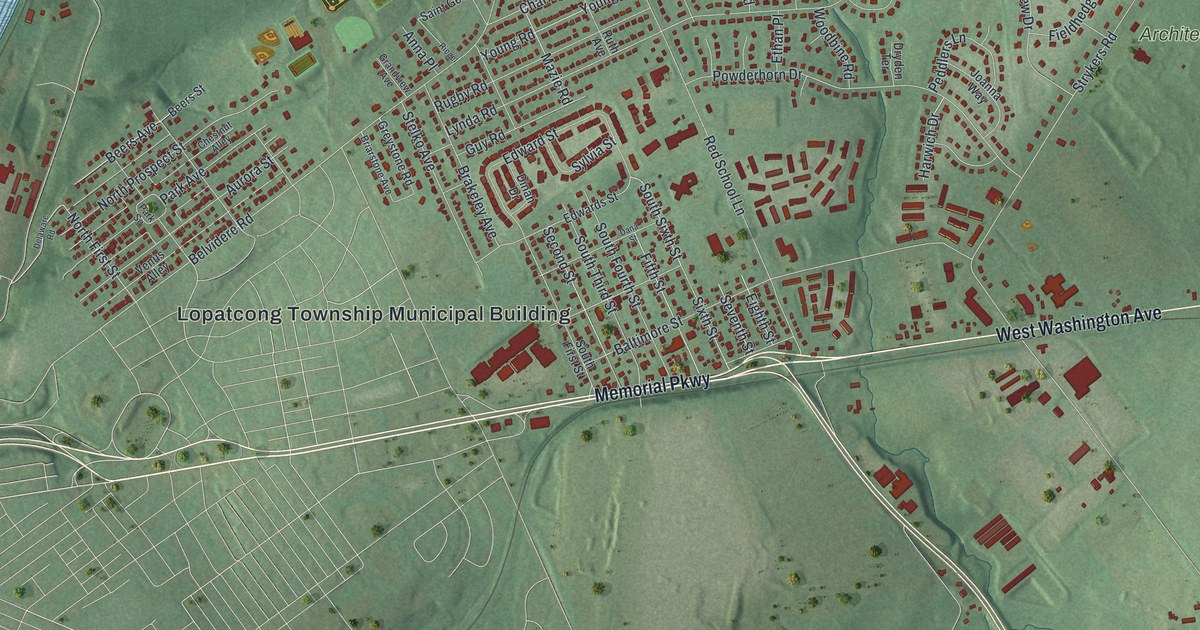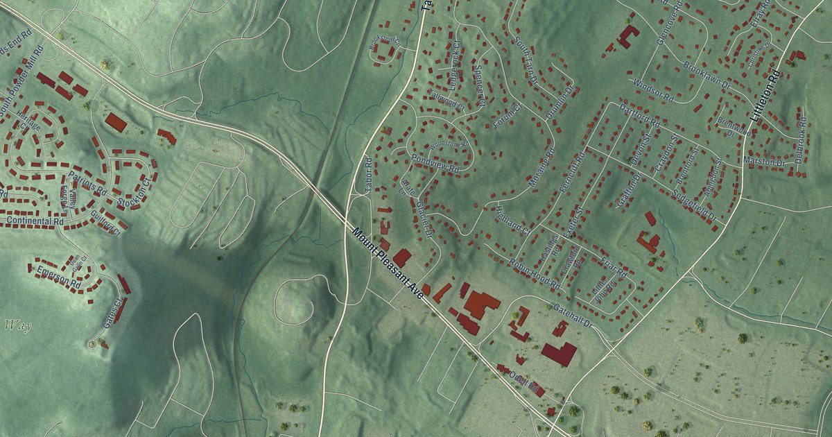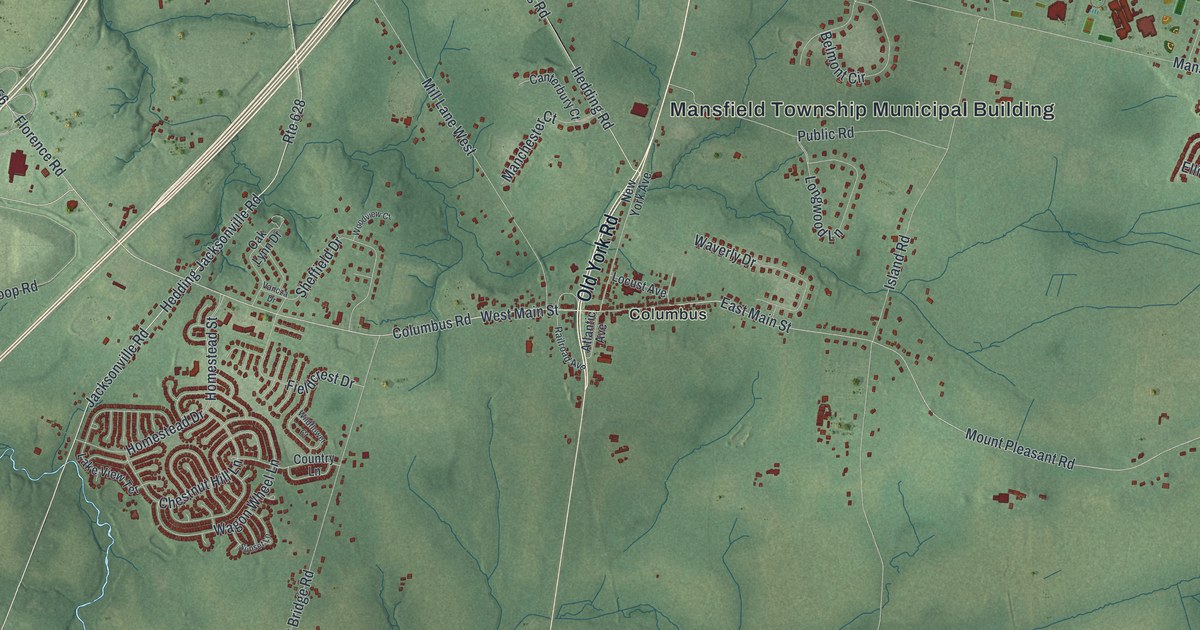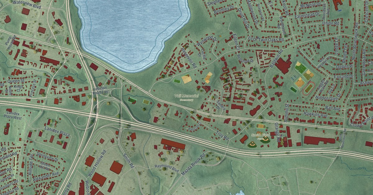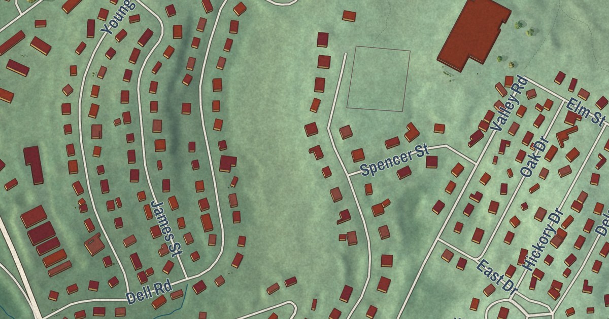
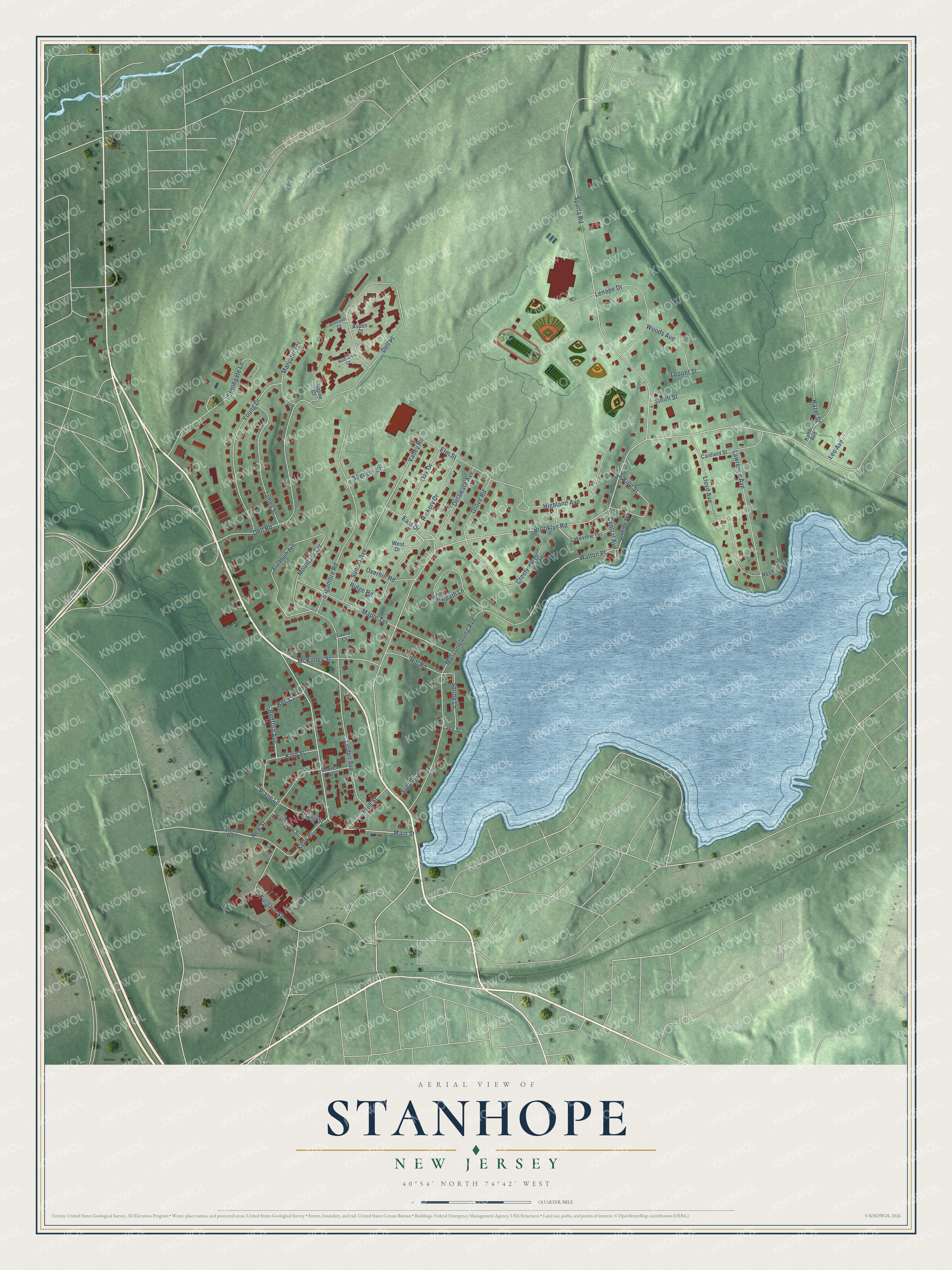
This beautifully detailed map of Stanhope, New Jersey was created in 2026 using aerial imagery combined with modern topographical, census, street and landmark data. It’s a one-of-a-kind view of Stanhope that combines accurate data with a vintage aesthetic. The map shows every building in its true location, many of the roads carry their names, and the shaded topographic relief shows the shape of the land.
Explore an aerial view of Stanhope, New Jersey
On the map you’ll find Stanhope Municipal Offices and Walton Place, along with East Drive, Bedford Avenue, Mountain Terrace, and more. If you look closely you can even find your house accurately drawn in its correct location. Zoom in on the preview to look for yours.
Did You Know?
Around 1841, the first anthracite furnace in the United States was built at Stanhope. Iron work here was much older. In Revolutionary years the village was home to the Sussex Iron Company. A few of its workers’ one-story houses, which looked like French peasant cottages, still stood in 1939. That’s from the 1939 WPA guide to New Jersey.
Take a closer look at the Stanhope map
Names on this map
These names are printed on this map.
Streets and roads: East Drive, Bedford Avenue, Walton Place, Valley Road, Mountain Terrace, Brooklyn Road, Sparta Road, Musconetcong Avenue, Dell Place, Main Street, Linden Avenue, Dell Road.
More street names, A to Z
Alpine Court, Ashland Court, Aspen Court, Audubon Court, Bell Court, Canfield Street, Central Avenue, Church Street, Crestview Drive, Delaware Avenue, Elizabeth Avenue, Elm Street, Furnace Street, Grove Road, Hazel Street, Hickory Drive, Highland Avenue, High Street, Hill Road, Hillside Avenue, James Street, Kelly Place, King Street, Kynor Avenue, Lake Street, Lakeview Terrace, Laura Court, Lawrence Avenue, Lenape Drive, Leo Avenue, Lepont Street, Lloyd Avenue, Maple Terrace, Maryann Terrace, McKinley Street, New Street, Oak Drive, Overhill Road, Plane Lane, Plane Street, Planeview Street, Reeve Avenue, Ridge Road, Sagamore Road, Smith Street, Spencer Street, Spring Lane, Spring Street, Stonegate Lane, Summit Street, Sunset Avenue, Towpath Lane, Waterloo Road, West Drive, Woods Avenue, Young Drive.
See it on a wall
The Stanhope map as an 18 x 24 inch print in a black frame.

This beautifully detailed map of Stanhope makes an attractive addition to your office, library, or den, and it can even be used to teach children the geography and history of the area. It also makes a great gift for anyone with Stanhope roots. When you’re done exploring, click here to get your copy of the Stanhope map.