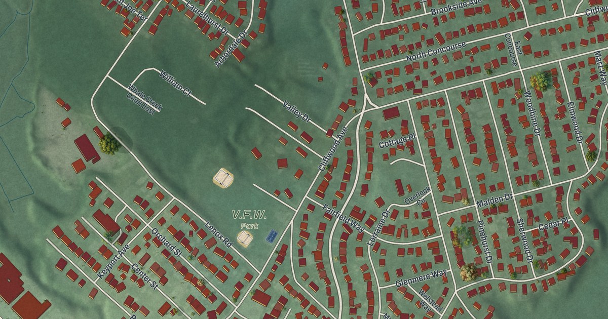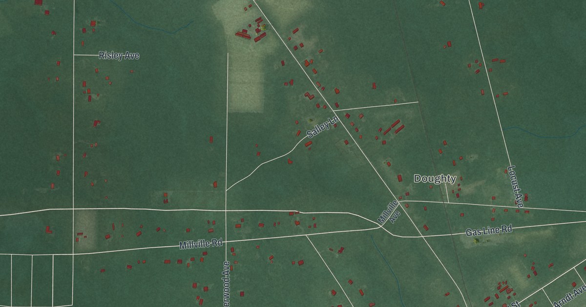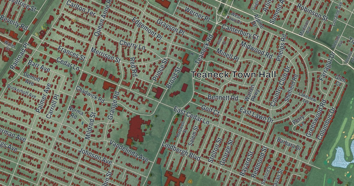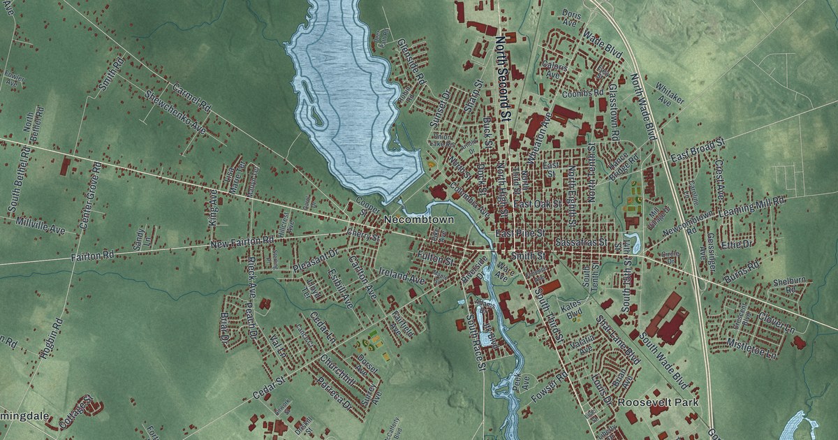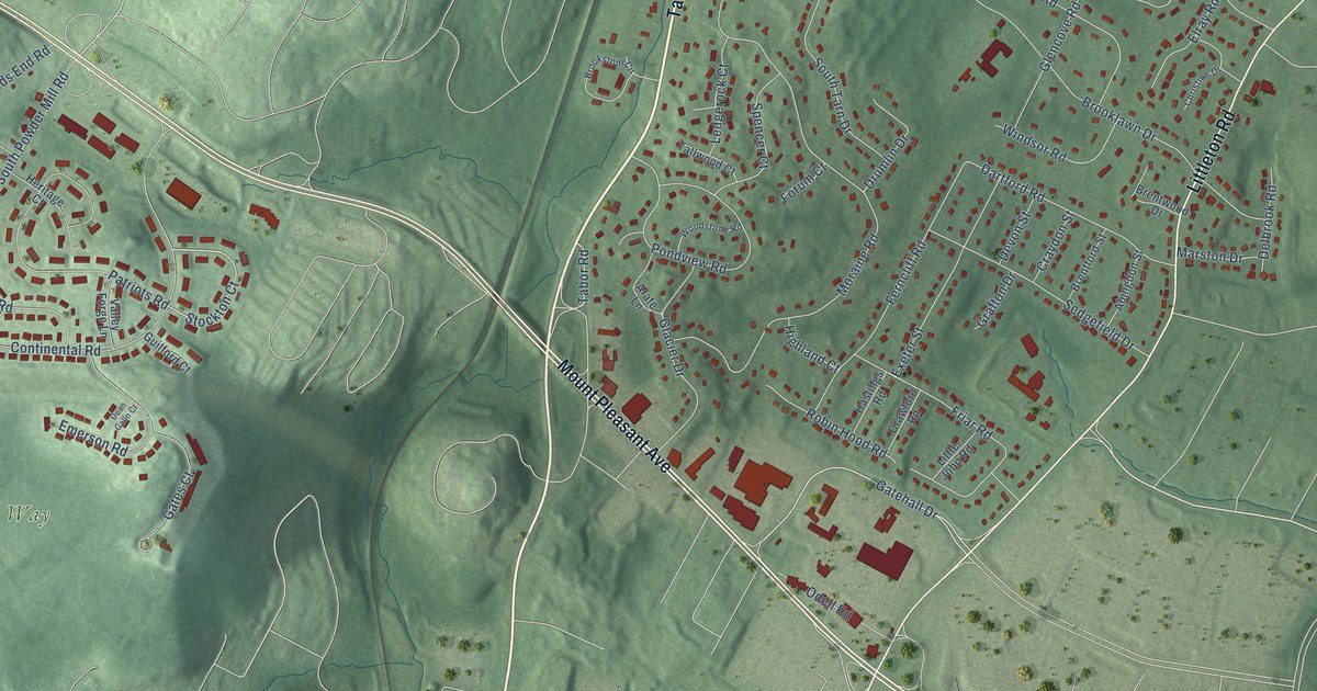
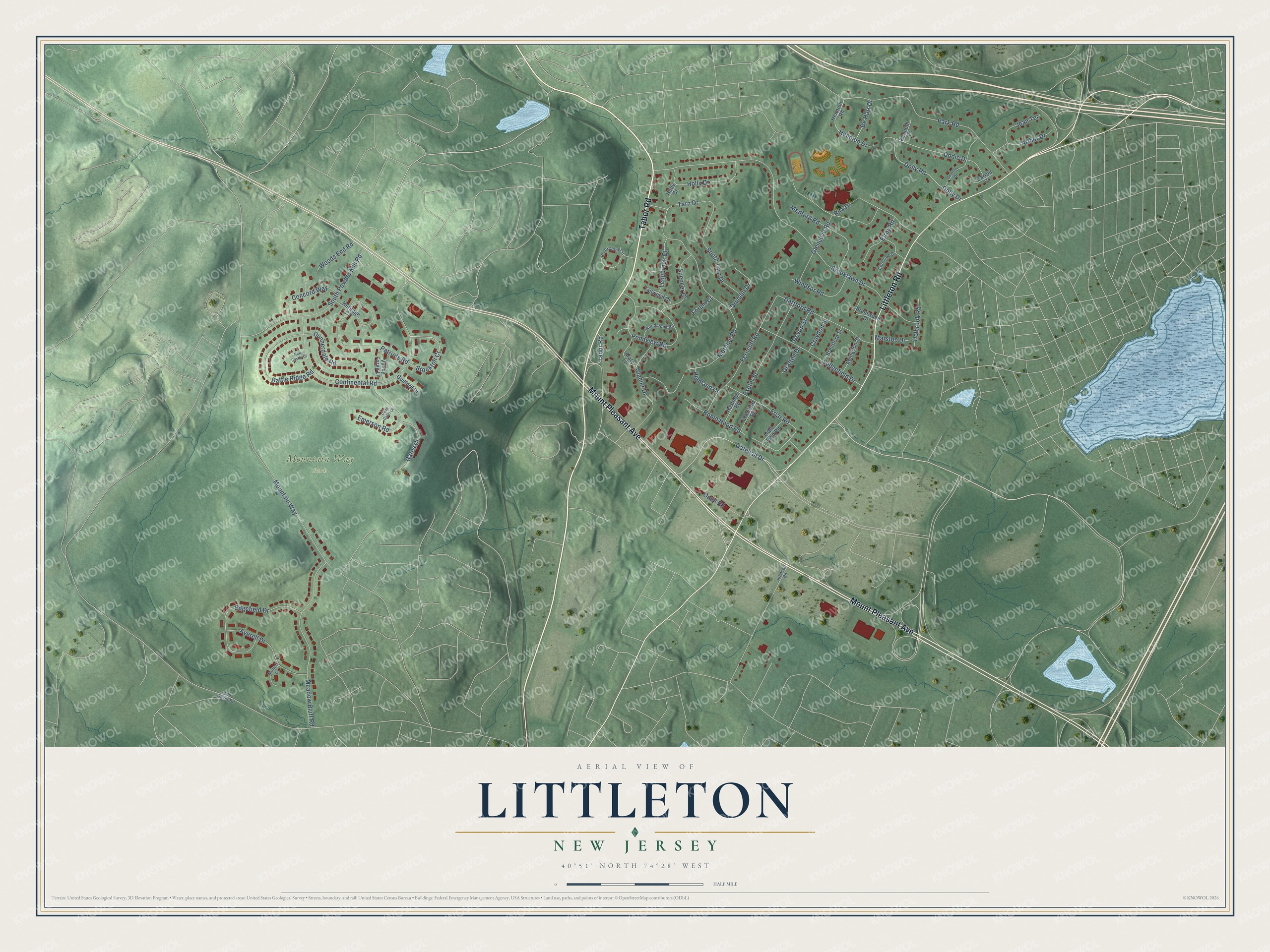
This beautifully detailed map of Littleton, New Jersey was created in 2026 using aerial imagery combined with modern topographical, census, street and landmark data. It’s a one-of-a-kind view of Littleton that combines accurate data with a vintage aesthetic. The map shows every building in its true location, many of the roads carry their names, and the shaded topographic relief shows the shape of the land.
Explore an aerial view of Littleton, New Jersey
On the map you’ll find Mountain Way Park, along with Tabor Road, Mount Pleasant Avenue, Littleton Road, Gatehall Drive, Stockton Court, Brooklawn Drive, Moraine Road, Continental Road, Park Road, Patriots Road, Meadow Bluff Road, and more. If you look closely you can even find your house accurately drawn in its correct location. Zoom in on the preview to look for yours.
Did You Know?
From Internet Archive: "Of his family of seven children, Daniel resided in Hanover, and Thomas settled in Littleton, where his granddaughter Eunice married William Rowe."
Littleton is a community in Morris County.
Take a closer look at the Littleton map
Names on this map
These names are printed on this map.
Places: Mountain Way Park.
Streets and roads: Tabor Road, Mount Pleasant Avenue, Littleton Road, Gatehall Drive, Stockton Court, Brooklawn Drive, Moraine Road, Continental Road, Park Road, Patriots Road, Meadow Bluff Road, South Powder Mill Road.
More street names, A to Z
Abingdon Street, Arate Lane, Arthur Drive, Averell Drive, Battle Ridge Road, Brentford Street, Brentwood Drive, Brookstone Circle, Carroll Court, Christine Drive, Concord Way, Crawford Road, Craydon Street, Dartford Road, Dean Gallo Court, De Hart Drive, Delbrook Road, Devon Street, Dodie Drive, Dolly Drive, Dolly Road, Drumlin Drive, Dunnerdale Road, Edgefield Drive, Elray Road, Emerson Road, Exeter Street, Ferncliff Road, Forum Court, Friar Road, Gates Court, Geoffrey Drive, Glacier Drive, Glencove Road, Grafton Drive, Guilford Court, Hastings Road, Hennion Drive, Hennion Road, Heritage Court, Highland Court, Holly Court, Holly Drive, Jean Terrace, Johnson Road, Kenneth Lane, Ledgerock Court, Little John Road, Marston Drive, Medford Road, Monett Court, Mountain Way, New Castle Court, Odell Road, Old Dover Road, Pondview Road, Rita Drive, Robin Hood Road, Sedgefield Drive, South Tarn Drive, Spencer Court, Tallwood Court, Tarn Drive, Valley Forge Lane, Windsor Road, Woods End Road, Woodstone Road.
See it on a wall
The Littleton map as a framed print. Swipe for more.


This beautifully detailed map of Littleton makes an attractive addition to your office, library, or den, and it can even be used to teach children the geography and history of the area. It also makes a great gift for anyone with Littleton roots. When you’re done exploring, click here to get your copy of the Littleton map.