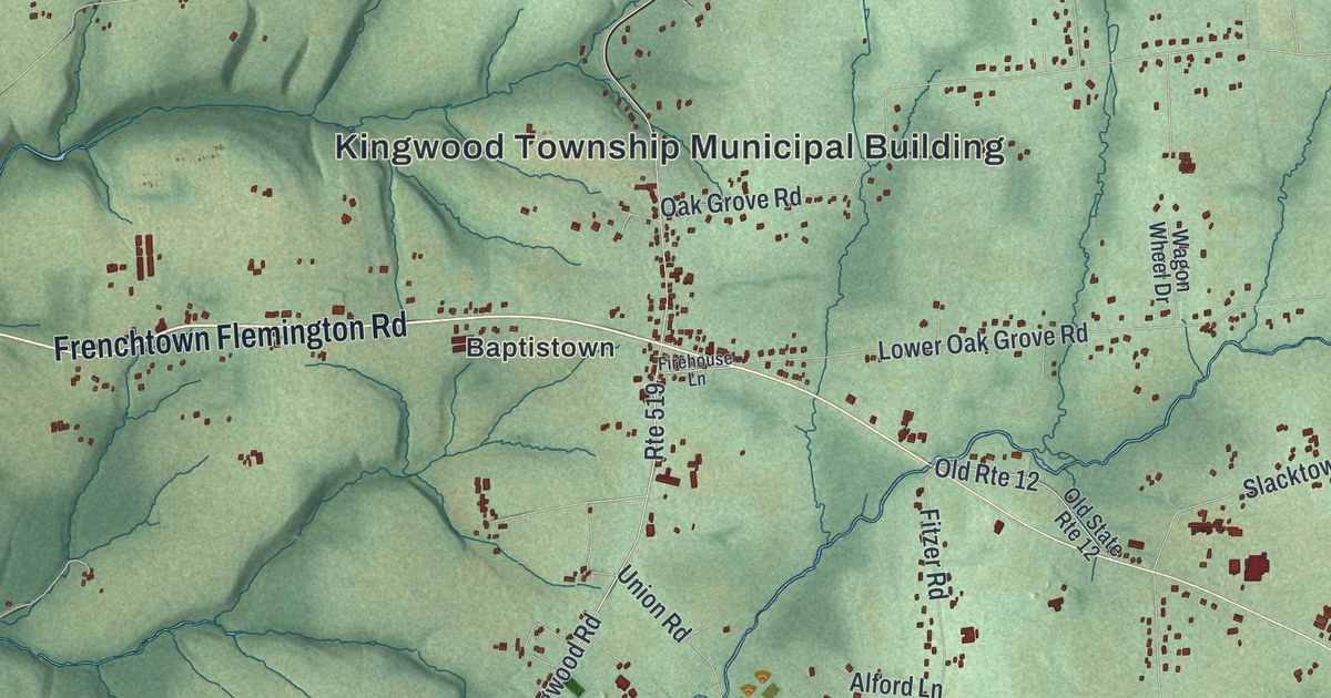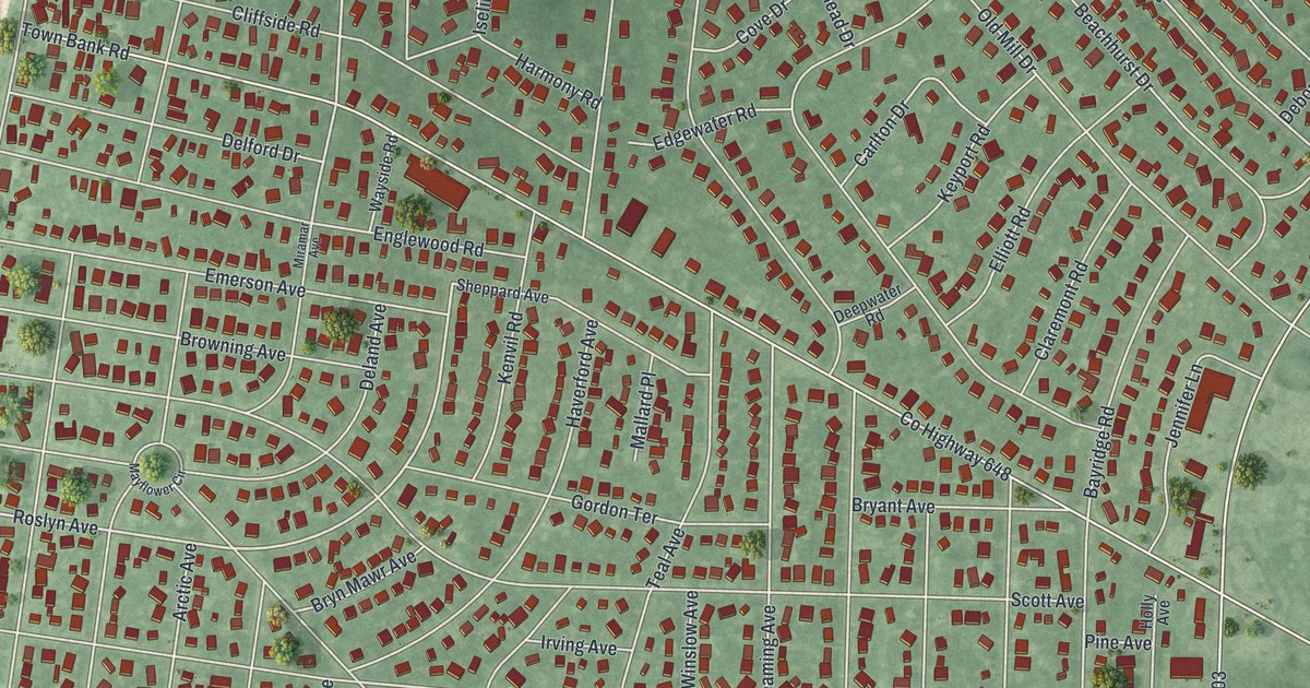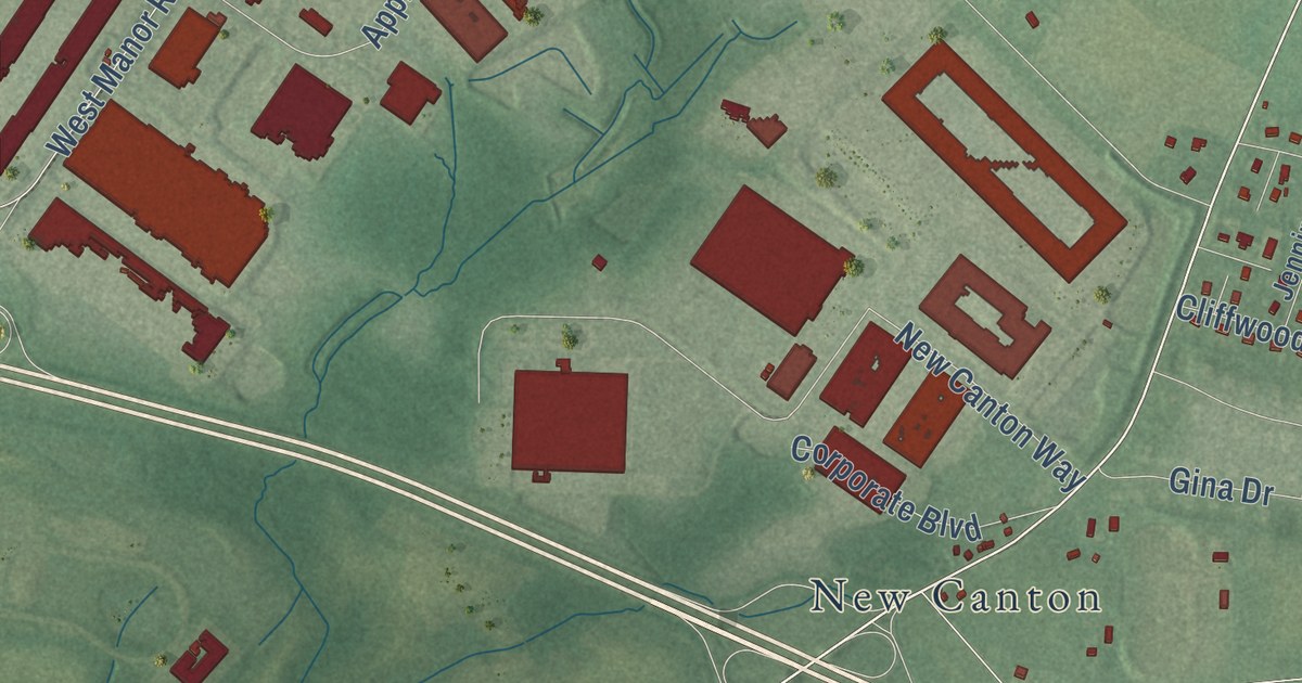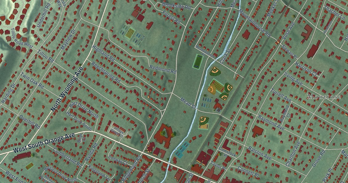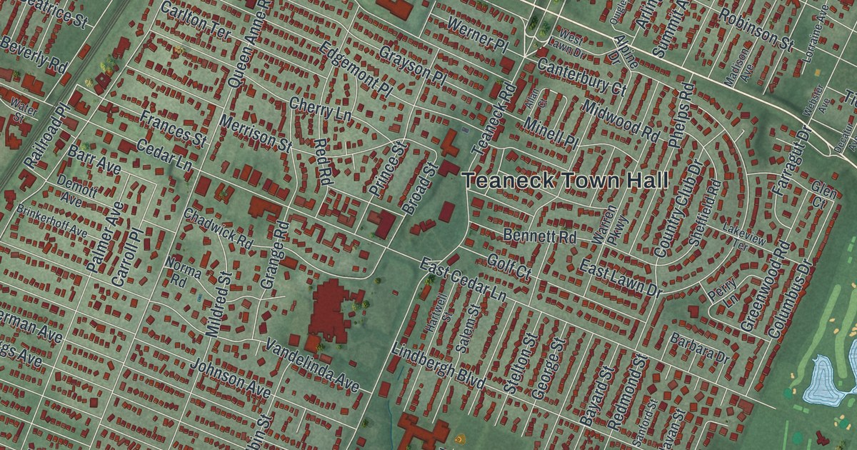
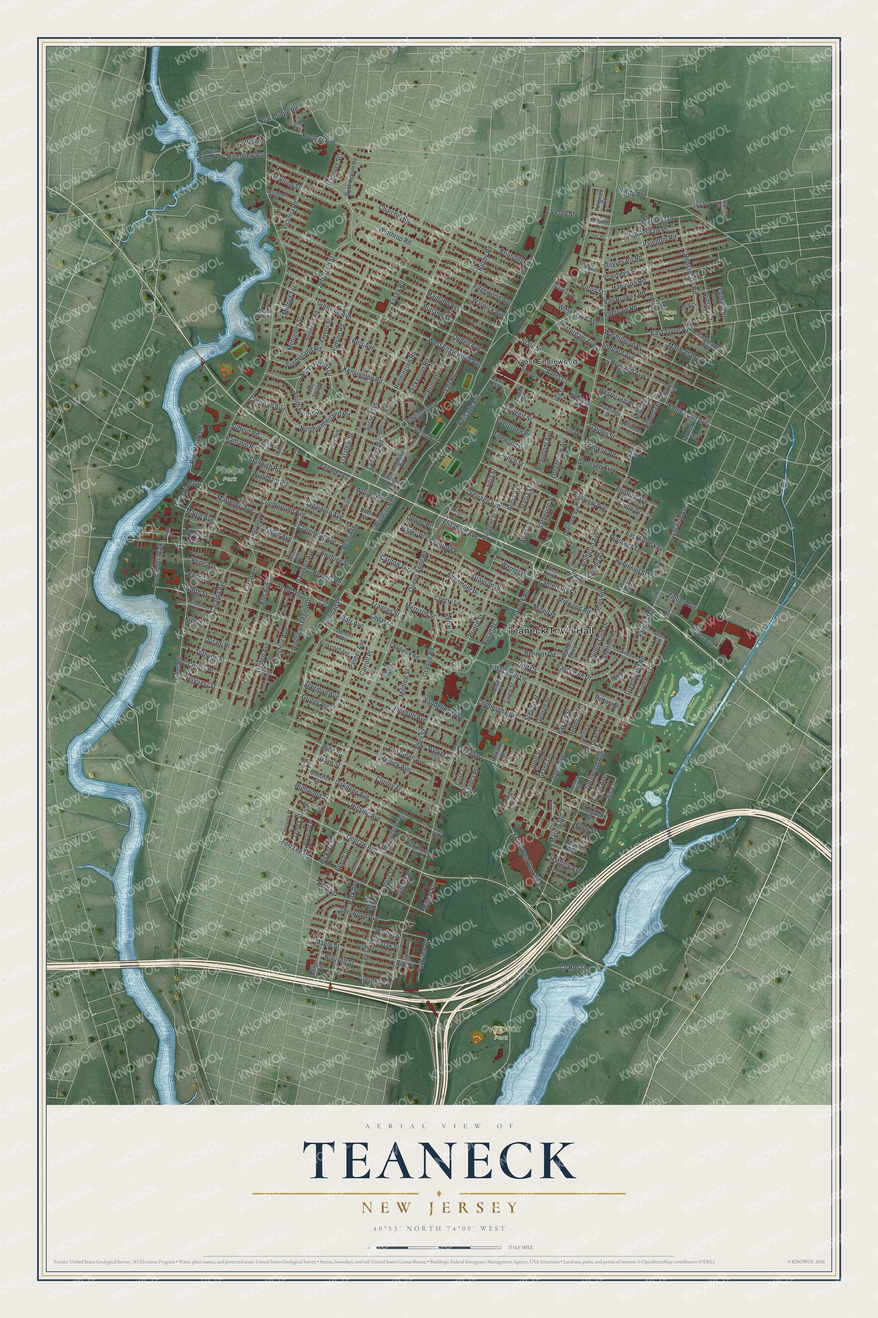
This beautifully detailed map of Teaneck, New Jersey was created in 2026 using aerial imagery combined with modern topographical, census, street and landmark data. It’s a one-of-a-kind view of Teaneck that combines accurate data with a vintage aesthetic. The map shows every building in its true location, many of the roads carry their names, and the shaded topographic relief shows the shape of the land.
Explore an aerial view of Teaneck, New Jersey
On the map you’ll find Teaneck Town Hall, Railroad Place, West Englewood, Overpeck Park, Phelps Park, and Tryon Park, along with Degraw Avenue, Forest Drive, Teaneck Road, and more. If you look closely you can even find your house accurately drawn in its correct location. Zoom in on the preview to look for yours.
Did You Know?
Teaneck made national history in 1965. After a long struggle over segregation in housing and schools, its voters chose to integrate their schools. No court had ordered it. Teaneck became the first community in the country where a white majority voted for school integration on its own. Resident Reginald G. Damerell later told the story in a 1968 book.
Take a closer look at the Teaneck map
Names on this map
These names are printed on this map.
Places: Teaneck Town Hall, Overpeck Park, Phelps Park, Tryon Park and West Englewood.
Streets and roads: Degraw Avenue, North Forest Drive, South Forest Drive, Railroad Place, Teaneck Road, Queen Anne Road, Palisade Avenue, River Road, Windsor Road, Cedar Lane, West Englewood Avenue, Winthrop Road.
More street names, A to Z
Albin Street, Alfred Avenue, Alicia Avenue, Allan Court, Alma Terrace, Alpine Drive, American Legion Drive, Amsterdam Avenue, Anna Street, Ardsley Court, Arlington Avenue, Ayers Court, Barbara Drive, Barr Avenue, Bayard Street, Beatrice Street, Beaumont Avenue, Bedford Avenue, Beech Street, Belle Avenue, Bennett Road, Bergen Avenue, Beveridge Street, Beverly Road, Billington Road, Bilton Street, Birch Street, Blauvelt Street, Bogert Street, Briarcliff Road, Brinkerhoff Avenue, Broad Street, Bromley Avenue, Bryant Avenue, Buckingham Road, Buffett Terrace, Byng Street, Cane Street, Canterbury Court, Carlton Terrace, Carroll Place, Catalpa Avenue, Center Place, Chadwick Road, Cherry Lane, Chestnut Avenue, Chestnut Place, Churchill Road, Church Street, Circle Drive, Claremont Avenue, Columbus Drive, Copley Avenue, Cornwall Avenue, Cottage Place, Country Club Drive, County Route 33, Court Street, Cranford Place, Crestview Place, Cumberland Avenue, Decatur Avenue, Delavan Street, Demott Avenue, Dewey Place, Dickerson Road, Downing Street, East Cedar Lane, East Forest Avenue, East Lawn Drive, East Maple Street, East Tryon Avenue, Edgemont Place, Edgewood Avenue, Elizabeth Avenue, Elm Avenue, Elmer Place, Emerson Avenue, Englewood Avenue, Essex Road, Evergreen Place, Fabry Terrace, Fairfield Street, Fairidge Terrace, Fairview Avenue, Farragut Drive, Farrant Terrace, Fayette Street, Fenimore Road, Forest Avenue, Fort Lee Road, Frances Street, Franklin Road, Frank West Burr Boulevard, Fycke Lane, Gail Court, Galway Place, Garden Street, Garrison Avenue, Genesee Avenue, George Street, Gifford Place, Glen Court, Glenwood Avenue, Golf Court, Grace Terrace, Grange Road, Grant Terrace, Grayson Place, Greenwood Road, Grenville Avenue, Griggs Avenue, Grove Street, Hamilton Road, Hanover Street, Harding Avenue, Hargreaves Avenue, Hartwell Street, Hawthorne Avenue, Henry Street, Herrick Avenue, Hickory Street, Highwood Street, Hillcrest Street, Hillside Avenue, Hill Street, Hirliman Road, Home Street, Howard Street, Howland Avenue, Hubert Terrace, Hudson Road, Intervale Road, Irene Court, Iris Court, Irvington Road, Ivy Court, Ivy Lane, James Street, Jasper Avenue, Jefferson Street, Johnson Avenue, John Street, Julia Street, Katherine Street, Kensington Road, Kent Avenue, Kenwood Place, Kings Court, Kipp Street, Lakeview Terrace, Lambert Road, Larch Avenue, Laurel Terrace, Lees Avenue, Lerome Place, Liberty Road, Lilbet Road, Lincoln Place, Lindbergh Boulevard, Linden Avenue, Locust Street, Lone Pine Lane, Longfellow Avenue, Longview Court, Loraine Avenue, Lorraine Avenue, Lowell Court, Lucy Avenue, Madison Avenue, Magnolia Road, Maitland Avenue, Manhattan Avenue, Maple Avenue, Maple Street, Margaret Street, Marine Court, Marion Street, Martense Avenue, Mercedes Street, Merrison Street, Midwood Road, Mildred Street, Milford Terrace, Minell Place, Morningside Terrace, Munn Avenue, Nelden Road, New Bridge Road, Norma Road, North Street, Northumberland Road, Oakdene Avenue, Oakland Court, Oak Street, Ogden Avenue, Old New Bridge Road, Orchard Street, Oritani Place, Overlook Avenue, Palmer Avenue, Park Avenue, Parker Lane, Parkview Drive, Penn Avenue, Pennington Road, Perry Lane, Phelps Road, Pine Street, Pinewood Place, Pleasant Place, Pomander Walk, Prince Street, Princeton Road, Prospect Terrace, Public Row, Puffin Way, Queens Court, Quigley Court, Ramapo Road, Redmond Street, Red Road, Reis Avenue, Rensselaer Road, Riverview Avenue, River Walk Lane, Robinson Street, Roemer Avenue, Roosevelt Street, Rugby Road, Rutland Avenue, Sackville Street, Sagamore Avenue, Salem Street, Sandra Place, Sanford Street, Schley Place, Selvage Avenue, Sheffield Road, Shepard Avenue, Sherman Avenue, Sherwood Avenue, Somerset Road, Spring Street, Spruce Street, Standish Road, Stasia Street, State Street, Stelton Street, Stuyvesant Road, Suffern Road, Summit Avenue, Sunderland Road, Sussex Road, Taft Road, Terhune Street, The Strand, Tietjen Avenue, Tilden Avenue, Trafalgar Street, Union Circle, Van Arsdale Place, Van Buren Avenue, Van Buskirk Road, Van Cortland Terrace, Vandelinda Avenue, Vesey Street, Victoria Road, Voorhees Street, Walnut Street, Walraven Drive, Ward Plaza, Warren Parkway, Warwick Avenue, Washburn Street, Washington Place, Water Street, Webster Avenue, Wendel Place, Werner Place, Westervelt Place, Westgate Road, West Laurelton Parkway, West Lawn Drive, West Tryon Avenue, Williams Avenue, Willow Street, Wilson Avenue, Woodbine Street, Woods Road, Wyndham Road.
See it on a wall
The Teaneck map as an 18 x 24 inch print in a black frame.

This beautifully detailed map of Teaneck makes an attractive addition to your office, library, or den, and it can even be used to teach children the geography and history of the area. It also makes a great gift for someone who left Teaneck and still calls it home. When you’re done exploring, click here to get your copy of the Teaneck map.