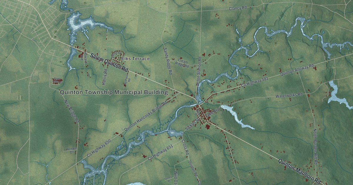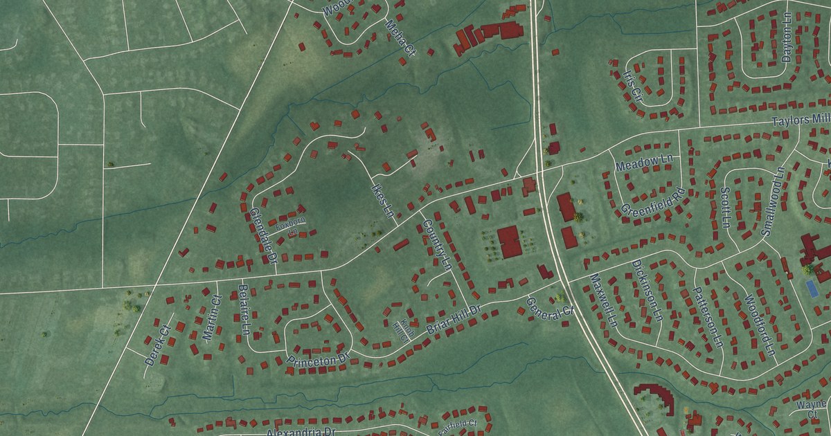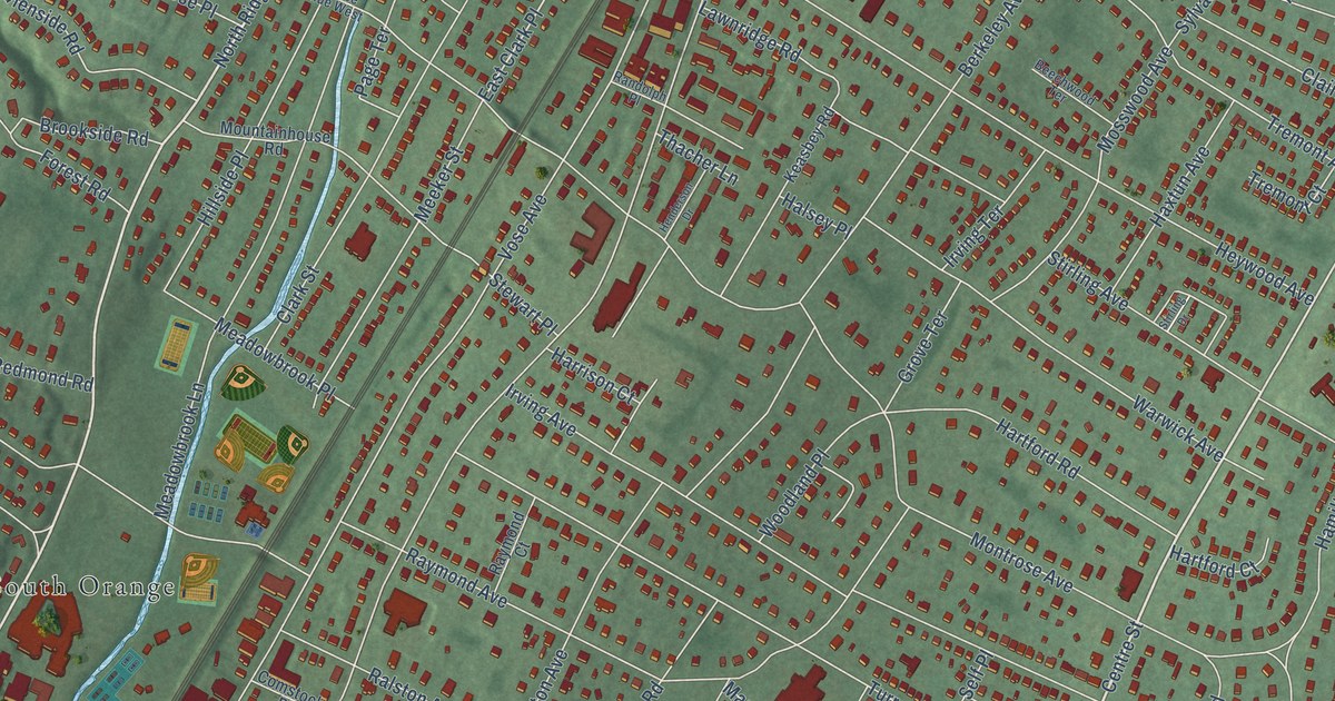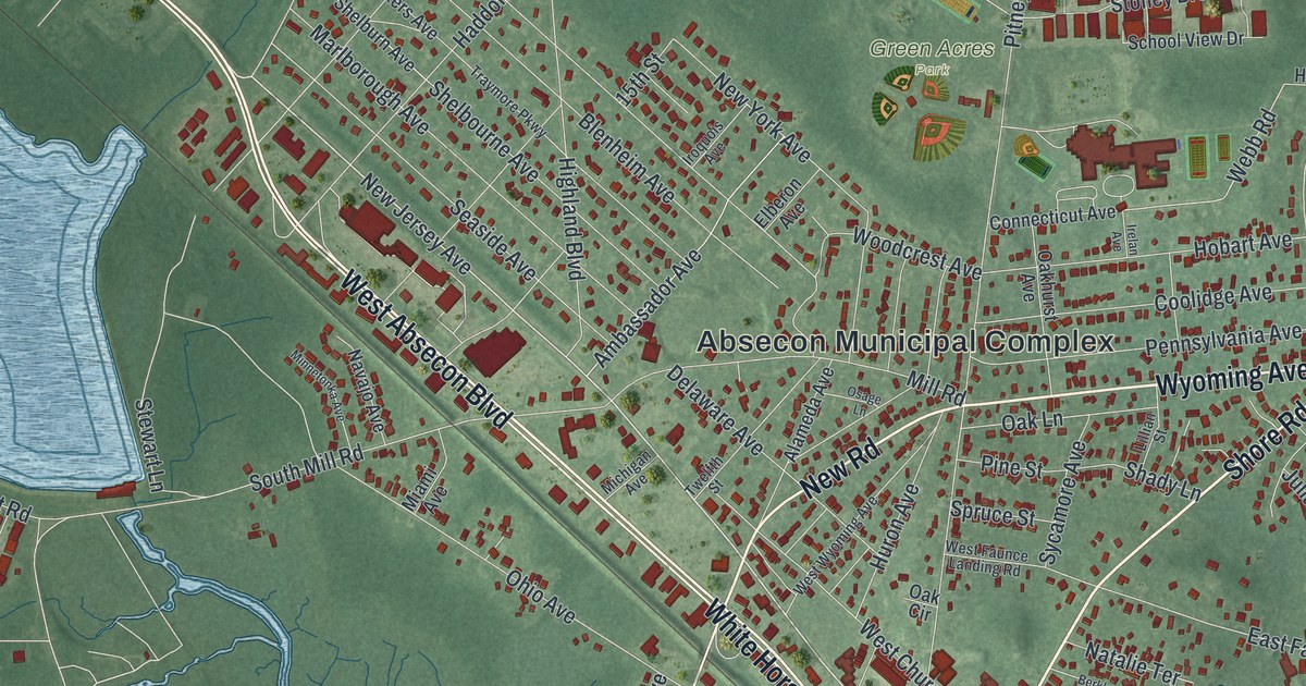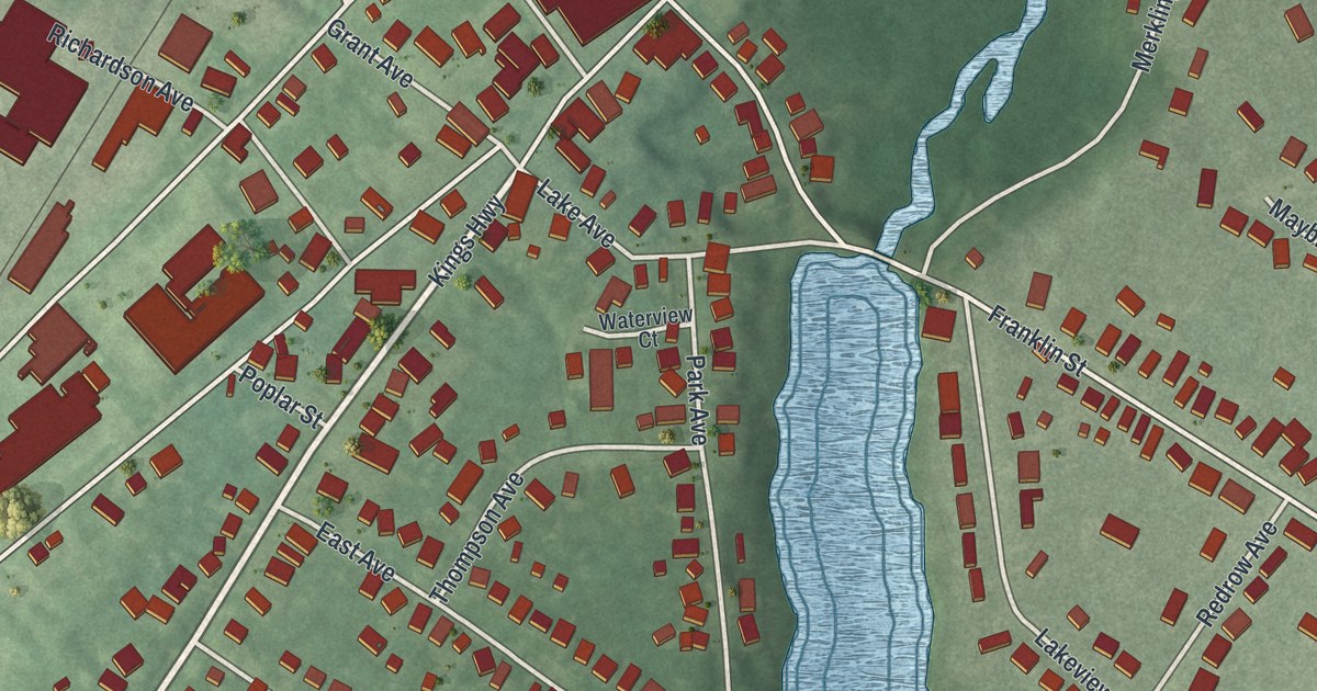
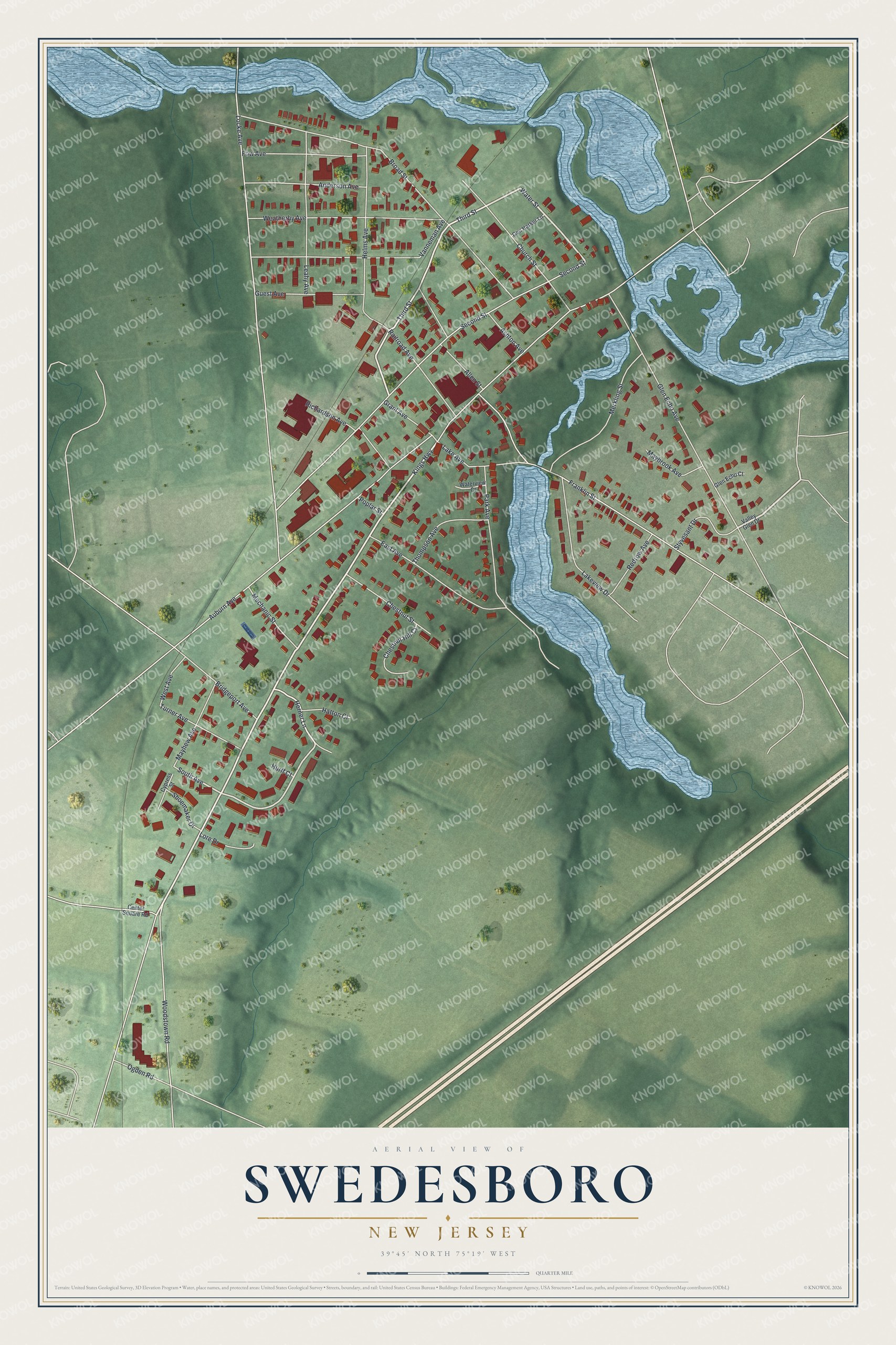
This beautifully detailed map of Swedesboro, New Jersey was created in 2026 using aerial imagery combined with modern topographical, census, street and landmark data. It’s a one-of-a-kind view of Swedesboro that combines accurate data with a vintage aesthetic. The map shows every building in its true location, many of the roads carry their names, and the shaded topographic relief shows the shape of the land.
Explore an aerial view of Swedesboro, New Jersey
On the map you’ll find Third Street, Water Street, South Avenue, Kings Highway, Locke Avenue, and more. If you look closely you can even find your house accurately drawn in its correct location. Zoom in on the preview to look for yours.
Did You Know?
Swedesboro is one of the oldest Swedish settlements in New Jersey. Its first name was Raccoon. Until the Revolution it was the Swedish center of the whole region. It was also an important stop on the stagecoach line between Salem and Camden. That’s from the 1939 WPA guide to New Jersey.
Take a closer look at the Swedesboro map
Names on this map
These names are printed on this map.
Streets and roads: Third Street, Water Street, South Avenue, Kings Highway, Locke Avenue, Second Street, Broad Street, Auburn Avenue, Glen Echo Avenue, Franklin Street, Vanneman Avenue, Weatherby Avenue.
More street names, A to Z
Allen Street, Anderson Avenue, Ashton Avenue, Bridgeport Avenue, Center Square Road, Chestnut Hill Court, Chestnut Street, Church Street, Cypress Street, East Avenue, Fow Avenue, Gen Harker Lane, Glen Echo Court, Grant Avenue, Guest Avenue, Hatton Court, Helms Avenue, Horner Lane, Hurff Court, Lake Avenue, Lakeview Drive, Leahy Avenue, Lore Drive, Maybrook Avenue, Mayhew Avenue, Mechanic Street, Merkling Street, Ogden Road, Park Avenue, Poplar Street, Railroad Avenue, Redrow Avenue, Richardson Avenue, Shoemaker Drive, Styvesant Drive, Thompson Avenue, Turner Avenue, Valley Glen Drive, Waterview Court, West Avenue, Woodstown Road.
See it on a wall
The Swedesboro map as an 18 x 24 inch print in a black frame.

This beautifully detailed map of Swedesboro makes an attractive addition to your office, library, or den, and it can even be used to teach children the geography and history of the area. It also makes a great gift for someone who left Swedesboro and still calls it home. When you’re done exploring, click here to get your copy of the Swedesboro map.