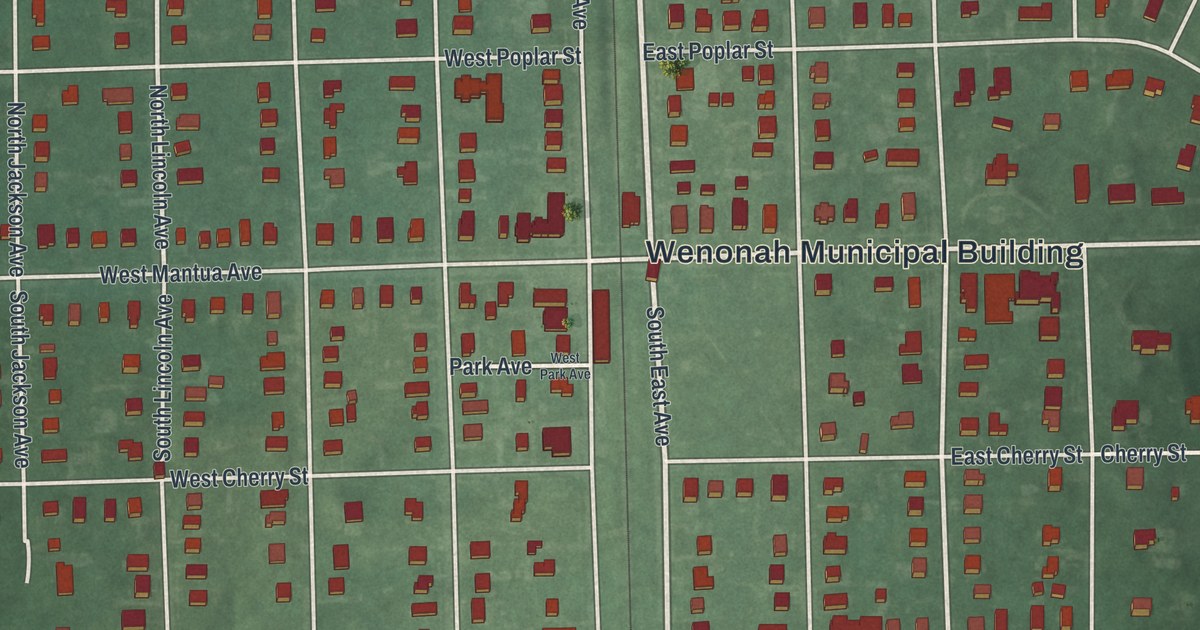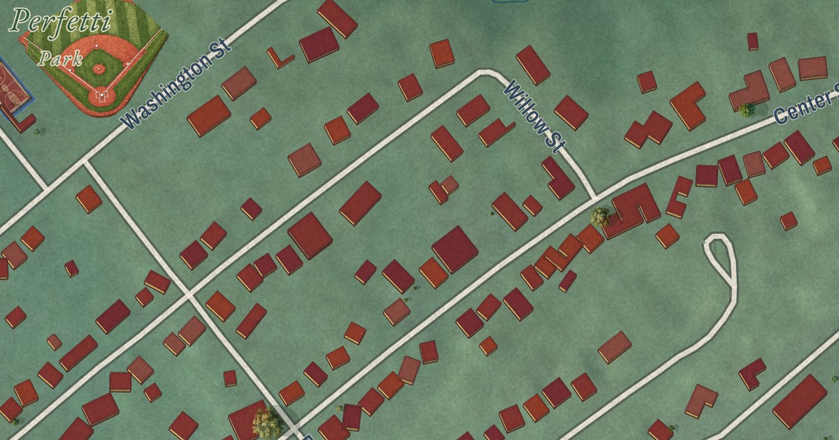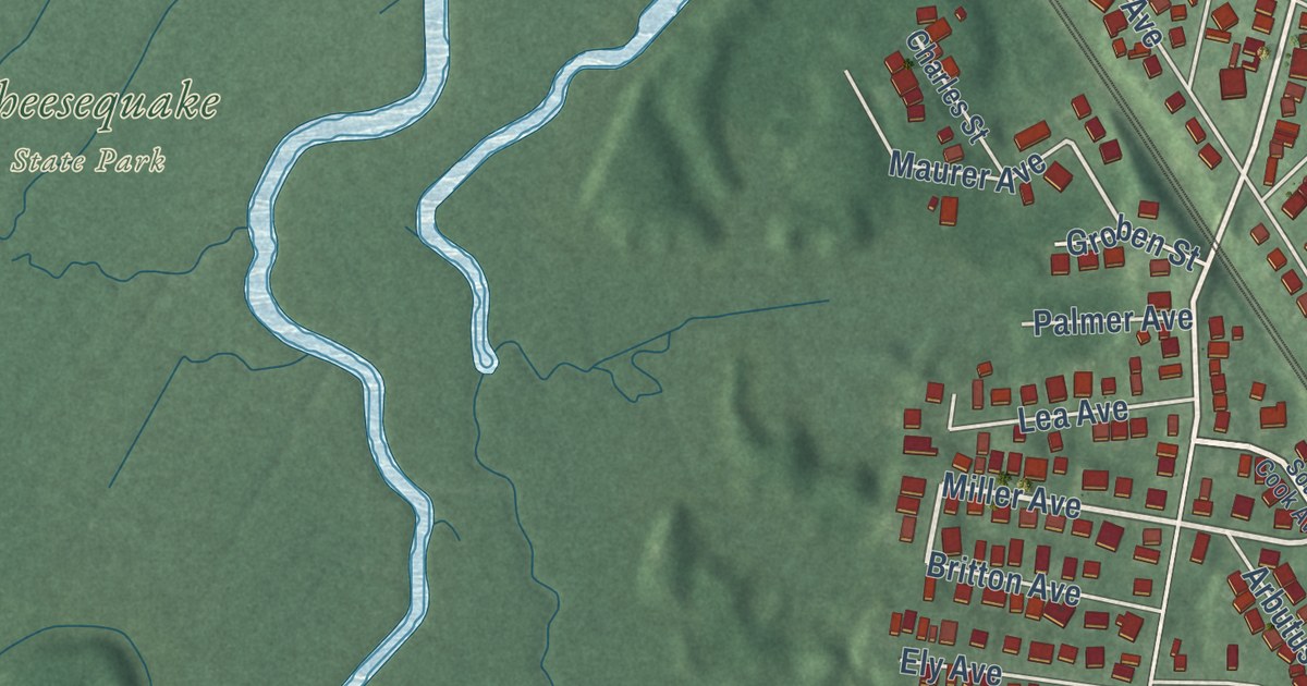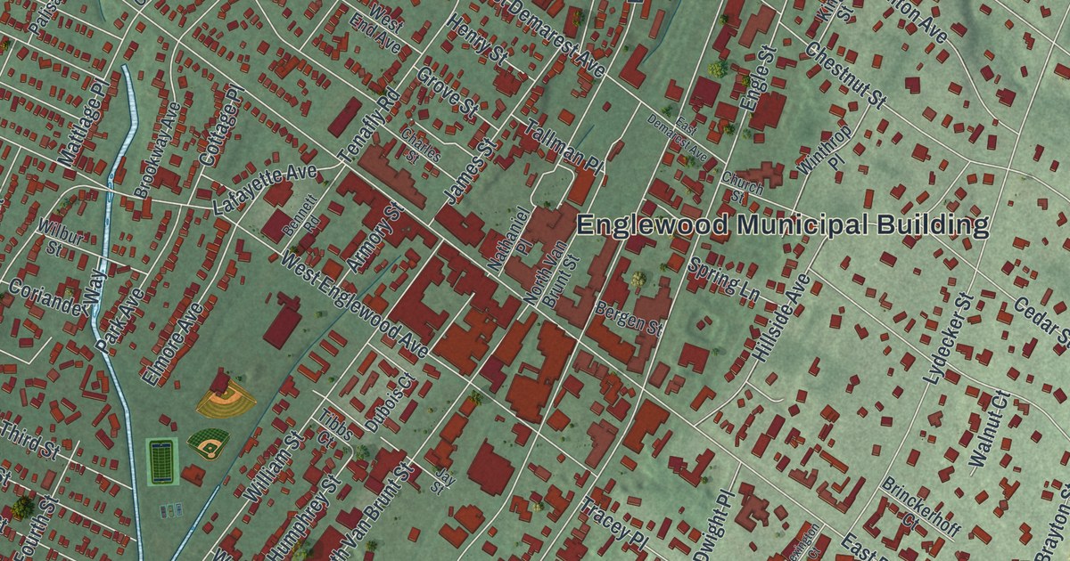
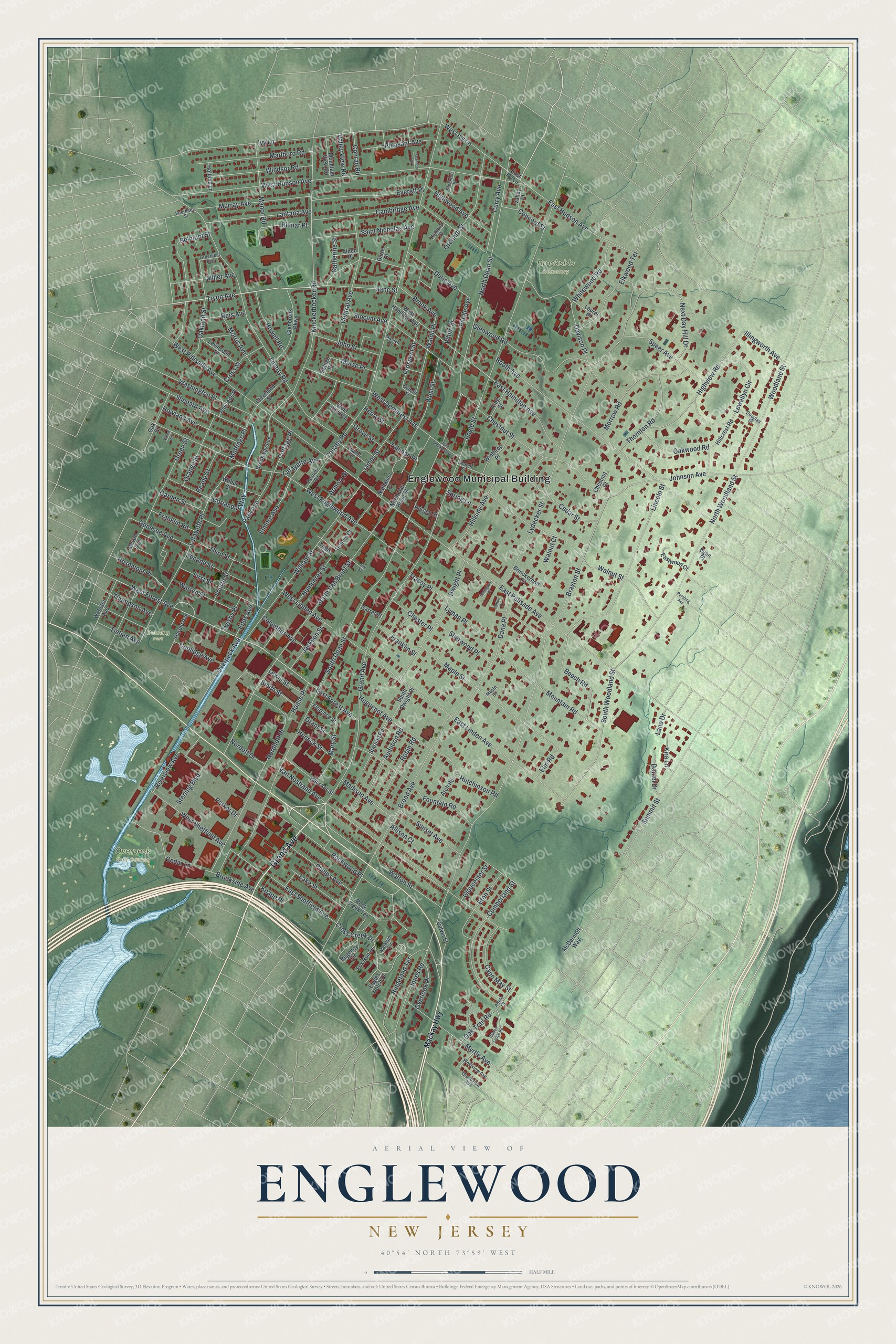
This beautifully detailed map of Englewood, New Jersey was created in 2026 using aerial imagery combined with modern topographical, census, street and landmark data. It’s a one-of-a-kind view of Englewood that combines accurate data with a vintage aesthetic. The map shows every building in its true location, many of the roads carry their names, and the shaded topographic relief shows the shape of the land.
Explore an aerial view of Englewood, New Jersey
On the map you’ll find Englewood Municipal Building, Brookside Cemetery, Overpeck Golf Course, and Denning Park, along with Grand Avenue, Tryon Avenue, West Forest Avenue, Jones Road, South Dean Street, North Dean Street, East Palisade Avenue, Tenafly Road, and more. If you look closely you can even find your house accurately drawn in its correct location. Zoom in on the preview to look for yours.
Did You Know?
Englewood was the first place where the public could dial long-distance calls directly. On November 10, 1951, Mayor M. Leslie Denning dialed the first customer long-distance call. He reached Mayor Frank Osborne of Alameda, California, with no operator’s help.
Take a closer look at the Englewood map
Names on this map
These names are printed on this map.
Places: Englewood Municipal Building, Brookside Cemetery, Overpeck Golf Course and Denning Park.
Streets and roads: Grand Avenue, Tryon Avenue, West Forest Avenue, Jones Road, South Dean Street, North Dean Street, East Palisade Avenue, Tenafly Road, Engle Street, Lydecker Street, West Hudson Avenue, West Englewood Avenue.
More street names, A to Z
Adele Court, Alden Place, Allison Court, Arch Road, Armory Street, Audubon Road, Bancker Street, Beech Road, Belmont Street, Bennett Road, Bergen Street, Bilmar Place, Booth Avenue, Brayton Street, Brinckerhoff Court, Broad Avenue, Brook Avenue, Brookside Avenue, Brookway Avenue, Cambridge Avenue, Cape May Street, Cedar Lane, Cedar Street, Central Avenue, Charles Street, Chester Place, Chestnut Court, Chestnut Street, Church Street, Cleveland Street, Columbus Avenue, Concord Street, Conrad Road, Coolidge Avenue, Coriander Way, Cottage Place, Cross Creek Drive, Cross Street, Culver Street, Cumberland Street, Curry Avenue, Dana Place, Daniel Drive, Davison Place, Demott Street, Douglas Street, Dubois Court, Durie Avenue, Durie Court, Dwight Place, Eagles Notch Drive, East Demarest Avenue, East Forest Avenue, East Hamilton Avenue, East Hudson Avenue, East Ivy Lane, East Linden Avenue, East Sheffield Avenue, Eastwood Court, Egan Place, Elkwood Terrace, Elmore Avenue, Elm Road, Epps Avenue, Eton Street, Everett Place, First Street, Florence Street, Fountain Road, Fourth Street, Fox Run Drive, Franklin Road, Franklin Street, Garden Street, Garret Place, Genesee Avenue, Glenbrook Parkway, Glenwood Road, Gloucester Street, Grandview Avenue, Grant Street, Greenleaf Avenue, Green Street, Grove Street, Haase Place, Harold Avenue, Henry Street, Hidden Ledge Road, Highland Street, Highview Road, Highwood Avenue, Hillcrest Road, Hillside Avenue, Holland Lane, Honeck Street, Howell Road, Howland Avenue, Huguenot Avenue, Humphrey Street, Hutchinson Road, Illingworth Avenue, Ivy Lane, Jackson Street, James Street, Jane Street, Jay Street, Johnson Avenue, John Street, Katherine Street, King Street, Kira Lane, Knapp Place, Knickerbocker Road, Lafayette Avenue, Lafayette Place, Lake Street, Lane Drive, Lantana Avenue, Laurel Place, Levinsohn Place, Lewellyn Circle, Lewis Street, Lexington Court, Liberty Road, Lincoln Street, Lyman Place, Mackay Highway, Madison Avenue, Manor Road, Maple Court, Maple Street, Marilyn Court, Markham Circle, Marlboro Road, Mary Street, Mattlage Place, McDermott Way, Mevan Avenue, Miller Avenue, Morris Avenue, Morrow Road, Morse Place, Mountain Road, Mountain View Road, Murray Avenue, Myrtle Avenue, Nathaniel Place, Next Day Hill Drive, Nordhoff Place, Nordoff Drive, North Van Brunt Street, North Woodland Street, Oakland Street, Oak Street, Oak Trail Road, Oakwood Road, Orange Street, Orchard Street, Ostego Place, Overlook Place, Overpeck Avenue, Palisade Place, Park Avenue, Parker Drive, Pershing Avenue, Phelps Avenue, Pindle Avenue, Pleasant Avenue, Prospect Street, Reade Street, Regency Circle, Reis Avenue, Ridgeland Terrace, Riverview Avenue, Robin Road, Rock Creek Terrace, Rockwood Place, Rosemont Place, Saint Nicholas Avenue, Second Street, Shannon Court, Shepard Avenue, Sherwood Place, Slocum Avenue, Smith Street, South Dwight Place, South Van Brunt Street, South Woodland Street, Speer Avenue, Spring Lane, Starling Road, Sterling Boulevard, Stockton Place, Summit Street, Sunset Avenue, Sutton Place, Tallman Place, Third Street, Thompson Avenue, Thornton Road, Tibbs Court, Tietjen Avenue, Tracey Place, Twisby Place, Valley Place, Valley View Road, Van Nostrand Avenue, Voorhees Street, Waldo Place, Walnut Court, Walnut Street, Walton Street, Warren Street, Washington Place, Webster Avenue, West Demarest Avenue, West End Avenue, West Hamilton Avenue, West Ivy Lane, West Linden Avenue, West Palisade Avenue, West Sheffield Avenue, West Street, Westview Avenue, White Street, Whitewood Road, Wilbur Street, William Street, Windsor Road, Winthrop Place, Woodland Street, Wood Street.
See it on a wall
The Englewood map as an 18 x 24 inch print in a black frame.

This beautifully detailed map of Englewood makes an attractive addition to your office, library, or den, and it can even be used to teach children the geography and history of the area. It also makes a great gift for someone who left Englewood and still calls it home. When you’re done exploring, click here to get your copy of the Englewood map.