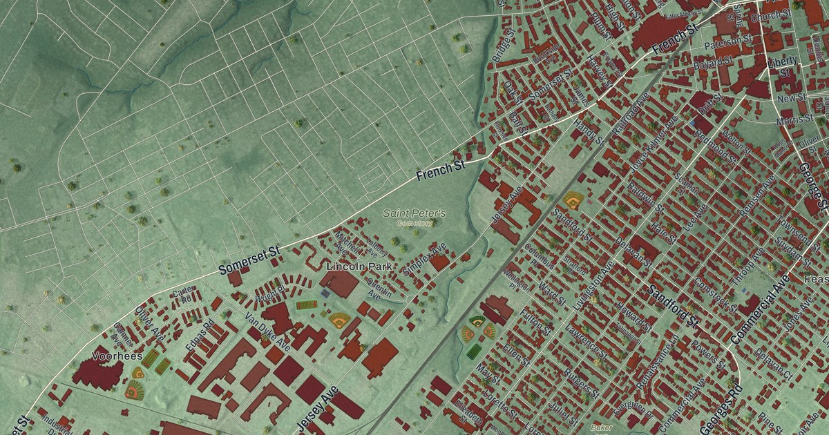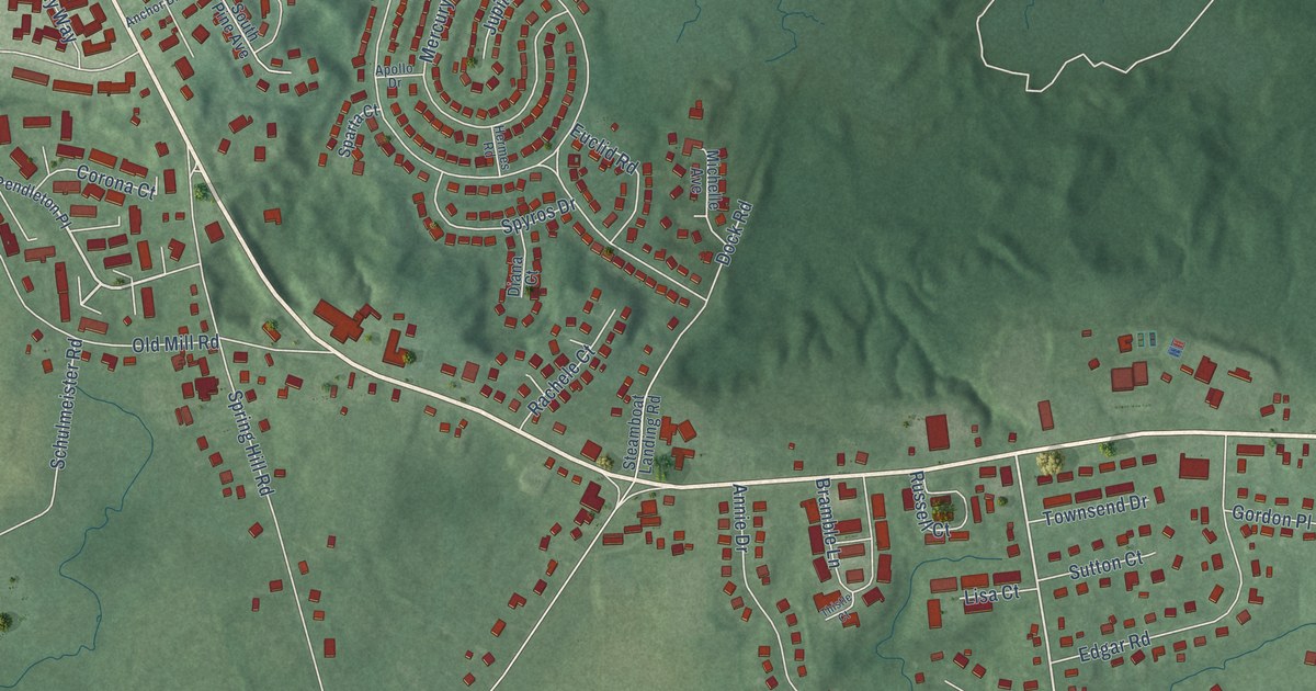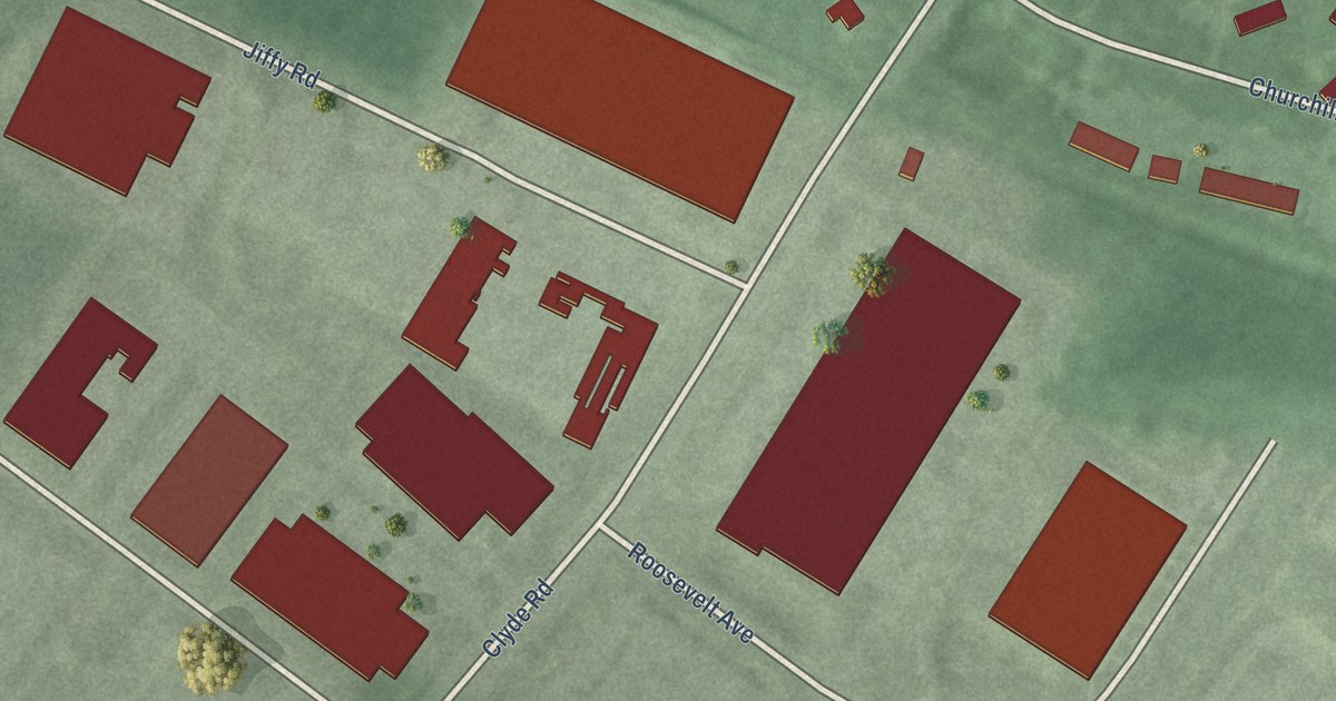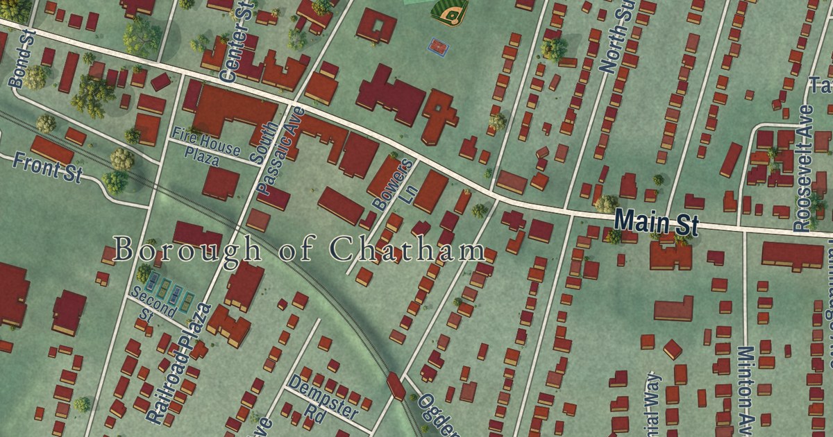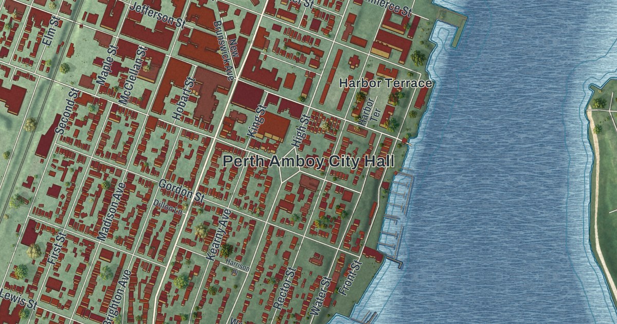
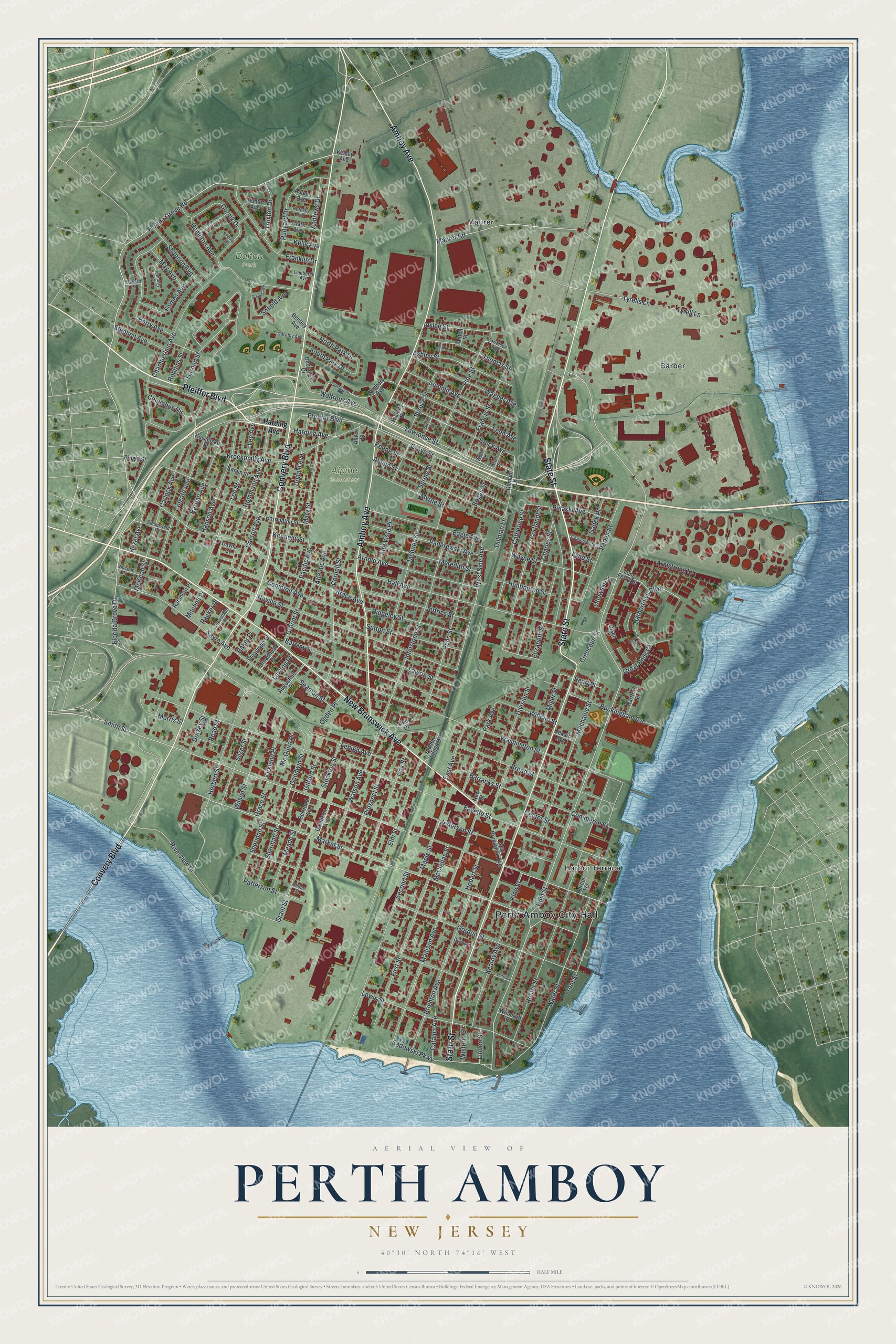
This beautifully detailed map of Perth Amboy, New Jersey was created in 2026 using aerial imagery combined with modern topographical, census, street and landmark data. It’s a one-of-a-kind view of Perth Amboy that combines accurate data with a vintage aesthetic. The map shows every building in its true location, many of the roads carry their names, and the shaded topographic relief shows the shape of the land.
Explore an aerial view of Perth Amboy, New Jersey
On the map you’ll find Perth Amboy City Hall, Barber, Maurer, Alpine Cemetery, and Dalton Park, along with Pfeiffer Boulevard, New Brunswick Avenue, Convery Boulevard, Amboy Avenue, Harbor Terrace, and more. If you look closely you can even find your house accurately drawn in its correct location. Zoom in on the preview to look for yours.
Did You Know?
The Lenape called this point of land Ompoge. Scottish colonists settled it in 1683 and named it New Perth for James Drummond, 4th Earl of Perth. Over time the two names blended into Perth Amboy. The city served as a capital of colonial New Jersey from 1686 to 1776.
Take a closer look at the Perth Amboy map
Names on this map
These names are printed on this map.
Places: Perth Amboy City Hall, Alpine Cemetery, Dalton Park, Barber, Harbor Terrace and Maurer.
Streets and roads: Pfeiffer Boulevard, State Street, New Brunswick Avenue, Convery Boulevard, Amboy Avenue, Harding Avenue, High Street, West Side Avenue, Lawrence Street, Florida Grove Road, Sadowski Parkway, Fayette Street.
More street names, A to Z
Adams Avenue, Albert Street, Alpine Street, Alta Vista Place, Andrews Drive, Anton Street, Armstrong Lane, Arnold Avenue, Ashley Street, Atlantic Avenue, Augustine Place, Baker Place, Barclay Street, Barnes Court, Barracks Street, Barry Avenue, Bentley Avenue, Bertrand Avenue, Bingle Street, Birch Street, Boggs Street, Brace Avenue, Brighton Avenue, Broadhead Place, Broad Street, Bruck Avenue, Buckingham Avenue, Carlock Avenue, Carson Avenue, Catalpa Avenue, Catherine Street, Center Street, Chamberlain Avenue, Charles Street, Chauncey Street, Clark Avenue, Colfax Street, Colgate Avenue, Columbus Circle, Commerce Street, Compton Avenue, Cornell Street, Cortlandt Street, Crencoun Street, Davidson Avenue, Dayna Court, Dekalb Avenue, Dillman Lane, Dillon Lane, Dilman Lane, Division Street, Dobranski Drive, Donald Avenue, Dorothy Avenue, Dorsey Street, Drahos Avenue, Eagle Avenue, East Avenue, Edward Place, Elizabeth Street, Elm Street, First Street, Florida Grove Drive, Forbes Avenue, Francis Street, Franklin Drive, Front Street, Gadek Place, Garretson Avenue, Gifford Street, Goodwin Street, Gordon Street, Gornik Drive, Grace Street, Grant Street, Great Beds Court, Groom Street, Grove Street, Hall Avenue, Hamilton Avenue, Hanson Avenue, Harbortown Boulevard, Harned Street, Harrington Street, Harrison Place, Hartford Street, Hazel Avenue, Herbert Street, Hickory Street, Hidden Village Drive, Hobart Street, Holly Drive, Hommann Avenue, Hornsby Avenue, Hunter Avenue, Huntington Street, Inslee Street, Jacques Street, Jefferson Street, Jeffries Street, Jennetty Court, Johnstone Street, Kamm Street, Kearny Avenue, Keene Street, Kelly Avenue, Kelsey Avenue, Kennedy Street, King Street, Kirkland Place, Kosciusko Street, Kreil Street, Krockmally Avenue, Laura Place, Lawrie Street, Lawton Place, Lee Avenue, Lee Street, Lehigh Avenue, Leon Avenue, Lewis Street, Lindbergh Avenue, Linden Street, Long Ferry Road, Lynd Street, Madison Avenue, Maple Street, Market Street, Mary Street, Maurer Road, May Avenue, McClellan Street, Mc Guire Place, McKeon Street, Meade Street, Mechanic Street, Meredith Street, Miller Street, Mitchell Place, Morris Street, Myrtle Street, Neville Street, New Street, North Park Drive, Oak Street, Ogden Place, Olsen Court, Otlowski Court, Pacific Avenue, Packer Place, Paderewski Avenue, Park Avenue, Parker Street, Patterson Street, Pearl Place, Penn Street, Pine Street, Prospect Street, Pulaski Avenue, Raritan Avenue, Rathburn Place, Read Street, Rector Street, Ridgeley Street, Riverview Drive, Robbins Street, Rowson Avenue, Rudyard Drive, Sayre Avenue, Seaman Street, Second Street, Shannon Avenue, Sheridan Street, Sherman Street, Silzer Street, Smith Street, Sofield Avenue, South Park Drive, Spring Street, Spruce Street, Steadman Place, Stephen Avenue, Sterling Court, Steuerwald Place, Stevenson Place, Stockton Street, Summit Avenue, Sutton Street, Thomas Street, Truxton Drive, Truxton Place, Tyrell Lane, Tyrells Lane, Vincent Place, Wagner Avenue, Waltrous Avenue, Washington Street, Water Street, Watson Avenue, Wayne Street, William Street, Wilson Street, Wisteria Street, Wolff Street, Woodruff Place, Zambory Avenue, Zambory Street.
See it on a wall
The Perth Amboy map as an 18 x 24 inch print in a black frame.

This beautifully detailed map of Perth Amboy makes an attractive addition to your office, library, or den, and it can even be used to teach children the geography and history of the area. It also makes a great gift for anyone who grew up in Perth Amboy or moved away. When you’re done exploring, click here to get your copy of the Perth Amboy map.