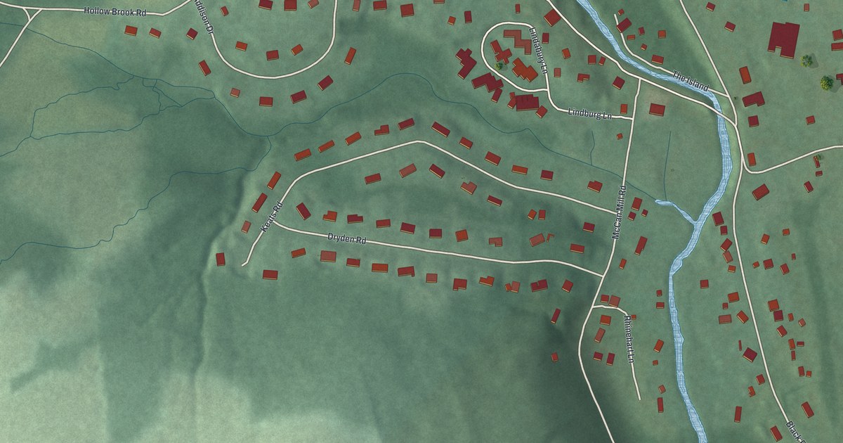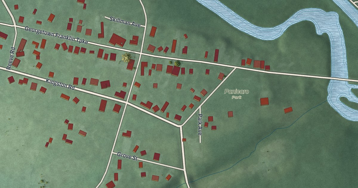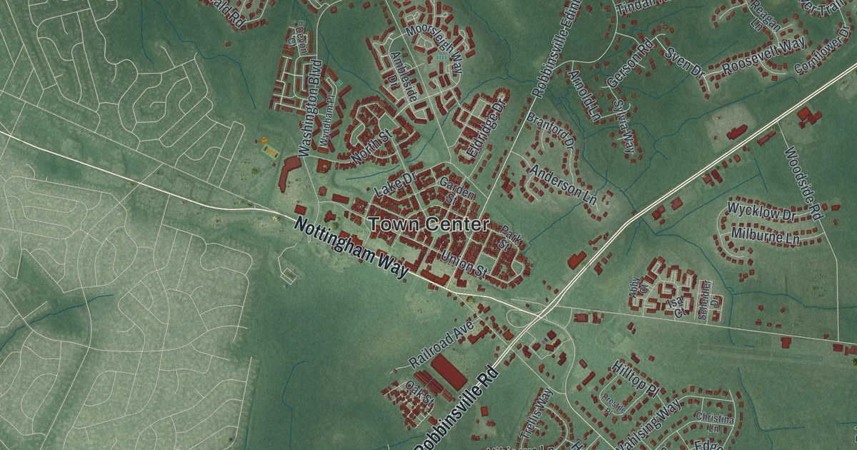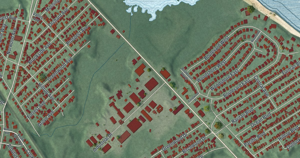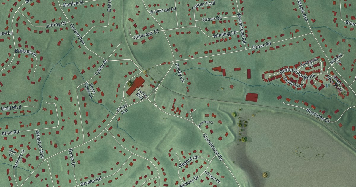
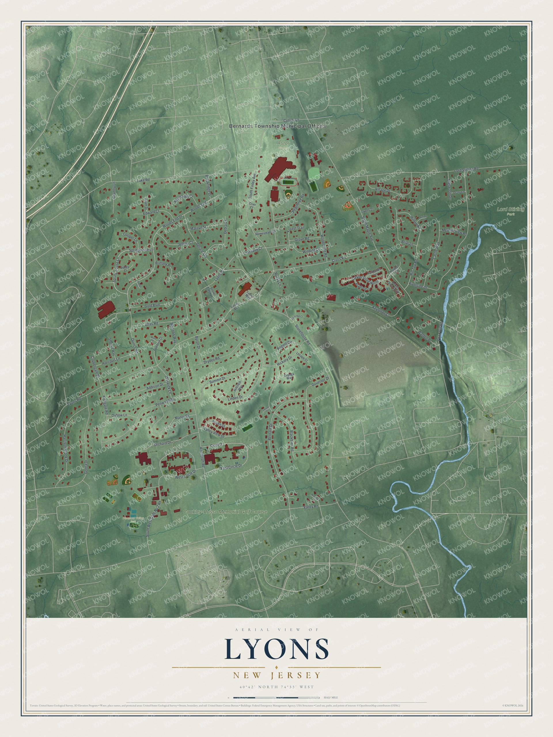
This beautifully detailed map of Lyons, New Jersey was created in 2026 using aerial imagery combined with modern topographical, census, street and landmark data. It's a modern aerial view of Lyons in Somerset County, New Jersey, that combines modern data with a vintage aesthetic. The roads feature printed names, and if you look closely you can find your exact house accurately shown in its correct location.
Explore an aerial view of Lyons, New Jersey
On this map you'll find Bernards Township Municipal Offices, Lord Stirling Park, Pleasant Valley Park, Astor Fields, Coakley-Russo Memorial Golf Course, Lyons Place, Quincy Road, Spring House Lane, Stonehouse Road, South Maple Avenue, Lyons Road, Valley Road, and more. Each red shape is a building, so zoom in on the preview and look for yours.
Lyons is a community in Somerset County. The Census Bureau counted 5,345 people here in 2020. The map prints the town name in its title panel, with the coordinates below it.
Take a closer look at the Lyons map
Names on this map
These names are printed on this map.
Places: Bernards Township Municipal Offices, Lord Stirling Park, Pleasant Valley Park, Astor Fields and Coakley-Russo Memorial Golf Course.
Streets and roads: Lyons Place, Quincy Road, Spring House Lane, Stonehouse Road, South Maple Avenue, Lyons Road, Valley Road, South Finley Avenue, Knollcroft Road, Lord Stirling Road, Lake Road, Woods End.
More street names, A to Z
Addison Drive, Archgate Road, Aspen Drive, Atlas Road, Bernard Drive, Blackburn Road, Bradford Lane, Briar Lane, Brittany Place, Brookfield Drive, Brookridge Drive, Byron Drive, Castle Way, Cayuga Way, Charter Court, Circle 2, Clairvaux Court, Collyer Lane, Cooper Lane, Coppergate Drive, Country Lane, Crier Court, Cross Road, Debra Lane, Dexter Drive North, Dexter Drive South, Drury Lane, Dryden Road, East Circle Drive, Edward Court, Fairbanks Lane, Finley Avenue, Forest Trail, Gerard Avenue, Gold Boulevard, Goltra Drive, Governor Drive, Grove Road, Harcourt Lane, Harrison Brook Drive, Heath Drive, Heather Lane, Hickory Drive, Hillcrest Way, Hill Top Road, Hilltop Road, Homestead Road, Jeffrey Court, Keystone Court, Lenape Court, Linden Drive, Lyons Mall, Manor Drive, Marilyn Street, Meadowview Road, Normandy Court, Orchard Drive, Owens Court, Oxbow Lane, Paddock Court, Peachtree Road, Penwood Road, Pitney Court, Pond Hill Road, Rachel Court, Regent Circle, Riverside Drive, Rockridge Court, Rocky Lane, Shepard Way, Sherwood Drive, South West Gate No 2 Road, Springhouse Lane, Stirling Lane, Stone Creek Lane, Summit Drive, Valley View Drive, Village Drive, Walden Place, Warwick Lane, West Circle Drive, Wharton Way, Winding Lane, Wolf Lane, Woods End Drive, Woodstone Road.
See it on a wall
The Lyons map as a framed print. Swipe for more.


Created by KNOWOL in 2026. The buildings are small red shapes, the roads carry their printed names, and shaded relief shows the shape of the land. The title panel reads "AERIAL VIEW OF LYONS, NEW JERSEY" with 40°42' NORTH 74°33' WEST.
Hang it in the hallway, the office or the cabin, or give it to someone who left Lyons and still calls it home. Open the preview and look for a street you know. See sizes and frames for the Lyons map.