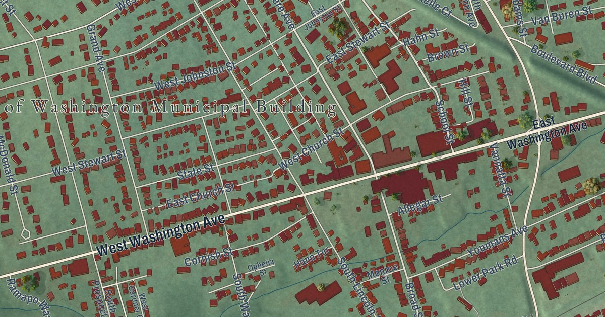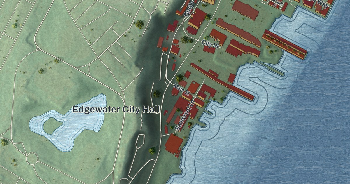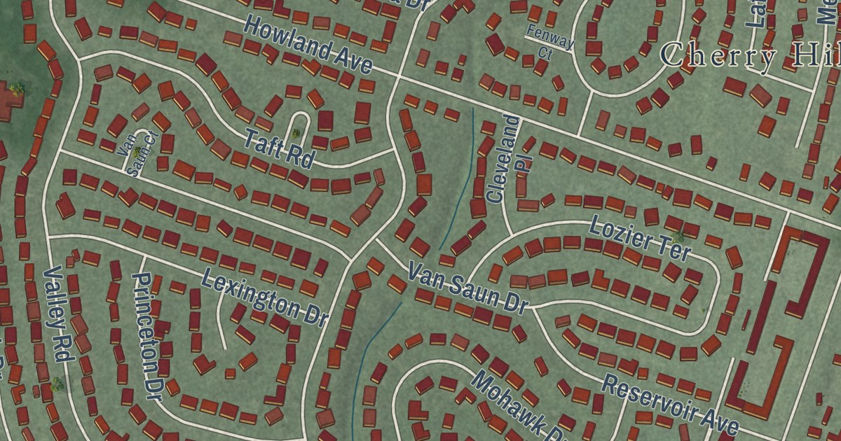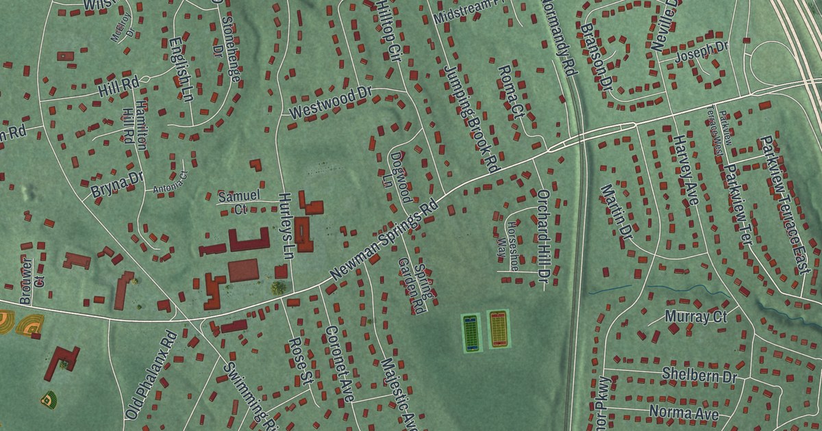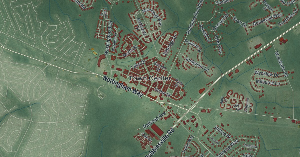
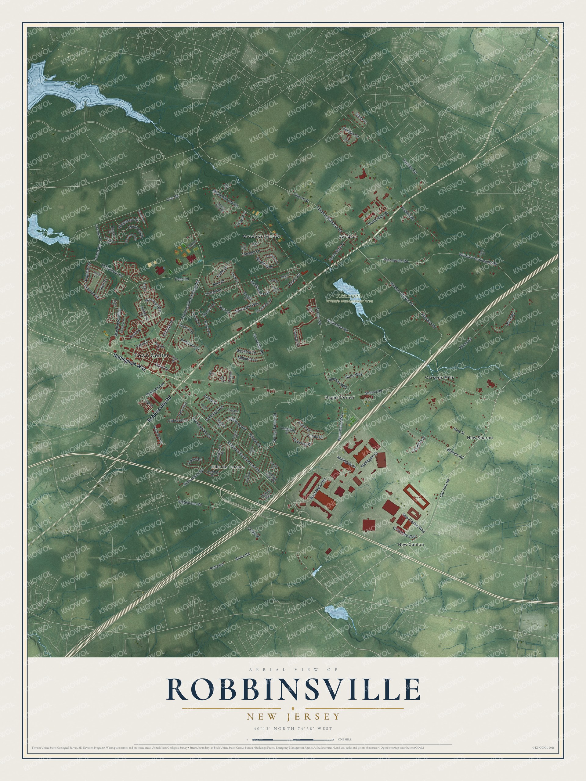
This beautifully detailed map of Robbinsville, New Jersey was created in 2026 using aerial imagery combined with modern topographical, census, street and landmark data. It’s a one-of-a-kind view of Robbinsville that combines accurate data with a vintage aesthetic. The map shows every building in its true location, many of the roads carry their names, and the shaded topographic relief shows the shape of the land.
Explore an aerial view of Robbinsville, New Jersey
On the map you’ll find Town Center, Carsons Mills, New Canton, New Sharon, and Assunpink Wildlife Management Area, along with Nottingham Way, Robbinsville Road, Old York Road, Robbinsville Allentown Road, Hillside Terrace, Meadows Terrace, and more. If you look closely you can even find your house accurately drawn in its correct location. Zoom in on the preview to look for yours.
Did You Know?
English Quakers settled the land at Robbinsville in 1750. The village was once called Hungry Hill, because travelers had a hard time finding food there. It later took its name from George Robbins, an early resident. That’s from the 1939 WPA guide to New Jersey.
Take a closer look at the Robbinsville map
Names on this map
These names are printed on this map.
Places: Town Center, Assunpink Wildlife Management Area, Carsons Mills, Hillside Terrace, Meadows Terrace, New Canton, New Sharon, Pages Corner and Windsor.
Streets and roads: Nottingham Way, Robbinsville Road, Old York Road, Robbinsville Allentown Road, Line Road, Windsor Sharon Road, Edinburg Windsor Road, Robbinsville Edinburg Road, Burke Road, Circle Drive, Windsor Road, Church Street.
More street names, A to Z
Abby Court, Allens Road, Amberfield Road, Ambleside Drive, Amy Court, Anderson Lane, Annie Lane, Applegate Court, Applegate Drive, Arnold Lane, Barto Way, Beacon Place, Blyman Court, Branford Drive, Bresnahan Road, Brookshire Drive, Buckley Lane, Buford Road, Canterbury Drive, Cathy Drive, Christina Lane, Combs Road, Coombs Road, Cornflower Drive, Corporate Boulevard, Cottage Place Drive, Devon Court, Edgebrook Road, Edgewood Road, Eldridge Drive, Emerald Road, Erin Court, Fairview Road, Fox Runne Road, Garden Street, Garnet Lane, Gerson Road, Gordon Road, Hankins Road, Harvest Bend Road, Hibiscus Lane, Hickory Way, Hillside Drive, Hilltop Place, Honeysuckle Drive, Hutchinson Road, Isa Court, Ivanhoe Drive, Jared Drive, Jonathan Drive, Lake Drive, Landview Court, Laurel Drive, Mary Lane, Meadowbrook Road, Meyer's Court, Milburne Lane, Moorsleigh Way, New Canton Way, New Street, North Gold Drive, North Main Street, North Street, Oak Street, Olivia Road, Opal Drive, Park Street, Patriot Drive, Perrineville Road, Pickering Drive, Pond Road, Potts Road, Prestile Place, Railroad Avenue, Reagan Lane, Richardson Road, Roosevelt Way, Rose's Court, Samjan Circle, Sapphire Road, Sara Drive, Saxony Lane, Scheidler Drive, Schenk Place, Seva Court, Sharon Road, Siena Court, South Main Street, Spencer Way, Spring Garden Road, Stanley Drive, Sundew Way, Sven Drive, Sylvia Way, Tanager Lane, Thistle Place, Thomas Drive, Tindall Road, Trellis Way, Union Street, Vahlsing Way, Voelbel Road, Walters Road, Washington Boulevard, West Manor Road, West Manor Way, Wildflower Trail, Windflower, Windmere Path, Windsor Perrineville Road, Windswept Drive, Windward Way, Winterset Drive, Witmer Way, Woodside Road, Woods Road, Wycklow Drive, Wyndham Place.
See it on a wall
The Robbinsville map as an 18 x 24 inch print in a black frame.

This beautifully detailed map of Robbinsville makes an attractive addition to your office, library, or den, and it can even be used to teach children the geography and history of the area. It also makes a great gift for anyone who grew up in Robbinsville or moved away. When you’re done exploring, click here to get your copy of the Robbinsville map.