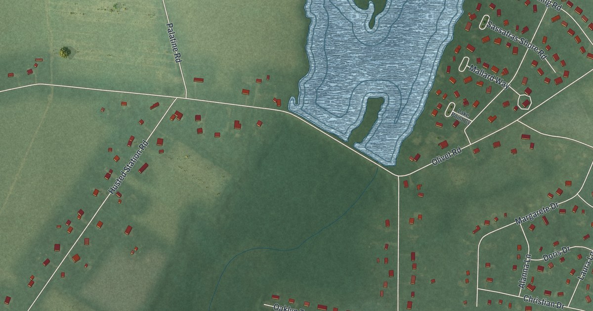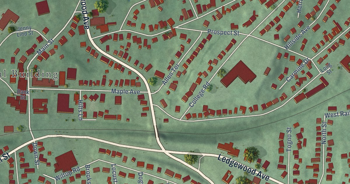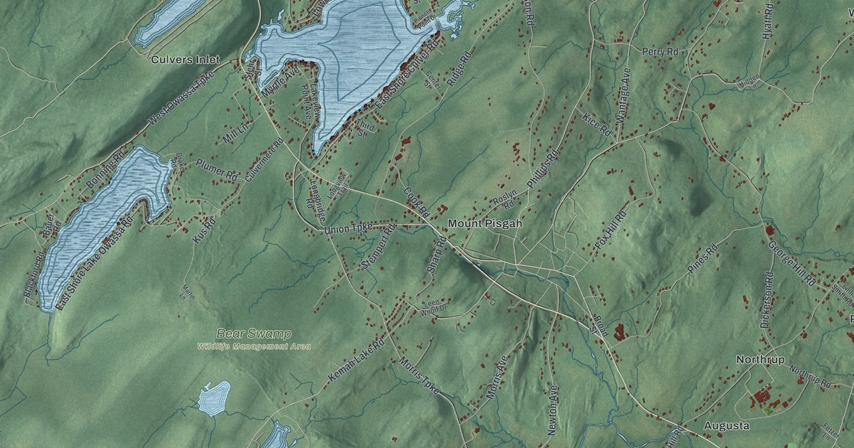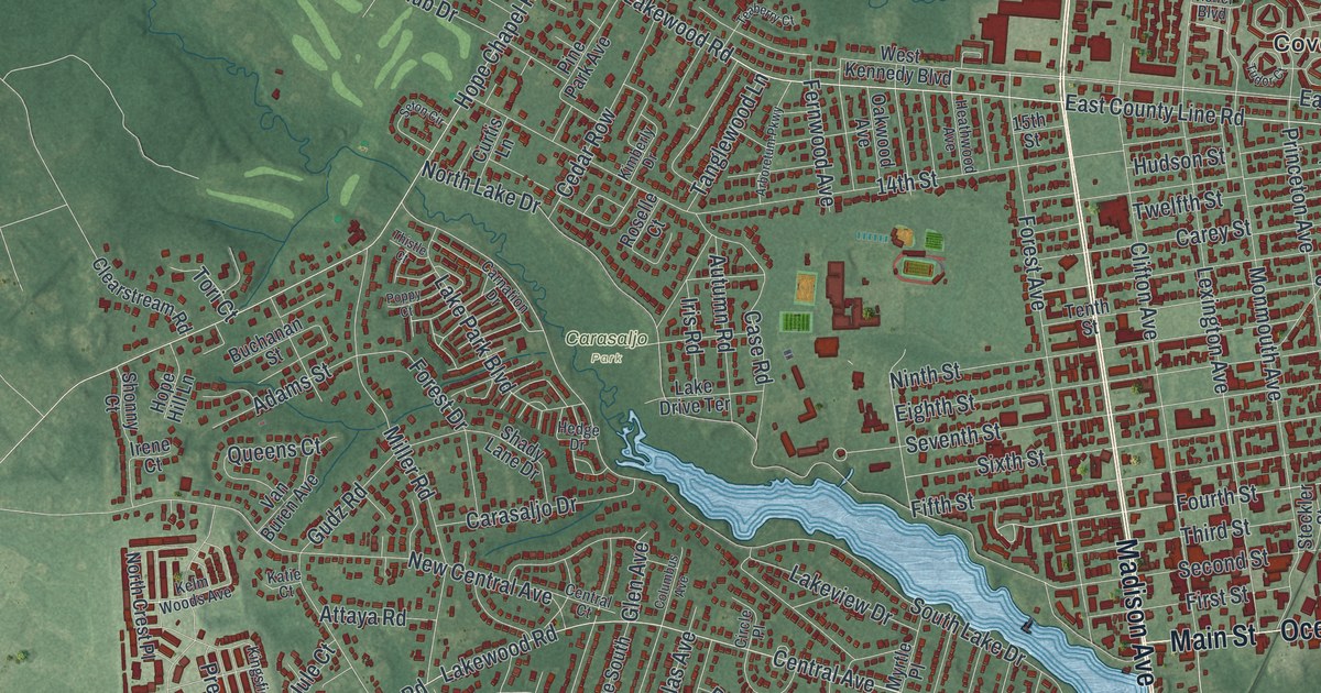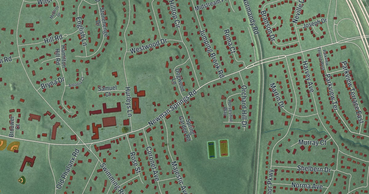
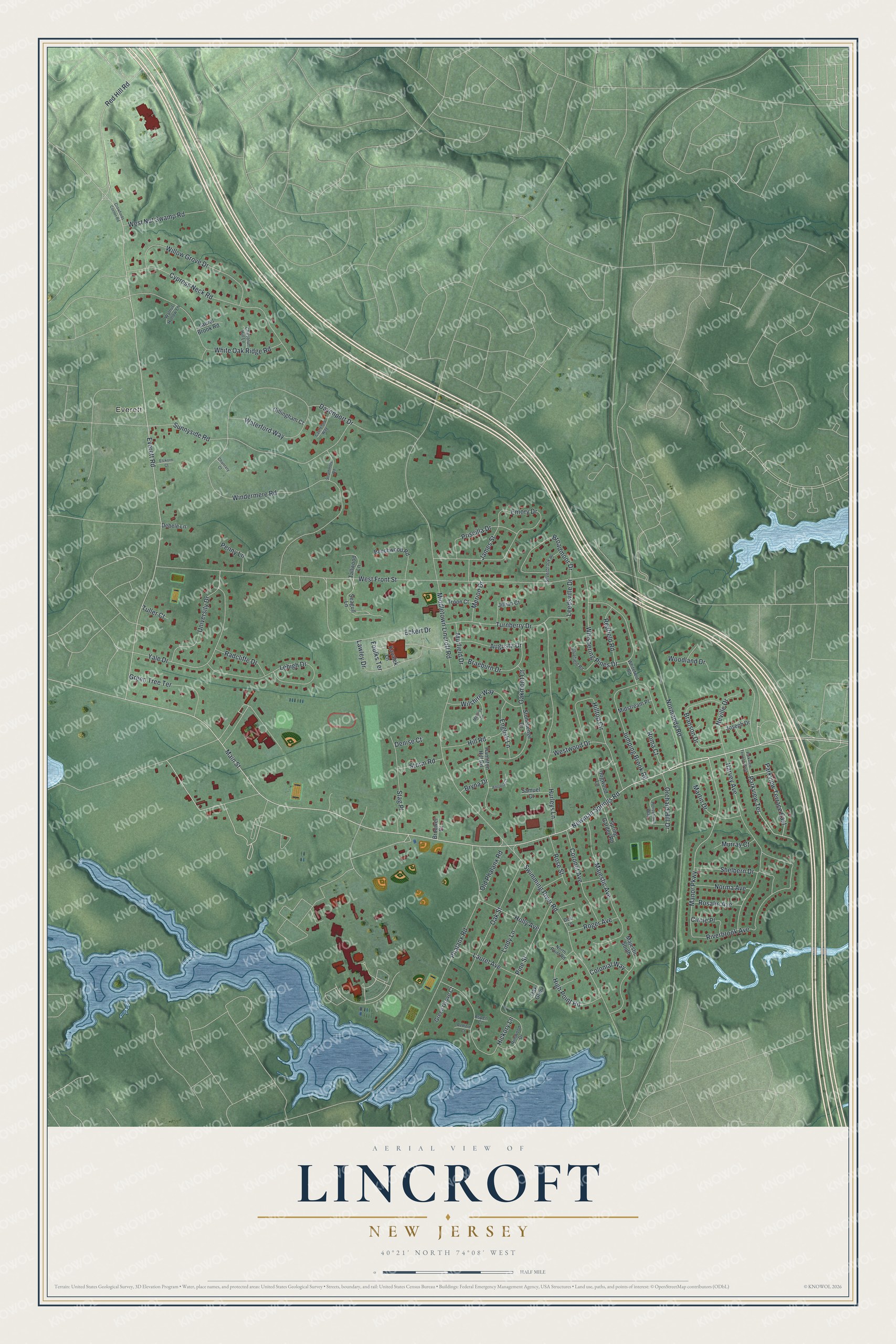
This beautifully detailed map of Lincroft, New Jersey was created in 2026 using aerial imagery combined with modern topographical, census, street and landmark data. It’s a one-of-a-kind view of Lincroft that combines accurate data with a vintage aesthetic. The map shows every building in its true location, many of the roads carry their names, and the shaded topographic relief shows the shape of the land.
Explore an aerial view of Lincroft, New Jersey
On the map you’ll find Everett, along with Newman Springs Road, Main Street, Everett Road, Manor Parkway, Parkview Terrace, Yale Drive, Middletown Lincroft Road, West Front Street, Phalanx Road, Normandy Road, Windermere Road, and more. If you look closely you can even find your house accurately drawn in its correct location. Zoom in on the preview to look for yours.
Take a closer look at the Lincroft map
Names on this map
These names are printed on this map.
Places: Everett.
Streets and roads: Newman Springs Road, Main Street, Everett Road, Manor Parkway, Parkview Terrace, Yale Drive, Middletown Lincroft Road, West Front Street, Phalanx Road, Normandy Road, Windermere Road, Sunnyside Road.
More street names, A to Z
Antonia Court, Aspen Court, Augusta Drive, Beechwood Road, Bluefield Road, Braeburn Drive, Branson Drive, Broadmoor Drive, Brouwer Court, Bryna Drive, Castleford Way, Chancery Court, Chestnut Hill Lane, Circle Place, Colonial Way, Coronet Avenue, Crawfords Corner Road, Cypress Neck Road, Davenport Drive, Debele Lane, Deer Lane, Denise Court, Dogwood Lane, Eckert Drive, Emory Drive, English Lane, Etzkorn Court, Foulks Terrace, Gillingham Court, Green Grove Court, Green Tree Terrace, Hamilton Hill Road, Harvey Avenue, Hickory Lane, High Point Road, Hill Road, Hilltop Circle, Holly Avenue, Horseshoe Way, Hurleys Lane, James Street, Jillian Court, Joseph Drive, Jumping Brook Road, Kavalek Lane, Laurel Avenue, Laurel Brook Road, Lawley Drive, Leedsville Drive, Lehigh Drive, Lindy Lane, Majestic Avenue, Majestic South, Martin Drive, McElroy Drive, Merion Drive, Midstream Place, Murfield Drive, Murray Court, Neville Drive, Norma Avenue, North Point Road, Oak Glen, Oakmont Court, Oak Street, Old Phalanx Road, Orchard Hill Drive, Parkview Terrace East, Parkview Terrace West, Penny Lane, Pine Street, Priscilla Drive, Radcliffe Drive, Redfern Court, Redfield Road, Red Hill Road, Rimwood Drive, Riverbrook Avenue, Roger Avenue, Roma Court, Rosalie Avenue, Rose Street, Samuel Court, Seagull Lane, Shelbern Drive, Silverbrook Place, Spring Garden Road, Stag Place, Stonehenge Drive, Storm Road, Strathmore Road, Swimming River Road, Tallwood Lane, Troon Court, Tuller Court, Turnberry Drive, University Drive, Walnut Hollow Lane, Waterford Way, West Nut Swamp Road, Westwood Drive, Whispering Pines Drive, Whitefield Road, White Oak Ridge Road, Willow Grove Drive, Wilshire Way, Woodland Drive.
See it on a wall
The Lincroft map as an 18 x 24 inch print in a black frame.

This beautifully detailed map of Lincroft makes an attractive addition to your office, library, or den, and it can even be used to teach children the geography and history of the area. It also makes a great gift for someone who left Lincroft and still calls it home. When you’re done exploring, click here to get your copy of the Lincroft map.