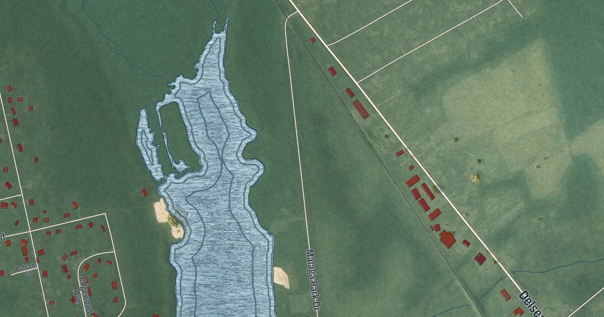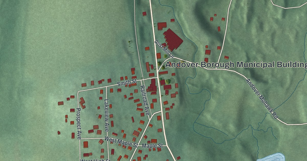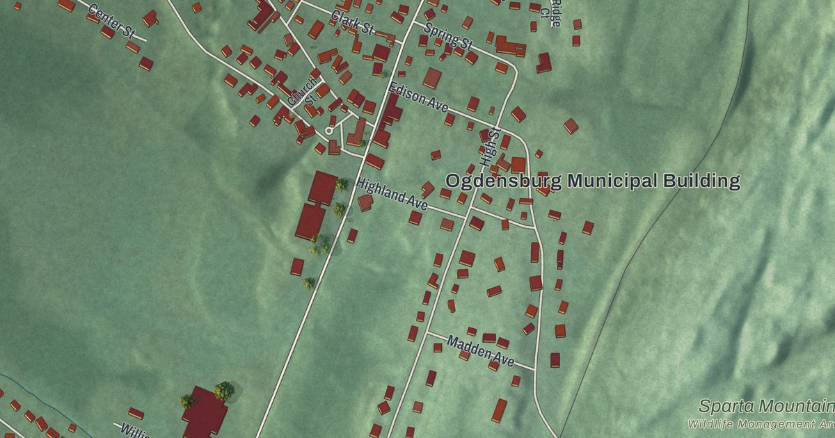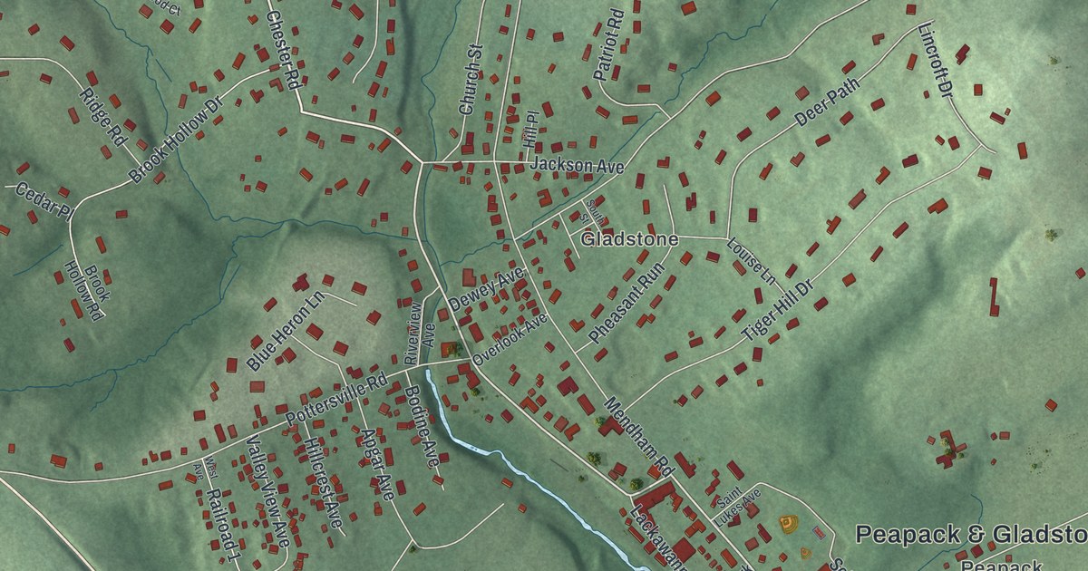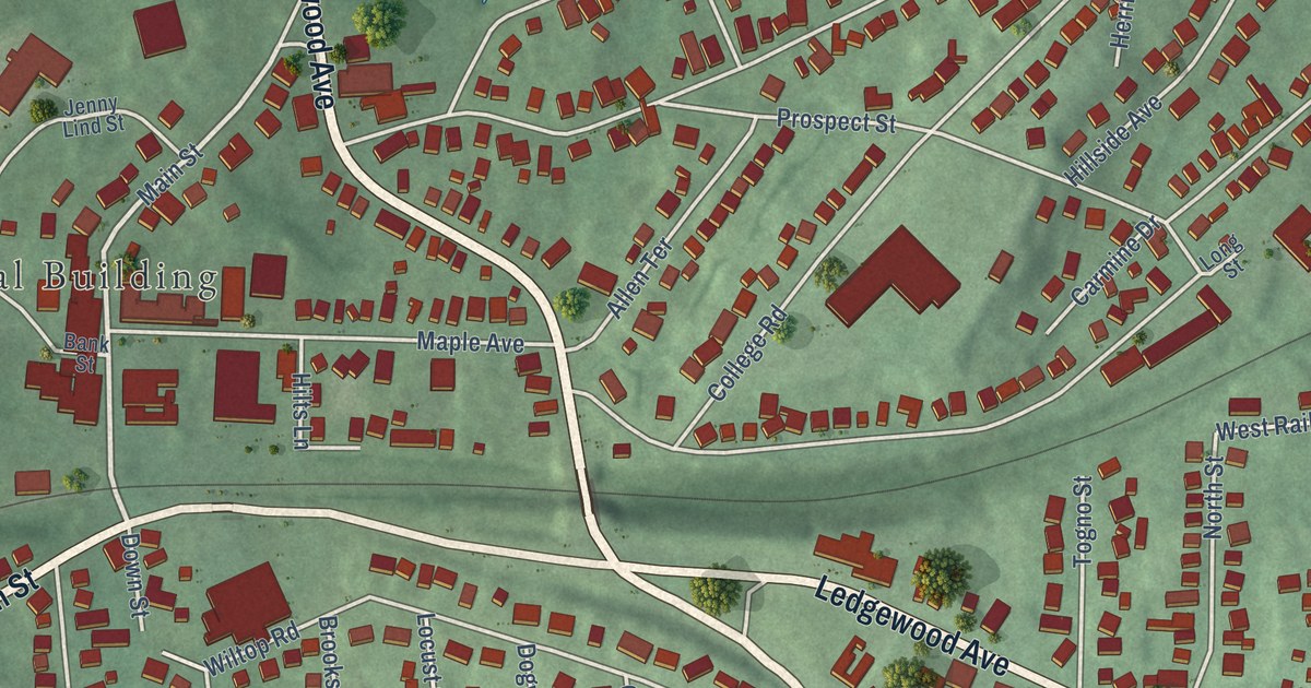
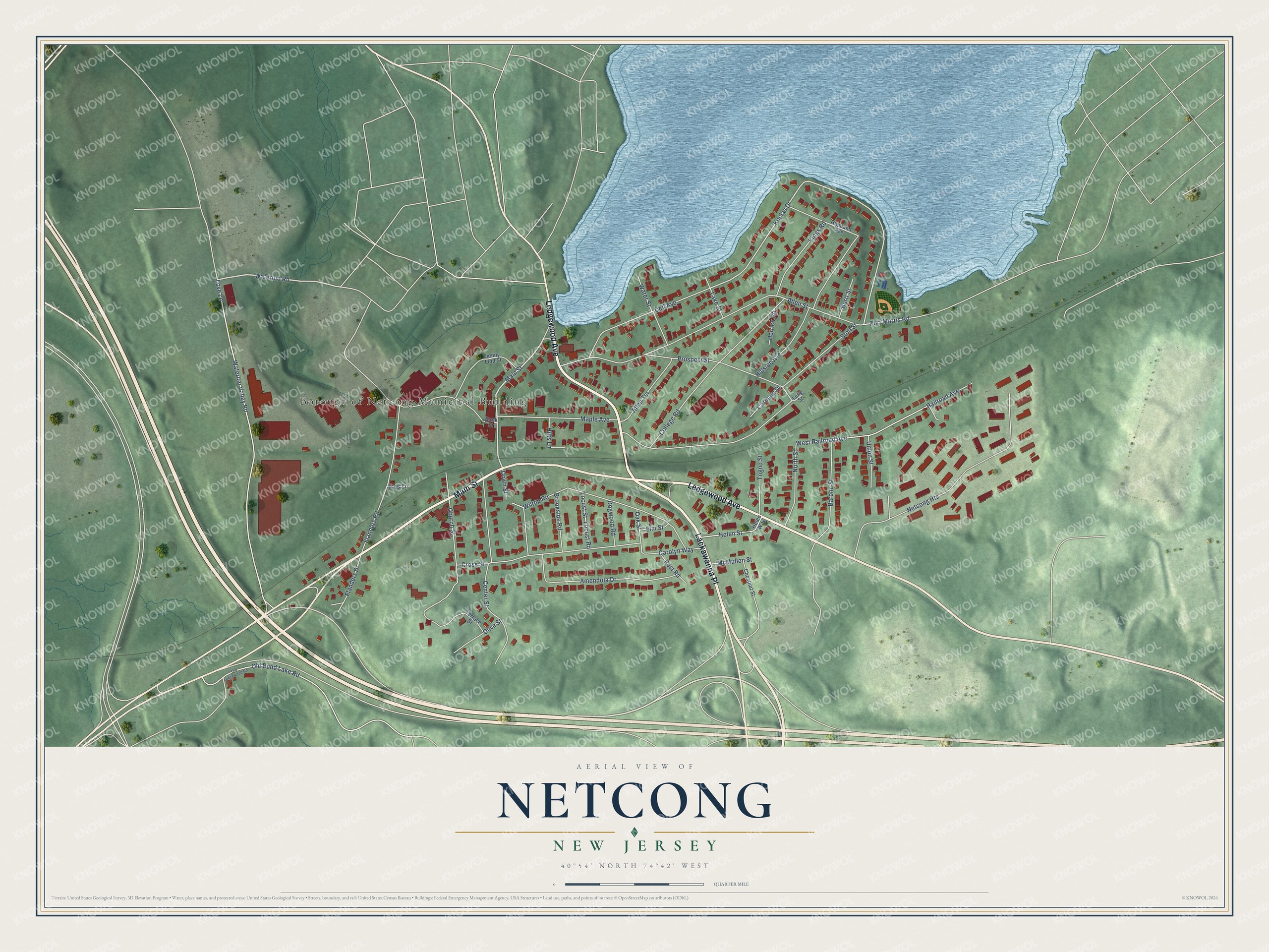
This beautifully detailed map of Netcong, New Jersey was created in 2026 using aerial imagery combined with modern topographical, census, street and landmark data. It’s a one-of-a-kind view of Netcong that combines accurate data with a vintage aesthetic. The map shows every building in its true location, many of the roads carry their names, and the shaded topographic relief shows the shape of the land.
Explore an aerial view of Netcong, New Jersey
On the map you’ll find Borough of Netcong Municipal Building and Lackawanna Place, along with Ledgewood Avenue, Main Street, Love Lane, and more. If you look closely you can even find your house accurately drawn in its correct location. Zoom in on the preview to look for yours.
Did You Know?
Miners who worked in Stanhope first settled Netcong and called it South Stanhope. The name Netcong arrived in 1889, when the post office took it. It came from the Musconetcong River, which the Lenape people had named. The borough was incorporated in 1894.
Take a closer look at the Netcong map
Names on this map
These names are printed on this map.
Places: Borough of Netcong Municipal Building.
Streets and roads: Ledgewood Avenue, Main Street, Lackawanna Place, Love Lane, Waterloo Road, Port Morris Road, Koclas Drive, Old Budd Lake Road, West Railroad Avenue, Allen Street, Wiltop Road, Waterloo Valley Road.
More street names, A to Z
Allen Terrace, Amendola Drive, Bank Street, Barone Street, Brookside Road, Burtt Street, Carmine Drive, Carolyn Way, Center Street, Chestnut Street, Church Street, College Road, Cross Street, Dell Avenue, Dogwood Road, Down Street, Elm Street, Flanders Drive, Flanders Road, Helen Street, Helen Way, Herrick Road, Highland Avenue, Hillside Avenue, Hilts Lane, Ikes Lane, Jenny Lind Street, Kings Road, Lake Street, Locust Road, Locust Street, Long Street, Maple Avenue, McMullen Street, Netcong Heights, North Street, Oak Street, Old Ledgewood Road, Olive Street, Post Road, Prospect Street, Railroad Avenue, Stoll Street, Terrace Street, Togno Street, Union Street, Water Street.
See it on a wall
The Netcong map as an 18 x 24 inch print in a black frame.

This beautifully detailed map of Netcong makes an attractive addition to your office, library, or den, and it can even be used to teach children the geography and history of the area. It also makes a great gift for someone who left Netcong and still calls it home. When you’re done exploring, click here to get your copy of the Netcong map.