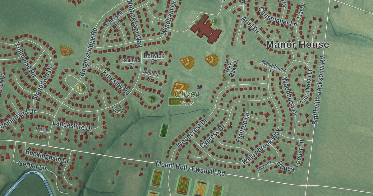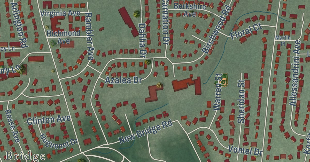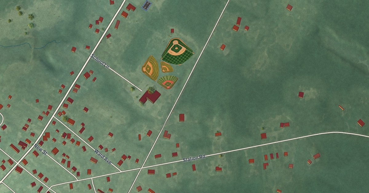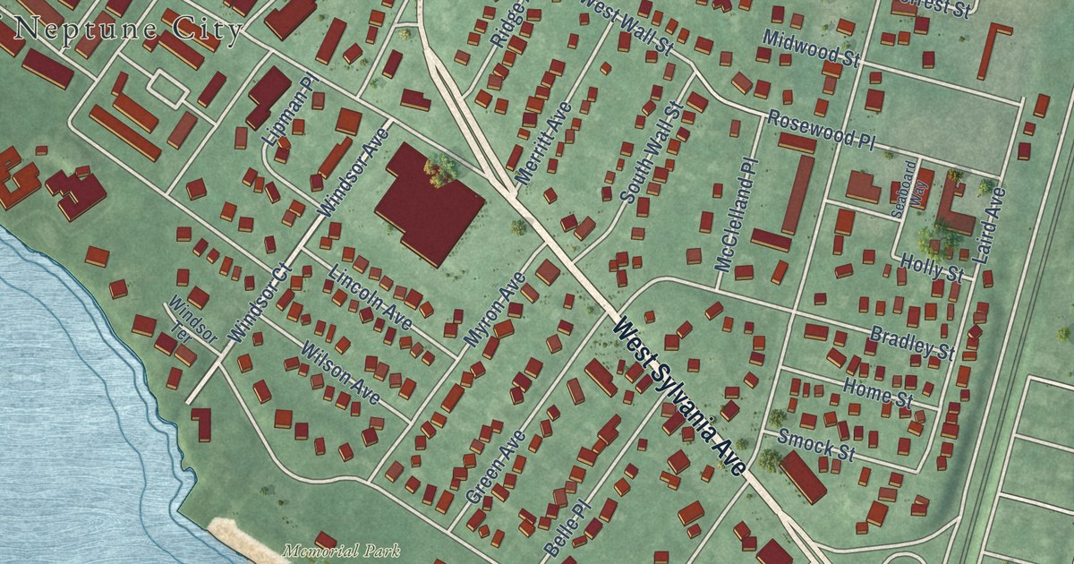
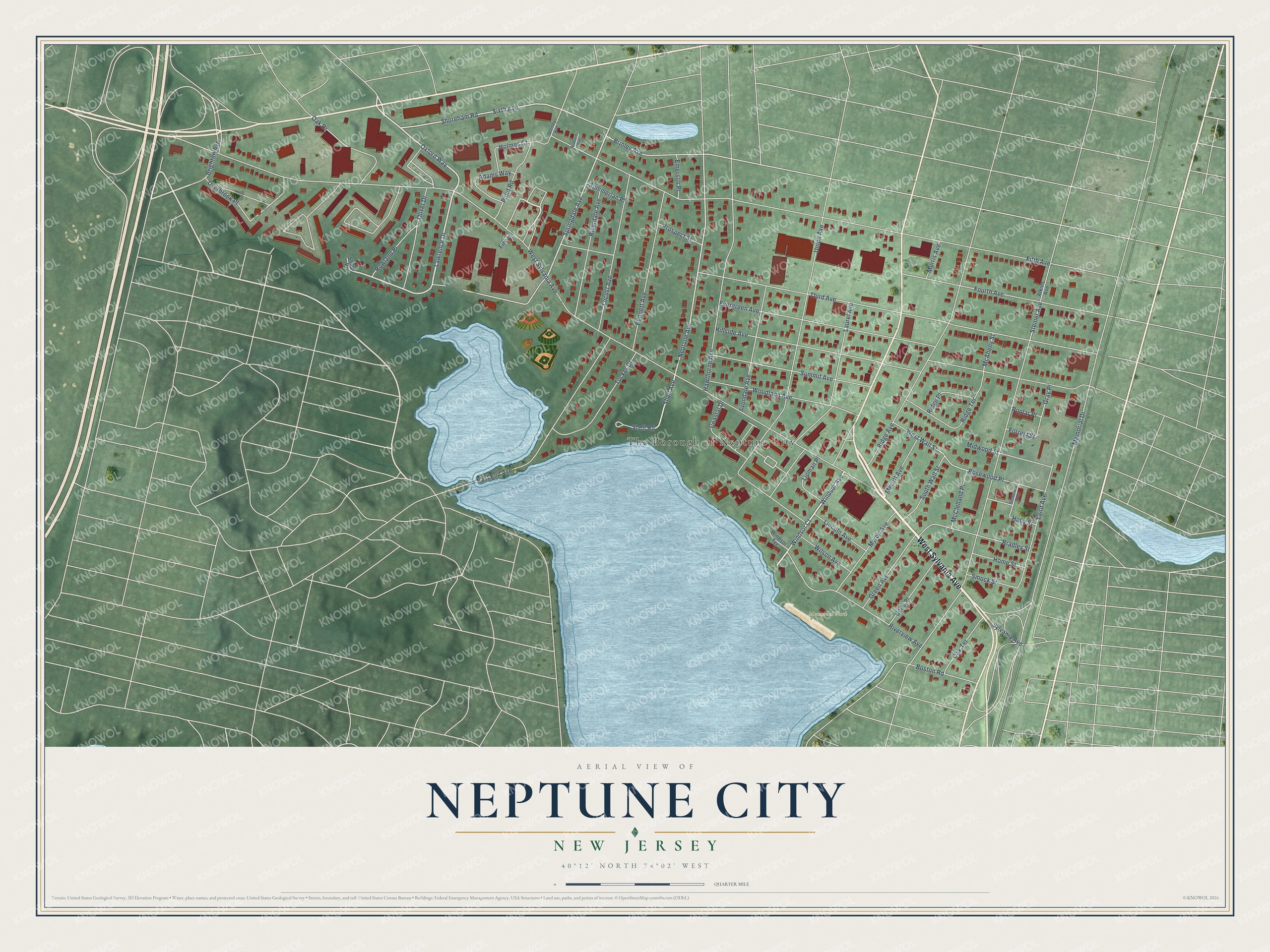
This beautifully detailed map of Neptune City, New Jersey was created in 2026 using aerial imagery combined with modern topographical, census, street and landmark data. It’s a one-of-a-kind view of Neptune City that combines accurate data with a vintage aesthetic. The map shows every building in its true location, many of the roads carry their names, and the shaded topographic relief shows the shape of the land.
Explore an aerial view of Neptune City, New Jersey
On the map you’ll find The Borough of Neptune City and Memorial Park, along with Sylvania Avenue, Oxford Way, Lawrence Drive, Windsor Court, and more. If you look closely you can even find your house accurately drawn in its correct location. Zoom in on the preview to look for yours.
Did You Know?
Neptune City was established in 1881 as the first borough to break away from Neptune Township. In the 1880s the town was well known for its shore dinners and clambakes. Scotty’s, at Shark River Island, held many political outings. Woodrow Wilson gave one there while he was governor. That’s from the 1939 WPA guide to New Jersey.
Take a closer look at the Neptune City map
Names on this map
These names are printed on this map.
Places: The Borough of Neptune City and Memorial Park.
Streets and roads: West Sylvania Avenue, Oxford Way, Lawrence Drive, Windsor Court, Overbrook Place, Windsor Avenue, Springdale Avenue, Neptune Avenue, Shell Avenue, Shell Road, Sixth Avenue, Fifth Avenue.
More street names, A to Z
Adams Way, Atkins Avenue, Avondale Avenue, Belle Place, Bennett Avenue, Boston Road, Bradley Street, Brighton Avenue, Brinley Avenue, Coastal Drive, East End Avenue, Emerson Place, Evergreen Avenue, Filmore Avenue, Fire Lane, Forrest Street, Fourth Avenue, Gray Place, Green Avenue, Hawthorne Avenue, Hillside Avenue, Holly Street, Holmes Court, Home Street, Laird Avenue, Laurel Avenue, Lincoln Avenue, Lipman Place, Locust Avenue, McAheny Street, McClelland Place, Memorial Drive, Merritt Avenue, Midwood Street, Morris Avenue, Myron Avenue, Oak Drive, Oak Terrace, Oliver Drive, Pond Road, Poplar Place, Prospect Street, Ridge Avenue, Ridge Place, Ridge Terrace, Riverdale Avenue, Riverview Avenue, Rosewood Place, Rowland Place, Seaboard Way, Shark Place, Shoreham Road, Smock Street, South Wall Street, Stanley Avenue, Steiner Avenue, Summerlan Place, Summit Avenue, Sylvania Avenue, Third Avenue, Tucker Drive, Union Avenue, West Wall Street, Wilson Avenue, Windsor Terrace, Woodland Avenue.
See it on a wall
The Neptune City map as an 18 x 24 inch print in a black frame.

This beautifully detailed map of Neptune City makes an attractive addition to your office, library, or den, and it can even be used to teach children the geography and history of the area. It also makes a great gift for someone who left Neptune City and still calls it home. When you’re done exploring, click here to get your copy of the Neptune City map.