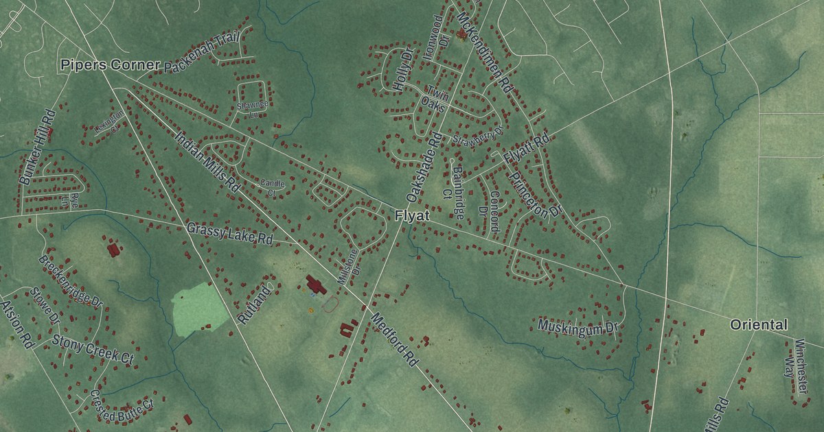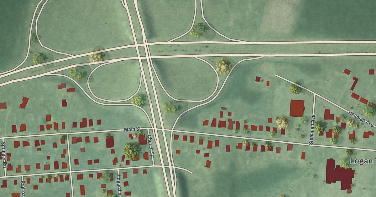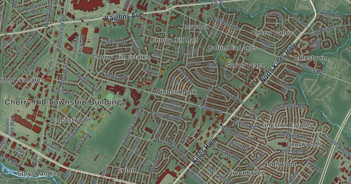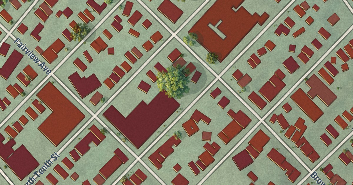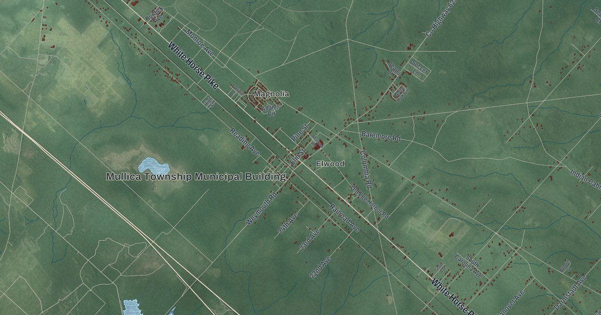
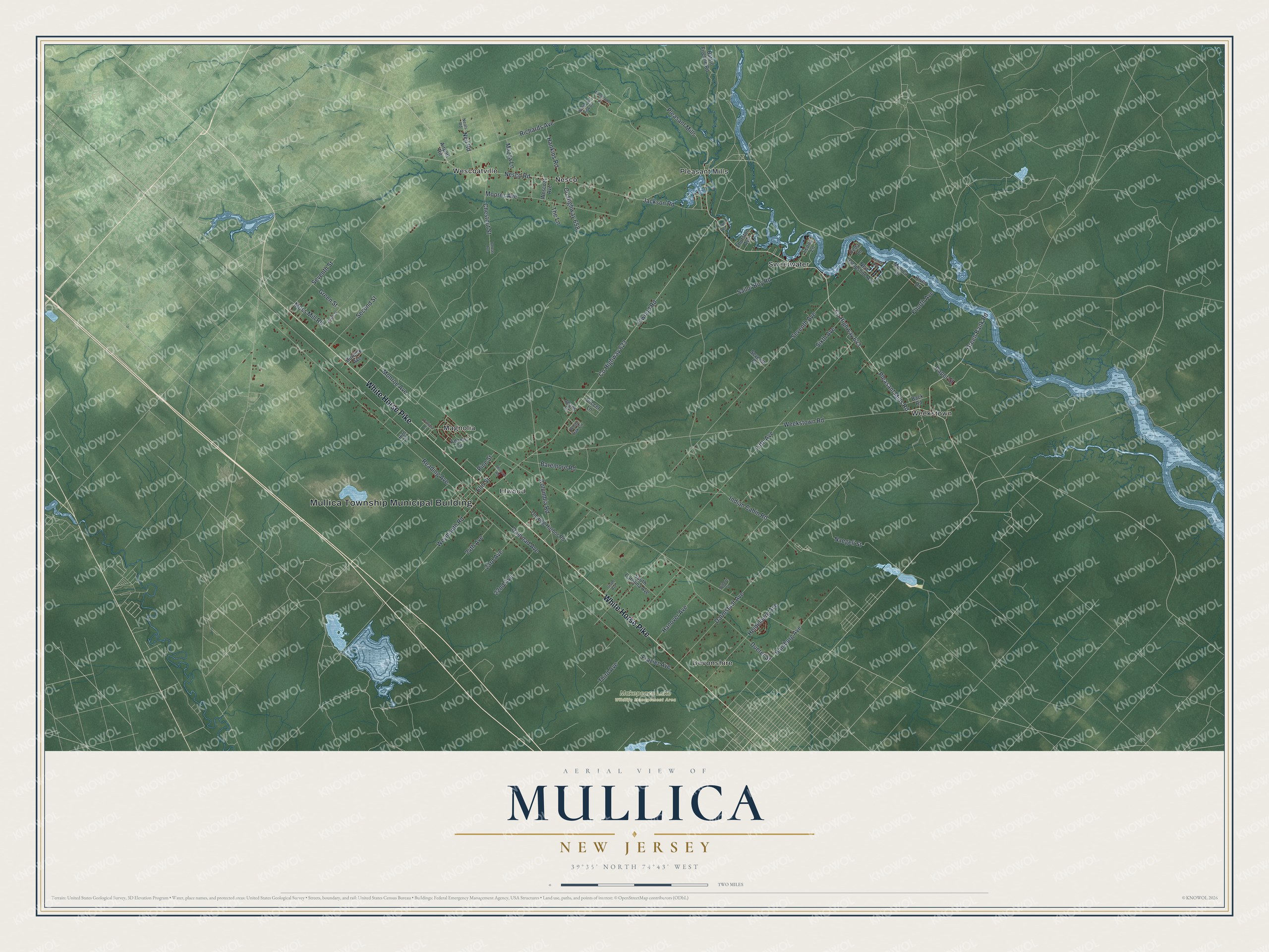
This beautifully detailed map of Mullica, New Jersey was created in 2026 using aerial imagery combined with modern topographical, census, street and landmark data. It’s a one-of-a-kind view of Mullica that combines accurate data with a vintage aesthetic. The map shows every building in its true location, many of the roads carry their names, and the shaded topographic relief shows the shape of the land.
Explore an aerial view of Mullica, New Jersey
On the map you’ll find Mullica Township Municipal Building, Devonshire, Elwood, Magnolia, Nesco, Pleasant Mills, and Makepeace Lake Wildlife Management Area, along with White Horse Pike, Pleasant Mills Road, Green Bank Road, Nesco Road, and more. If you look closely you can even find your house accurately drawn in its correct location. Zoom in on the preview to look for yours.
Did You Know?
The township and its river carry the name of Eric Mullica, an early Swedish settler of Finnish descent born in 1636. He moved from near Philadelphia and built a homestead on the river. He later settled at Mullica Hill in Gloucester County. The township itself was formed from Galloway Township in 1838.
Take a closer look at the Mullica map
Names on this map
These names are printed on this map.
Places: Mullica Township Municipal Building, Makepeace Lake Wildlife Management Area, Devonshire, Elwood, Magnolia, Nesco, Pleasant Mills, Sweetwater, Weekstown and Wescoatville.
Streets and roads: White Horse Pike, Pleasant Mills Road, County Highway 643, Green Bank Road, Nesco Road, Elwood Road, Neil Road, Moss Mill Road, Reading Avenue, Columbia Road, Fifth Avenue, Indian Cabin Road.
More street names, A to Z
22nd Avenue, 23rd Avenue, 24th Avenue, Absecon Road, Adams Circle, Airport Road, Back Road, Baremore Road, Batsto Fireline Road, Boreas Avenue, Burdick Avenue, Cedar Lane, Chestnut Street, County Highway 623, County Highway 658, Darmstadt Avenue, Duerer Street, Elm Street, Ford Avenue, Fourth Avenue, Frazier Avenue, Grape Avenue, Green Street, Hamburg Avenue, Hankins Road, Hanover Avenue, Heidelberg Avenue, High Street, Jackson Road, Jeans Court, Leona Lane, Mazza Lane, Monroe Avenue, Moores Avenue, Mullica Drive, Naegeli Street, Neals Road, New Hampshire Avenue, North Lake View Drive, Old Egg Harbor Road, Paper Street, Patricia Court, Pine Street, Railroad Avenue, Richards Avenue, River Drive, Sailor Boy Road, Second Street, Seventh Avenue, Seventh Court, Seventh Street, Sixth Avenue, Sixth Street, Soccer Lane, South Carolina Avenue, The Lane, Third Avenue, Thurston Avenue, Tomocomo Drive, Venice Avenue, Weekstown Road, Wescoat Avenue, Weymouth Road, White Oak Circle, Willartz Street.
See it on a wall
The Mullica map as an 18 x 24 inch print in a black frame.

This beautifully detailed map of Mullica makes an attractive addition to your office, library, or den, and it can even be used to teach children the geography and history of the area. It also makes a great gift for anyone who grew up in Mullica or moved away. When you’re done exploring, click here to get your copy of the Mullica map.