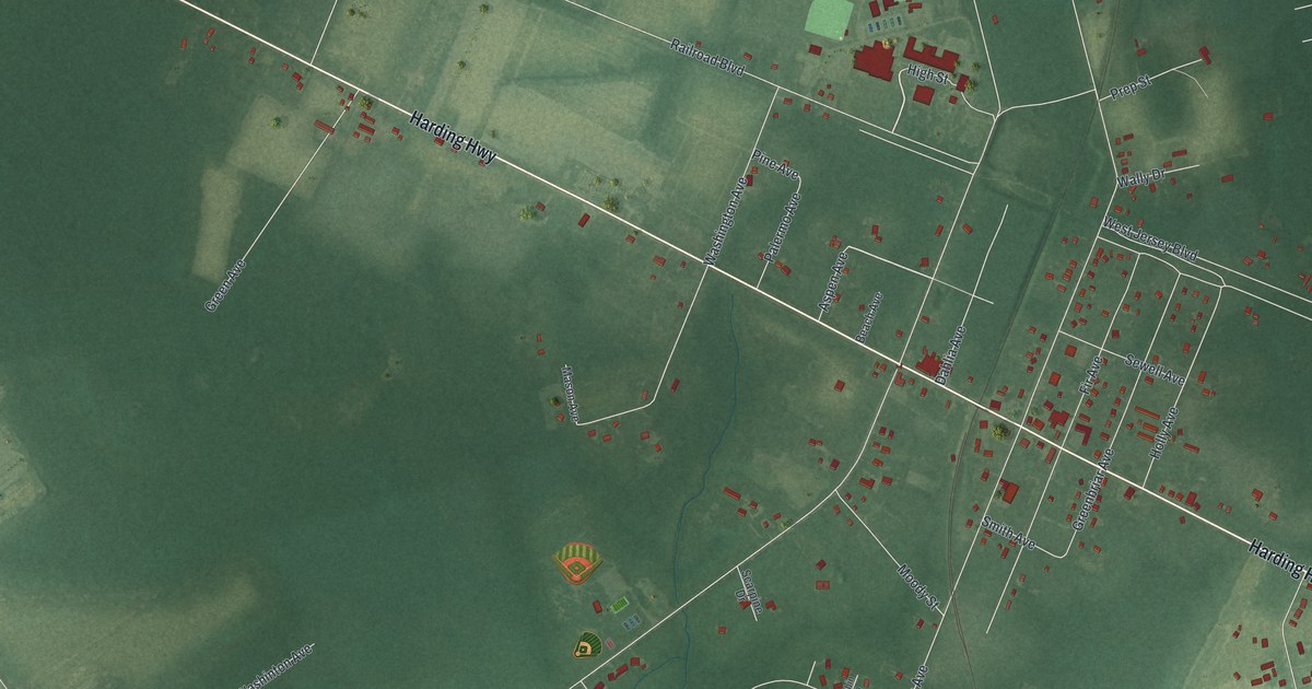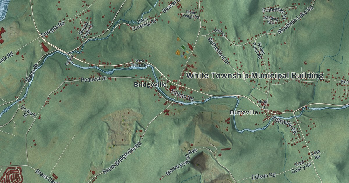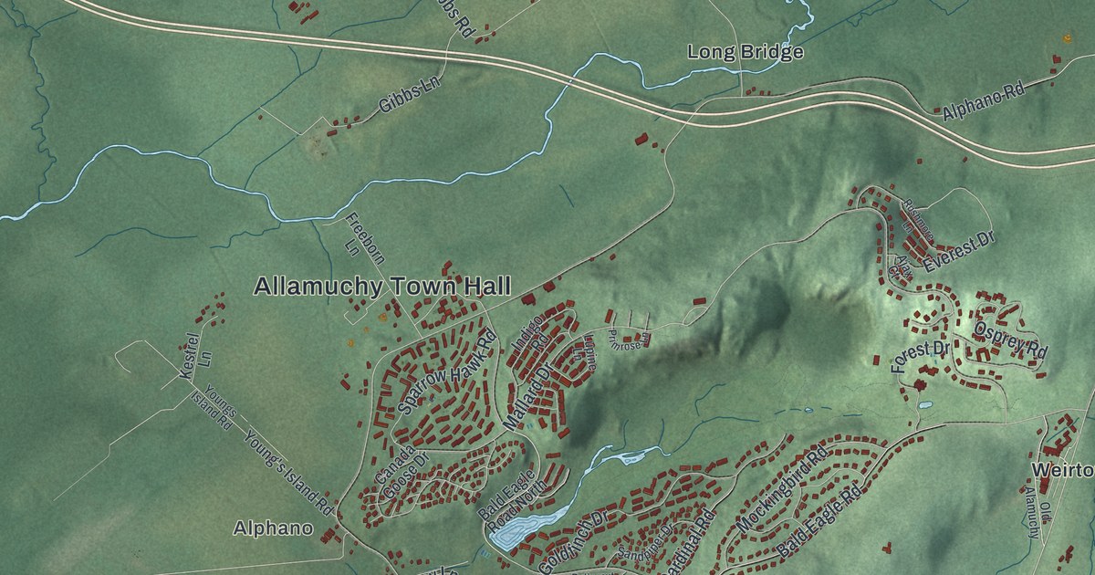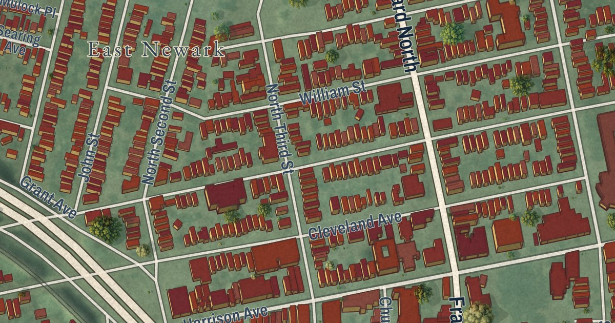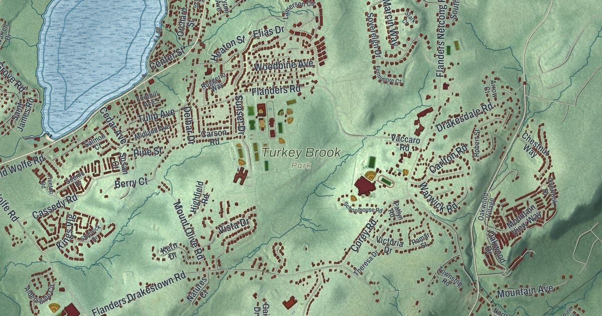
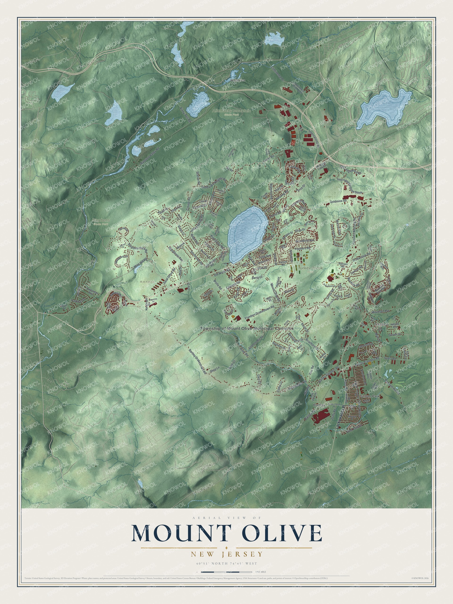
This beautifully detailed map of Mount Olive, New Jersey was created in 2026 using aerial imagery combined with modern topographical, census, street and landmark data. It’s a one-of-a-kind view of Mount Olive that combines accurate data with a vintage aesthetic. The map shows every building in its true location, many of the roads carry their names, and the shaded topographic relief shows the shape of the land.
Explore an aerial view of Mount Olive, New Jersey
On the map you’ll find Township of Mount Olive Municipal Complex, Lackawanna Place, Bartley, Flanders, Sutton Park, Waterloo, Allamuchy Mountain State Park, Stephens State Park, and Turkey Brook Park, along with Bartlry-Flanders Road, Bartley Flanders Road, International Drive, and more. If you look closely you can even find your house accurately drawn in its correct location. Zoom in on the preview to look for yours.
Did You Know?
The township takes its name from Benjamin Olive, a colonial lieutenant governor of New Jersey. He gave land for churches built in the area. Mount Olive was carved out of Roxbury Township in 1871. It includes the communities of Budd Lake and Flanders.
Take a closer look at the Mount Olive map
Names on this map
These names are printed on this map.
Places: Township of Mount Olive Municipal Complex, Allamuchy Mountain State Park, Stephens State Park, Turkey Brook Park, Bartley, Flanders, Sutton Park and Waterloo.
Streets and roads: Lackawanna Place, Bartlry-Flanders Road, Bartley Flanders Road, International Drive, Bartley Road, International Drive South, Elias Drive, River Road, Waterloo Valley Road, Waterloo Road, Pleasant Hill Road, Ironia Road.
More street names, A to Z
Alcrest Avenue, Aldersgate Circle, Anna Drive, Arrow Court, Ashley Drive, Bartley-Chester Road, Bartley Drakestown Road, Bennington Drive, Berry Court, Biscay Drive, Brendan Drive, Briarhurst Drive, Bridle Lane, Brock Lane, Budd Lake Heights Road, Byron Avenue, Camelot Drive, Camp Pulaski, Carlton Road, Carson Road, Cassedy Road, Cathy Lane, Cedar Avenue, Center Street, Cheri Lane, Chestnut Way, Clark Drive, Clover Hill Drive, Connelly Avenue, Continental Drive, Continental Drive North, Corey Road, Crease Road, Crenshaw Drive, David Place, Deer Path Drive, Delbar Drive, Donna Lane, Dorset Drive, Drakesdale Road, Drakestown Road, Drake Way, Duffy Road, Enterprise Road, Erie Trail, Fairway Drive, Falcon Drive, Falcon Road, Fennimore Court, Firetower Road, Flanders Drakestown Road, Flanders Netcong Road, Flanders Road, Foothill Avenue, Force Drive, Forest Road, Fourth Street, Gail Drive, Gary Court, Glendale Road, Goldmine Road, Golf Edge Circle, Gordon Way, Green Hill Road, Grover Street, Grove Street, Heaton Street, Hemlock Drive, Highfield Road, Hillery Drive, Hillside Avenue, Holly Drive, Ike Road, Indian Spring Road, Iroquois Trail, Janice Drive, John Street, Joy Drive, Karen Place, Kennedy Drive, Kern Drive, Kerry Place, Kevin Drive, Kings Court, Kings Vlg, Kinny-Bell Road, Knollwood Road, Lamerson Circle, Laurel Drive, Lisa Drive, Lozier Road, Lucas Lane, Main Street, Marcin Way, Meadow Lane, Midland Avenue, Mill Road, Mine Hill Road, Mountain Avenue, Mountain View Way, Mount Olive Road, Natures Court, Naughright Road, Neill Lane, Netcong Road, North Road, Oakwood Drive, Oakwood Village, Old Budd Lake Road, Old Ledgewood Road, Old Wolfe Road, Orchard Street, Overhill Drive, Overlook Drive, Park Place, Parkway Drive, Patlyn Road, Pine Grove Road, Pine Lane, Pine Street, Player Place, Plaza Road, Pond View Lane, Powhatatan Way, Ramar Street, Rehoboth Road, Ridge Road, River Drive, Robert Street, Rolling Hills Drive, Rose Lane, Ruggerio Way, Saint Andrews Court, Saint James Road, Salmon Court, Sand Shore Road, Saunders Lane, Scenic Drive, Schoolhouse Road, Sherman Place, Shop Lane, Smithtown Road, Southwind Drive, Sovereign Drive, Sowers Drive, Stark Court, Starr Street, Station Road, Stedwick Drive, Stephens Mill Road, Stephens Park Road, Stonehouse Road, Stonewald Court, Sunset Drive, Susan Court, Theresa Drive, Third Street, Tinc Road, Township Road, Treetop Road, Trevino Road, Tulip Avenue, Vaccaro Road, Vasa Drive, Victoria Drive, Vista Drive, Warren Drive, Warwick Road, Western Drive, Willow Pond Circle, Winding Hill Drive, Wolfe Road, Woodbine Avenue, Woodcrest Avenue, Yaldi Court.
See it on a wall
The Mount Olive map as an 18 x 24 inch print in a black frame.

This beautifully detailed map of Mount Olive makes an attractive addition to your office, library, or den, and it can even be used to teach children the geography and history of the area. It also makes a great gift for anyone who grew up in Mount Olive or moved away. When you’re done exploring, click here to get your copy of the Mount Olive map.