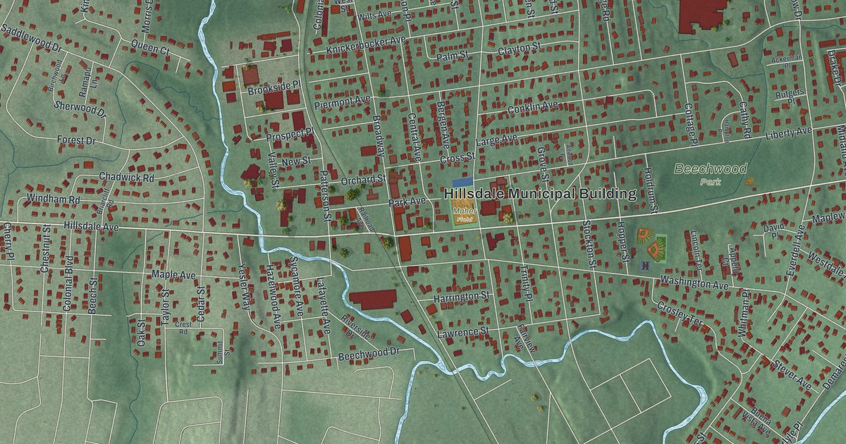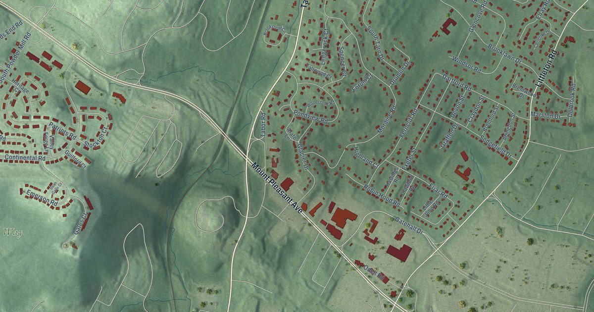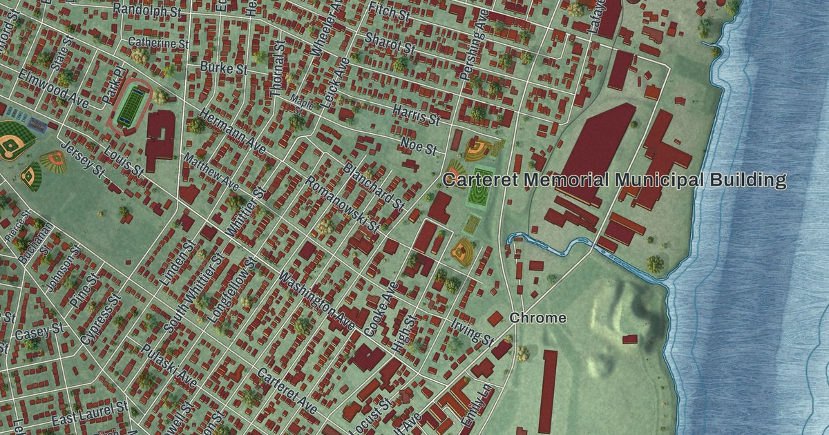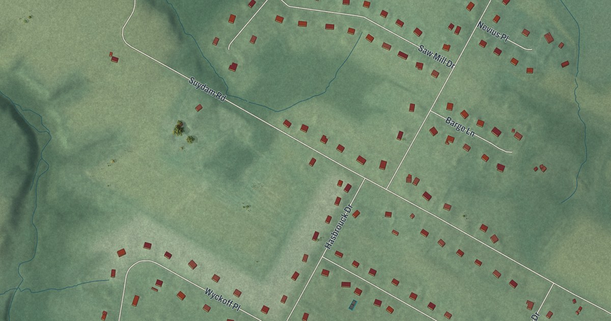
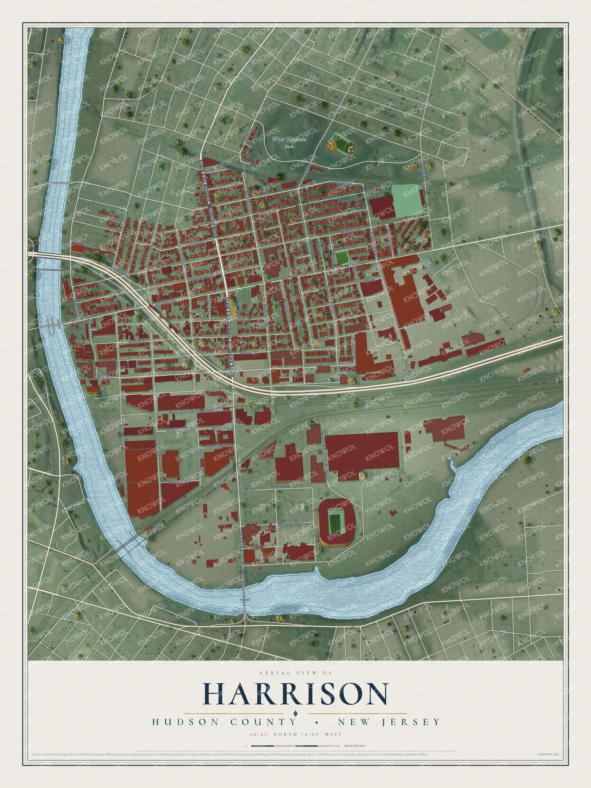
This beautifully detailed map of Harrison, Hudson County, New Jersey was created in 2026 using aerial imagery combined with modern topographical, census, street and landmark data. It’s a one-of-a-kind view of Harrison that combines accurate data with a vintage aesthetic. The map shows every building in its true location, many of the roads carry their names, and the shaded topographic relief shows the shape of the land.
Explore an aerial view of Harrison, Hudson County, New Jersey
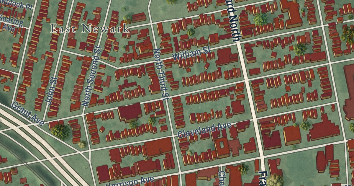
On the map you’ll find East Newark and West Hudson Park, along with Frank East Rodgers Boulevard North, Fourth Street, Frank East Rodgers Boulevard South, Harrison Avenue, Devon Street, Central Avenue, Kingsland Avenue, Bergen Street, North Fifth Street, South Seventh Street, and more. If you look closely you can even find your house accurately drawn in its correct location. Zoom in on the preview to look for yours.
Did You Know?
Seeking a second term in 1912, President William Howard Taft spoke at a rally in Harrison. He told residents they could be proud of their hive of industry. The town made The Beehive of Industry its motto. During World War II, more than 90,000 workers commuted each day into this town of about 14,000.
Take a closer look at the Harrison, Hudson County map
Names on this map
These names are printed on this map.
Places: East Newark and West Hudson Park.
Streets and roads: Frank East Rodgers Boulevard North, Frank East Rodgers Boulevard South, Harrison Avenue, Devon Street, Central Avenue, Kingsland Avenue, Bergen Street, North Fifth Street, South Seventh Street, Hamilton Street, Warren Street, Essex Street.
More street names, A to Z
Angelo Cifelli Drive, Ann Street, Burlington Street, Cape May Street, Cape May Street Northwest, Church Square, Cleveland Avenue, Cross Street, Crucible Drive, Davis Avenue, Davis Court, Davis Street, Dey Street, Franklin Avenue, Grace Terrace, Grant Avenue, Guyon Drive, Hiram Place, Jersey Street, John Street, Malone Place, Manor Avenue, McGuigan Place, Metrocenter Drive, Middlesex Street, Mulock Place, New Jersey Railroad Avenue, North Second Street, North Third Street, Ogden Avenue, Passaic Avenue, Patterson Street, Reynolds Avenue, Schuyler Avenue, Scott Mobus Place, Searing Avenue, Seventh Street, Sixth Street, Somerset Street, South Fifth Street, South First Street, South Second Street, South Third Street, Supor Boulevard, Sussex Street, Taft Place, Washington Street, Wilhelm Street, William Street.
See it on a wall
The Harrison, Hudson County map as an 18 x 24 inch print in a black frame.

This beautifully detailed map of Harrison, Hudson County makes an attractive addition to your office, library, or den, and it can even be used to teach children the geography and history of the area. It also makes a great gift for anyone with Harrison roots. When you’re done exploring, click here to get your copy of the Harrison, Hudson County map.