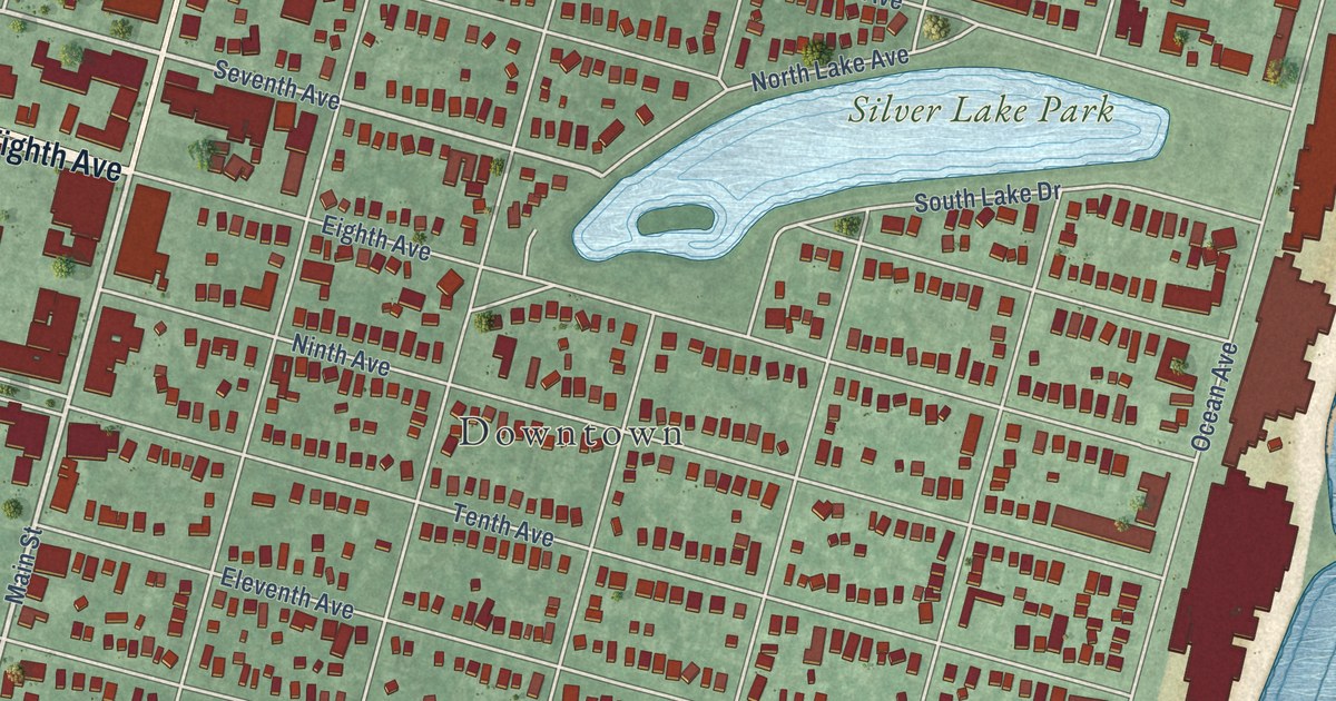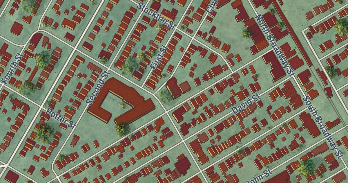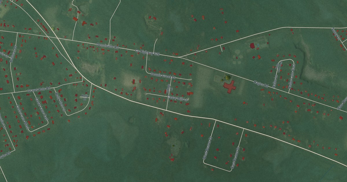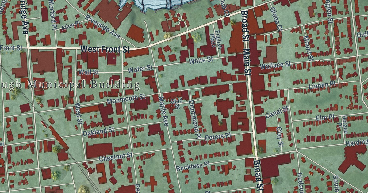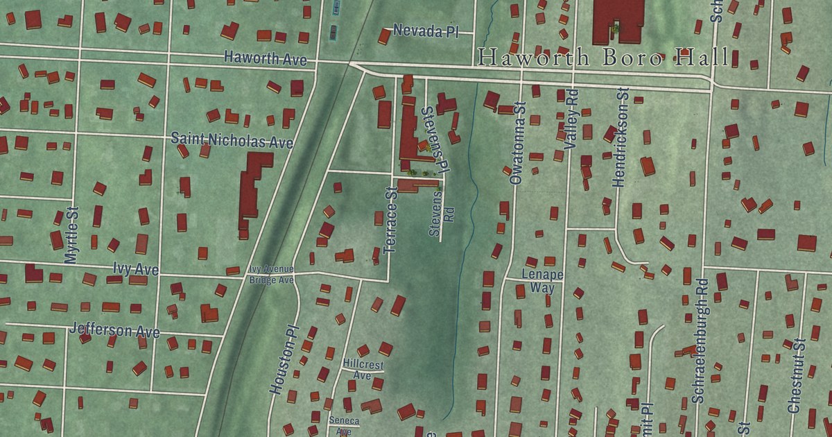
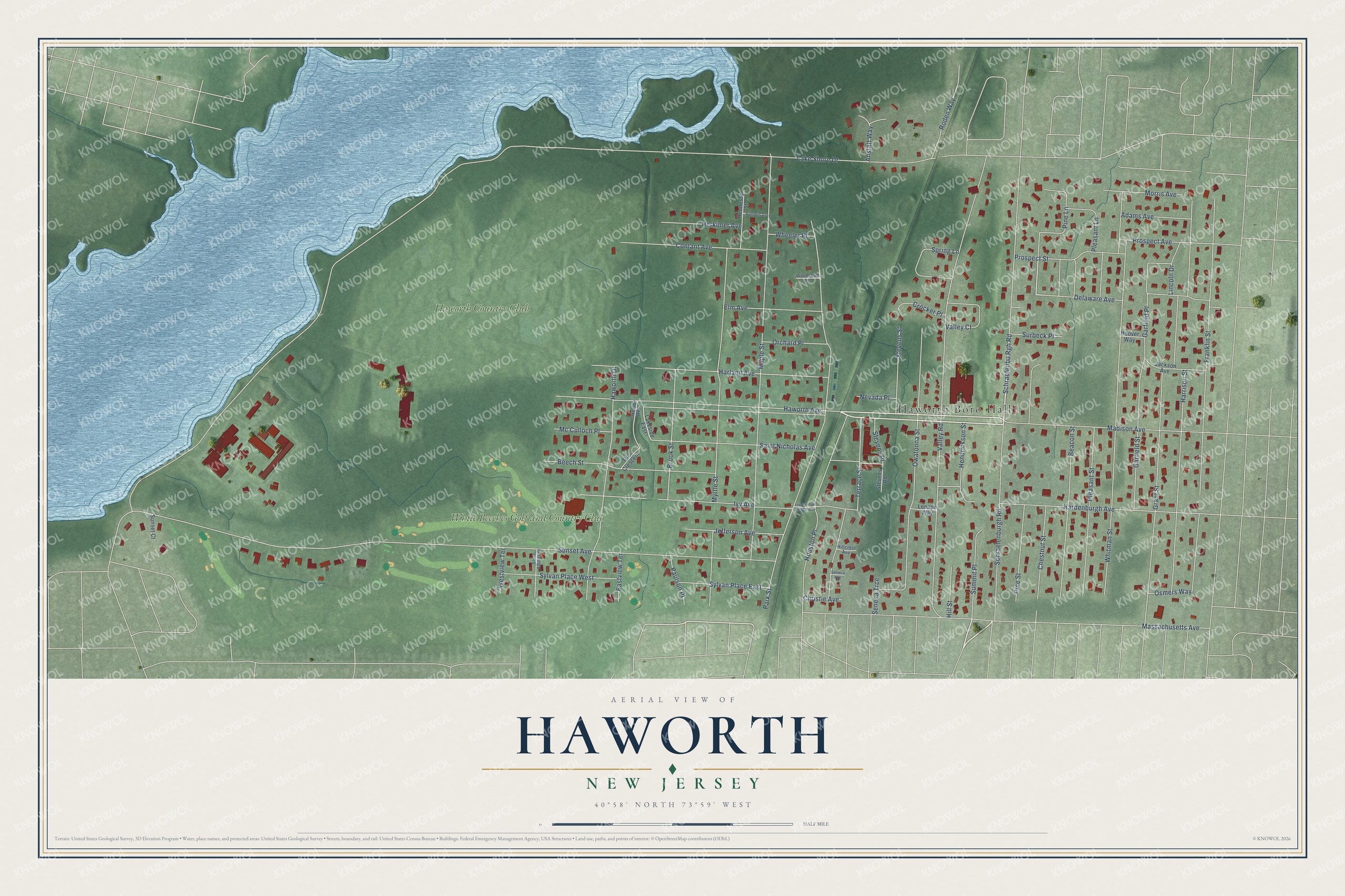
This beautifully detailed map of Haworth, New Jersey was created in 2026 using aerial imagery combined with modern topographical, census, street and landmark data. It’s a one-of-a-kind view of Haworth that combines accurate data with a vintage aesthetic. The map shows every building in its true location, many of the roads carry their names, and the shaded topographic relief shows the shape of the land.
Explore an aerial view of Haworth, New Jersey
On the map you’ll find Haworth Boro Hall, Haworth Country Club, and White Beeches Golf and Country Club, along with Haworth Avenue, Schraelenbu Rgh Road, Pine Street, Lake Shore Drive, Sunset Avenue, Valley Road, Whitman Street, Maple Street, Park Street, and more. If you look closely you can even find your house accurately drawn in its correct location. Zoom in on the preview to look for yours.
Did You Know?
The New Jersey Legislature created Haworth on February 24, 1904, carving it out of Dumont and Harrington Township. The new borough was named after Haworth, a historic village in England.
Take a closer look at the Haworth map
Names on this map
These names are printed on this map.
Places: Haworth Boro Hall, Haworth Country Club and White Beeches Golf and Country Club.
Streets and roads: Haworth Avenue, Schraelenbu Rgh Road, Pine Street, Lake Shore Drive, Sunset Avenue, Valley Road, Whitman Street, Maple Street, Park Street, Massachusetts Avenue, Harrison Street, Franklin Street.
More street names, A to Z
Adams Avenue, Anstatt Way, Baldwin Avenue, Beacon Street, Beech Street, Brook Street, Chestnut Street, Christie Avenue, Contant Avenue, Crocker Place, Delaware Avenue, Eastview Terrace, Elm Avenue, Garfield Place, Garfield Street, Grant Street, Hardenburgh Avenue, Harland Avenue, Haworth Drive, Hendrickson Street, Hennessy Street, Herkimer Avenue, Hillcrest Avenue, Hill Street, Hoover Way, Houston Place, Ivy Avenue, Ivy Avenue Bridge Avenue, Jackson Avenue, Jefferson Avenue, Lakeside East, Lakeside West, Lenape Way, Lincoln Drive, Madison Avenue, Mc Culloch Place, Morris Avenue, Myrtle Street, Nevada Place, Orchard Place, Osmers Way, Owatonna Street, Paulson Place, Pine Lane, Pleasant Lane, Pleasant Street, Prospect Avenue, Prospect Street, Roden Way, Saint Albans Place, Saint Nicholas Avenue, Schraelenburgh Road, Seneca Avenue, Seneca Trce, Spring Lane, Stevens Place, Stevens Road, Stevens Street, Summit Place, Sunset Court, Surbeck Place, Sylvan Place East, Sylvan Place West, Terrace Street, The Crescent, Valley Court, Westview Terrace, Wheeler Place, Woodland Place.
See it on a wall
The Haworth map as an 18 x 24 inch print in a black frame.

This beautifully detailed map of Haworth makes an attractive addition to your office, library, or den, and it can even be used to teach children the geography and history of the area. It also makes a great gift for anyone with Haworth roots. When you’re done exploring, click here to get your copy of the Haworth map.