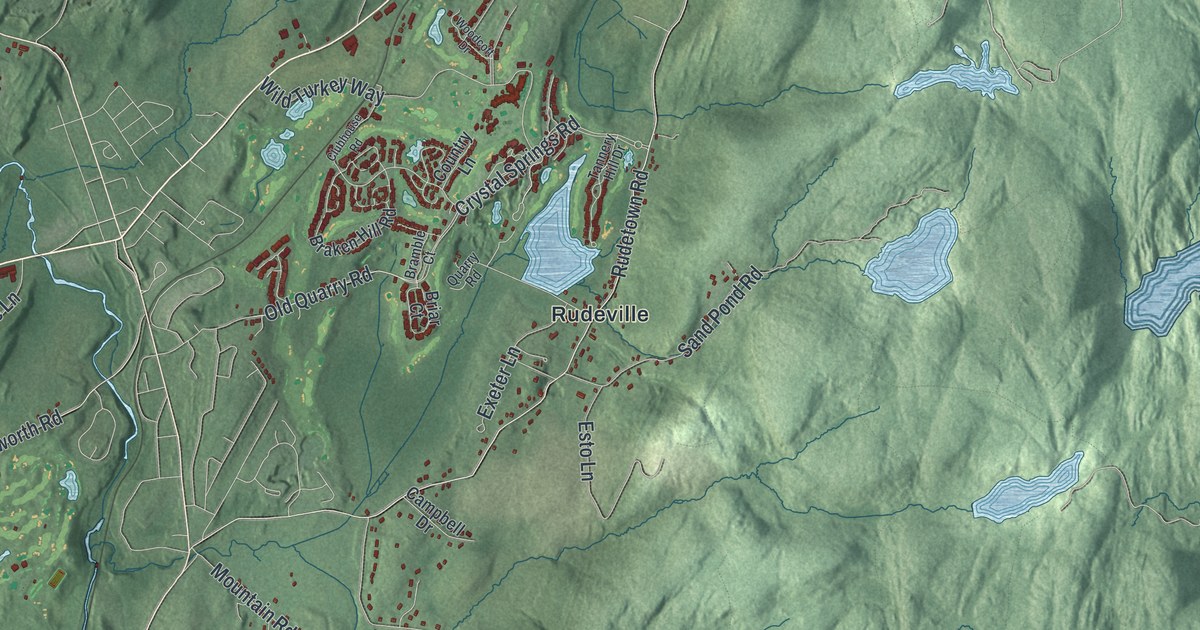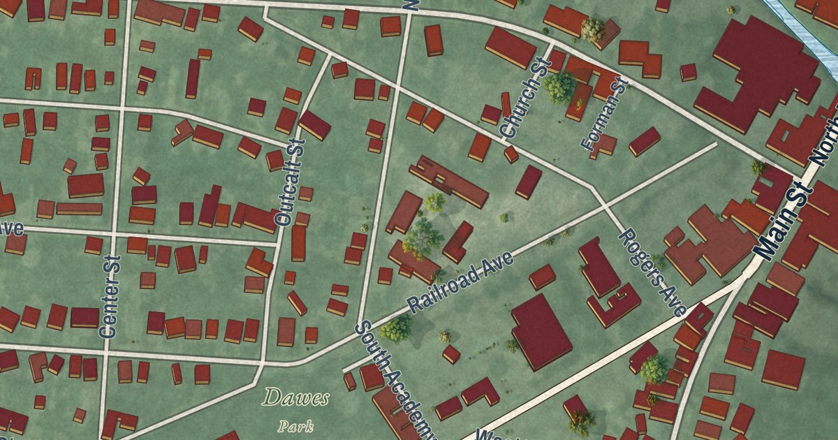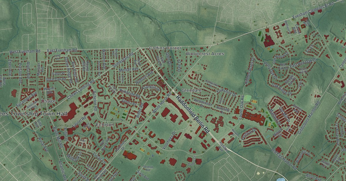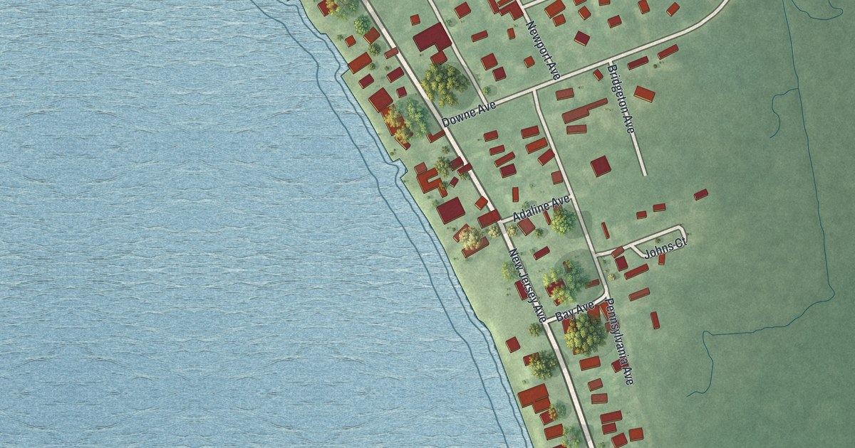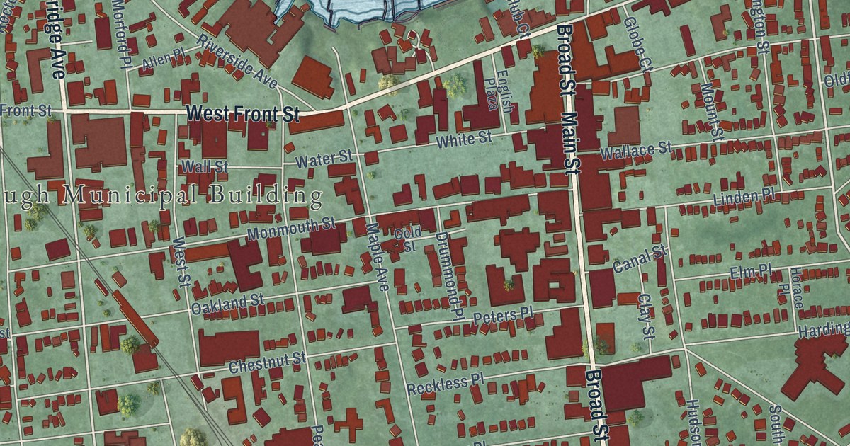
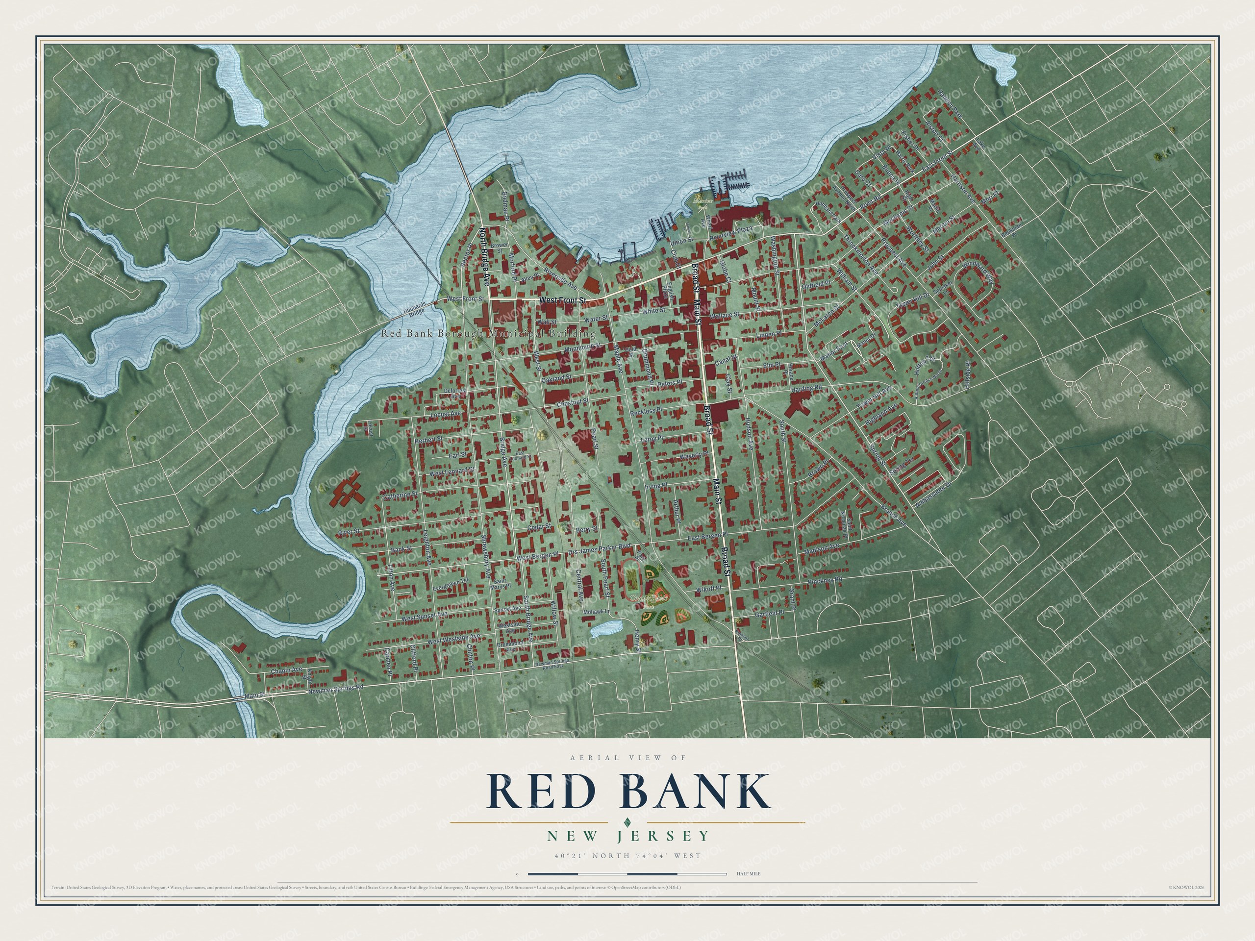
This beautifully detailed map of Red Bank, New Jersey was created in 2026 using aerial imagery combined with modern topographical, census, street and landmark data. It’s a one-of-a-kind view of Red Bank that combines accurate data with a vintage aesthetic. The map shows every building in its true location, many of the roads carry their names, and the shaded topographic relief shows the shape of the land.
Explore an aerial view of Red Bank, New Jersey
On the map you’ll find Red Bank Borough Municipal Building, Count Basie Park, and Marine Park, along with Front Street, Bridge Avenue, Broad Street, Main Street, and more. If you look closely you can even find your house accurately drawn in its correct location. Zoom in on the preview to look for yours.
Did You Know?
Red Bank took its name from the clay banks of the Navesink River. The river also made the town important. By 1939, the river had been the ice-boating center of the New York area for more than 50 years. That’s from the 1939 WPA guide to New Jersey.
Take a closer look at the Red Bank map
Names on this map
These names are printed on this map.
Places: Red Bank Borough Municipal Building, Count Basie Park, Marine Park, Haddon Park, Hubbard Park and Harris Park.
Streets and roads: West Front Street, North Bridge Avenue, Broad Street, Main Street, Newman Springs Road, East Front Street, River Road, Rector Place, Spring Street, Manor East, Bridge Avenue, Harding Road.
More street names, A to Z
Allen Place, Alston Court, Ambassador Drive, Arthur Place, Bank Street, Beekman Place, Berry Street, Bodman Place, Branch Avenue, Brower Street, Brown Place, Buena Place, Canal Street, Carmen Place, Caro Court, Catherine Street, Cedar Street, Central Avenue, Chapin Avenue, Chestnut Street, Clay Street, Clifford Place, Clinton Place, Club Court, Deforrest Avenue, Drs James Parker Boulevard, Drummond Avenue, Drummond Place, Earl Street, East Bergen Place, East Leonard Street, Elm Place, English Plaza, Evergreeen Terrace, Fisher Place, Garfield Place, Globe Court, Gold Street, Grant Place, Harrison Avenue, Henry Street, Herbert Street, Highland Avenue, High Street, Hillside Place, Hilltop Terrace, Hilltop Terrace North, Horace Place, Hubbards Bridge, Hudson Avenue, Irving Place, John Street, Knight Street, Lake Avenue, Leighton Avenue, Leroy Place, Linden Place, Locust Avenue, Locust Place, Madison Avenue, Manor Drive, Maple Avenue, Marion Street, Marlin Place, McLaren Street, Mechanic Street, Mohawk Lane, Monmouth Street, Morford Place, Mori Place, Mount Street, Newman Springs Road East, Oakland Street, Oakley Lane, Oldfield Place, Park Place, Pearl Street, Peters Place, Pinckney Road, Prospect Avenue, Prospect Avenue North, Reckless Place, Riverside Avenue, River Street, Riverview Plaza, Rumson Place, Saint Marys Place, Saint Nicholas Place, Shrewsbury Avenue, South Bridge Avenue, South Pearl Street, South Street, Spinaker Lane, Spring Terrace, Sunset Avenue, Throckmorton Avenue, Tilton Avenue, Tower Hill Avenue, Tower Hill Drive, Union Street, Vista Place, Wallace Street, Wall Street, Washington Street, Water Street, Waverly Place, West Bergen Place, West Leonard Street, Westside Avenue, West Street, West Sunset Avenue, West Westside Avenue, Wharf Avenue, White Street, Wikoff Place, William Street, Willow Street, Windward Way, Worthley Street.
See it on a wall
The Red Bank map as an 18 x 24 inch print in a black frame.

This beautifully detailed map of Red Bank makes an attractive addition to your office, library, or den, and it can even be used to teach children the geography and history of the area. It also makes a great gift for anyone who grew up in Red Bank or moved away. When you’re done exploring, click here to get your copy of the Red Bank map.