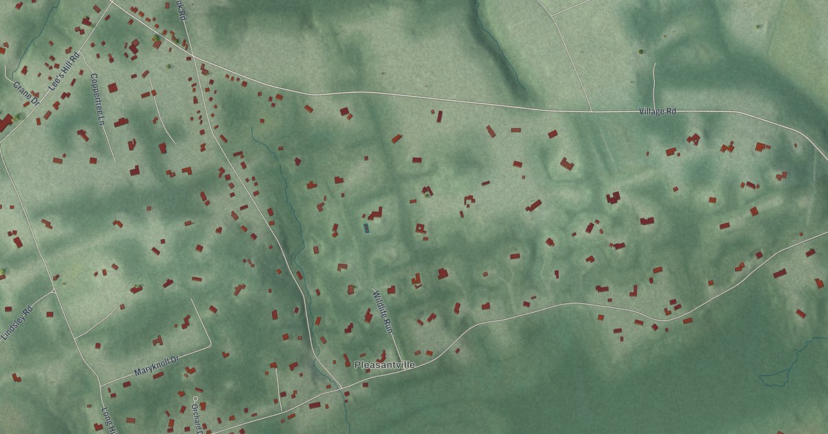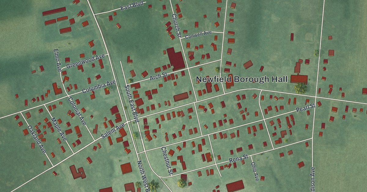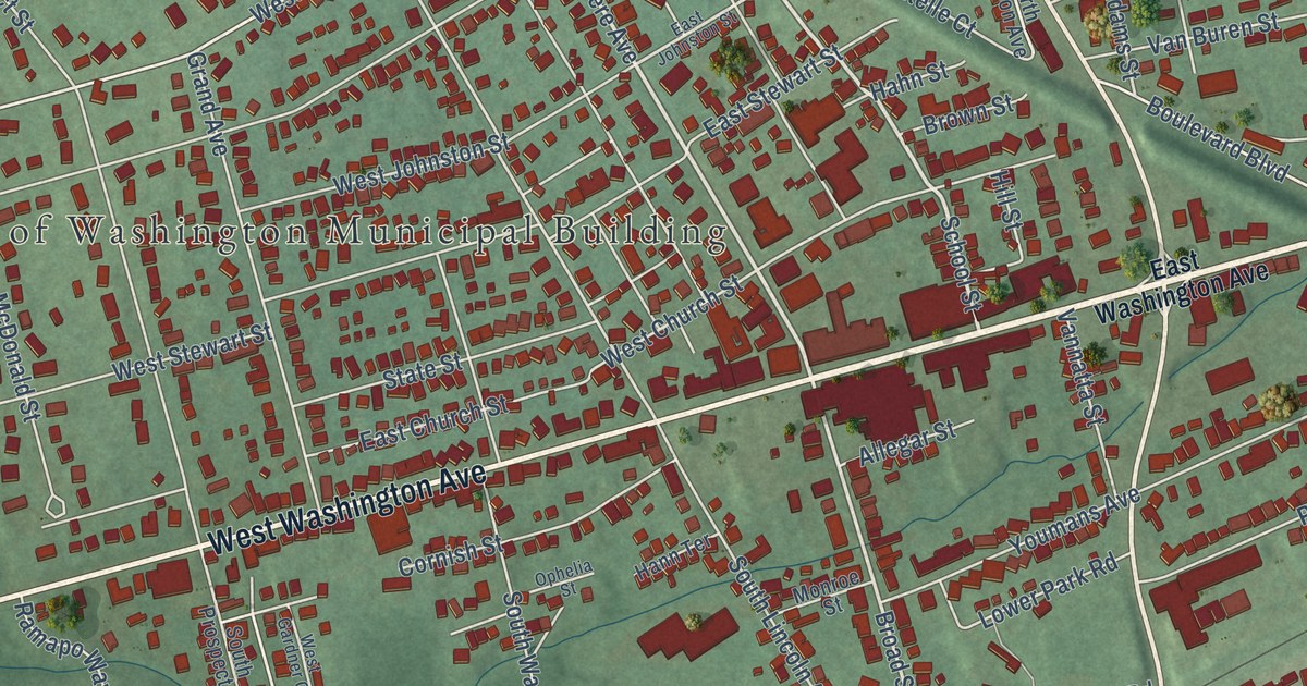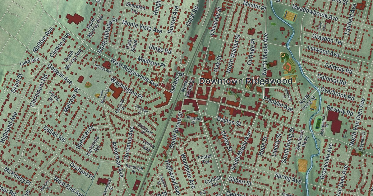
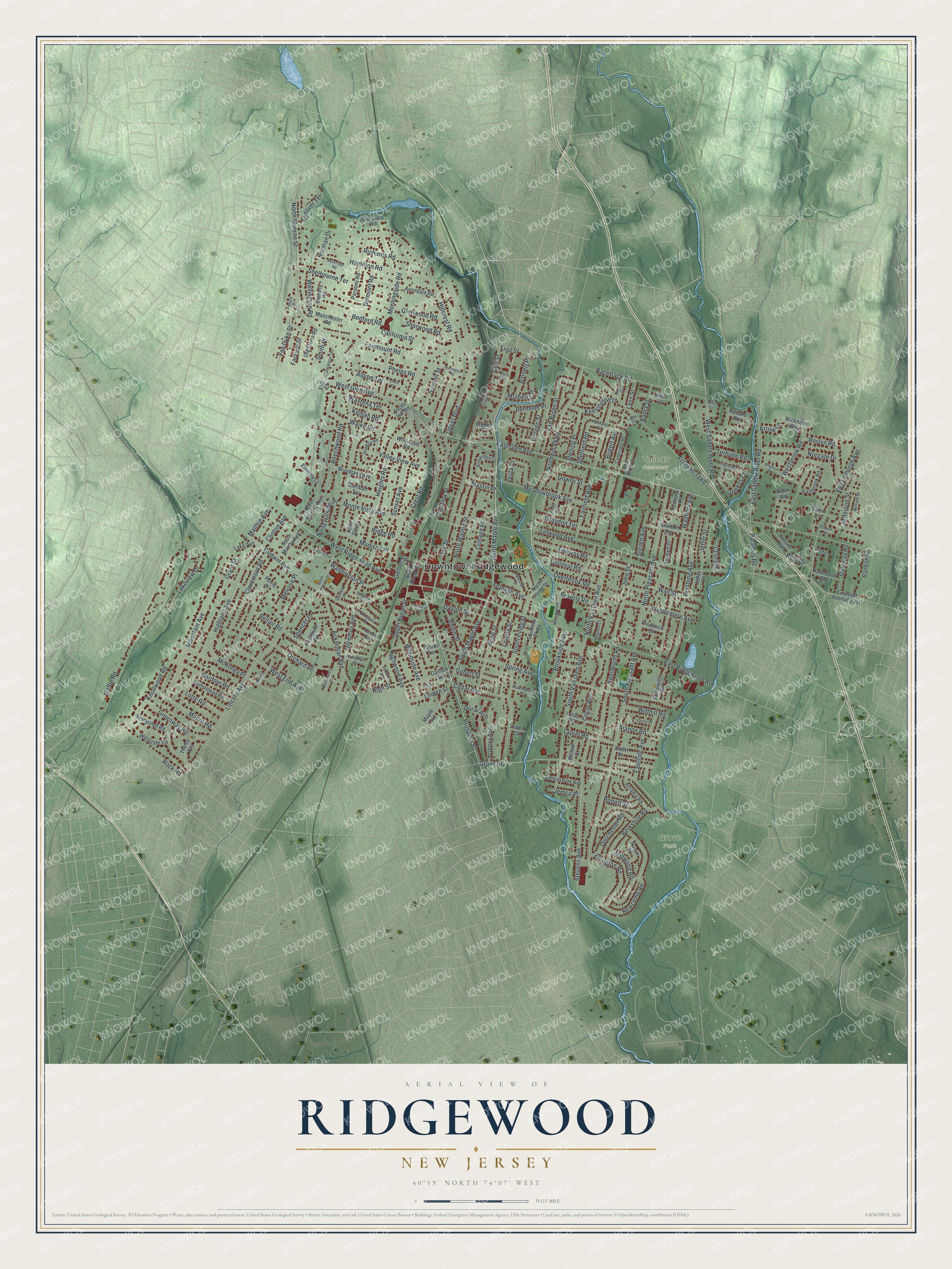
This beautifully detailed map of Ridgewood, New Jersey was created in 2026 using aerial imagery combined with modern topographical, census, street and landmark data. It’s a one-of-a-kind view of Ridgewood that combines accurate data with a vintage aesthetic. The map shows every building in its true location, many of the roads carry their names, and the shaded topographic relief shows the shape of the land.
Explore an aerial view of Ridgewood, New Jersey
On the map you’ll find Downtown Ridgewood, Grove Park, and Valleau Cemetery, along with Glen Avenue, Maple Avenue, Northern Parkway, Prospect Street, and more. If you look closely you can even find your house accurately drawn in its correct location. Zoom in on the preview to look for yours.
Did You Know?
The Old Paramus Reformed Church in Ridgewood was founded in 1725. The Continental Army used the church for several years during the Revolutionary War. In 1778, General Charles Lee faced his court-martial there. The present church building dates to 1800.
Take a closer look at the Ridgewood map
Names on this map
These names are printed on this map.
Places: Downtown Ridgewood, Grove Park and Valleau Cemetery.
Streets and roads: East Glen Avenue, North Maple Avenue, Northern Parkway, Prospect Street, South Maple Avenue, Grove Street, West Ridgewood Avenue, Garber Square, Linwood Avenue, Hillcrest Road, North Monroe Street, East Ridgewood Avenue.
More street names, A to Z
Ackerman Avenue, Alanon Road, Albert Place, Albin Court, Alpine Terrace, Amsterdam Avenue, Andover Terrace, Arcadia Road, Arden Court, Arrow Lane, Auburn Avenue, Avondale Road, Banta Street, Barnett Place, Barrington Road, Bedford Road, Beechwood Road, Bellair Road, Belmont Road, Berkshire Road, Best Court, Betty Court, Beveridge Road, Beverly Road, Bingham Road, Bogert Avenue, Brookmere Court, Brookside Avenue, Bryden Place, Burnside Place, California Street, Cambridge Road, Carlisle Terrace, Cedar Avenue, Chestnut Street, Circle Avenue, Claremont Road, Cliff Street, Clinton Avenue, Colonial Road, Colwell Court, Corona Place, Cottage Place, Crest Road, Darby Court, Dayton Street, Demarest Street, Dorchester Road, Doremus Avenue, Doris Place, Downing Street, Downs Street, Durar Avenue, Eastbrook Road, East Saddle River Road, Eastside Avenue, Edwards Street, Elaine Terrace, Ellington Road, Elm Court, Elmsley Court, Emmett Place, Ethelbert Place, Fairfield Avenue, Fairmount Road, Fairway Road, Farview Street, Ferris Place, First Street, Foster Terrace, Franklin Avenue, Franklin Turnpike, Frederick Street, Gardner Road, Garfield Place, Gateway Road, George Street, Gilbert Street, Glenview Road, Glenwood Road, Godwin Avenue, Goffle Road, Grant Street, Graydon Terrace, Greenway Road, Hamilton Road, Hammond Road, Hawthorne Place, Heermance Place, Heights Road, Hempstead Road, Highland Avenue, High Street, Highwood Avenue, Hillside Avenue, Hope Street, Hopper Avenue, Howard Road, Hunter Road, Ivy Place, Jackson Terrace, Jeffer Court, Jefferson Street, Jeffer Street, Jemco Place, John Street, Katherine Road, Kemah Road, Kenilworth Road, Kensington Drive, Kingsbridge Lane, Knollwood Road, Lake Avenue, Lakeview Drive, Laurel Road, Lenox Avenue, Libby Avenue, Liberty Street, Lincoln Avenue, Linden Street, Linwood Avenue East, Lotte Road, Lotus Road, Lynn Street, Madison Place, Maltbie Avenue, Manchester Road, Manor Road, Maple Avenue, Marshall Street, Mastin Place, McKinley Place, Meadowbrook Avenue, Melrose Place, Midvale Street, Midwood Road, Monte Vista Avenue, Morningside Road, Mountain Avenue, Mulberry Place, Nagle Street, Newcomb Road, Norgate Drive, Norman Drive, North Broad Street, North Hillside Place, North Irving Street, North Murray Avenue, North Pleasant Avenue, North Road, North Van Dien Avenue, North Walnut Street, Oak Street, Old Stone Road, Orchard Place, Overbrook Road, Paramus Road, Park Slope, Parsons Road, Passaic Street, Patricia Court, Pershing Avenue, Phelps Road, Pine Street, Ponfield Place, Queens Court, Racetrack Road, Randolph Place, Red Birch Court, Reynen Court, Richards Road, Ridge Road, Robert Street, Rock Road, Roslyn Road, Salem Lane, Sheffield Road, Shelbourne Terrace, Shelton Road, Sheridan Terrace, Sherman Place, Sherwood Road, Smith Place, Sollas Court, Somerville Road, South Broad Street, Southern Parkway, South Hill Road, South Irving Street, South Monroe Street, South Murray Avenue, South Pleasant Avenue, South Van Dien Avenue, Spencer Place, Spring Avenue, Standish Road, Steilen Avenue, Sterling Place, Stevens Avenue, Stonycroft Road, Summit Street, Sunset Avenue, Terhune Road, The by Way, Theyken Place, Unadilla Road, Union Street, Upper Boulevard, Valley View Avenue, Van Buren Street, Van Dyke Street, Van Emburgh Avenue, Vesta Court, Waiku Road, Wall Street, Walthery Avenue, Washington Place, Wastena Terrace, Waverly Road, Wellington Road, Westbrook Road, West End Avenue, Westgate Road, West Glen Avenue, West Saddle River Road, Wickham Way, Wildwood Road, William Street, Willow Court, Witthill Road, Woodland Avenue, Woodside Avenue, Wyndemere Avenue.
See it on a wall
The Ridgewood map as an 18 x 24 inch print in a black frame.

This beautifully detailed map of Ridgewood makes an attractive addition to your office, library, or den, and it can even be used to teach children the geography and history of the area. It also makes a great gift for anyone who grew up in Ridgewood or moved away. When you’re done exploring, click here to get your copy of the Ridgewood map.