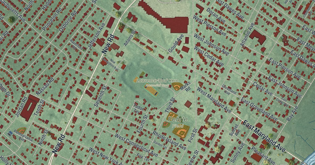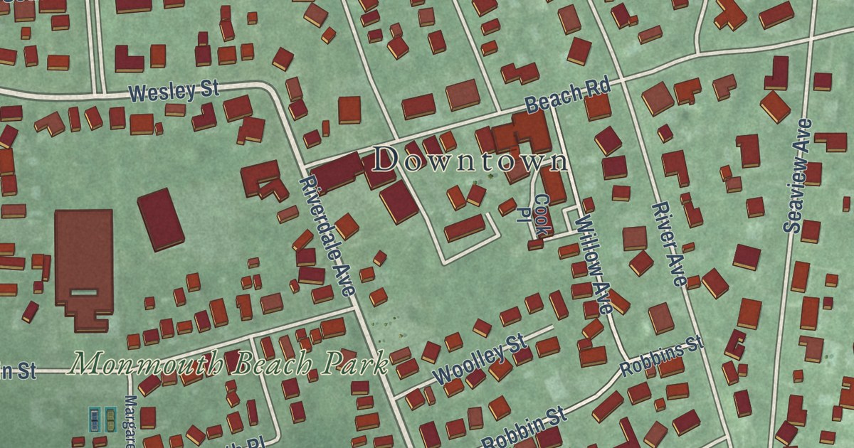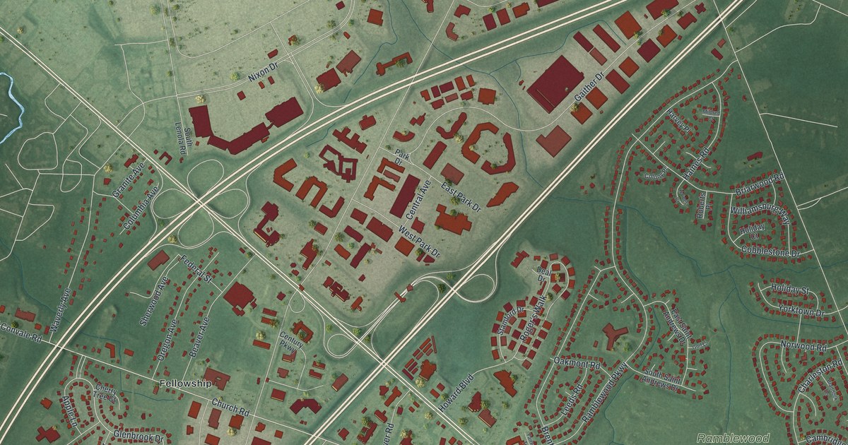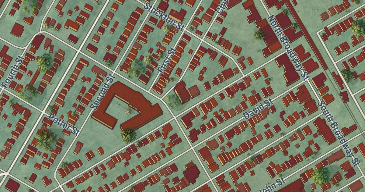
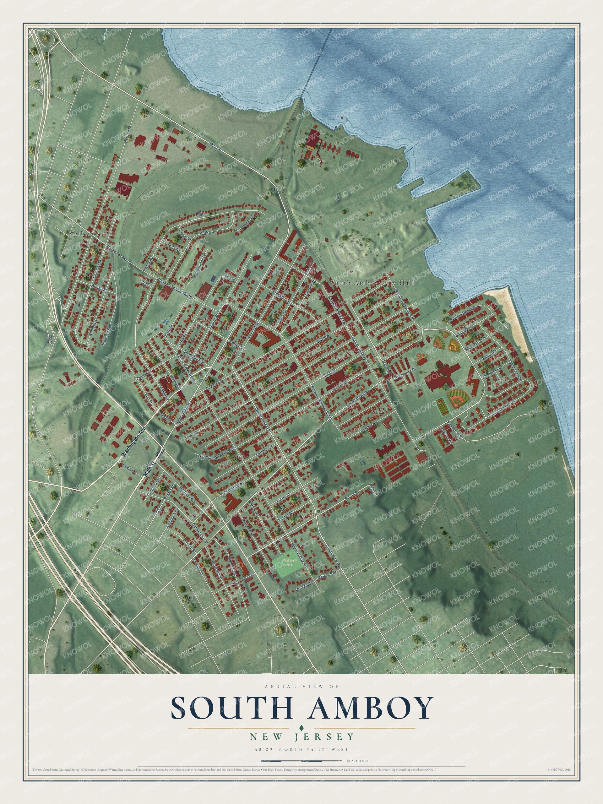
This beautifully detailed map of South Amboy, New Jersey was created in 2026 using aerial imagery combined with modern topographical, census, street and landmark data. It’s a one-of-a-kind view of South Amboy that combines accurate data with a vintage aesthetic. The map shows every building in its true location, many of the roads carry their names, and the shaded topographic relief shows the shape of the land.
Explore an aerial view of South Amboy, New Jersey
On the map you’ll find South Amboy City Hall, Mechanicsville, and Veteran’s Park, along with Main Street, Washington Avenue, Portia Street, Ridgeway Avenue, and more. If you look closely you can even find your house accurately drawn in its correct location. Zoom in on the preview to look for yours.
Did You Know?
South Amboy was a clay town as early as 1807, when workers dug its first claypits. It also became one of the largest railroad terminals for Pennsylvania hard coal. Coal was dumped into barges here and towed to New York and New England. That’s from the 1939 WPA guide to New Jersey.
Take a closer look at the South Amboy map
Names on this map
These names are printed on this map.
Places: South Amboy City Hall, Veteran's Park and Mechanicsville.
Streets and roads: Main Street, Washington Avenue, Portia Street, Ridgeway Avenue, Mason Street, North Pine Avenue, South Pine Avenue, Feltus Street North, Raritan Street, Bordentown Avenue, David Street, John Street.
More street names, A to Z
Adamecs Way, Alpine Street, Augusta Street, Barkalow Street, Bayshore Drive, Bayside Court, Bertram Avenue, Blue Heron Drive, Campbell Street, Catherine Street, Cedar Street, Center Street, Charles Street, Charmello Drive, Church Street, Colonel Db Kelly Way, Conlogue Avenue, Connors Drive, Conover Street, Cross Avenue, Davis Lane, Dayton Street, Division Street, Elm Street, Ferris Street, Fifth Street, First Street, Fourth Street, George Street, Gordon Street, Grace Drive, Henry Street, Highland Street, Hillcrest Avenue, Keenan Way, Lefferts Street, Lighthouse Drive, Louisa Street, Lovely Drive, Macedulski Terrace, Meacham Drive, North Broadway Street, North Rosewell Avenue, Orchard Place, Osprey Drive, Parker Avenue, Potter Street, Prospect Street, Pupek Road, Railroad Avenue, Raritan Reach Road, Reese Court, Robert Street, Sandpiper Drive, Second Street, Sixth Street, South Broadway Street, South Feltus Street, South Shore Drive, Spinnaker Drive, Stevens Avenue, Stevens Avenue North, Stevens Avenue South, Stockton Street, Thomas Road, Thompson Street, Upper Main Street, Walnut Street, Ward Avenue, Weber Terrace, Welsh Street, Wilmont Street.
See it on a wall
The South Amboy map as an 18 x 24 inch print in a black frame.

This beautifully detailed map of South Amboy makes an attractive addition to your office, library, or den, and it can even be used to teach children the geography and history of the area. It also makes a great gift for someone who left South Amboy and still calls it home. When you’re done exploring, click here to get your copy of the South Amboy map.