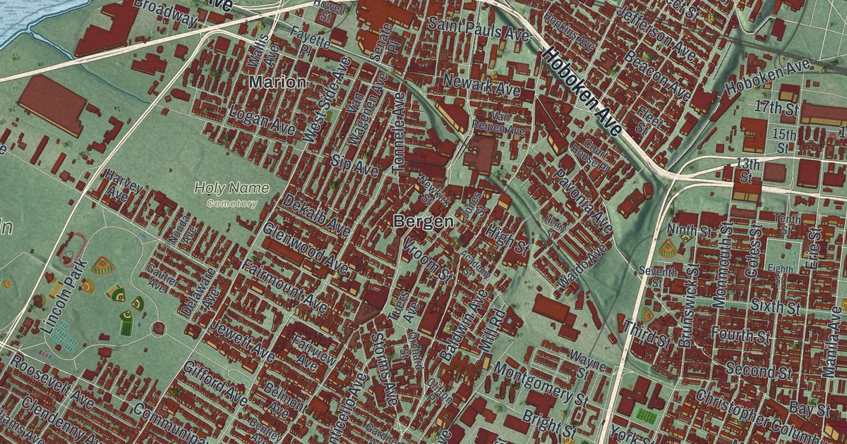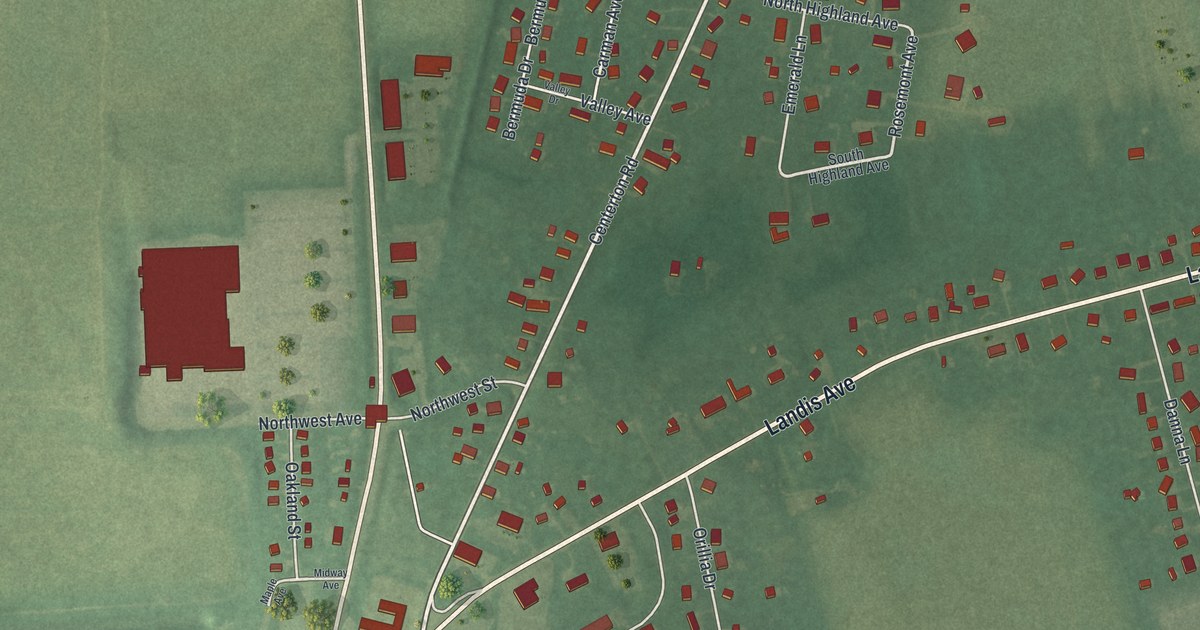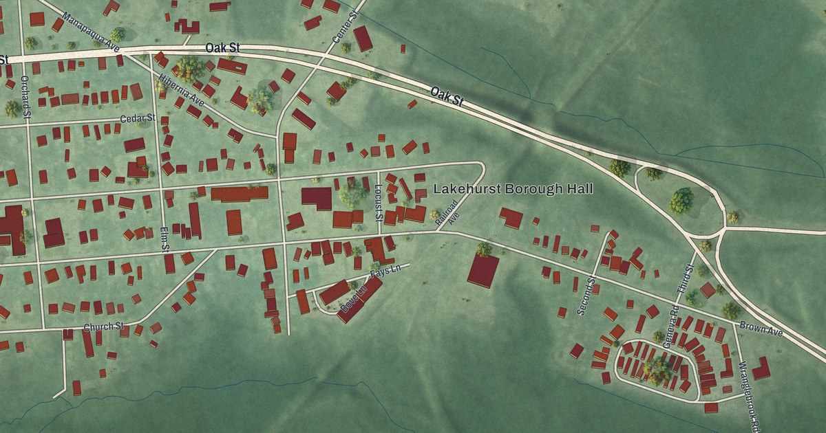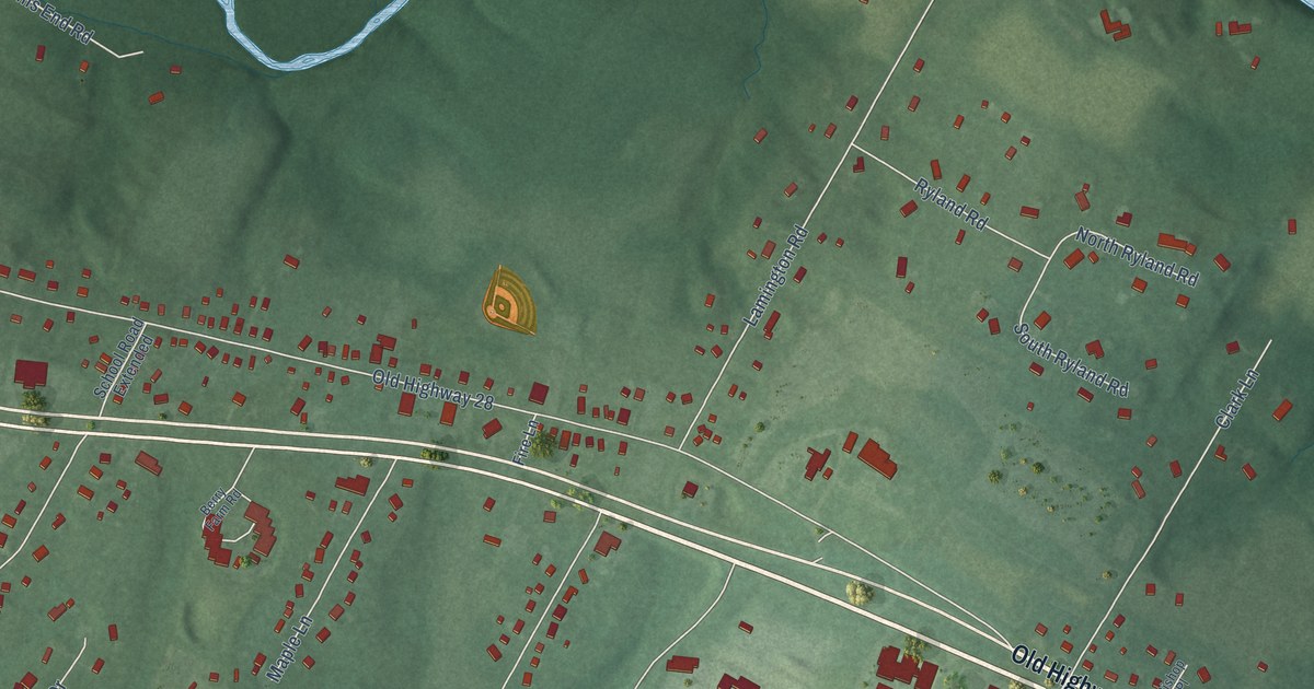
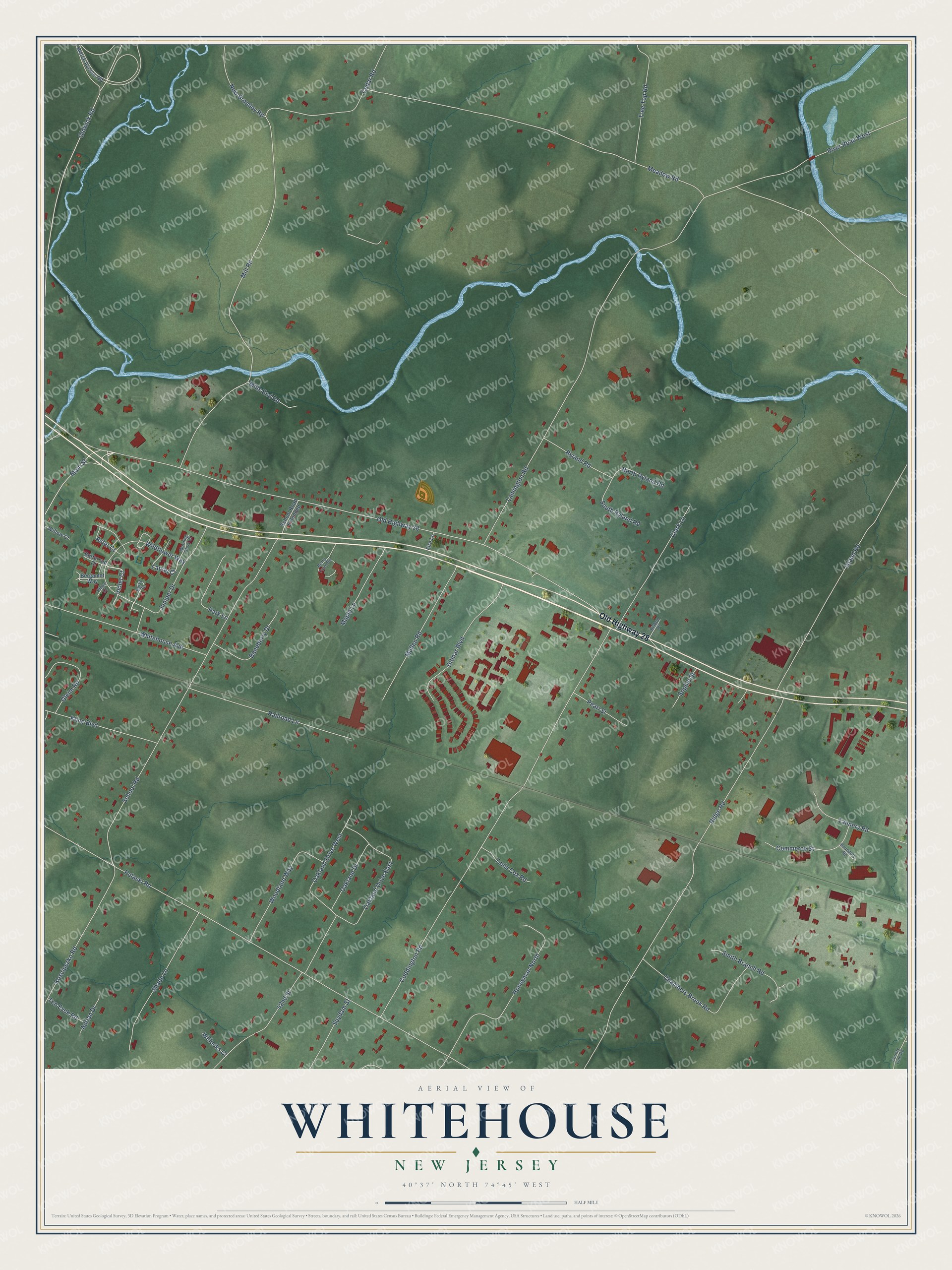
This beautifully detailed map of Whitehouse, New Jersey was created in 2026 using aerial imagery combined with modern topographical, census, street and landmark data. It’s a one-of-a-kind view of Whitehouse that combines accurate data with a vintage aesthetic. The map shows every building in its true location, many of the roads carry their names, and the shaded topographic relief shows the shape of the land.
Explore an aerial view of Whitehouse, New Jersey
On the map you’ll find Old Highway 28, Laurel Court, Violet Court, Lamington Road, Pulaski Road, Island Road, Coddington Road, Ridge Road, Mill Road, School Road, Meadow Road, Oldwick Road, and more. If you look closely you can even find your house accurately drawn in its correct location. Zoom in on the preview to look for yours.
Did You Know?
From Internet Archive: "Adam Reber was one of three brothers who came from Germany about 1731 and settled, one at Clinton, one (Adam) at Whitehouse, and one at Easton."
Whitehouse is a community in Hunterdon County.
Take a closer look at the Whitehouse map
Names on this map
These names are printed on this map.
Streets and roads: Old Highway 28, Laurel Court, Violet Court, Lamington Road, Pulaski Road, Island Road, Coddington Road, Ridge Road, Mill Road, School Road, Meadow Road, Oldwick Road.
More street names, A to Z
42nd Street, Adrian Drive, Aster Court, Baneberry Drive, Bergamot Way, Berry Farm Road, Bishop Place, Boundary Road, Buttercup Court, Cedar Road, Chambers Brook Road, Clark Lane, Commerce Street, County Line Road, Daisy Court, Ditmar Boulevard, Fire Lane, Gleim Road, Honeyman North, Juniper Drive, Kline Boulevard, Kosciuszko Road, Main Street, Maple Lane, Merck Access Road, Mills End Road, Morning Glory Court, Mullen Road, New Bromley Road, North Ryland Road, Oakland Drive, Oakland Drive East, Oakland Drive West, Park Lane, Pearl Street, Phlox Court, Railroad Lane, River Road West, Ryland Road, School Road Extended, Shade Lane, Smith Branch Road, Sophie Street, South Ryland Road, Suydam Street, Tannery Road, Ten Eyck Road, Tree Top Road, Tunis Cox Road, Whitehouse Avenue, Wildflower Way, Willocks Court, Willow Court, Woodland Way.
See it on a wall
The Whitehouse map as a framed print. Swipe for more.


This beautifully detailed map of Whitehouse makes an attractive addition to your office, library, or den, and it can even be used to teach children the geography and history of the area. It also makes a great gift for someone who left Whitehouse and still calls it home. When you’re done exploring, click here to get your copy of the Whitehouse map.