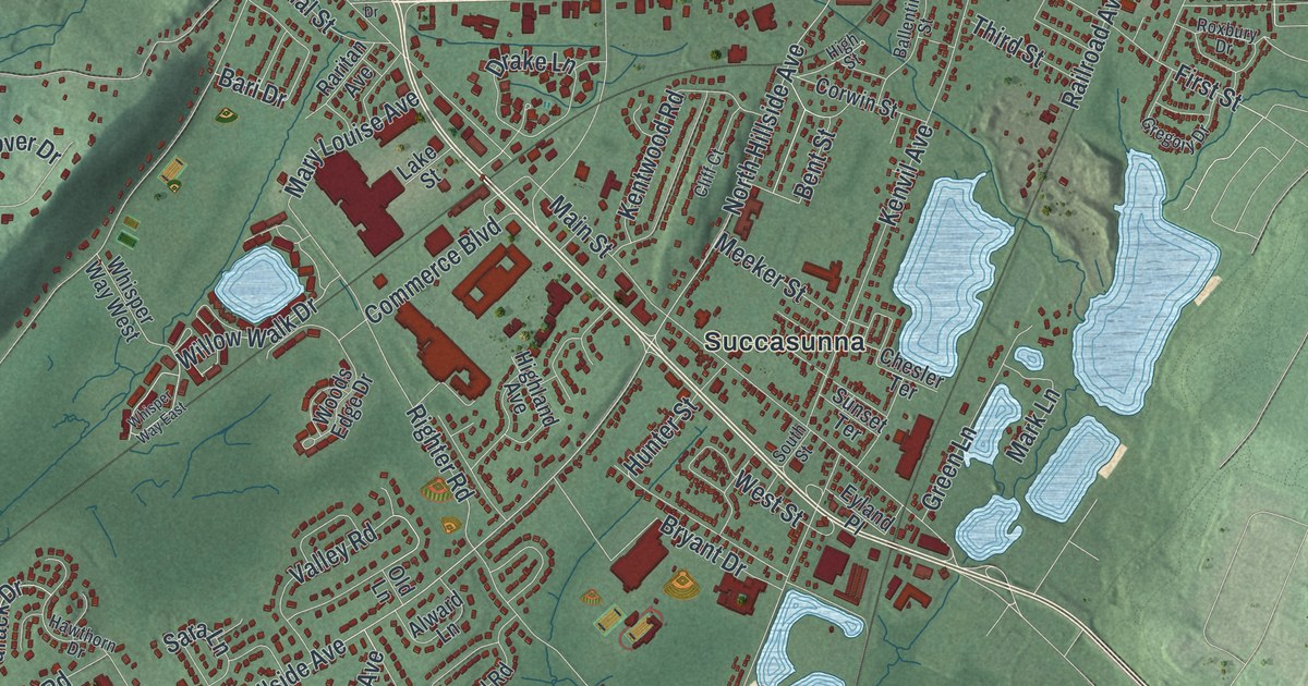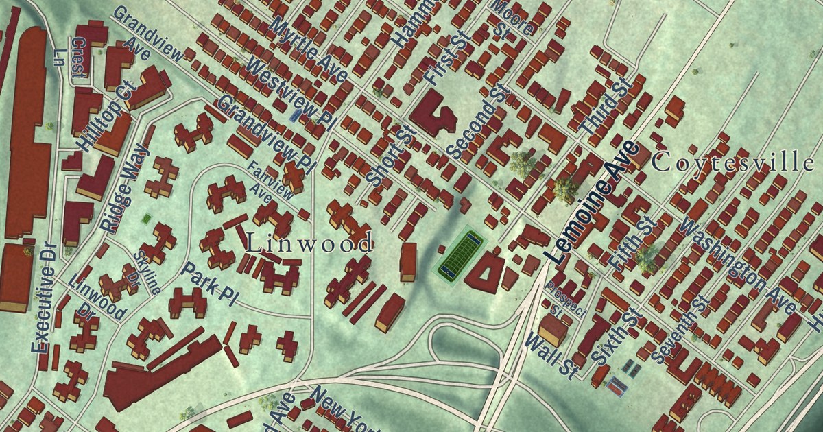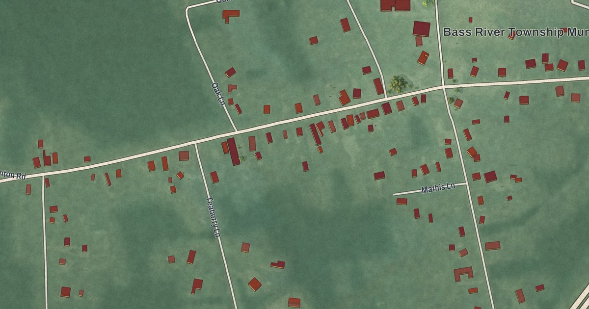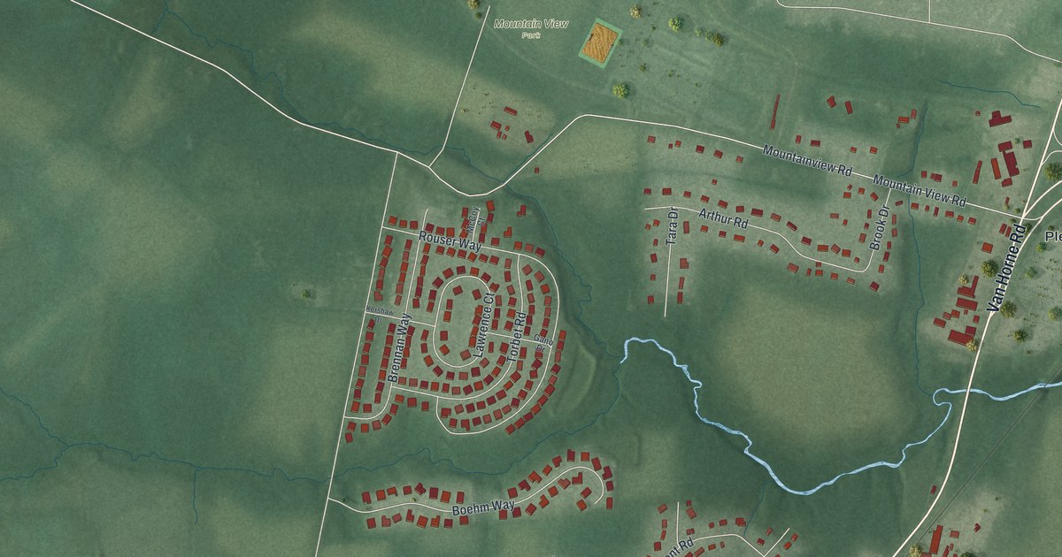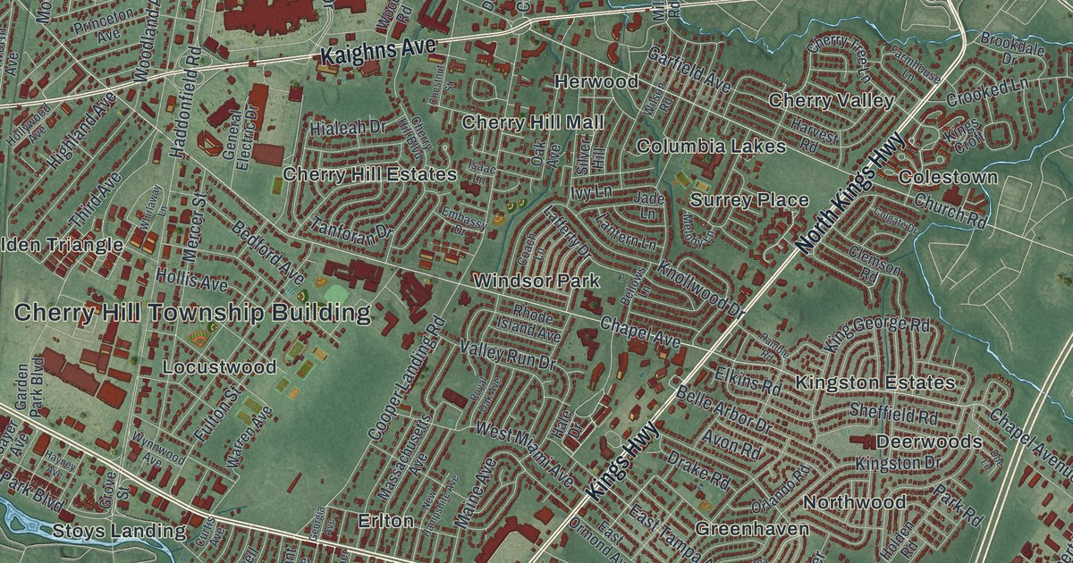
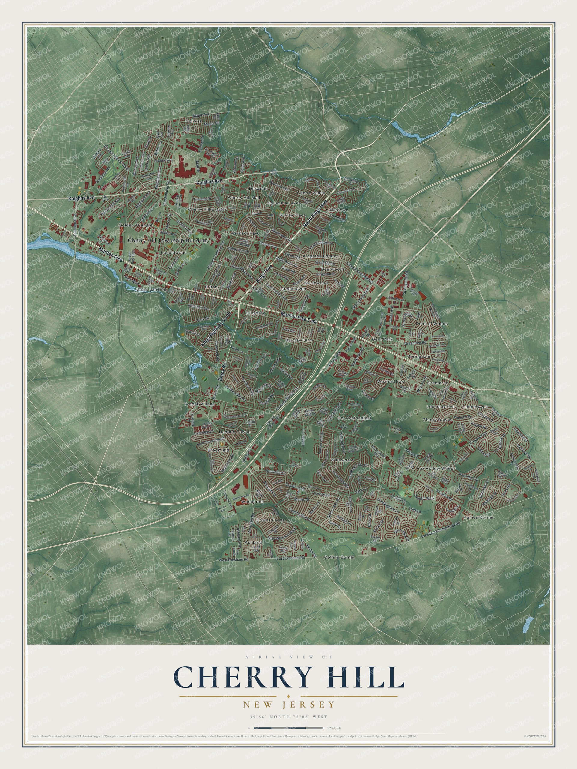
This beautifully detailed map of Cherry Hill, New Jersey was created in 2026 using aerial imagery combined with modern topographical, census, street and landmark data. It’s a one-of-a-kind view of Cherry Hill that combines accurate data with a vintage aesthetic. The map shows every building in its true location, many of the roads carry their names, and the shaded topographic relief shows the shape of the land.
Explore an aerial view of Cherry Hill, New Jersey
On the map you’ll find Cherry Hill Township Building, Ashland, Barclay Farm, Brookfield, Candlewyck, Charleston East, Cherry Downs, Cherry Hill Estates, Cherry Hill Mall, Cherry Valley, Coffins Corner, Colestown, and more. If you look closely you can even find your house accurately drawn in its correct location. Zoom in on the preview to look for yours.
Did You Know?
Cherry Hill was once called Delaware Township. Its name came from a 19th-century farm owned by Captain Abraham M. Browning, where cherry trees grew. The Postal Service demanded a new name because Hunterdon County had a Delaware Township too. Voters picked Cherry Hill, and it became official on November 7, 1961.
Take a closer look at the Cherry Hill map
Names on this map
These names are printed on this map.
Places: Cherry Hill Township Building, Ashland, Barclay Farm, Brookfield, Candlewyck, Charleston East, Cherry Downs, Cherry Hill Estates, Cherry Hill Mall, Cherry Valley, Coffins Corner, Colestown, Columbia Lakes, Colwick, Deer Park, Deerwoods, Downs Farms, Ellisburg, Erlton, Fox Hollow Woods, Golden Triangle, Greenhaven, Greentree, Haddon Towne, Haines Corner, Herwood, Kingston Estates, Locust Grove, Locustwood, Northwood, Point of Woods, Springdale, Stoys Landing, Surrey Place, Tyndall Village, Wexford East, Willowdale, Windsor Park and Woodcrest.
Streets and roads: Marlton Pike, Brace Road, Kings Highway, North Kings Highway, Marlton Pike East, Kaighns Avenue, Kings Highway South, East Evesham Road, Church Road, Chapel Avenue West, Evesham Clements Br Road, Cuthbert Boulevard.
More street names, A to Z
Abington Road, Ann Drive, Arthur Drive, Ashbrook Road, Ashford Road, Ashland Avenue, Astor Drive, Astoria Boulevard, Atlantic Avenue, Avon Road, Bala Road, Barby Lane, Barclay Lane, Barcroft Drive, Bedford Avenue, Belle Arbor Drive, Bellows Lane, Berlin Road, Blue Jay Lane, Bortons Mill Road, Box Hill Drive, Brian Drive, Brick Road, Brookdale Drive, Browning Lane, Bryant Road, Bunker Hill Drive, Burning Tree Road, Burnt Mill Road, Burrough's Mill Circle, Caldwell Road, Cameo Drive, Cardinal Lake Drive, Carnegie Plaza, Chalet Drive, Chanticleer, Chapel Avenue, Chapel Avenue East, Charles Lane, Chaucer Place, Cherry Hill Boulevard, Cherry Tree Lane, Chestnut Street, Chestnut Terrace, Clemson Road, Coach Lane, Cohasset Lane, Coles Avenue, Colgate Drive, Collage Lane, Colwick Road, Conwell Avenue, Cooper Avenue, Cooper Landing Road, Cooper Run Drive, Cotswold Lane, Country Club Drive, Country Walk, Courtland Road, Covered Bridge Road, Cranford Road, Crestview Drive, Crooked Lane, Cropwell Road, Croyden Drive, Cuffys Lane, Cunningham Lane, Curtis Avenue, Deerfield Drive, Dell Drive, Delwood Road, Dobbs Lane, Doe Lane, Donahue Avenue, Doral Drive, Downing Street, Drake Road, Drive, Dublin Lane, Dudley Avenue, East Doris Drive, East Ormond Avenue, East Partridge Lane, East Riding Drive, East Tampa Avenue, East Third Avenue, Edgewood Drive, Edison Road, Eleanor Terrace, Elkins Road, Embassy Drive, Essex Road, Esterbrook Lane, Euclid Avenue, Europa Boulevard, Evans Mill Lane, Exton Circle, Fairfax Avenue, Fairhaven Drive, Farmhouse Lane, Fifth Avenue, Forest Hill Drive, Forge Road, Fox Hollow Drive, Franklin Avenue, Fries Lane, Fulton Street, Furlong Drive, Gainsboro Road, Garden Park Boulevard, Garfield Avenue, Garwood Drive, General Electric Drive, Georgia Avenue, Grant Avenue, Granville Drive, Greentree Road, Greentree Way, Grove Street, Guilford Road, Haddonfield Road, Hadleigh Drive, Hale Drive, Hampton Road, Haral Place, Harding Avenue, Harvest Road, Hayney Avenue, Heartwood Drive, Heartwood Road, Heritage Road, Hialeah Drive, Hidden Lane, Highgate Lane, Highland Avenue, Hillside Drive, Hilltop Drive, Holden Road, Hollis Avenue, Hollywood Avenue, Howard Johnson Road, Hurff Avenue, Imperial Drive, Indian King Drive, Iris Road, Isaac Lane, Ivy Lane, Jade Lane, Jefferson Avenue, Justa Lane, Karen Drive, Kay Avenue, Kay Drive East, Kay Drive West, Kenilworth Avenue, Kent Road, Kenwood Drive, Keystone Avenue, Kilburn Drive, King Avenue, King George Road, Kings Croft, Kings Drive, Kingston Drive, Knollwood Drive, Kresson Road, Lafferty Drive, Lakeview Drive, Lantern Lane, Lark Lane, Larwin Road, Laurel Hill Drive, Leith Hill Drive, Lenape Road, Liberty Bell Drive, Lincoln Avenue, Lisa Lane, Longstone Drive, Lowber Drive, Lucerne Boulevard, Maine Avenue, Main Street, Mall Drive, Maple Avenue, Marlkress Road, Marlowe Road, Massachusetts Avenue, Media Road, Melody Lane, Mercer Street, Merion Avenue, Mill Road, Mimosa Drive, Missouri Avenue, Monroe Avenue, Morningside Drive, Morris Drive, Munn Avenue, Munn Lane, Nantucket Drive, Nathaniel Avenue, Nature Drive, New Hampshire Avenue, Niamoa Drive, North Brookfield Road, North Green Acre Drive, Northwood Avenue, Oak Avenue, Oakley Drive, Oakview Avenue, Ocean Avenue, Ogden Avenue, Old Cuthbert Road, Old Ice House Lane, Old Orchard Road, Olive Street, Olney Avenue, Orlando Road, Owl Lane, Paddock Way, Park Boulevard, Park Drive, Park Road, Parnell Drive, Partree Road, Partridge Lane, Pearlcroft Road, Pelham Road, Pendleton Drive, Perina Boulevard, Petitt Avenue, Philellena Road, Pine Valley Road, Pleasant Drive, Pointview Avenue, Prince Drive, Princeton Avenue, Provincetown Circle, Pvt Driveway, Queen Ann Road, Rabbit Run Road, Ramble Road, Ranoldo Terrace, Ravenswood Way, Red Oak Drive, Regent Road, Rhode Island Avenue, Robin Lake Drive, Rockhill Road, Rolling Lane, Royal Oak Avenue, Rymill Run, Saint Marys Drive, Saint Moritz Lane, Sandringham Road, Saxby Terrace, Sayer Avenue, School Lane, Sequoia Road, Sharrowvale Road, Sheffield Road, Sherry Way, Short Hills Drive, Signal Hill Road, Silver Hill, Simi Court, Sixth Avenue, Society Hill, Split Rock Drive, Springdale Road, Spring Road, Stanford Road, State Street, Sussex Avenue, Tampa Avenue, Tanforan Drive, Tavistock Road, Tearose Lane, Third Avenue, Thornhill Road, Union Avenue, Uxbridge Drive, Valley Run Drive, Village Drive, Walt Whitman Boulevard, Warren Avenue, Waverly Road, West Evesham Road, West Miami Avenue, Weston Drive, West Valleybrook Road, Wexford Drive, Whirlaway Lane, Willowdale Drive, Willow Way, Wilson Road, Winding Drive, Winding Way, Winston Way, Wisteria Avenue, Woodcrest Road, Woodland Avenue, Woods Road, Wynnwood Avenue, York Road.
See it on a wall
The Cherry Hill map as an 18 x 24 inch print in a black frame.

This beautifully detailed map of Cherry Hill makes an attractive addition to your office, library, or den, and it can even be used to teach children the geography and history of the area. It also makes a great gift for someone who left Cherry Hill and still calls it home. When you’re done exploring, click here to get your copy of the Cherry Hill map.