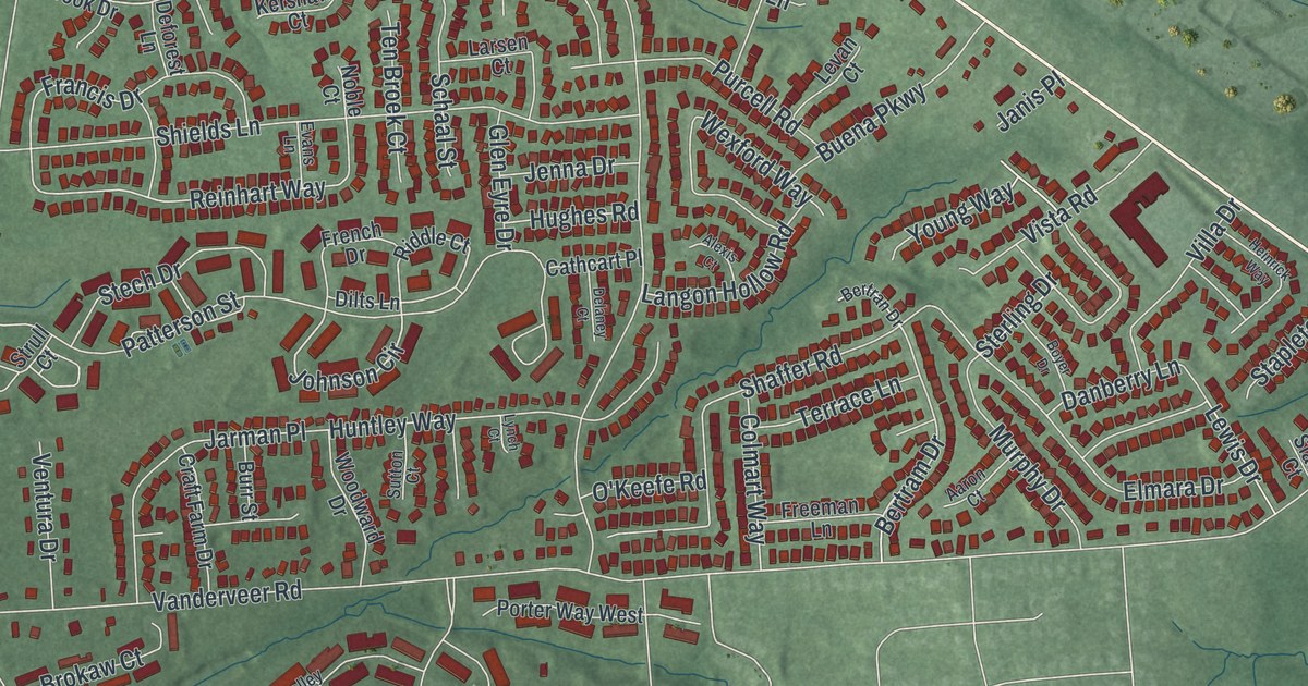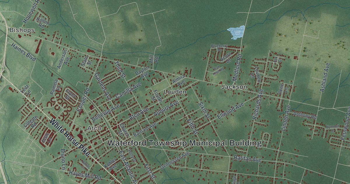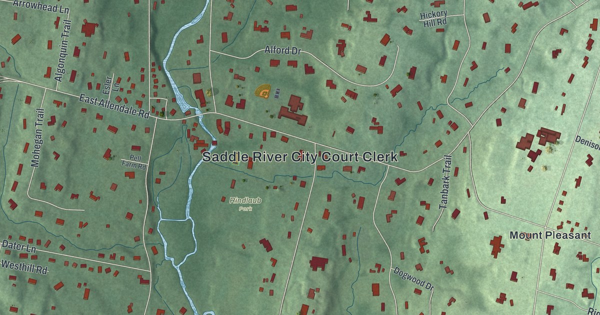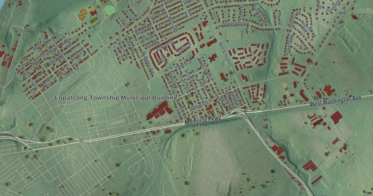
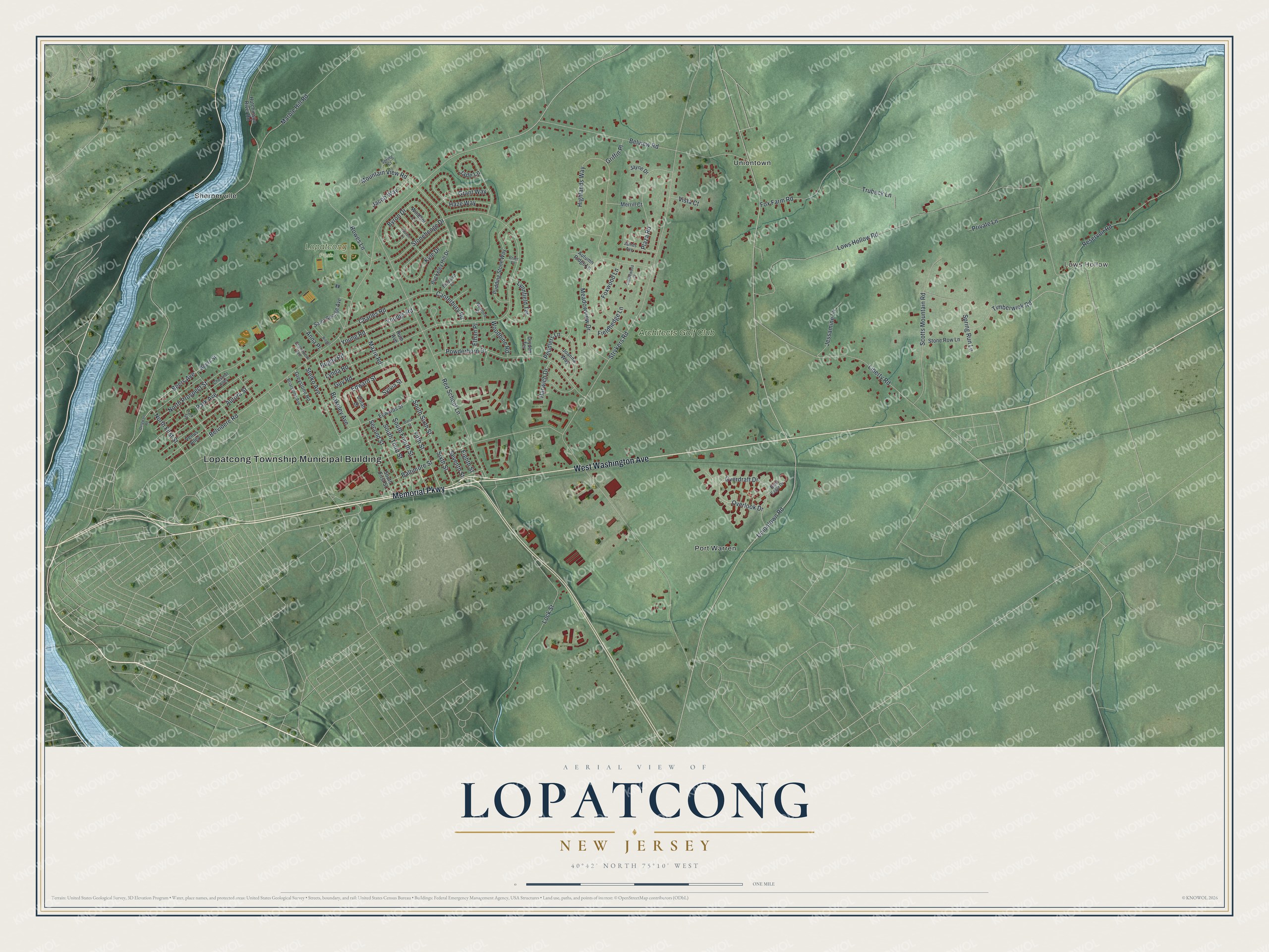
This beautifully detailed map of Lopatcong, New Jersey was created in 2026 using aerial imagery combined with modern topographical, census, street and landmark data. It’s a one-of-a-kind view of Lopatcong that combines accurate data with a vintage aesthetic. The map shows every building in its true location, many of the roads carry their names, and the shaded topographic relief shows the shape of the land.
Explore an aerial view of Lopatcong, New Jersey
On the map you’ll find Lopatcong Township Municipal Building, Lows Hollow, Port Warren, Shernerville, and Uniontown, along with Memorial Parkway, Washington Avenue, Uniontown Road, Overlook Drive, and more. If you look closely you can even find your house accurately drawn in its correct location. Zoom in on the preview to look for yours.
Did You Know?
The township began in 1851 as Phillipsburg Township. Phillipsburg split off as its own municipality in 1861. In 1863 the township was renamed for Lopatcong Creek. That name traces to four Lenape words meaning winter watering place for deer.
Take a closer look at the Lopatcong map
Names on this map
These names are printed on this map.
Places: Lopatcong Township Municipal Building, Lows Hollow, Lopatcong Park, Port Warren, Shernerville, Uniontown and Architects Golf Club.
Streets and roads: Memorial Parkway, West Washington Avenue, Uniontown Road, Overlook Drive, North First Street, Strykers Road, Belvidere Road, Lows Hollow Road, Stonehenge Drive, Red School Lane, Lock Street, Belview Road.
More street names, A to Z
Anna Place, Aurora Street, Autumn Ridge Lane, Bald Eagle Drive, Baltimore Street, Beers Avenue, Beers Street, Bradford Court, Brakeley Avenue, Briarstone Avenue, Brier Place, Buckeley Hill Drive, Byron Drive, Canterbury Road, Charles Road, Chestnut Alley, Cobblewood Court, Dana Street, Delaware Road, Dinah Drive, Dryden Terrace, Edwards Street, Edward Street, Eighth Street, Ethan Place, Fieldhedge Lane, Fifth Street, Fox Farm Road, Foxwood Lane, Grandview Avenue, Grant Way, Greystone Road, Griffin Place, Guy Road, Harwich Drive, Haze Way, Highlands Way, Hutchinson River Road, Jacob Way, Jade Lane, James Avenue, Jayne Drive, Jessamine Lane, Joanna Way, Kyle Drive, Lauren Lane, Liberty Road, Lynda Road, Lynnfield Terrace, Marble Hill Road, Mazie Road, Meadowview Drive, Merrill Court, Mountain View Road, North Prospect Street, Overdraft Drive, Park Avenue, Park Square, Peddlers Lane, Plaza Road, Powderhorn Drive, Private Lane, Pudding Stone Way, Reservoir Road, Riegel, Rowes Lane, Rugby Road, Ruth Avenue, Saint George Avenue, Scotts Mountain Road, Second Street, Seventh Street, Sixth Street, South First Street, South Fourth Street, South Sixth Street, South Third Street, Spring Court, Spring Run Lane, Stelko Avenue, Stone Row Lane, Sylvia Street, Timberwick Road, Trubeck Lane, Venus Alley, Vista Court, Wexford Court, Windsor Lane, Woodbine Road, Young Road, Youngs Road.
See it on a wall
The Lopatcong map as an 18 x 24 inch print in a black frame.

This beautifully detailed map of Lopatcong makes an attractive addition to your office, library, or den, and it can even be used to teach children the geography and history of the area. It also makes a great gift for anyone who grew up in Lopatcong or moved away. When you’re done exploring, click here to get your copy of the Lopatcong map.