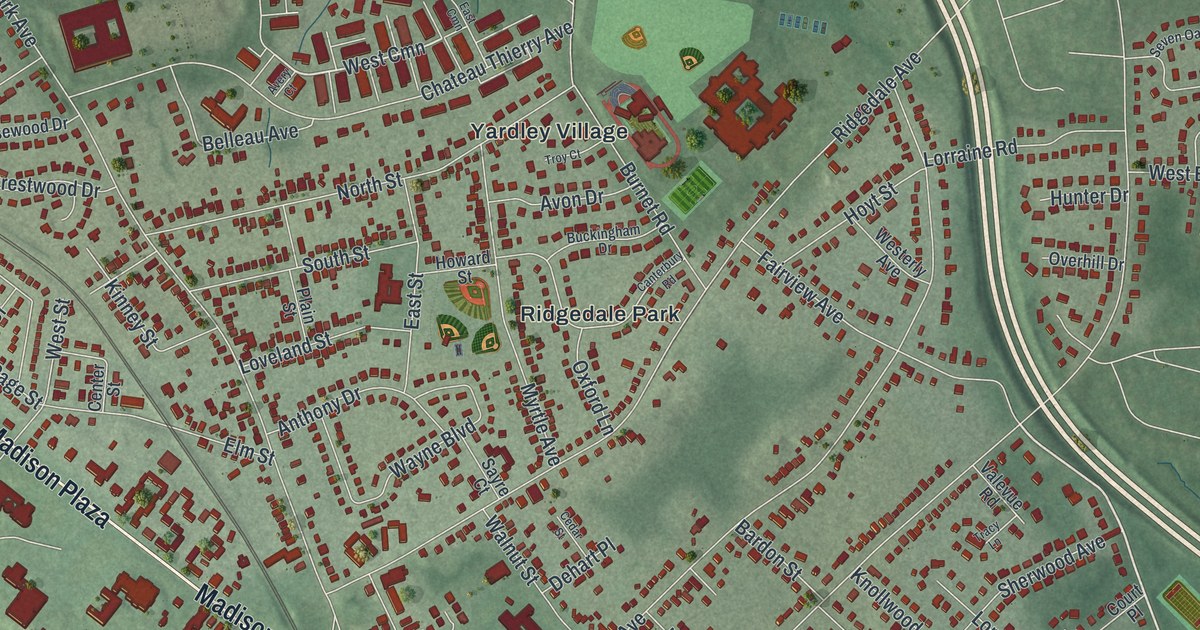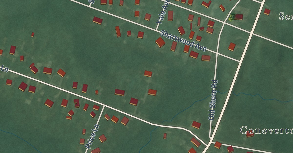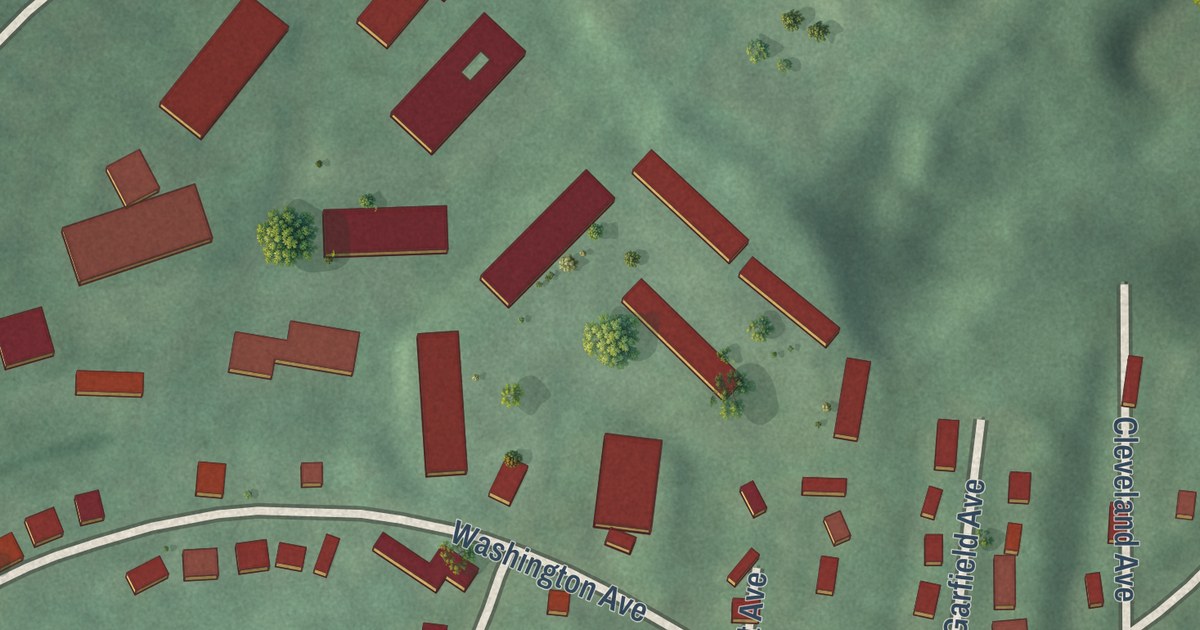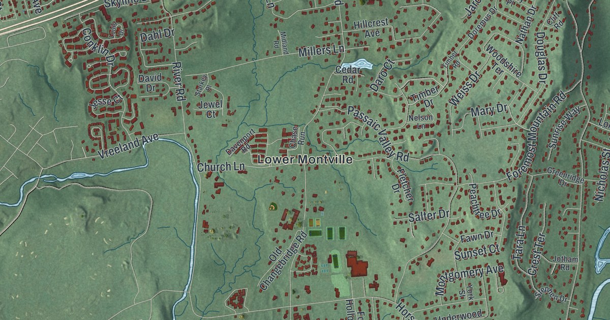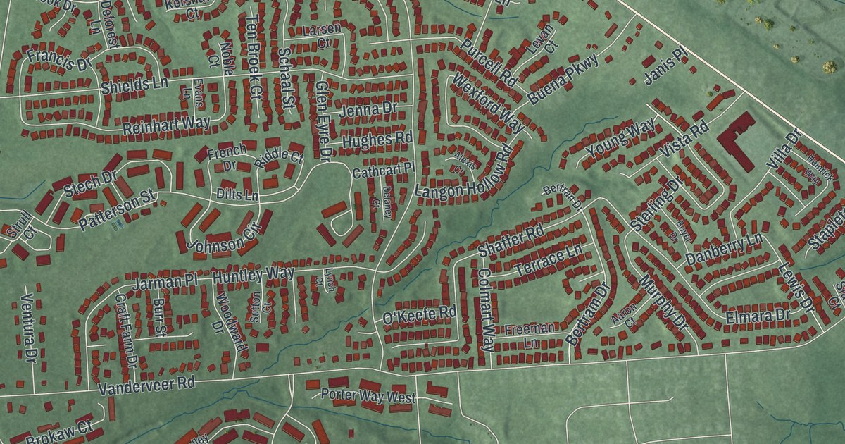
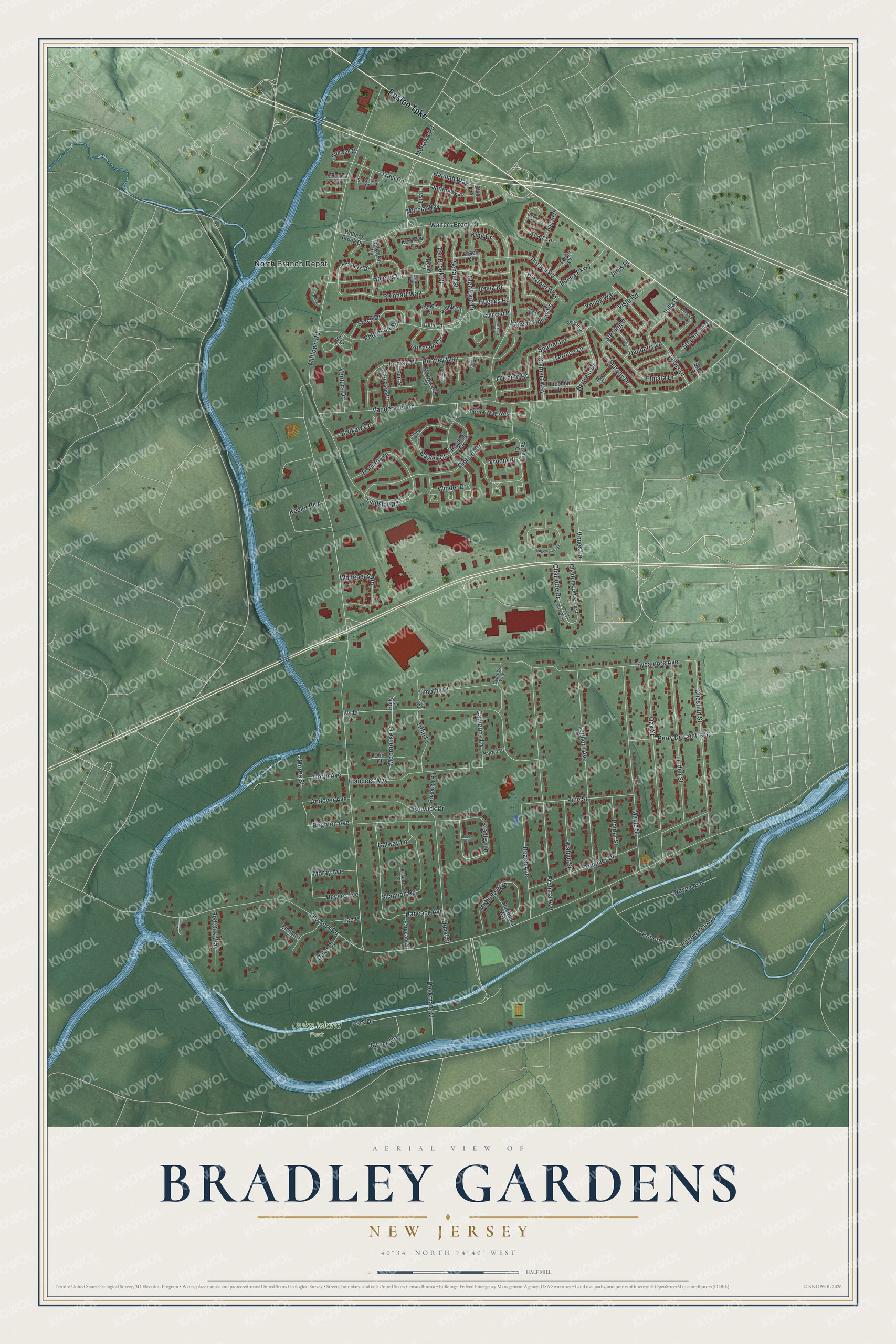
This beautifully detailed map of Bradley Gardens, New Jersey was created in 2026 using aerial imagery combined with modern topographical, census, street and landmark data. It’s a one-of-a-kind view of Bradley Gardens that combines accurate data with a vintage aesthetic. The map shows every building in its true location, many of the roads carry their names, and the shaded topographic relief shows the shape of the land.
Explore an aerial view of Bradley Gardens, New Jersey
On the map you’ll find Duke Island Park and North Branch Depot, along with Easton Turnpike, Walters Brook Drive, Johnson Circle, Shaffer Road, Young Way, Morris Street, Bertram Drive, Reinhart Way, Milltown Road, Old York Road, and more. If you look closely you can even find your house accurately drawn in its correct location. Zoom in on the preview to look for yours.
Take a closer look at the Bradley Gardens map
Names on this map
These names are printed on this map.
Places: Duke Island Park and North Branch Depot.
Streets and roads: Easton Turnpike, Walters Brook Drive, Johnson Circle, Shaffer Road, Young Way, Morris Street, Bertram Drive, Reinhart Way, Milltown Road, Old York Road, Vanderveer Road, Park Drive.
More street names, A to Z
Aaron Court, Alexis Court, Andover Avenue, Ardmaer Drive, Bayley Court, Beach Avenue, Beekman Road, Bertran Drive, Berwick Drive, Bogart Drive, Boyer Drive, Bradley Lane, Brahma Avenue, Brighton Avenue, Brokaw Court, Buena Parkway, Bujak Court, Burr Street, Campbell Court, Cathcart Place, Catherine Lane, Centre Street, Charlotte Drive, Charlotte Drive East, Charlotte Drive West, Chestnut Street, Colmart Way, Craft Farm Drive, Cypress Way, Danberry Lane, Decker Lane, Deforest Lane, Delaney Court, Dilts Lane, Doolittle Drive, Duke Court, Duval Street, Edgewater Avenue, Edgewood Terrace, Ellen Lane, Elmara Drive, Emmons Court, Erin Court, Evans Lane, Fern Court, Flanders Way, Francis Drive, Freeman Lane, French Drive, Galway Lane, Glen Eyre Drive, Hancock Avenue, Hannah Way, Heinrick Way, Holly Court, Hughes Road, Huntley Way, Ivy Lane, Janine Way, Janis Place, Jarman Place, Jaycee Road, Jenna Drive, Karen Place, Keeler Boulevard, Kershaw Court, Killarney Street, King Drive, Kiser Lane, Langon Hollow Road, Larsen Court, Lee Place, Leghorn Avenue, Levan Court, Lewis Drive, Linden Street, Lindsley Road, Lisa Lane, Lynch Court, Maple Street, Marcia Way, McBride Way, Mohawk Road, Moorhouse Court, Moray Avenue, Murphy Drive, Noble Court, North Avenue, O'Keefe Road, Oak Street, Palley Court, Patterson Street, Perry Drive, Pine Street, Pinhorn Drive, Poplar Street, Porter Way West, Purcell Road, Reading Circle, Redmond Court, Red Oak Way, Revere Avenue, Riddle Court, Roanoke Road, Robert Street, Salvatore Court, Sargeant Street, Schaal Street, Server Court, Shannon Road, Shields Lane, Slack Court, Staats Court, Stapleton Court, Stech Drive, Sterling Drive, Stillwell Court, Strull Court, Studdiford Way, Sutton Court, Sycamore Avenue, Ten Broek Court, Terrace Lane, Tiffin Place, Timothy Place, Traci Road, Ventura Drive, Villa Drive, Vista Road, Vones Lane, Vroom Drive, Walnut Street, Walter's Brook Drive, Wayne Avenue, Wexford Way, Whitehead Road, Winder Drive, Woodward Drive.
See it on a wall
The Bradley Gardens map as an 18 x 24 inch print in a black frame.

This beautifully detailed map of Bradley Gardens makes an attractive addition to your office, library, or den, and it can even be used to teach children the geography and history of the area. It also makes a great gift for someone who left Bradley Gardens and still calls it home. When you’re done exploring, click here to get your copy of the Bradley Gardens map.