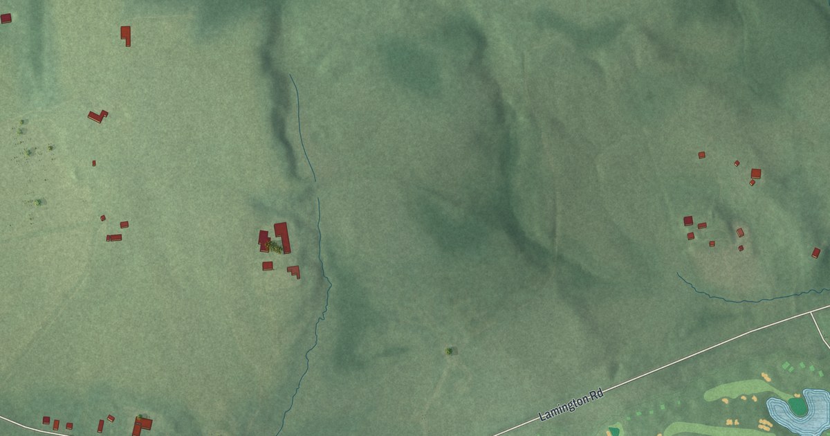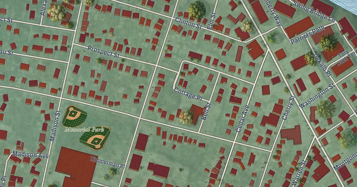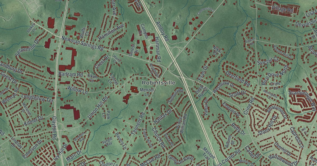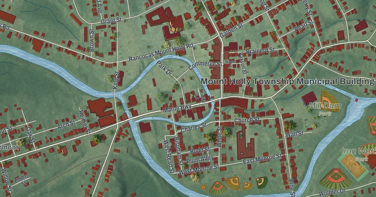
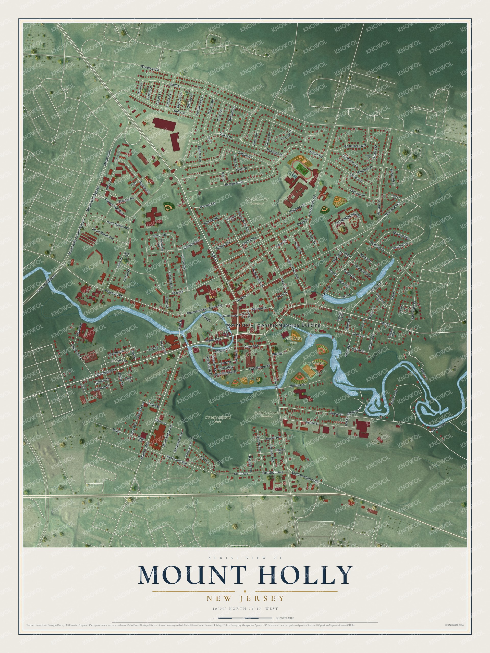
This beautifully detailed map of Mount Holly, New Jersey was created in 2026 using aerial imagery combined with modern topographical, census, street and landmark data. It’s a one-of-a-kind view of Mount Holly that combines accurate data with a vintage aesthetic. The map shows every building in its true location, many of the roads carry their names, and the shaded topographic relief shows the shape of the land.
Explore an aerial view of Mount Holly, New Jersey
On the map you’ll find Mount Holly Township Municipal Building, Clermont, Creek Island Park, Iron Works Park, Mill Dam Park, and Saint Andrew’s Cemetery, along with High Street, Washington Street, Marne Highway, Mill Street, and more. If you look closely you can even find your house accurately drawn in its correct location. Zoom in on the preview to look for yours.
Did You Know?
Mount Holly is an old Quaker town named for a small mountain covered in holly. The cone-shaped hill rises to 183 feet from a level clearing. It stands in the northern part of the original 300-acre tract where the town was built. That’s from the 1939 WPA guide to New Jersey.
Take a closer look at the Mount Holly map
Names on this map
These names are printed on this map.
Places: Mount Holly Township Municipal Building, Clermont, Creek Island Park, Iron Works Park, Mount Holly Cemetery, Mill Dam Park and Saint Andrew's Cemetery.
Streets and roads: High Street, Washington Street, Marne Highway, Mill Street, Madison Avenue, Charles Street, Harmony Lane, West Read Street, West Monroe Street, Parkers Mill Boulevard, Jacksonville Road, Bartram Avenue.
More street names, A to Z
Arch Street, Arnold Avenue, Ashurst Lane, Bank Avenue, Barberry Lane, Birch Avenue, Bispham Street, Blue Jay Lane, Bong Terrace, Brainerd Street, Branch Street, Briarwood Avenue, Broad Street, Brown Street, Budd Street, Buttonwood Street, Caley Avenue, Canary Lane, Cardinal Lane, Cedar Street, Chenault Court, Cherry Street, Chestnut Street, Church Street, Clay Street, Clifton Avenue, Clover Street, Comfort Avenue, Commerce Street, County Route 541 Bypass, Cripps Drive, Curlew Lane, Curtis Lane, Dawn Drive, Devon Road, Eagle Avenue, East Monroe Street, East South Avenue, Elizabeth Court, Elm Street, Emma Street, Evergreen Street, Filbert Street, First Montgomery Drive, Front Street, Garden Street, Gibson Avenue, Gillman Street, Girard Street, Grant Street, Green Street, Greenwood Avenue, Harmon Road, Harrison Avenue, Hawthorne Drive, Hemlock Street, Henry Lane, Herald Avenue, Hickory Street, Hillside Road, Hilton Road, Holeman Street, Holly Lane, Homestead Avenue, Hulme Street, Jefferson Avenue, Joseph Place, Kates Trak, King Street, Kirby Court, Lake Drive, Larch Alley, Levis Drive, Lincoln Avenue, Lippincott Lane, Lois Lane, Manor Terrace, Mary Street, Meadow Lane, Merritt Drive, Mifflin Street, Mitchell Terrace, Monmouth Road, Moore Drive, Mount Holly, Mount Holly Avenue, Mount Holly Avenue Bypass, Mount Holly Bypass, Mount View Avenue, Murrell Street, Newcombe Drive, Nippins Avenue, North Martin Avenue, Oak Street, Paddock Way, Paducah Road, Parc Ridge Drive, Park Drive, Parkview Drive, Parliament, Paxson Street, Pearl Street, Pine Street, Plum Alley, Plymouth Court, Poplar Street, Prospect Street, Rancocas Mount Holly Road, Rancocas Road, Randall Avenue, Randolph Drive, Regency Drive, Reimer Street, Ridge, Ridge Avenue, Ridgeway Street, Ridgley Street, Ridgway Street, Risdon Street, Robin Lane, Rossell Street, Rutland Avenue, Saul Place, Shelmore Drive, Shreve Street, Smith Lane, South Avenue, South Martin Avenue, South Pemberton Road, South Somerset Avenue, Spout Spring Avenue, Starling Lane, Stevens Drive, Sunset Drive, Sussex Road, Thorndyke Avenue, Thornton Place, Tinker Drive, Top East Toy Street, Trinity Lane, Union Street, Victoria Court, Wallace Road, Wall Street, Walnut Street, Walton Road, Wesley Court, West South Avenue, White Street, Willow Street, Winding Way, Wollner Drive, Woodlane Road, Woodpecker Lane.
See it on a wall
The Mount Holly map as an 18 x 24 inch print in a black frame.

This beautifully detailed map of Mount Holly makes an attractive addition to your office, library, or den, and it can even be used to teach children the geography and history of the area. It also makes a great gift for anyone with Mount Holly roots. When you’re done exploring, click here to get your copy of the Mount Holly map.