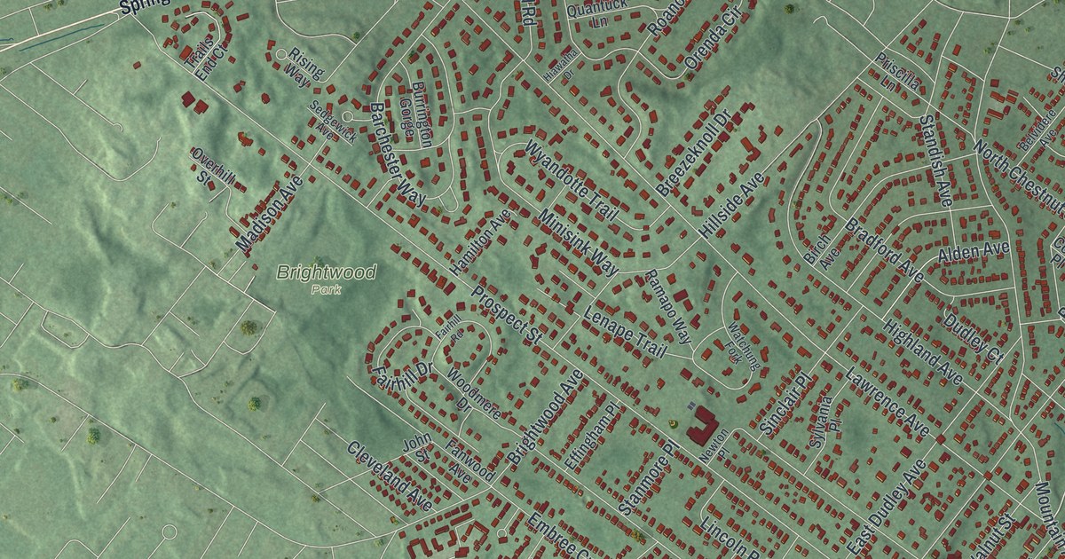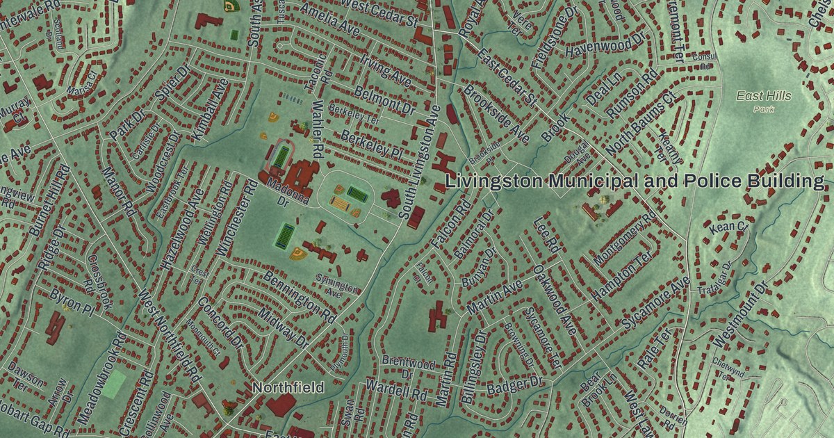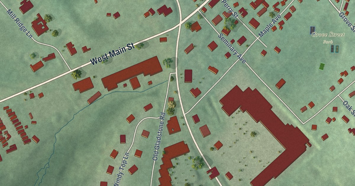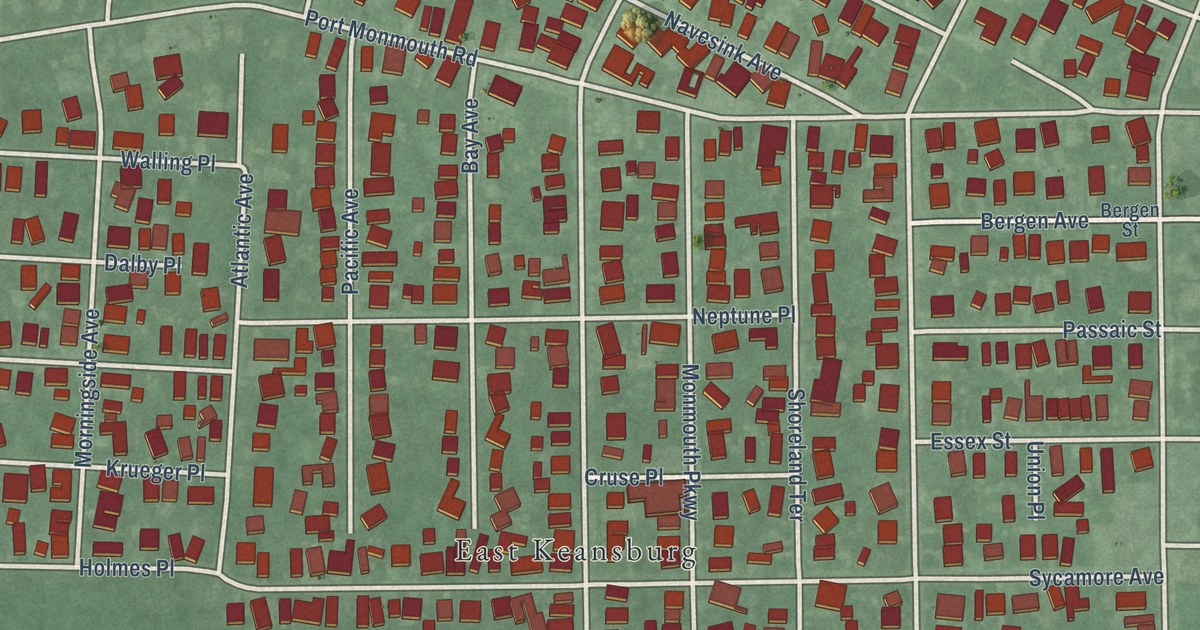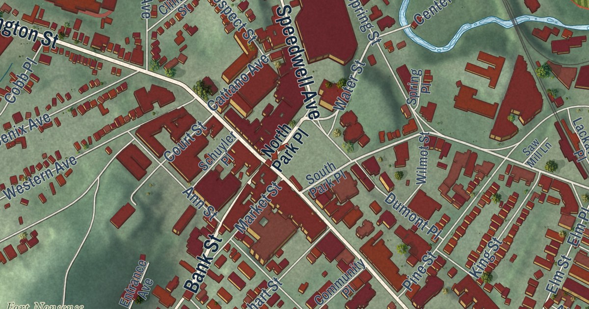
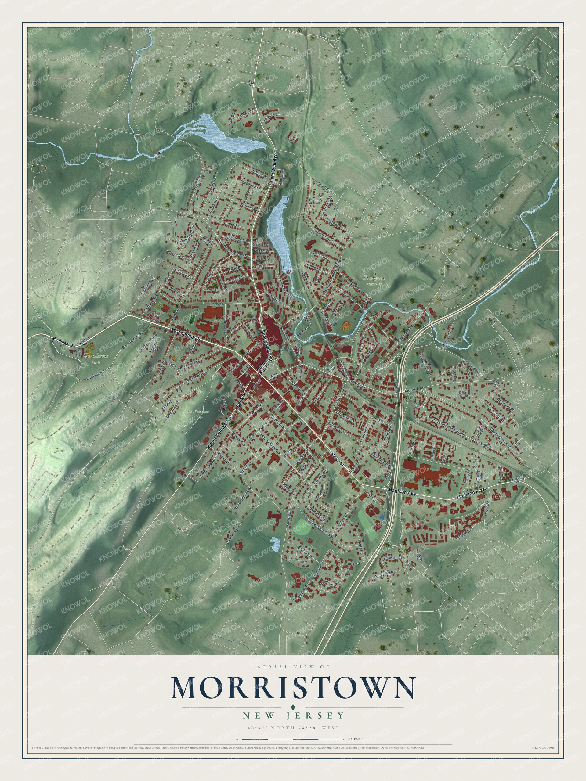
This beautifully detailed map of Morristown, New Jersey was created in 2026 using aerial imagery combined with modern topographical, census, street and landmark data. It’s a one-of-a-kind view of Morristown that combines accurate data with a vintage aesthetic. The map shows every building in its true location, many of the roads carry their names, and the shaded topographic relief shows the shape of the land.
Explore an aerial view of Morristown, New Jersey
On the map you’ll find Burnham Park, Evergreen Cemetery, and Lidgerwood Park, along with Washington Street, Bank Street, South Street, Speedwell Avenue, Madison Avenue, and more. If you look closely you can even find your house accurately drawn in its correct location. Zoom in on the preview to look for yours.
Did You Know?
English Presbyterians from Long Island and New Haven settled here around 1715. They called their village New Hanover. It later took the name of Lewis Morris, the royal governor of New Jersey. In 1777, George Washington camped his army near town from January to May, fresh from victories at Trenton and Princeton.
Take a closer look at the Morristown map
Names on this map
These names are printed on this map.
Places: Burnham Park, Evergreen Cemetery and Fort Nonsense.
Streets and roads: Washington Street, Bank Street, South Street, Speedwell Avenue, Madison Avenue, Madison Plaza, Mount Kemble Avenue, Morris Street, Water Street, Morris Avenue, Center Street, Elm Street.
More street names, A to Z
Abbett Avenue, Altamont Court, Ames Place, Ames Road, Anderson Street, Ann Street, Atno Avenue, Bellevue Terrace, Budd Street, Burnham Parkway, Burnham Road, Catherine Lane, Cattano Avenue, Chestnut Street, Clinton Place, Clinton Street, Clyde Potts Drive, Coal Avenue, Cobb Place, Colles Avenue, Collins Drive, Colonial Road, Columba Street, Community Place, Condict Place, Conklin Avenue, Continental Avenue, Cory Road, Cottage Place, Court Street, Crestwood Road, Cutler Street, Dehart Street, Dekalb Place, Dogwood Road, Dorado Drive, Dumont Place, Early Street, Elliott Street, Elm Place, Entrance Avenue, Erin Avenue, Erskine Drive, Farmhouse Lane, Farragut Place, Flagler Street, Ford Avenue, Franklin Place, Franklin Street, Fraser Lane, Frederick Street, Garden Street, George Street, Georgian Court North, Georgian Road, Grant Street, Green Hill Road, Green Street, Gregory Terrace, Guy Court, Hamilton Road, Harding Road, Harrison Street, Hazel Street, Hazlett Street, Headley Road, Henry Street, Hillairy Avenue, Hillcrest Avenue, Hill Street, Howell Place, James Street, Jardine Road, Jerome Avenue, Jersey Avenue, John Glenn Road, Kary Way, Kenmuir Avenue, King Street, Knollwood Road, Knox Road, Lackawanna Place, Lafayette Avenue, Lake Road, Lakeside Place, Laneway, Liberty Street, Lidgerwood Parkway, Lincoln Street, Linden Street, Logan Place, Lynn Court, Macculloch Avenue, Madison Street, Malcolm Street, Maple Avenue, Market Street, Martin Luther King Avenue, Max Drive, Maxwell Court, Mellon Place, Mendham Avenue, Mendham Road, Miller Road, Miller Street, Mills Street, Milton Place, Morton Street, New Street, Normandy Parkway, North Park Place, Oak Lane, Oak Street, Ogden Place, Olyphant Drive, Olyphant Place, Orchard Street, Overlook Road, Paula Court, Perry Street, Phoenix Avenue, Pine Street, Plum Street, Prospect Street, Ralph Place, Randolph Drive, Revere Road, Ridgedale Avenue, Robertson Court, Rona Road, Rosemilt Place, Rowe Street, Sand Hill Road, Saw Mill Lane, Scherzer Way, Schuyler Place, Shady Lane, Shenandoah Place, Sherman Place, South Park Place, Speedwell Place, Spring Place, Spring Street, Sussex Avenue, Taft Lane, Tiffany Road, Todd Place, Turtle Road, Tuxedo Place, Twombly Court, Vail Place, Valley View Drive, Valley View Drive West, Vanderpool Drive, Walker Avenue, Wallace Avenue, Washington Avenue, Washington Place, Western Avenue, Wetmore Avenue, Willard Place, Willow Street, Wilmot Street, Windmill Drive, Woodland Avenue, Woodlawn Drive, Woodley Road.
See it on a wall
The Morristown map as an 18 x 24 inch print in a black frame.

This beautifully detailed map of Morristown makes an attractive addition to your office, library, or den, and it can even be used to teach children the geography and history of the area. It also makes a great gift for someone who left Morristown and still calls it home. When you’re done exploring, click here to get your copy of the Morristown map.