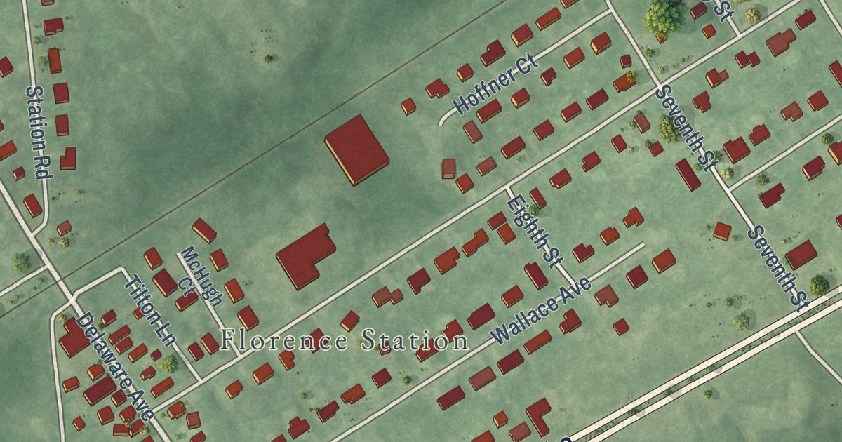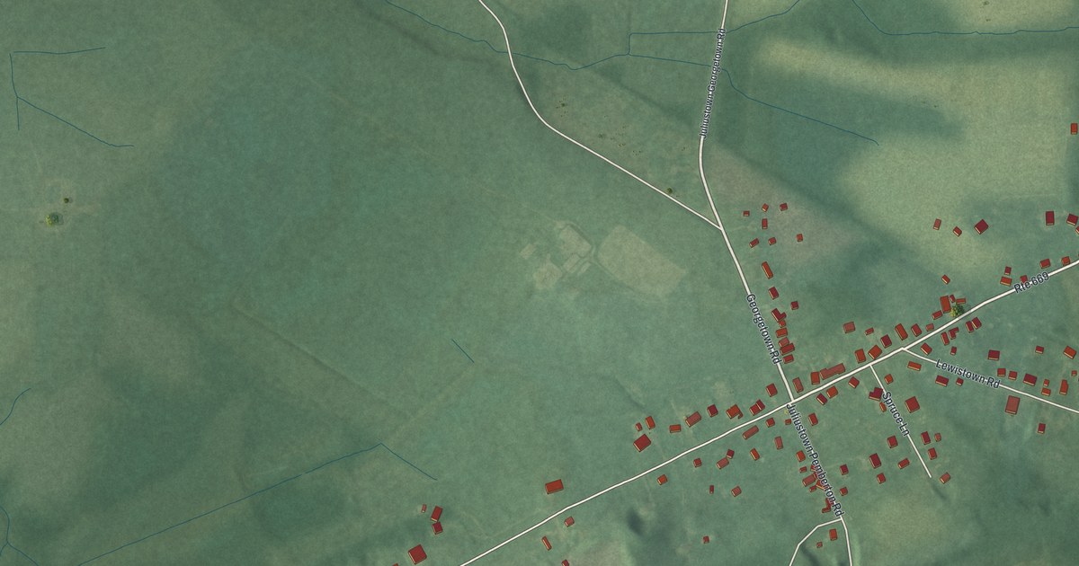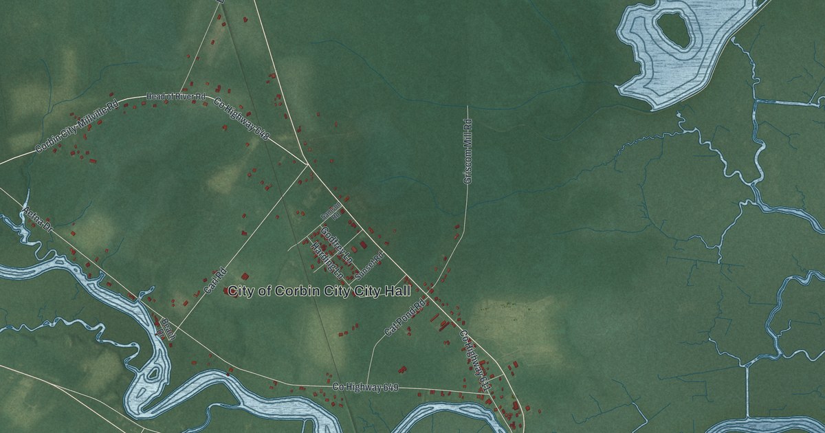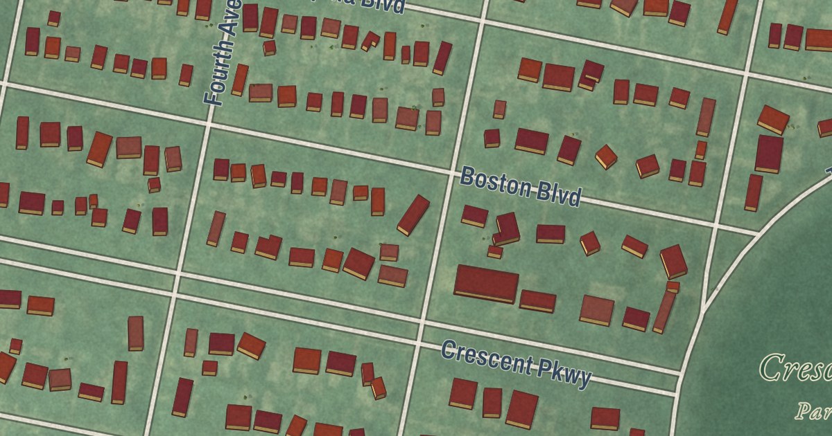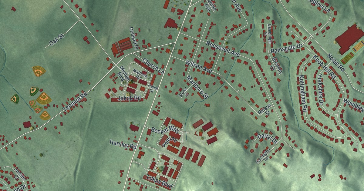
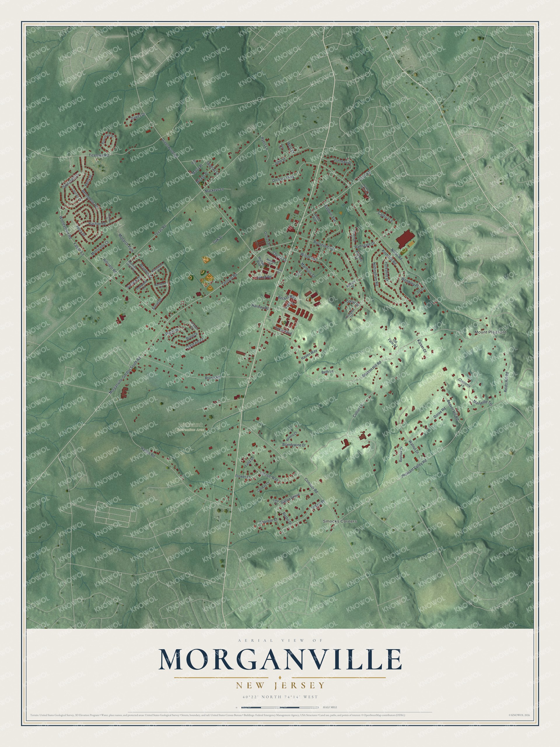
This beautifully detailed map of Morganville, New Jersey was created in 2026 using aerial imagery combined with modern topographical, census, street and landmark data. It’s a one-of-a-kind view of Morganville that combines accurate data with a vintage aesthetic. The map shows every building in its true location, many of the roads carry their names, and the shaded topographic relief shows the shape of the land.
Explore an aerial view of Morganville, New Jersey
On the map you’ll find Mount Pleasant, Smocks Corners, and Wickatunk Recreation Area, along with Lukas Boulevard, Ramsgate Drive, Greenwood Road, Bernadette Road, Falson Lane, and more. If you look closely you can even find your house accurately drawn in its correct location. Zoom in on the preview to look for yours.
Take a closer look at the Morganville map
Names on this map
These names are printed on this map.
Places: Wickatunk Recreation Area, Mount Pleasant and Smocks Corners.
Streets and roads: Lukas Boulevard, Ramsgate Drive, Greenwood Road, Bernadette Road, Falson Lane, Beacon Hill Road, Morganville-Gordon South Road, Tennent Road, Nolan Road, Texas Road, Pleasant Valley Road, Harbor Road.
More street names, A to Z
Baldwin Avenue, Basswood Lane, Bayview Drive, Beaver Hill Road, Becket Way, Beth Lane, Bittersweet Drive, Bond Drive, Bramble Drive, Brandywine Drive, Bromley Court, Brown Road, Cambridge Court, Captiva Lane, Chamonix Lane, Chardon Court, Church Lane, Classic Way, Collier Lane, Conover Road, Conway Court, Coral Court, Crescent Court, Darryl Drive, Dawes Drive, Doree Road, Dover Court, Eliz Street, Fella Drive, Flower Lane, Freneau Drive, Gallya Grove, Harnley Road, Harrington Terrace, Haven Way, Helen Drive, High Point Center Way, Hillcrest Road, Imbrie Place, Ironwood Lane, Jakob Road, Jensen Court, John Street, Kaiser Court, Knob Hill Road, Lanzaro Drive, Lloyd Road, Mackeys Lane, Maple Avenue, Marlboro Street, Marseille Terrace, Marta Place, Matthew Road, Michael Boulevard, Monarch Path, Monticello Court, Mountain Laurel Road, Nelson Street, Nottingham Road, Oak Street, Old Farm Road, Orchard Parkway, Orchard Place, Perry Street, Petra Drive, Potts Road, Provincial Drive, Rachael Drive, Regal Drive, Reids Hill Road, Revere Court, Roosevelt Avenue, Rosemont Drive, Rustic Drive, Ryers Lane, Samantha Drive, Sorrel Drive, Storer Court, Sundew Drive, Thomas Lane, Ticetown Road, Union Avenue, Walnut Drive, Wembley Place, West Court, Wicker Place, Wilson Avenue, Wooleytown Road, Yorkshire Drive.
See it on a wall
The Morganville map as an 18 x 24 inch print in a black frame.

This beautifully detailed map of Morganville makes an attractive addition to your office, library, or den, and it can even be used to teach children the geography and history of the area. It also makes a great gift for anyone with Morganville roots. When you’re done exploring, click here to get your copy of the Morganville map.