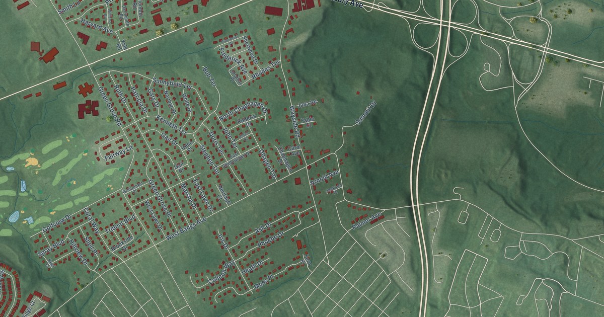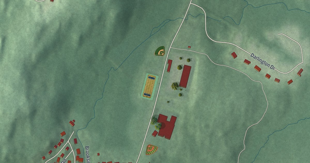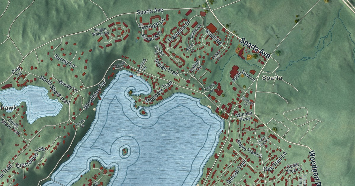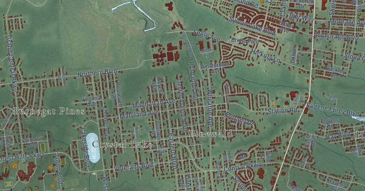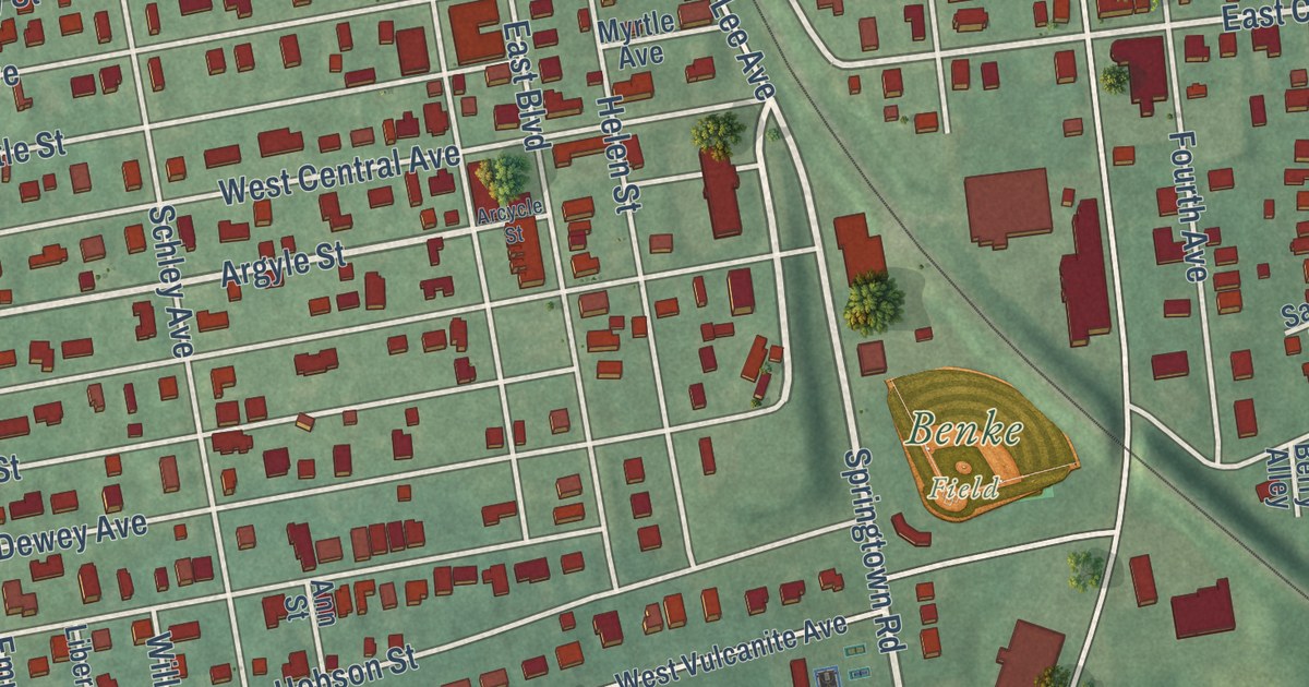
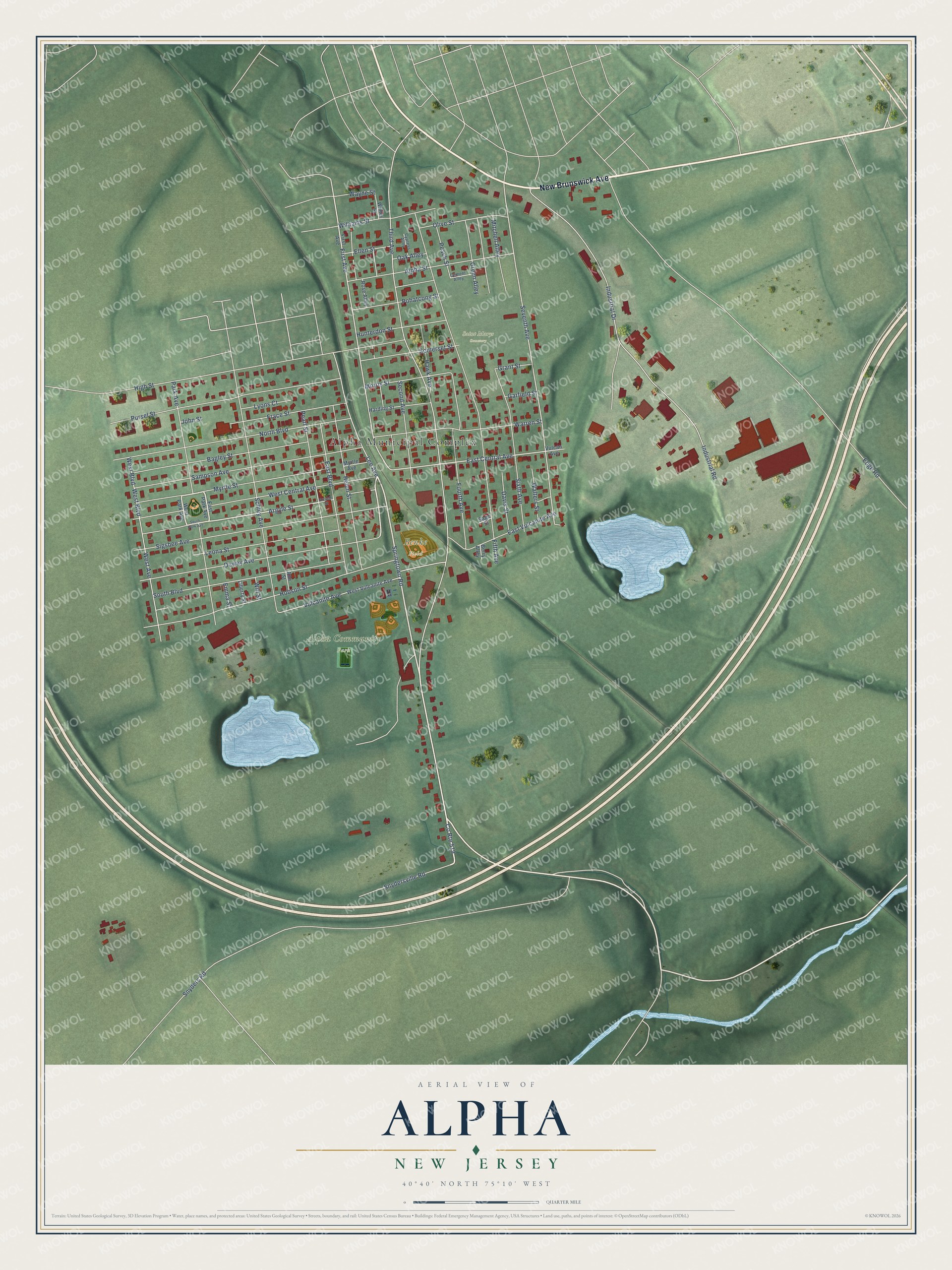
This beautifully detailed map of Alpha, New Jersey was created in 2026 using aerial imagery combined with modern topographical, census, street and landmark data. It’s a one-of-a-kind view of Alpha that combines accurate data with a vintage aesthetic. The map shows every building in its true location, many of the roads carry their names, and the shaded topographic relief shows the shape of the land.
Explore an aerial view of Alpha, New Jersey
On the map you’ll find Alpha Municipal Complex, Alpha Community Park, Saint Marys Cemetery, and Benke Field, along with New Brunswick Avenue, Springtown Road, Lee Avenue, Argyle Street, First Avenue, East Central Avenue, Seventh Avenue, Third Avenue, and more. If you look closely you can even find your house accurately drawn in its correct location. Zoom in on the preview to look for yours.
Did You Know?
Alpha took its name from the Alpha Cement Works. The community was once known as Vulcanite. In 1888, only seven houses stood within today’s borough limits. Alpha became a borough in 1911, and Governor Woodrow Wilson signed the act that created it.
Take a closer look at the Alpha map
Names on this map
These names are printed on this map.
Places: Alpha Municipal Complex, Alpha Community Park, Saint Marys Cemetery and Benke Field.
Streets and roads: New Brunswick Avenue, Springtown Road, Lee Avenue, County Route 519, Argyle Street, First Avenue, East Central Avenue, Seventh Avenue, Third Avenue, Edge Road, Fifth Avenue, Industrial Drive.
More street names, A to Z
Alpha Street, Ann Street, Arcycle Street, Bagley Street, Berry Alley, Cement Alley, Cypress Alley, Davis Street, Dewey Avenue, East Boulevard, East Park Avenue, East Vulcanite Avenue, Ellen Street, Emma Street, Fourth Avenue, Frace Street, Garfield Street, Grant Street, Green Alley, Harding Street, Hawk Avenue, Helen Street, High Street, Hobson Street, Hunterdon Street, Industrial Road, John Street, Leona Street, Liberty Street, Lyons Court, Mitchell Alley, Morris Street, Myrtle Avenue, Myrtle Street, North Boulevard, Oak Alley, Olive Street, Park Avenue, Peach Street, Pearl Street, Pohatcong Street, Pursel Street, Rose Alley, Sage Street, Sampson Avenue, Schley Avenue, Second Avenue, Sigsbee Avenue, Sixth Avenue, Snyders Road, Snydersville Road, Somerset Street, South Boulevard, South Park Avenue, Vulcan Avenue, Vulcanite Avenue, Walters Street, Warren Street, Wayne Street, West Avenue, West Boulevard, West Central Avenue, West Park Avenue, West Vulcanite Avenue, Williams Street, Will Street, Winter Street.
See it on a wall
The Alpha map as an 18 x 24 inch print in a black frame.

This beautifully detailed map of Alpha makes an attractive addition to your office, library, or den, and it can even be used to teach children the geography and history of the area. It also makes a great gift for someone who left Alpha and still calls it home. When you’re done exploring, click here to get your copy of the Alpha map.